Boise National Forest stretches across 2.6 million acres of central Idaho's mountain country, from the river canyons and foothills east of Boise to the remote reaches of the Middle Fork Boise River drainage near the Frank Church-River of No Return Wilderness. For the roughly 750,000 people living in the Boise metropolitan area, the forest represents the primary accessible backcountry, close enough for weekend trips and varied enough to sustain years of exploration.
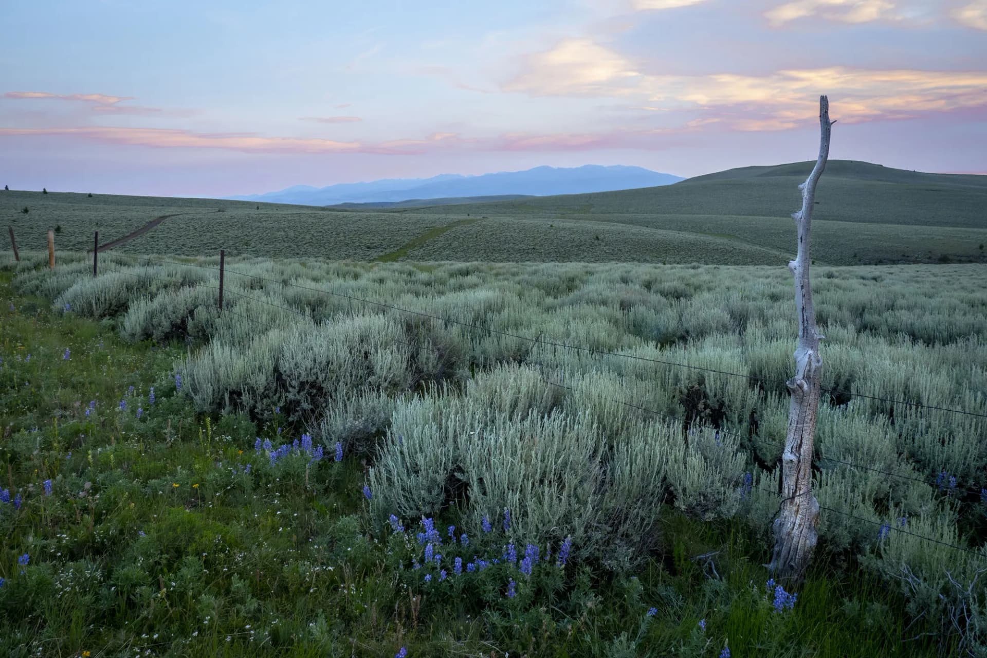
The forest encompasses a dramatic range of terrain. The southern and western portions drop into river canyons and warm semi-arid terrain where rattlesnakes sun on rocks and ponderosa pine give way to sagebrush on south-facing slopes. The northern sections climb into high alpine country around the Trinity Lakes and the Sawtooth Range, where the forest blends into the Sawtooth National Recreation Area and provides a back-door approach to some of Idaho's finest mountain terrain.
Three wilderness areas protect portions of the forest: the Sawtooth Wilderness (shared with Sawtooth National Forest), the Frank Church-River of No Return Wilderness, and the Soldier Mountains Wilderness. Together they encompass hundreds of thousands of acres of legally protected backcountry accessible from Boise-area trailheads.
Why Boise Stands Out
Accessibility from a Major City
Few national forests of this size and quality are within driving distance of a city with Boise's population. Major trailheads like those in the Bogus Basin area, the Boise Ridge, and the Garden Valley corridor are one hour from downtown. The Grandjean area and the upper South Fork Boise River are about 1.5 to 2 hours. This combination of proximity and quality makes Boise National Forest one of the most actively used forests in the Pacific Northwest/Intermountain region per capita.
River Recreation
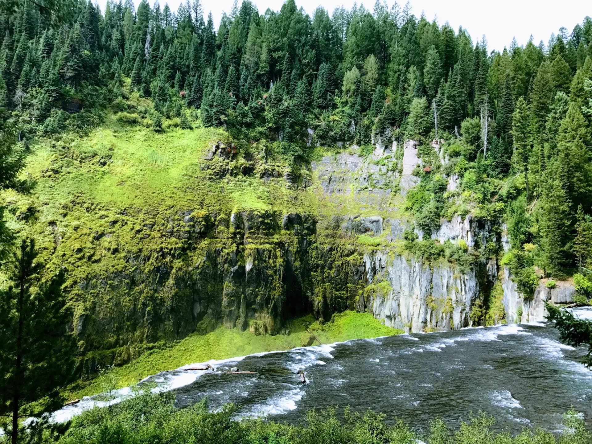
The Middle Fork Boise River and its tributaries offer some of the finest backcountry fishing in Idaho. The South Fork Boise River below Anderson Ranch Dam is a tailwater fishery that maintains cold, clear conditions year-round and supports a large population of trophy rainbow trout. Fly anglers consider this stretch among the best accessible trout water in the state. The forest also encompasses portions of the North Fork Payette River drainage, which provides whitewater kayaking and rafting from spring through early summer.
The Grandjean Gateway
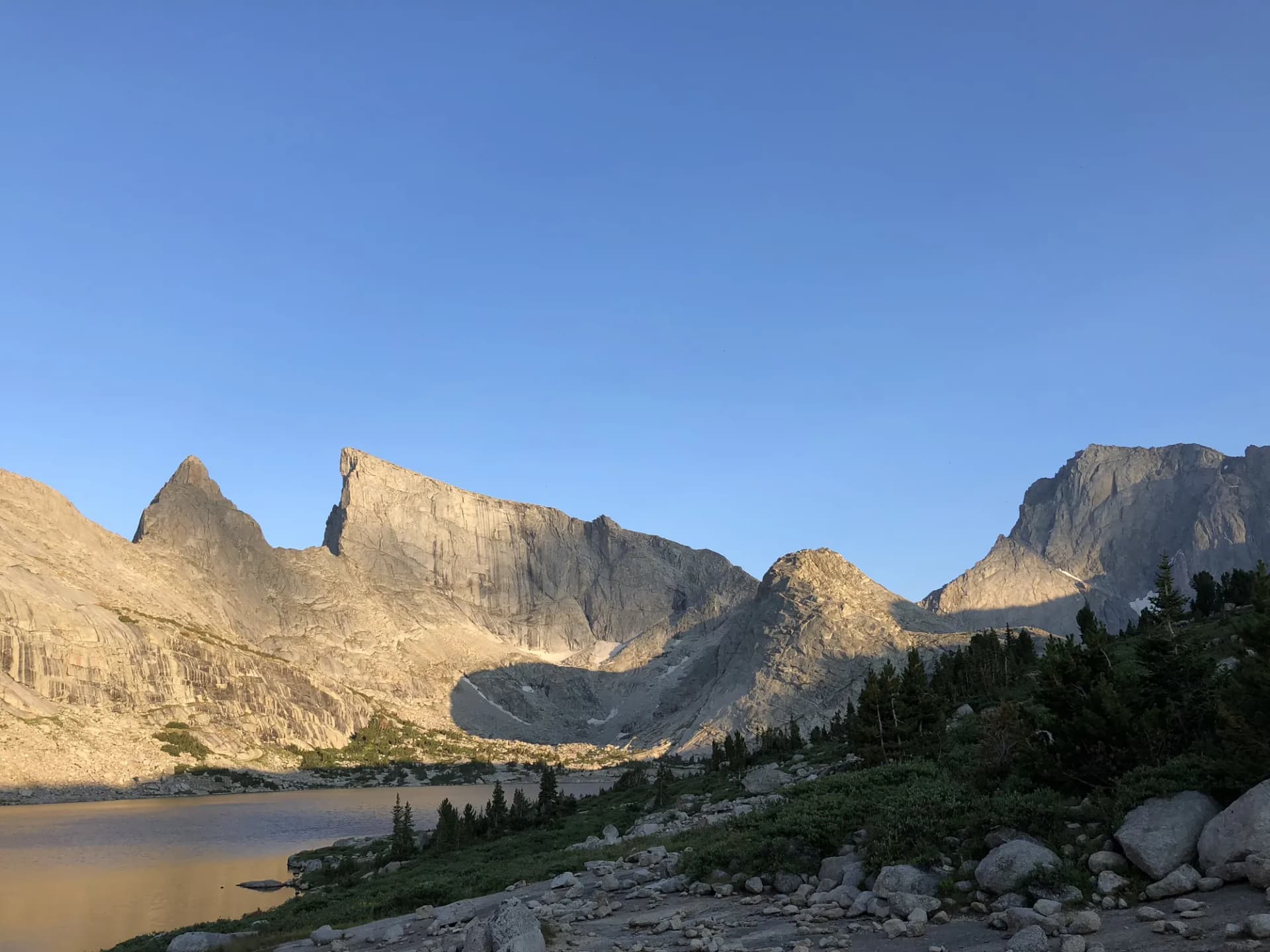
Grandjean, a small community at the end of the Grandjean Road near the western edge of the Sawtooth Wilderness, serves as both a Boise National Forest destination and a gateway to the Sawtooth peaks. The trails from Grandjean penetrate deep into the mountain country, offering access to Goat Lake (in the Sawtooth wilderness), the Queens River drainage, and the high lakes of the Soldier Mountain area. For Boise residents who want Sawtooth terrain without driving through Stanley, Grandjean is the answer.
Best Trails in Boise National Forest
Grandjean to Goat Lake covers 8 miles round-trip and 2,200 feet of gain from the Grandjean area, reaching an alpine lake at the base of the Sawtooth peaks. This is one of the finest day hikes accessible from Boise with genuine high-mountain character.
Queens River Loop is a 10-mile circuit through the Queens River drainage, offering a moderate backcountry loop through mixed forest and open terrain with 1,500 feet of gain. The loop format makes route-planning straightforward and the terrain varied.
Bald Mountain via Crooked River is a 6-mile round-trip with 1,800 feet of gain to a summit with panoramic views of the central Idaho mountains. The Crooked River drainage provides a less-traveled approach to one of the more prominent summits accessible from the Grandjean area.
Eight Mile Mountain is a strenuous 8-mile round-trip with 2,400 feet of gain to a high summit above the South Fork Boise River. The route rewards hikers who put in the work with views of the reservoir and surrounding mountain terrain.
For lower-key options, Anderson Ranch Reservoir Trail offers a 4-mile round-trip along the reservoir shoreline with minimal elevation change, good for families or hikers seeking lakeside walking without a significant climb.
Permits and Passes
No permit is required for most day hiking or overnight camping in Boise National Forest as of 2026. Developed campground sites require fees. America the Beautiful passes, including the free Military Annual Pass for veterans, cover day-use fees at developed recreation areas.
Learn more about national forest camping permits if planning an extended backcountry trip.
Camping
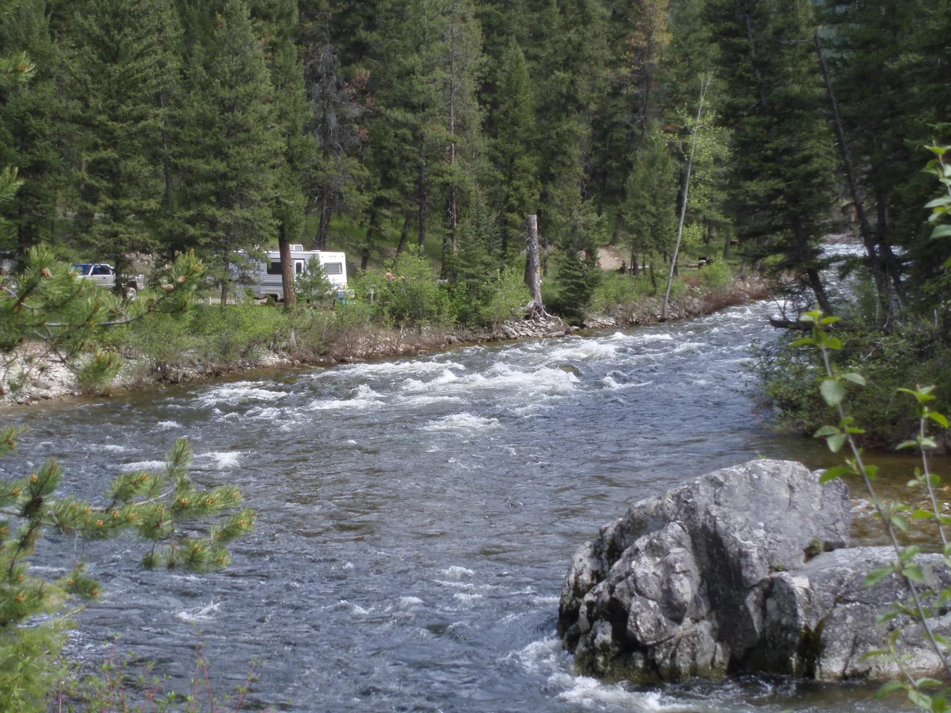
Developed campgrounds operate throughout the forest from approximately June through September. Grandjean Campground is the most popular in the northern forest, serving as a base for the Grandjean-area trails. Anderson Ranch area campgrounds offer water-adjacent sites on the reservoir.
Dispersed camping is widely available throughout the national forest. Common summer fire restrictions apply across much of the central Idaho forest during July, August, and September. Check current restrictions with the Boise National Forest before building any campfire.
When to Visit
June through October for most hiking. High-country routes in the Trinity Mountains and the Grandjean area are typically accessible from late June. Lower canyon and river routes can be hiked from May and often into November.
Summer temperatures in the lower elevation canyons can be hot (90-plus degrees in July and August). High-elevation routes offer relief. Fire season is a significant consideration in this forest, given the surrounding dry terrain and the frequent lightning ignitions common in July and August.
Getting There
From Boise, Highway 21 (the Ponderosa Pine Scenic Byway) is the primary route to the northern forest. Garden Valley and Lowman are the main gateway communities on this corridor. Banks-Lowman Road branches off Highway 55 and provides access to the South Fork Boise River corridor.
From Mountain Home, Highway 20 leads east toward the Anderson Ranch area and provides access to the eastern and southern portions of the forest.
Practical Tips
Fire closures are common in summer and can affect trail access with little warning. Monitor InciWeb and the Boise National Forest website for current closures. Check conditions before every trip.
Cell service is limited in most of the forest. Download offline maps and file a trip plan with a friend or family member before heading into remote areas.
Summer temperatures in the Boise River canyons can be extreme. Carry more water than you think you need on lower-elevation routes in July and August. Individual water needs vary significantly based on temperature and exertion.
Planning Your Trip
The Boise National Forest supervisor's office is in Boise. Ranger districts include Garden Valley, Mountain Home, and Emmett. Contact the relevant ranger district for current trail conditions, fire restrictions, and road closures.
Understanding the differences between national forests and national parks is useful context for Boise visitors: the forest offers significantly more flexibility for dispersed camping, off-highway vehicle use, and other activities than a comparable national park.