White River National Forest is the most visited national forest in the United States, and it's not hard to see why. Stretching across 2.3 million acres of the Colorado Rockies, the forest contains 10 ski resorts, eight designated wilderness areas, over 2,500 miles of trails, and some of the most recognizable mountain scenery in North America. The Maroon Bells alone draw hundreds of thousands of visitors each summer. Aspen and Vail sit within the forest boundaries. Interstate 70 cuts through the heart of it, which means you can be standing at a trailhead less than two hours after leaving Denver International Airport.
The forest was established in 1891 as one of the country's first forest reserves. Today it draws roughly 12 million visitors per year, more than Yellowstone and Yosemite combined. That popularity comes with trade-offs (permits, crowds, and limited parking at popular spots), but the sheer quality and variety of terrain here is hard to match anywhere else in the lower 48.
Why White River Stands Out
The numbers tell part of the story. White River National Forest spans portions of 10 Colorado counties and ranges from roughly 7,000 feet in the valley floors to over 14,000 feet at the summits of its highest peaks. The forest includes several fourteeners (peaks above 14,000 feet), including Castle Peak (14,265 feet), the highest point in the Elk Mountains, and Mount of the Holy Cross (14,005 feet), one of Colorado's most storied summits.
Then there are the wilderness areas. Eight of them, totaling over 750,000 acres: the Maroon Bells-Snowmass Wilderness, Eagles Nest Wilderness, Holy Cross Wilderness (home to Mystic Island Lake), Flat Tops Wilderness, Hunter-Fryingpan Wilderness, Collegiate Peaks Wilderness (partial), Ptarmigan Peak Wilderness, and the Raggeds Wilderness. These are places where motorized vehicles and mountain bikes are banned, where trails follow elk migration routes through old-growth spruce forests, and where you can hike for days without crossing a road.
The ski resorts are another defining feature. Vail, Beaver Creek, Breckenridge, Keystone, Copper Mountain, Arapahoe Basin, Aspen Mountain, Aspen Highlands, Buttermilk, and Snowmass all operate on White River National Forest land under special use permits. In winter, these resorts attract skiers from around the world. In summer, many of them convert to mountain biking, hiking, and scenic gondola operations. The infrastructure that supports skiing (lodging, restaurants, shuttle systems) also makes the forest more accessible to summer visitors than most national forests.
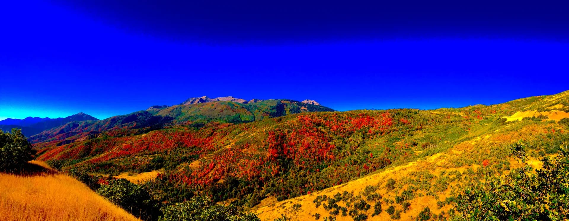
And then there are the Maroon Bells. Two 14,000-foot peaks (Maroon Peak at 14,156 feet and North Maroon Peak at 14,014 feet) with a distinctive pyramid shape and layers of deep red mudstone that glow at sunrise and sunset. They are frequently called the most photographed mountains in North America, and the view from Maroon Lake is one of those rare landscapes that actually lives up to the hype.
Best Trails in White River National Forest
With over 2,500 miles of trail, narrowing it down is a challenge. Here are four that represent the range of what this forest offers.
Hanging Lake
The signature hike. This 3-mile out-and-back (full trail guide) in Glenwood Canyon climbs 1,200 feet through a steep, rocky corridor to reach a travertine lake perched on a cliff ledge. The lake is fed by waterfalls cascading over moss-covered rock, and the turquoise water is stunningly clear. A short spur trail leads to Spouting Rock, where water shoots directly out of the cliff face. The catch: a timed entry permit ($12 per person) is required year-round, and the number of visitors per day is strictly capped. Book well in advance through VisitGlenwood.com. Dogs, swimming, and wading are all prohibited. The permit system has genuinely improved the experience here. Before the limits went into effect, the trail was being trampled to the point of ecological damage.
Maroon Bells Scenic Loop
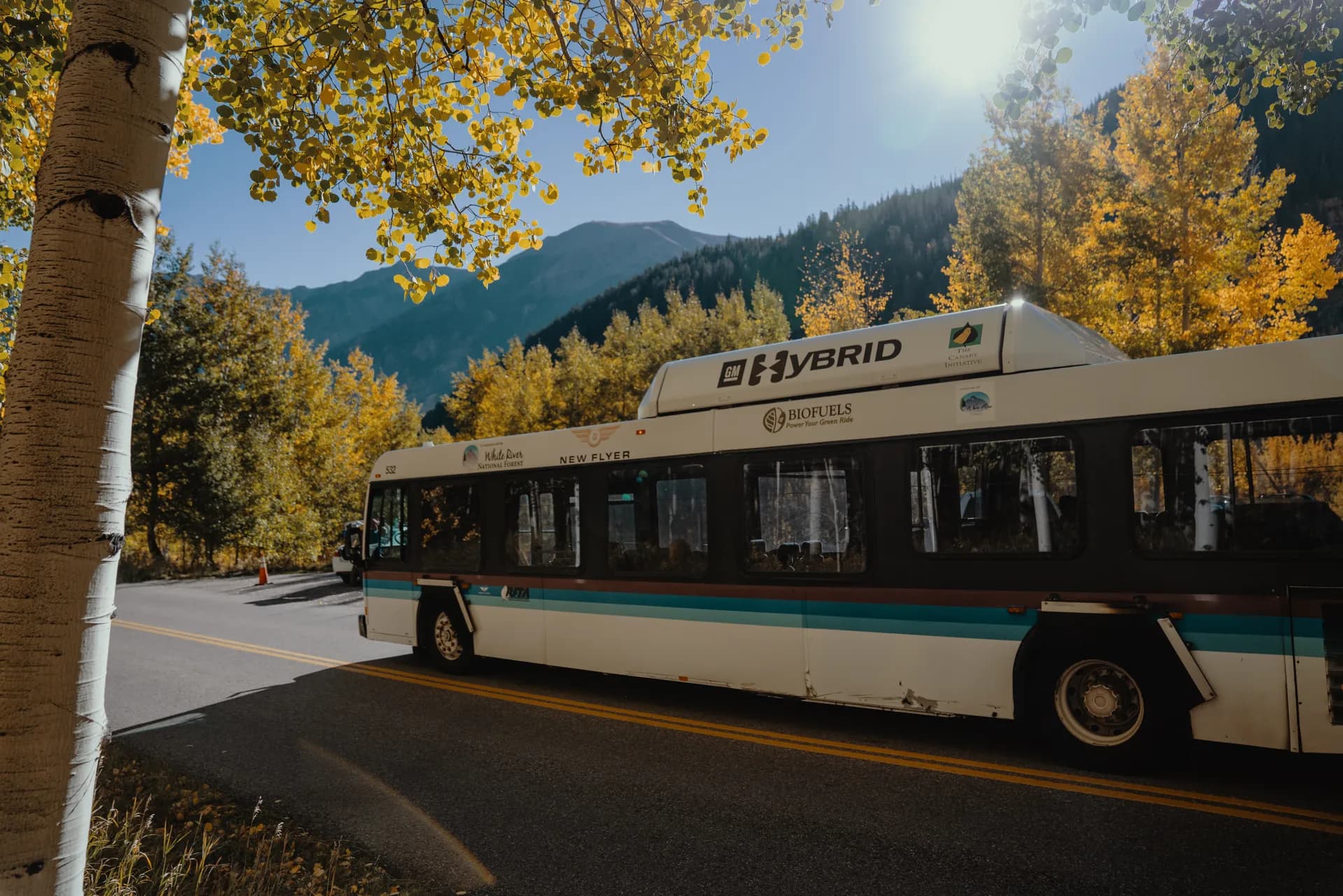
For the easiest access to one of Colorado's greatest views, this 1.8-mile loop around Maroon Lake delivers. The trail is relatively flat (about 200 feet of total elevation change), well-maintained, and accessible to hikers of all ability levels. The classic postcard view of the Maroon Bells reflected in the lake comes within the first quarter mile. From mid-June through mid-October, private vehicles are restricted on Maroon Creek Road, and a shuttle reservation ($16 per adult) is required. The shuttle runs from Aspen Highlands, and the ride takes about 15 minutes. Go early in the morning for the calmest water and best reflections.
Booth Falls
A local favorite in Vail that doesn't require a permit or a shuttle. This 4.4-mile out-and-back gains about 1,100 feet as it climbs from a residential trailhead in East Vail to a 60-foot waterfall tucked into the Eagles Nest Wilderness. The trail passes through aspen groves and pine forest, with views of the Gore Range opening up as you gain elevation. The falls are most impressive in June and early July during snowmelt. Dogs are allowed on leash. The trailhead is right off the I-70 frontage road, making this one of the most accessible wilderness hikes along the highway corridor.
Grizzly Lake
For a bigger day in the backcountry, Grizzly Lake delivers an 8-mile out-and-back with 2,000 feet of elevation gain in the Maroon Bells-Snowmass Wilderness. The trail starts near the ghost town of Independence (on Highway 82 between Aspen and Independence Pass, also the starting point for the Lost Man Loop) and climbs through wildflower meadows and dense spruce forest to an alpine lake surrounded by 13,000-foot ridgelines. The meadows along the lower trail are exceptional in late July, with columbine, paintbrush, and lupine in full bloom. This trail sees a fraction of the traffic compared to Maroon Bells or Hanging Lake, and the payoff is just as striking.
Permits and Passes
White River's permit system has expanded significantly in recent years, driven by the sheer volume of visitors. Here's what you need to know.
National Forest Day Pass: Required at most developed trailheads and recreation sites. Costs $5 per day. The America the Beautiful Interagency Pass ($80 per year) also works. You can buy passes at ranger stations, visitor centers, and some local outfitters.
Maroon Bells Shuttle Reservation: From mid-June through mid-October, private vehicles cannot drive to Maroon Lake between 8 AM and 5 PM. You must take the RFTA shuttle from Aspen Highlands. Reservations cost $16 per adult and $8 for children. Book through Recreation.gov or the RFTA website. Some walk-up spots may be available, but don't count on it during peak season. If you arrive before 8 AM or after 5 PM, you can drive yourself (with a day pass), but parking at Maroon Lake is extremely limited.
Hanging Lake Permit: A timed entry permit is required year-round for the Hanging Lake Trail. Permits cost $12 per person and are sold through VisitGlenwood.com. Slots are available in 15-minute intervals throughout the day, and the total number of daily visitors is capped. Permits for summer weekends sell out weeks in advance. Book as early as you can.
Wilderness Regulations: No specific wilderness permit is currently required for day hiking in most White River wilderness areas (unlike some Colorado forests), but group size limits apply (typically 15 people or fewer, and 10 or fewer in the Maroon Bells-Snowmass Wilderness). Campfires are banned above treeline and in many popular camping areas. Check specific wilderness regulations before your trip.
Camping
White River has over 40 developed campgrounds, plus extensive dispersed camping opportunities on forest roads.
Silver Bell Campground sits along the Crystal River near the Maroon Bells area. It has 29 sites at $29 per night, reservable through Recreation.gov. The campground has vault toilets and potable water. It's a good base for exploring the Maroon Bells, Crystal Mill, and the trails south of Aspen.
Gore Creek Campground is just east of Vail along I-70. The 25 sites ($32 per night) sit among spruce trees along Gore Creek, and the campground serves as a convenient base for hiking Booth Falls, Pitkin Lake, and other trails in the Eagles Nest Wilderness. Reservations are strongly recommended for summer weekends.
Difficult Campground is the largest of the bunch, with 47 sites at $33 per night, located along the Roaring Fork River about 4 miles south of Aspen. Despite the name, it's easy to reach (paved road access off Highway 82). The campground is popular with families and serves as a base for rafting, fishing, and Aspen-area hiking, including the Conundrum Hot Springs trail. Open from May through October, it has flush toilets and potable water.
Silver Bar Campground is a tiny, first-come-first-served campground with just 4 sites at $24 per night. It's quiet, shaded, and ideal if you prefer a more secluded spot. No reservations accepted.
For dispersed camping (a camping permit is not required for dispersed sites, but check current fire restrictions), look along forest roads in the Eagle, Holy Cross, and Flat Tops ranger districts. Popular areas include the roads south of Red Cliff and along Yeoman Park Road near the Flat Tops. Dispersed camping is free, but you must camp at least 100 feet from water and roads, and campfire restrictions are frequently in effect during summer.
When to Visit
June through October is the primary hiking and camping season, but timing matters more here than in lower-elevation forests.
June: Many high-altitude trails are still snow-covered. Lower elevation trails (Hanging Lake, Booth Falls) are accessible and waterfalls are at peak volume. Independence Pass (Highway 82 between Leadville and Aspen) typically opens in late May, but snow can linger along higher trails well into June. This is a good month for valley-floor hikes and waterfall chasing.
July: The sweet spot begins. Most trails are snow-free by mid-July. Wildflowers peak in the high country from mid-July through early August. Afternoon thunderstorms are common above treeline, so plan to start early and be below exposed ridges by noon. Temperatures in the valleys reach the 70s and 80s, while alpine zones stay in the 50s and 60s.
August: Prime conditions continue. Trail traffic is at its highest. Maroon Bells shuttle and Hanging Lake permits are the hardest to get this month. The wildflower display shifts from peak bloom to late-season varieties. Thunderstorm risk remains.
September: The best month for many hikers. Aspen groves across the forest turn brilliant gold, usually peaking in the last two weeks of September. Crowds drop after Labor Day. Weather is generally stable and dry, though cold fronts can bring early snow at higher elevations. Nights get cold (30s and 40s at elevation).
October: Fall colors may linger into early October. Independence Pass closes for winter, usually in late October or early November. Some campgrounds close after Labor Day, others by early October. Higher trails can receive significant snow. This is a shoulder season that rewards flexibility and a close eye on weather forecasts.
Winter (November through May): The ski resorts take center stage. Backcountry skiing and snowshoeing are popular in the wilderness areas, but avalanche danger is a serious consideration. Check the Colorado Avalanche Information Center forecasts before heading into the backcountry.
Getting There from Denver
Denver is the primary gateway, and the drive is straightforward. Take I-70 westbound from Denver. The highway climbs through the Eisenhower Tunnel (the highest point on the interstate system at 11,158 feet) and drops into Summit County. From Denver to Vail is about 100 miles and takes roughly 1 hour 45 minutes without traffic.
That "without traffic" qualifier matters. I-70 on Friday evenings and Sunday afternoons during ski season (and increasingly during summer weekends) is one of the most congested stretches of highway in the mountain West. Traffic from Denver to the Eisenhower Tunnel can double or triple your drive time. Strategies that work: leave Denver before 7 AM on Saturdays, or plan to travel midweek. The CDOT website and the COtrip app provide real-time traffic updates.
To reach Aspen from Denver, continue on I-70 to Glenwood Springs (about 160 miles, 2.5 hours), then take Highway 82 south to Aspen (another 42 miles, about an hour). In summer, you can also take Independence Pass (Highway 82) from Leadville, which is shorter in distance but slower and involves driving over a 12,095-foot mountain pass. The pass road is narrow, winding, and not recommended for RVs or trailers.
Eagle County Regional Airport (EGE) near Vail and Aspen/Pitkin County Airport (ASE) offer commercial flights, primarily during ski season. In summer, flight options are more limited but still available from several major cities.
Practical Tips
Altitude: This is the single biggest factor that catches visitors off guard. Most trailheads in White River sit between 8,000 and 10,000 feet, and trails can climb well above 12,000 feet. If you're coming from sea level, spend at least one night at elevation before attempting a strenuous hike. Symptoms of altitude sickness (headache, nausea, fatigue) are common above 8,000 feet. Drink plenty of water, avoid alcohol the first day, and don't push through symptoms.
Lightning: Afternoon thunderstorms are a near-daily occurrence in the Colorado Rockies from late June through August, especially above treeline. The standard rule: start early, summit by noon, and be below treeline before the storms build. Lightning above 12,000 feet on an exposed ridge is genuinely life-threatening.
Water: The dry mountain air dehydrates you faster than you expect. Carry at least 2 to 3 liters per person for day hikes. For longer hikes, bring a water filter. Streams and lakes in the backcountry are generally reliable water sources but should always be treated.
Wildlife: Black bears are active throughout the forest from spring through fall. Use bear-proof containers or hang food at least 100 feet from camp. Moose are increasingly common in the willows along streams and in the Flat Tops area. Give them a wide berth (at least 50 feet). Unlike deer, moose are unpredictable and can be aggressive, especially cows with calves.
Cell service: Coverage exists in the towns (Vail, Aspen, Glenwood Springs) but drops off quickly once you leave the highway corridor. Most trailheads and wilderness areas have no service. Download offline maps and share your itinerary with someone before heading out.
Leave No Trace: With 12 million visitors a year, the impact on this forest is immense. Pack out all trash (including orange peels and apple cores, which take months to decompose at elevation). Stay on established trails. Camp on durable surfaces. The alpine tundra above treeline is especially fragile and can take decades to recover from a single footprint off-trail.
White River National Forest is Colorado's outdoor recreation backbone. It has the famous names (Vail, Aspen, Maroon Bells) and the crowds that come with them, but it also has 750,000 acres of designated wilderness where you can find real solitude if you're willing to walk past the first mile. Plan your permits early, watch the weather, and respect the altitude. Utah's Uinta-Wasatch-Cache National Forest is the closest comparable Rocky Mountain forest for visitors approaching from Salt Lake City, with similar alpine lake terrain and high-altitude hiking. For anyone new to national forest land, our national forests vs. national parks guide explains why Rocky Mountain National Park and White River operate under different rules despite sharing the same geography. The mountains here are as beautiful as anywhere on the continent, and they don't care how fit you think you are.