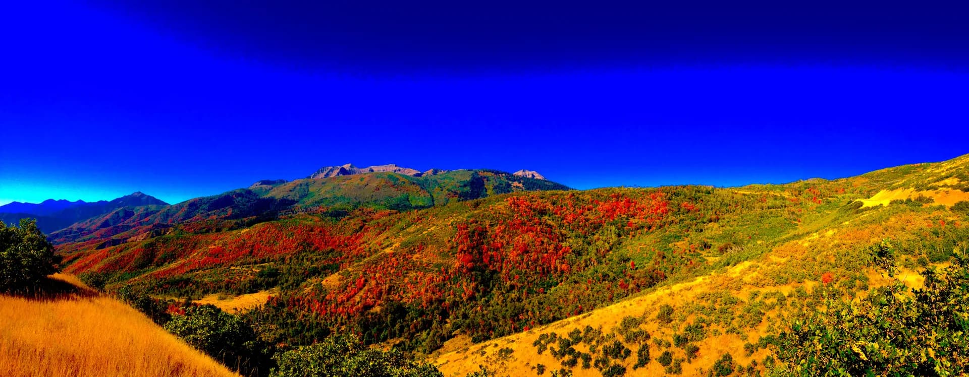
Pike and San Isabel National Forests form Colorado's Fourteener forest, spanning from the urban edge of Colorado Springs west to the Sawatch Range above Leadville. Combined, they cover more than 2.2 million acres and include six peaks above 14,000 feet, the Arkansas River headwaters, the Collegiate Peaks Wilderness, the Lost Creek Wilderness, and some of the most accessible high-country terrain in the southern Rockies. If you want to stand on the highest point in the Rocky Mountains, this is where you go.
The two forests are managed as a single administrative unit by the USDA Forest Service (Pikes Peak Ranger District, South Park Ranger District, San Carlos Ranger District, Salida Ranger District, and others), but they cover different landscapes. The Pike National Forest portion dominates the eastern slope near Colorado Springs and the South Park basin. San Isabel extends west and south through the Sawatch and Sangre de Cristo ranges, encompassing Mount Elbert, Mount Massive, and the Collegiate Peaks. Together they serve millions of visitors annually from Colorado's Front Range.
Why Pike-San Isabel Stands Out
Three things separate this forest system from the rest of Colorado's public lands.
First, the Fourteener density. Six summits above 14,000 feet lie within the forest boundary or on its margins: Mount Elbert (14,440 ft), Mount Massive (14,428 ft), Mount Harvard (14,420 ft), Mount Yale (14,196 ft), Mount Princeton (14,197 ft), and Pikes Peak (14,115 ft). The Collegiate Peaks Wilderness alone contains four of these, allowing experienced hikers to link objectives over multiple days from camps near the trailheads on Clear Creek Road or the Cottonwood Creek drainage. No other national forest in the country concentrates this many Fourteeners in a single administrative unit.
Second, Pikes Peak's accessibility. At 14,115 feet, Pikes Peak is not the tallest Fourteener in Colorado, but it is far and away the most visited mountain in the state and one of the most visited in the country. The Barr Trail from Manitou Springs, the Pikes Peak Highway (a 19-mile toll road from Colorado Springs), and the Pikes Peak Cog Railway (seasonal) all reach the summit. The USFS-managed Summit House at the top has a visitor center, food service, and restrooms at 14,115 feet. Nowhere else in Colorado can you drive your car to the summit of a Fourteener, which makes Pikes Peak the introduction to Colorado's high country for an enormous number of visitors.
Third, the Leadville high country. The city of Leadville sits at 10,152 feet, the highest incorporated city in the United States. It is the basecamp for Mount Elbert and Mount Massive, and the surrounding valley, the Arkansas River headwaters, has an almost surreal quality: an old mining city surrounded by Fourteeners at an elevation where trees grow small and the sky looks different. Twin Lakes and Turquoise Lake, both within a few miles of Leadville, offer high-altitude camping and fishing at nearly 10,000 feet.
Best Trails
The forest's 1,100 trail miles span everything from short lake loops near Leadville to the 13-mile Barr Trail and the exposed Venable-Phantom circuit in the Sangre de Cristo range.
Barr Trail to Pikes Peak
The defining trail in the forest. Barr Trail climbs 7,400 feet in 13 miles from Manitou Springs (6,715 ft) to the summit of Pikes Peak (14,115 ft). It is one of the longest continuously maintained trails to a mountain summit in the United States. Barr Camp at mile 6.5 is a staffed cabin that serves as the natural midpoint, offering bunk beds, meals, tent camping, and a water source. The summit view on a clear day extends from the Kansas plains to the south to the Wyoming border to the north. Most hikers treat this as a two-day trip using Barr Camp as an overnight.
The Crags Trail
A 4-mile out-and-back on the southeast slopes of Pikes Peak that reaches a cluster of dramatic granite spires without the full-summit commitment. The Crags sits on the south side of the peak near Cripple Creek, and the trailhead is accessible via Forest Road 383 from Woodland Park. The granite formations at the top are visually striking, and the moderate elevation gain (900 feet) makes this a good option for families or hikers acclimatizing before attempting a Fourteener.
Mount Elbert via South Ridge
The South Ridge route on Mount Elbert is considered the most moderate of the standard Fourteener routes in the forest, which is a relative statement given the 4,700-foot elevation gain over 9.5 miles. Elbert is the highest peak in the Rocky Mountains at 14,440 feet. The South Ridge is well-marked, gains elevation steadily rather than aggressively, and offers long views of Twin Lakes and the Arkansas Valley throughout the ascent. Start before dawn; the summit is fully exposed and afternoon storms arrive reliably.
Venable-Phantom Circuit
A 12-mile loop in the Sangre de Cristo Wilderness near Westcliffe that crosses two alpine passes (Venable Pass at 13,300 ft and Phantom Terrace) with views toward the Crestone group. This is one of the more remote trails in the forest, requiring a long drive from Colorado Springs on county roads. The wildflower meadows below the passes are outstanding in July. It's a full-day commitment with 3,200 feet of gain for experienced hikers only.
Permits and Passes
Pike and San Isabel National Forests do not require a standard recreation pass at most trailheads, unlike forests in the Pacific Northwest that use the Northwest Forest Pass system. The major permit cost is the Pikes Peak Summit Recreation Fee ($15/person walk-up as of 2026), collected at the summit, not the trailhead. Verify current pricing before your visit.
Campground fees apply at developed sites: Turquoise Lake campgrounds run $25-30 per night, Twin Lakes and Collegiate Peaks campgrounds around $25 per night. All can be reserved through Recreation.gov for summer weekends, and popular sites fill weeks in advance.
Wilderness areas within the forest (Lost Creek, Collegiate Peaks, Buffalo Peaks, Holy Cross section) have no permit system as of 2026. Group size limits and Leave No Trace practices apply. Our camping permit guide covers national forest camping basics, and the America the Beautiful Pass applies to some day-use fees across the forest system.
Camping
Turquoise Lake Campgrounds sit at about 9,900 feet just west of Leadville, spread across several loops on the lake's south and west shores. With around 300 total sites across multiple campground units, this is one of the largest high-altitude campground complexes in Colorado. The lake is scenic, the fishing is good, and the Fourteener trailheads for Elbert and Massive are 20-30 minutes away. Reserve well in advance for summer weekends.
Twin Lakes Campground, at the base of the Mount Elbert corridor, offers 13 sites in a quiet setting near the two glacier-carved lakes south of Leadville. It fills fast given its small size and proximity to the Elbert trailheads. This is the closest developed camping to the South Elbert Trailhead.
Collegiate Peaks Campground near Buena Vista provides 56 sites along Chalk Creek at about 9,000 feet with views of Princeton and Yale to the west. A popular base for peak-baggers working through the Collegiate Peaks and for floaters on the nearby Arkansas River.
Cripple Creek area campgrounds in the Pikes Peak vicinity offer smaller, less-crowded options on the south and west slopes of Pikes Peak, useful for staging an early Barr Trail start from the Crags side.
When to Visit
The high-country season above treeline runs from roughly July through September. Snow clears from most Fourteener routes by early July in typical years, though high snow years can push that into mid-July. By October, early-season snowfall can close high passes and make summit routes dangerous.
The critical daily pattern: afternoon thunderstorms build over Colorado's high peaks almost every day in July and August. This is not a rare event. The standard practice for Fourteener climbers is to start early enough (4-5 AM from a lower trailhead, or earlier from Barr Camp) to reach the summit and clear the exposed ridge before noon. If you're still above treeline at 1 PM when storms are building, the appropriate response is to descend immediately. Lightning on an exposed ridge at 13,000 feet is life-threatening.
Pikes Peak is accessible year-round via the Pikes Peak Highway, subject to road conditions and closures. The highway is typically open for vehicles from May through October, with weather-dependent closures possible at any time.
Lower-elevation trails in the forest, including many trails in Lost Creek Wilderness and around Woodland Park, are accessible from May through October and offer good hiking outside the short alpine window.
Getting There
From Colorado Springs: Manitou Springs, where Barr Trail begins, is 10 miles west of downtown Colorado Springs via US-24. The Pikes Peak Highway toll road starts from Cascade, a few miles from Manitou. Colorado Springs is served by Colorado Springs Airport (COS) with direct flights from Denver, Dallas, Phoenix, and other western cities.
From Denver: The forest's eastern sections near Colorado Springs are about 80 miles south via I-25 (1.5 hours). For Leadville and the Sawatch Range, drive I-70 west to Copper Mountain or Vail, then south on CO-91 through Fremont Pass (about 2 hours total). From the junction at US-24, Leadville is another 15 miles south.
From Leadville: Mount Elbert and Mount Massive trailheads are within 15 miles of town on Halfmoon Creek Road (FR-110). Follow US-24 south from Leadville, turn west on Halfmoon Creek Road, and drive the unpaved road to the trailheads. Standard passenger vehicles can usually manage the road in dry conditions, but high clearance helps.
Practical Tips
Altitude: Leadville is the highest incorporated city in the United States at 10,152 feet. Visitors from sea level may feel the effects of altitude within hours of arriving: headache, fatigue, disrupted sleep. The CDC and wilderness medicine organizations recommend spending at least one to two nights at a moderate elevation before attempting high-altitude exertion. Individual responses to altitude vary considerably, and no acclimatization schedule guarantees a symptom-free experience.
Lightning: Colorado leads the United States in lightning fatalities, and exposed ridges above treeline are the most dangerous terrain. Plan to be off summits and below treeline by noon. Watch for building cumulus clouds to the southwest; storms can develop faster than they look. If you hear thunder, begin descending immediately.
Start times: For any trail above 13,000 feet, an early start is the single most important logistical decision. The most common mistake is starting too late and being caught above treeline when afternoon storms arrive. "Alpine start" means 4-6 AM from the trailhead, or the night before at Barr Camp.
Water sources: Most high-country trails in this forest have seasonal streams and snowmelt sources. A filter or treatment tablets are necessary; all backcountry water sources should be treated. Many trailheads have no potable water. Carry what you need for the first few miles from your vehicle.
For those with a military background or disability, the America the Beautiful Access Pass and Military Annual Pass both waive day-use fees on federal lands and apply to some campground discounts. Understanding Leave No Trace principles is especially important on popular Fourteener trails where off-trail traffic causes lasting damage to fragile alpine tundra. Before any trip above treeline, check current conditions at the USFS Alerts and Closures page and the Colorado Avalanche Information Center for early and late season routes.