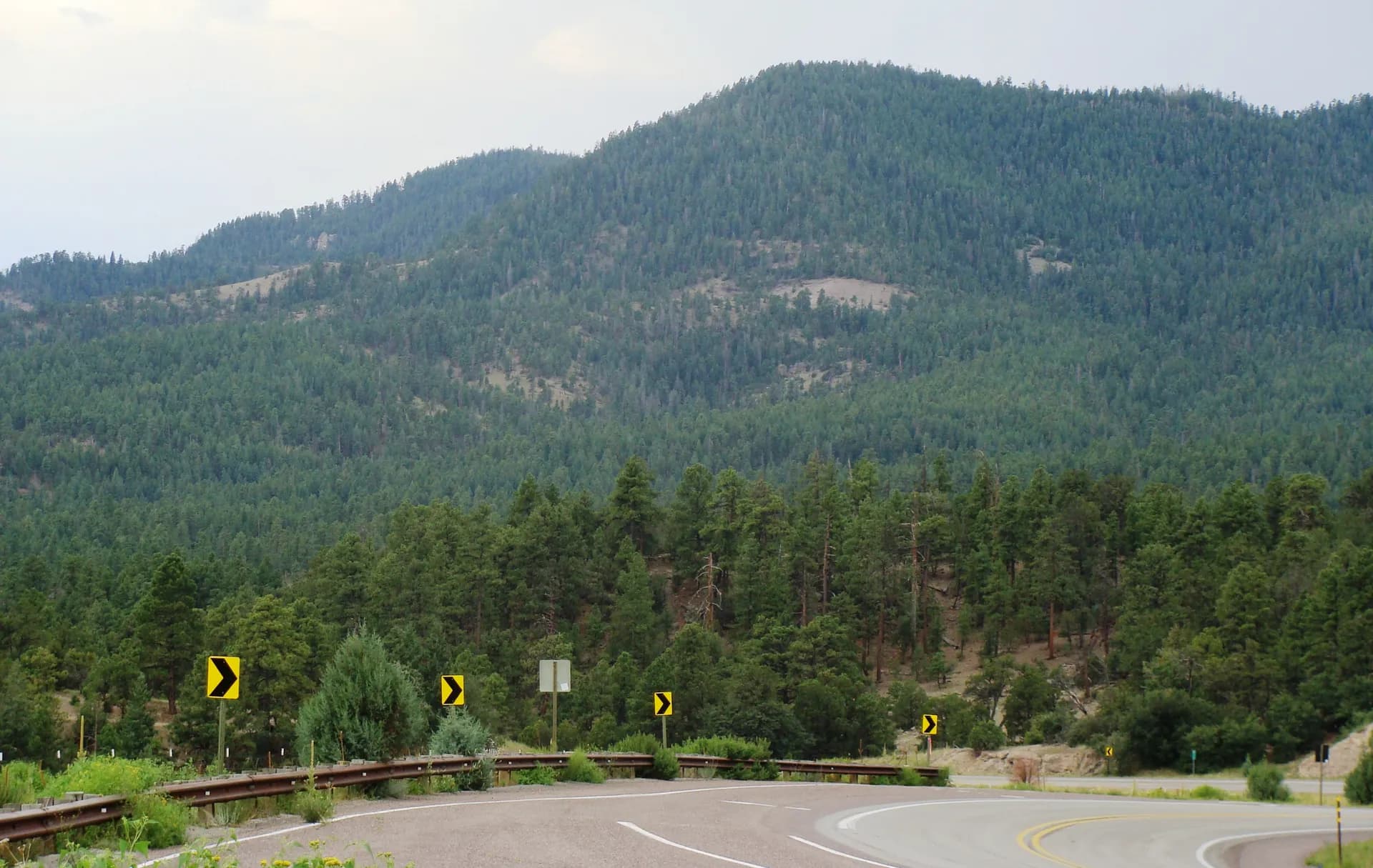
Coconino National Forest
~24 mi from FlagstaffArizona
Complete guide to Coconino National Forest in northern Arizona. Trail recommendations, campgrounds, permits, red rock country, and trip planning resources.
13 min read
AZ · Southwest
7 forest guides within driving distance
Complete guide to Coconino National Forest in northern Arizona. Trail recommendations, campgrounds, permits, red rock country, and trip planning resources.
13 min read
Central Arizona's most accessible high-country escape, surrounding the historic city of Prescott with granite mountains, ponderosa pine forest, and four wilderness areas just 100 miles from Phoenix.
5 min read
Arizona's largest and most visited national forest, spanning 2.9 million acres from the Phoenix metro desert to the Mogollon Rim with seven wilderness areas and world-class saguaro and canyon hiking.
6 min read
The forested plateau north and south of the Grand Canyon, offering ponderosa pine hiking, canyon rim access, and the famous Kaibab deer herd in one of Arizona's most dramatic landscapes.
6 min read
Sitgreaves National Forest spans Arizona's Mogollon Rim country east of Payson, offering ponderosa pine hiking, Show Low Lake, and cool summer refuge in the White Mountains region.
5 min read
Arizona's high-country escape covering 2 million acres of ponderosa pine forest, alpine meadows, and the rugged Blue Range Primitive Area in the White Mountains.
7 min read
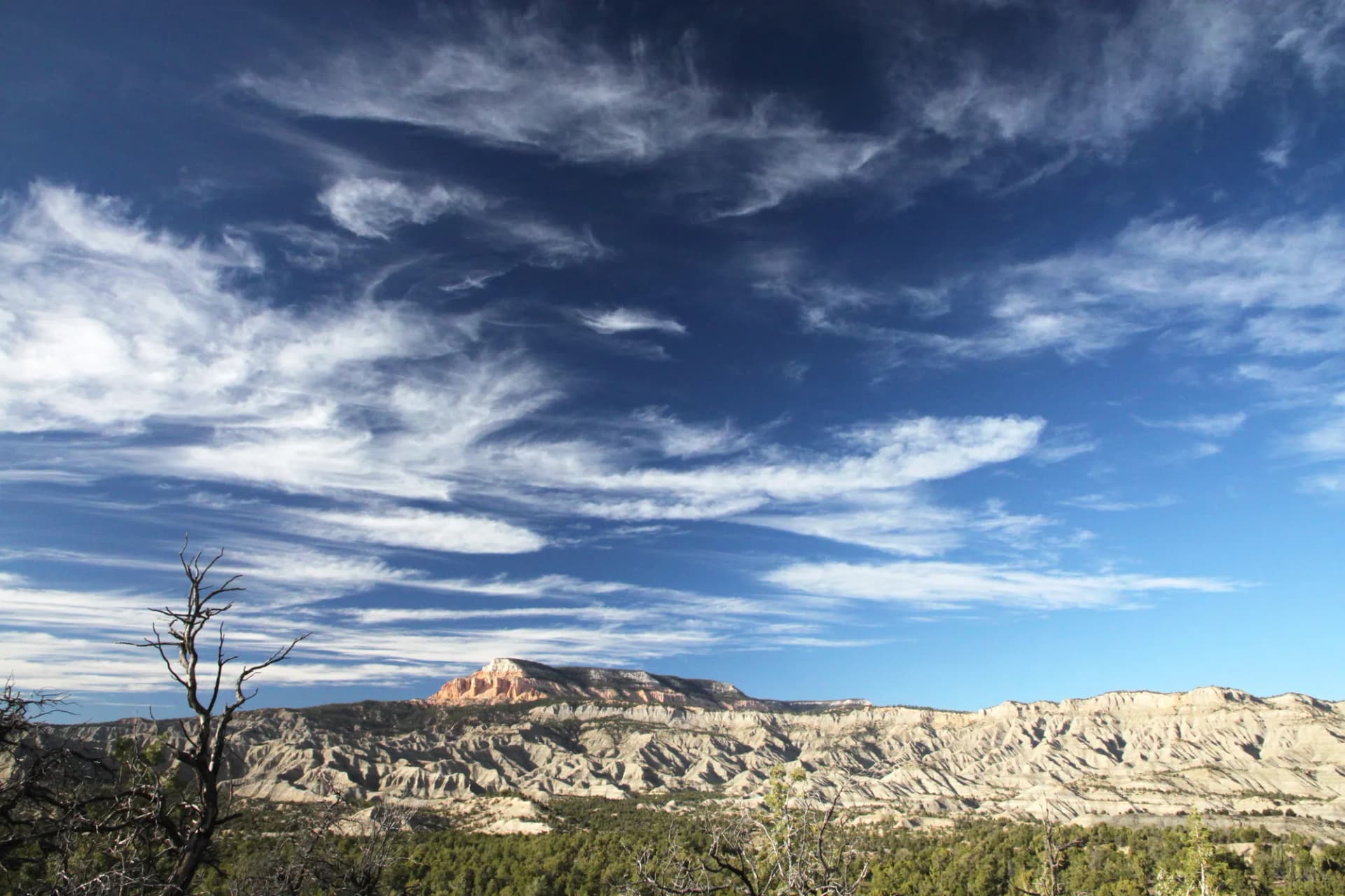
Dixie National Forest covers 1.88 million acres of southern Utah's Colorado Plateau, encompassing the Pink Cliffs, Boulder Mountain, and terrain adjacent to Bryce Canyon and Zion National Parks, one of the most visually striking national forests in the American West.
7 min read
Guide to the Humphreys Peak Trail near Flagstaff, Arizona. A strenuous 10-mile out-and-back to the highest point in Arizona at 12,637 feet.
7 min read
Guide to the West Fork of Oak Creek Trail in Coconino National Forest. A stunning 6.9-mile canyon hike through Arizona's best fall foliage, with 13 creek crossings and towering red rock walls.
10 min read
A 3.8-mile out-and-back through shaded Sterling Canyon in Coconino National Forest, Arizona, to an 80-foot sandstone arch named for aviation pioneer Gerard Vultee, killed in a 1938 crash near Sedona.
6 min read
Guide to the Bear Mountain Trail in Coconino National Forest, Arizona. A strenuous 4.8-mile out-and-back near Sedona with 1,900 feet of gain through red rock terrain, ending at one of the finest panoramic viewpoints in the entire Sedona basin.
8 min read
A strenuous 10.4-mile out-and-back to Wilson Mountain's 7,122-foot summit above Sedona in Coconino National Forest, Arizona, with views of red rock formations, Oak Creek Canyon, and the Verde Valley.
6 min read
Guide to the Boynton Canyon Trail in Coconino National Forest, Arizona. A 6.0-mile out-and-back through a stunning red rock canyon near Sedona, with Sinagua ruins visible in the canyon walls and sweeping views at the canyon's end.
8 min read
Guide to the Cathedral Rock Trail in Sedona, Arizona. A short, steep 1.2-mile scramble to the saddle between Sedona's most iconic red rock spires.
6 min read
Guide to the Bell Rock Pathway in Sedona, Arizona. An easy 3.6-mile hike through classic red rock terrain with views of Bell Rock and Courthouse Butte.
6 min read
A rewarding mesa walk through the Woodchute Wilderness above Jerome, with ponderosa pine and pinyon-juniper terrain and sweeping views of the Verde Valley and red rock country around Sedona.
3 min read
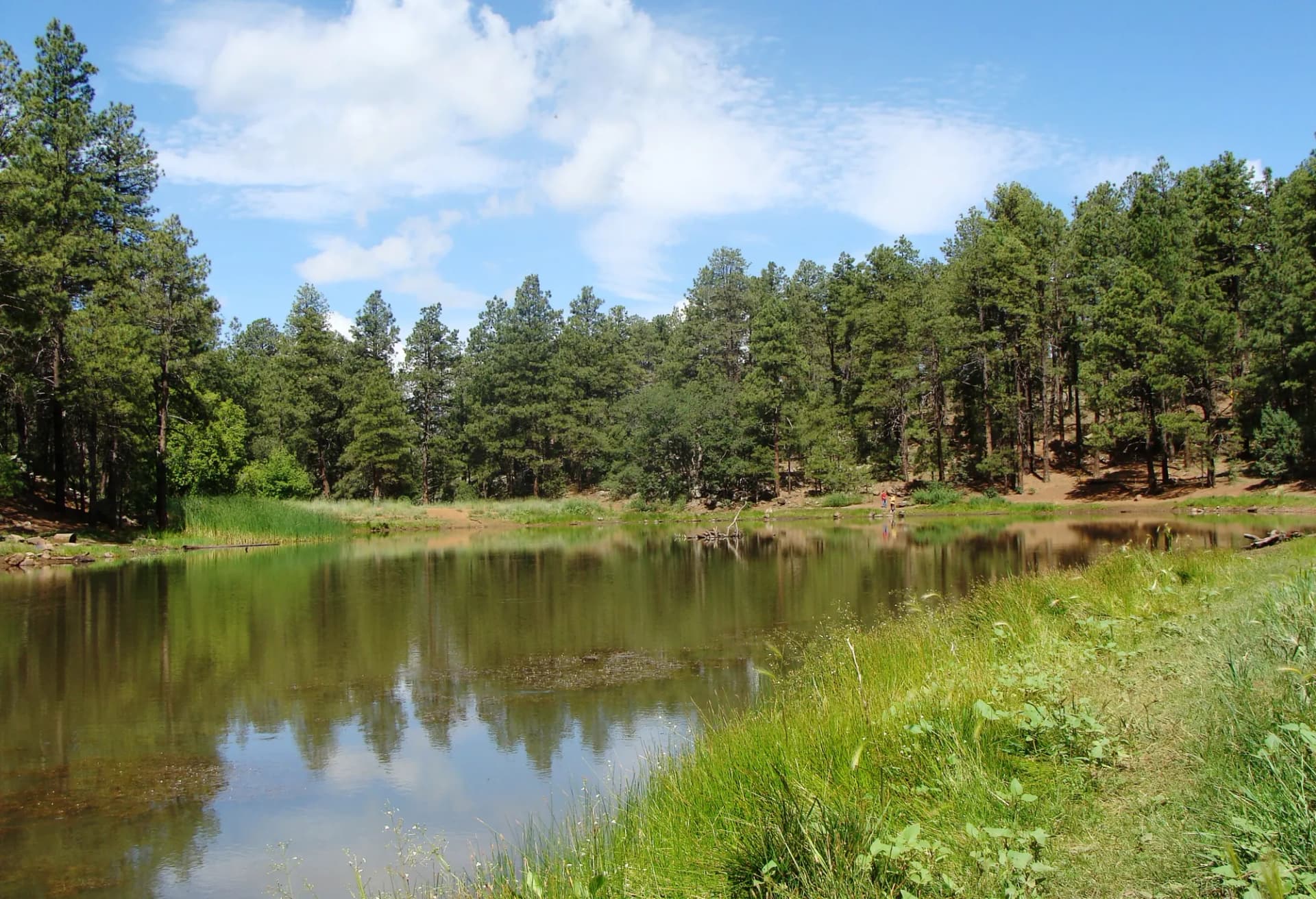
An easy walk around a scenic high-elevation reservoir in the Prescott National Forest, through ponderosa pine and chaparral with fishing access, wildlife viewing, and year-round accessibility.
3 min read
A moderate forest hike along the Blue Ridge in the high-country Tonto National Forest near the Mogollon Rim, combining ponderosa pine terrain with canyon views and a quieter trail experience.
3 min read
A moderate-hard hike along the Verde Rim in the eastern Prescott National Forest, gaining 1,800 feet to dramatic canyon views over the Verde River Valley in one of central Arizona's most scenic corridors.
3 min read
A moderate hike into the Pine Mountain Wilderness in the southern Prescott National Forest, climbing through chaparral and ponderosa pine to a broad wilderness ridge with Verde Valley views.
3 min read
Prescott's most popular short hike, circling the distinctive granite thumb visible from the city on a 1.8-mile loop with ponderosa pine forest and views of Prescott and the surrounding mountains.
4 min read
The signature summit hike of Prescott National Forest, climbing 2,200 feet through chaparral and granite country to panoramic views across central Arizona from one of the state's most storied peaks.
4 min read
A moderate Mogollon Rim hike along the historic Highline Trail to Horton Springs, passing through ponderosa pine forest to a perennial spring in one of the Tonto's most pleasant high-country settings.
4 min read
A pleasant easy-moderate hike along the historic Senator Highway corridor in the Bradshaw Mountains, through ponderosa pine and mixed chaparral terrain connecting the mining history of the Prescott backcountry.
3 min read
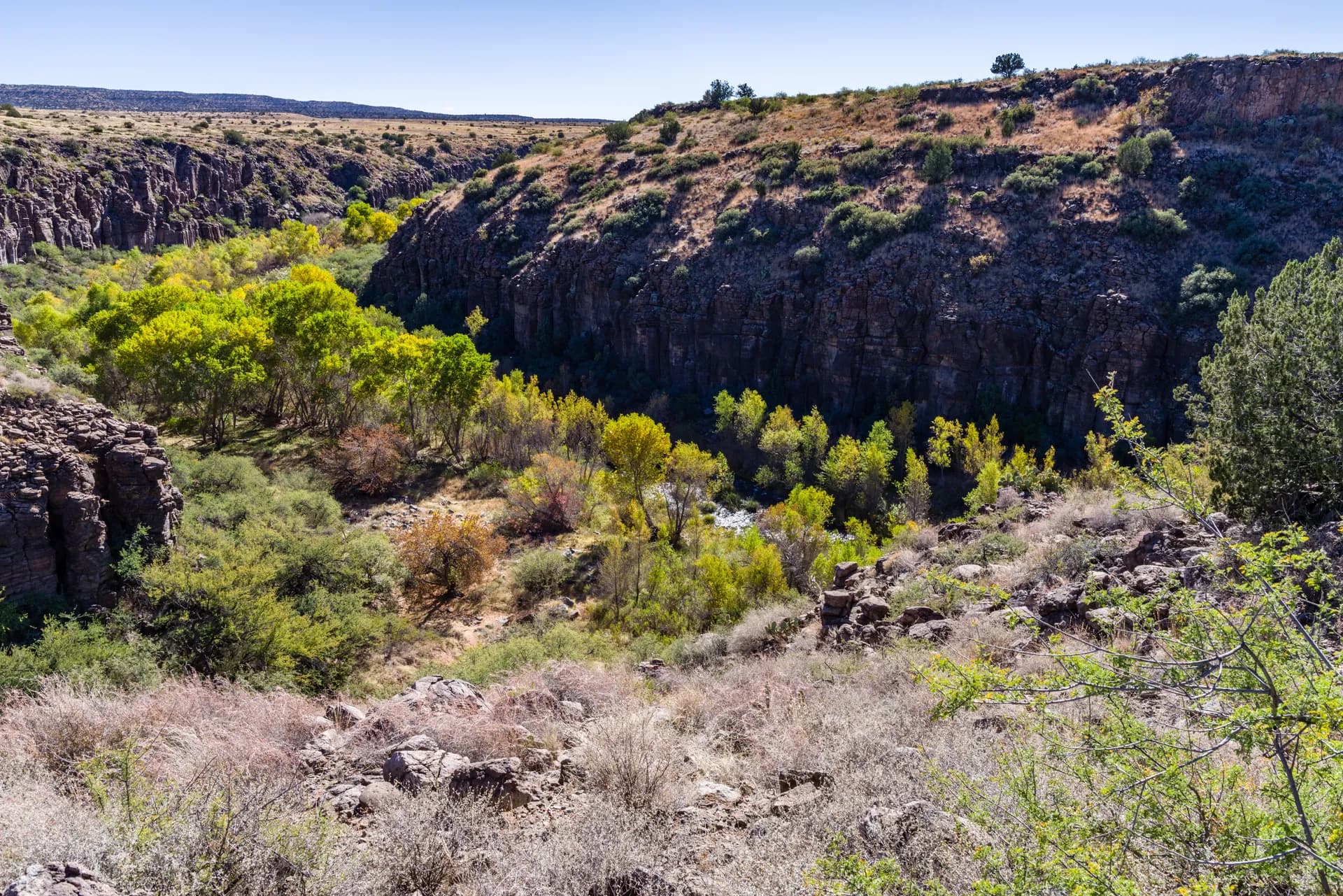
An easy-moderate creek canyon hike in the Prescott National Forest's Bradshaw Mountains, following a seasonal stream through riparian habitat with cottonwood, sycamore, and good wildlife diversity.
3 min read
The most demanding day hike in central Arizona, climbing 3,500 feet through the rugged Mazatzal Wilderness to one of the most remote and rewarding summit views in the state.
4 min read
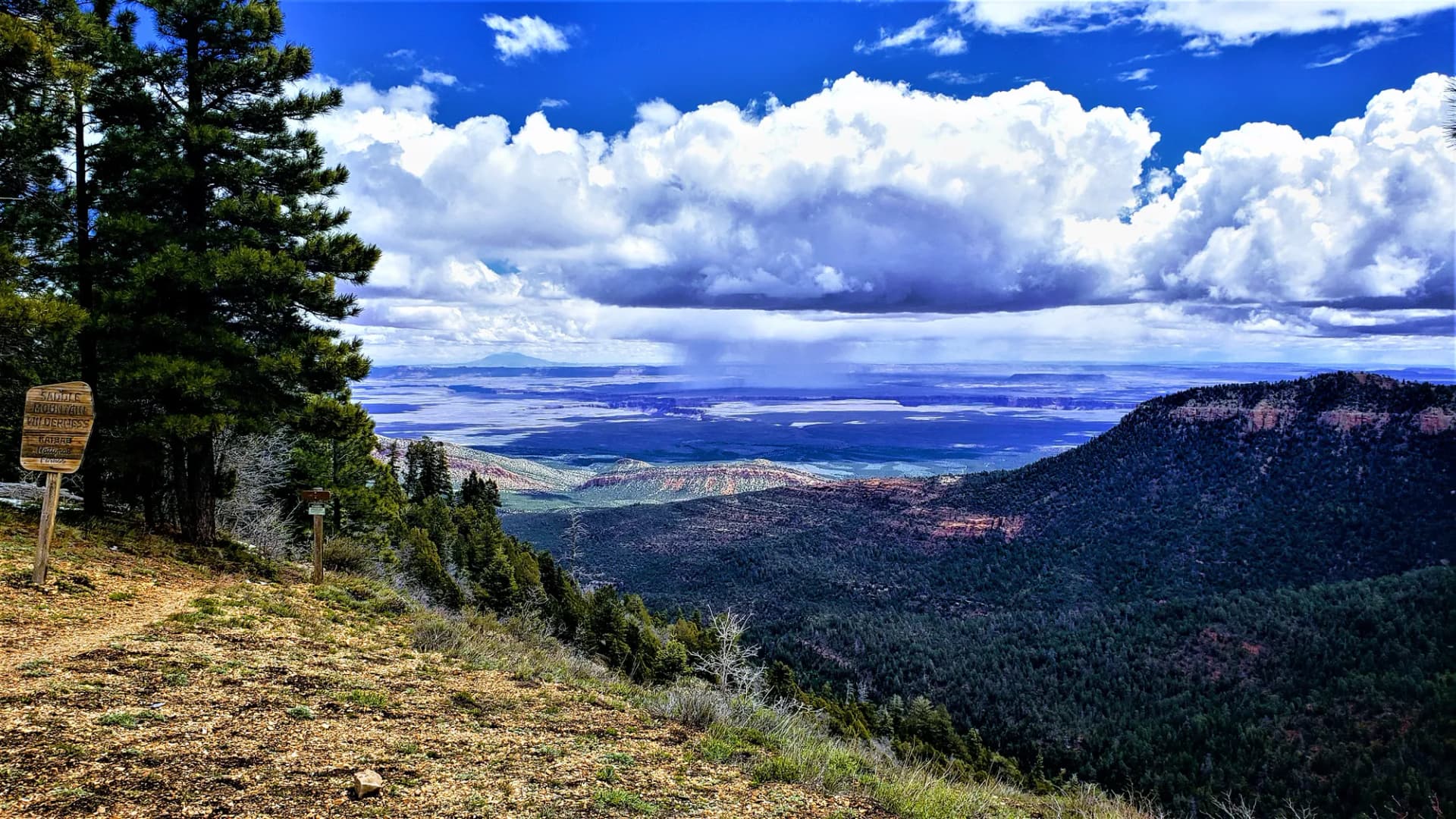
An easy-moderate walk along the southern escarpment of the Kaibab Plateau on the South Kaibab unit, with views south across the Coconino Plateau and ponderosa pine forest terrain.
3 min read
A moderately demanding wilderness trail in the Mazatzal Mountains, climbing 2,100 feet through dramatic canyon terrain to the crest of the Mazatzal Wilderness with expansive views.
4 min read
A moderate desert hike in the Cave Creek area north of Phoenix, climbing through saguaro cactus and chaparral terrain with canyon views and good wildlife habitat.
4 min read
A moderate hike into the remote drainage country north of the Grand Canyon's North Rim, descending through ponderosa pine forest toward canyon terrain with creek crossings and good wildlife habitat.
4 min read
A moderate forest hike to a canyon viewpoint on the eastern edge of the Kaibab Plateau, passing through ponderosa pine and meadow terrain with good wildlife visibility.
3 min read