The Apache-Sitgreaves National Forest is Arizona's cool-weather counterpart to the Sonoran Desert. Sprawling across 2 million acres of the White Mountains and the adjacent Blue Range, it sits at elevations mostly above 6,000 feet, which means ponderosa pine forests, aspen groves, and summer temperatures 30 degrees cooler than the Phoenix valley. For hikers escaping the low-desert heat, this is the destination that doesn't require leaving the state.
Two forests were administratively combined under a single supervisor — the Apache on the west and the Sitgreaves on the east — but on the ground they function as one cohesive landscape. The forest spans from the White Mountains plateau east into the Mogollon Rim country and south into the rugged Blue Range, Arizona's wildest terrain. The elevation range spans roughly 3,500 to 11,400 feet, which creates remarkable ecological variety: desert grassland transitions to oak woodland, then ponderosa pine, then spruce-fir forest and alpine meadow at the highest peaks.
Arizona heat considerations apply differently here than in most of the state. Summer temperatures at elevation rarely exceed the low 80s, but afternoon thunderstorms during monsoon season (July through September) are near-daily events. Many hikers carry 2-3 liters of water even on shorter trails, and starting early to be off exposed ridges before midday storms build is the standard practice. Flash flood risk in canyon drainages increases significantly during monsoon, so check weather forecasts and current conditions at checking-conditions-before-you-go before heading into the Blue Range.
Why Apache-Sitgreaves Stands Out
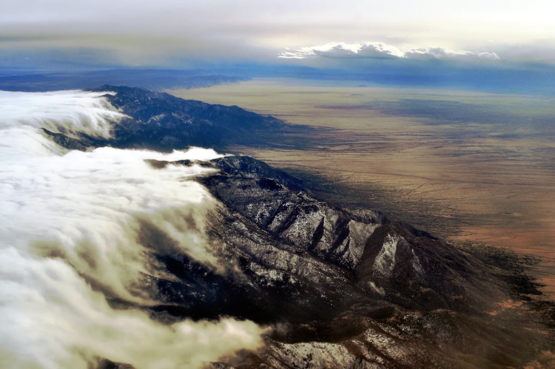
Genuine Alpine Terrain in Arizona. Most visitors don't associate Arizona with alpine landscapes, but Apache-Sitgreaves contains Mount Baldy at 11,409 feet, Escudilla Mountain at 10,912 feet, and dozens of peaks above 9,000 feet. The high country supports spruce-fir forest and open meadows that look more like Colorado than the Sonoran Desert. The Escudilla Mountain Trail and the Mount Baldy Trail are the showcase routes.
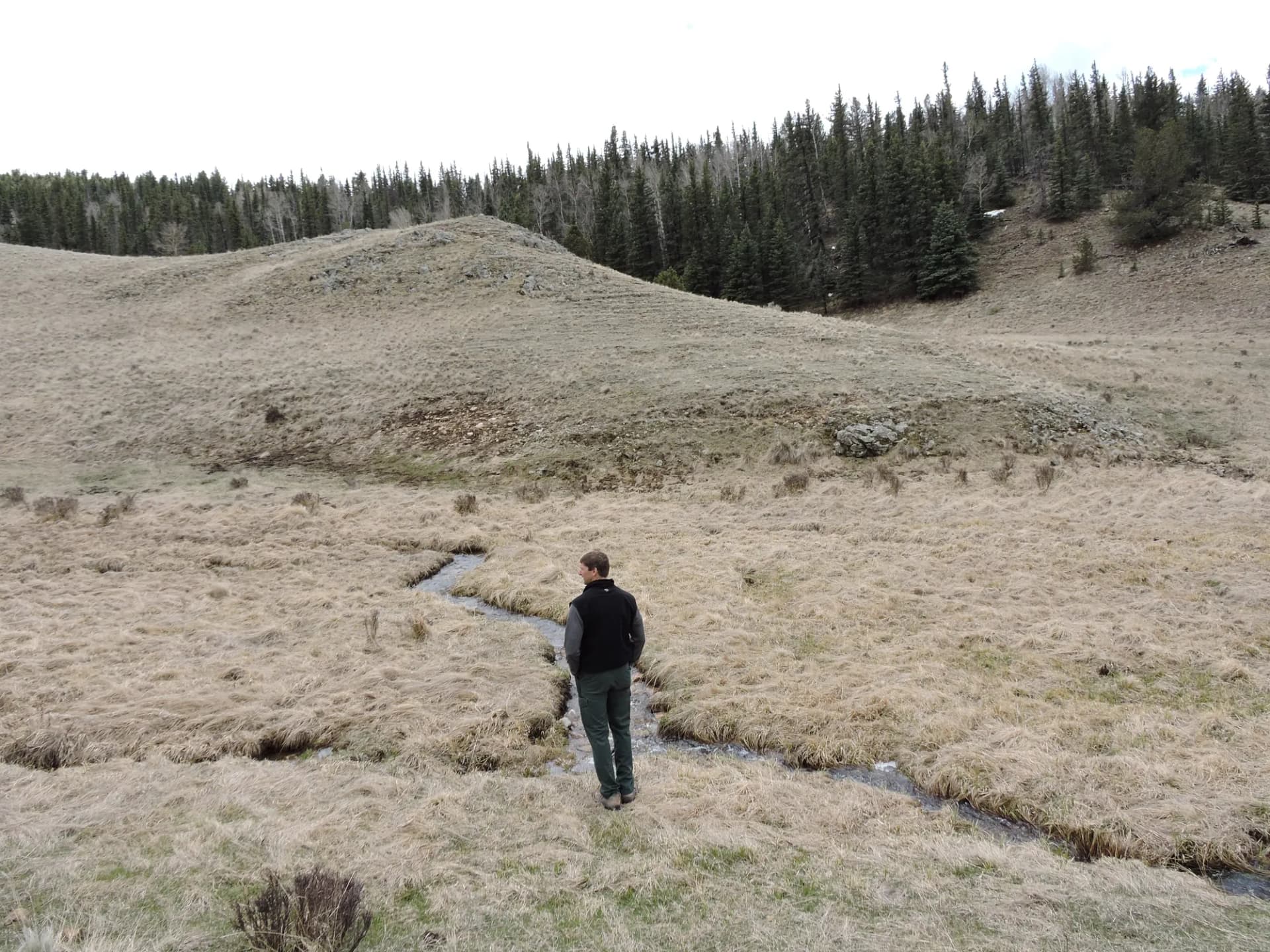
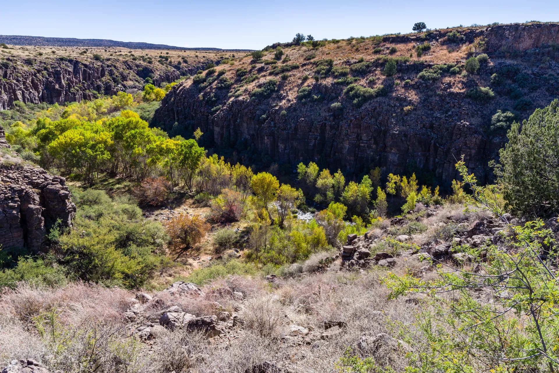
The Blue Range Primitive Area. Designated in 1933 as the nation's first primitive area and still managed with minimal development, the Blue Range covers nearly 200,000 acres of canyon-and-ridge country in the southern portion of the forest. No motorized vehicles, no maintained facilities, limited trail signage. It requires self-sufficiency and rewards those who arrive prepared with remote canyon scenery, perennial streams, and solitude. The Blue Range Primitive Area Loop offers a taste of this territory.
World-Class Fishing Lakes. Big Lake and Sunrise Lake in the White Mountains are high-elevation fishing destinations with rainbow, brown, and brook trout. The Big Lake Loop circles one of Arizona's premier mountain lakes. Luna Lake near Alpine offers a quieter alternative. Fishing licenses are required; verify current regulations with Arizona Game and Fish.
Best Trails in Apache-Sitgreaves
The forest's signature hike is the Mount Baldy Trail, a 14-mile round-trip to the shoulder of Arizona's second-highest peak. Note that the true summit is on White Mountain Apache Tribal land and requires a separate recreation permit from the tribe. The USFS trail ends just below the summit at around 11,300 feet, which still delivers expansive views across eastern Arizona and into New Mexico.
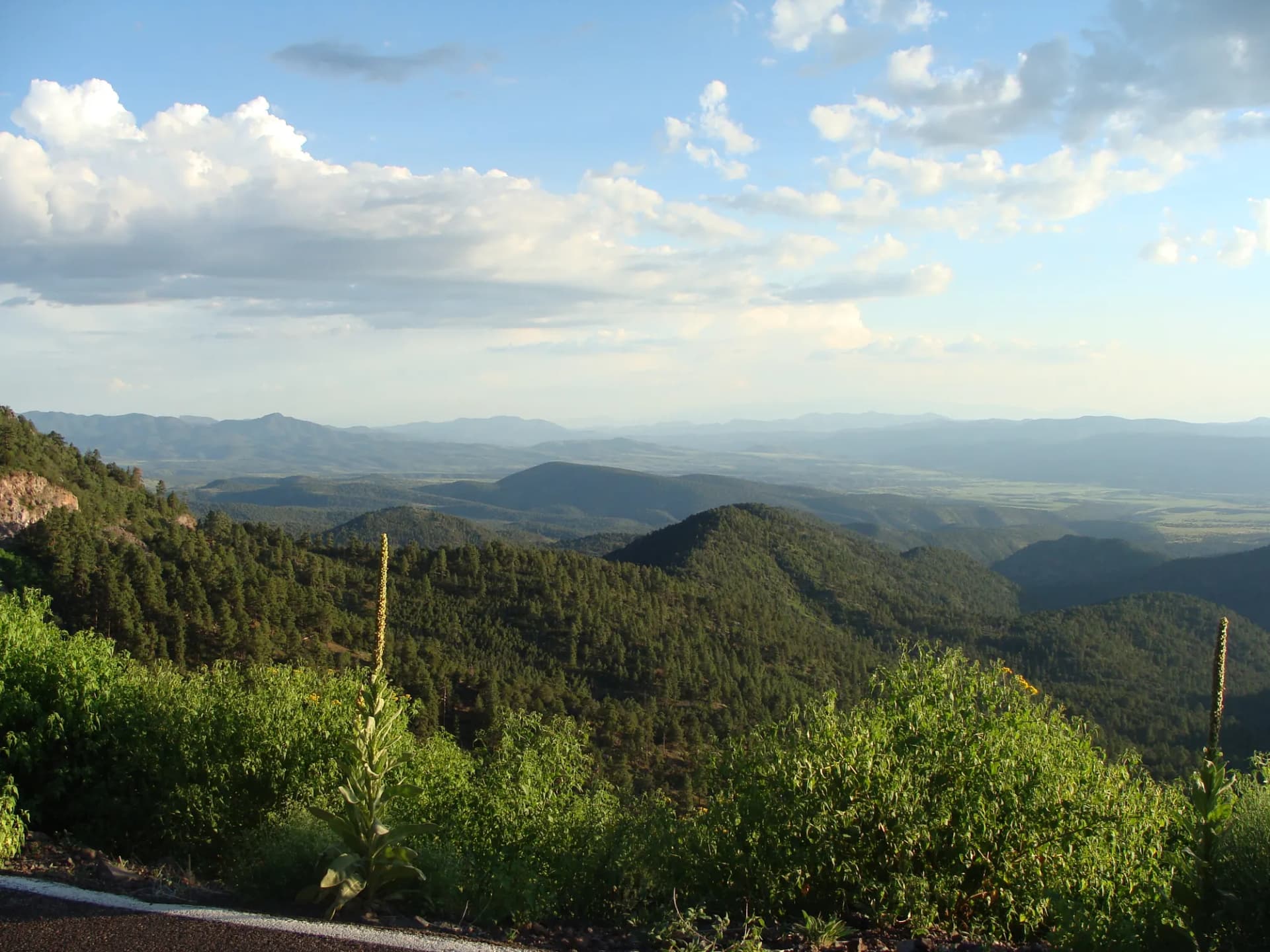
Escudilla Mountain Trail is a more accessible alpine hike, gaining 1,900 feet in 6 miles to the fire lookout tower atop Escudilla, Arizona's third-highest peak. On clear days you can see the Mogollon Rim, the White Mountains, and well into New Mexico. The hike passes through old-growth Engelmann spruce and aspen groves.
East Baldy Trail provides an alternative approach to the Baldy massif from the east side, passing through open meadows and subalpine forest. Slightly less trafficked than the main Mount Baldy Trail, it's a good choice for those wanting a quieter experience.
For easier terrain, the White Mountain Trail is a long-distance trail system connecting communities across the White Mountains, with accessible sections suitable for day hikes, mountain biking, and equestrian use.
Permits and Passes
Most trailheads in the Apache-Sitgreaves have no day-use fee as of 2026. Some developed recreation areas around Big Lake and other high-use campgrounds collect a day-use fee during peak season. Always verify current fee schedules at the ranger district before your trip.
The America the Beautiful Pass covers entrance and day-use fees at most USFS sites. Veterans may qualify for a free lifetime Access Pass. See veteran benefits in national forests for details.
For the Mount Baldy summit area specifically, you'll need a White Mountain Apache Tribe recreation permit in addition to any USFS requirements. Purchase these in advance from the tribe's recreation department. As of 2026, the fee is modest but verify current pricing before your trip.
Review the national forest camping permit guide for current reservation procedures.
Camping
Big Lake Campground is the most popular developed option, with 120 sites near the lakeshore, flush toilets, and access to fishing. Reservations open months in advance and fill quickly for summer weekends. Luna Lake Campground near Alpine offers a quieter alternative with good fishing access.
Hannagan Meadow Campground sits at 9,100 feet in the heart of the forest, with simple sites and access to trails into the Blue Range. First-come, first-served and often available even when lower campgrounds are full.
Dispersed camping is permitted throughout much of the forest outside designated campgrounds. The standard rules apply: 14-night maximum stay, minimum 300 feet from water, pack out all trash. Campfire restrictions change frequently during dry periods, particularly in summer.
When to Visit
May through October is the primary season. Snow closes high-elevation roads and trails into late May in heavy winters. The weather window from June to early July, before monsoon season, brings warm days, dry conditions, and the best visibility from high peaks.
July through September brings monsoon thunderstorms almost daily. Trails remain accessible but plan to start early and be off exposed summits and ridgelines by early afternoon. Lightning is a genuine hazard above treeline. Flash flooding can close canyon trails; Blue Range routes are particularly susceptible.
Fall (September through October) brings aspen color, cooler temperatures, and hunting season. Deer and elk hunters use the forest heavily in October; wearing blaze orange is advisable on forest roads and trails during rifle season.
Winter brings cross-country skiing, snowshoeing, and snowmobile access in designated areas. Sunrise Ski Resort on tribal land offers downhill skiing nearby.
Getting There
From Phoenix: Take US-87 north to Payson, then AZ-260 east through Show Low. The total drive is approximately 3 hours to Show Low, with trailheads scattered throughout the forest east and south of town.
From Tucson: I-10 east to Willcox, then AZ-191 north through Safford and up the Coronado Trail Scenic Byway to the forest. This route takes about 3.5 hours and passes through the eastern edge of the Coronado National Forest.
The Coronado Trail (US-191) is one of America's most scenic highways, but it's extremely winding and not suitable for large RVs or trailers. Allow extra time if taking this route.
Practical Tips
Afternoon thunderstorms are predictable from July through September. Check morning weather forecasts and plan to complete exposed hikes by noon. Lightning is the most serious summer hazard in the high country.
Cell service is limited to non-existent throughout most of the forest. Download offline maps before leaving town. A physical topo map and compass remain useful here.
Many hikers carry 2-3 liters of water even on shorter high-country trails. Although temperatures are cooler than the low desert, the dry air at altitude causes rapid dehydration, and water sources may require treatment. Individual needs vary.
Bears are present throughout the forest. Store food and scented items properly. Review bear canister requirements before planning overnight trips.
Planning Your Trip
Show Low, Pinetop-Lakeside, and Springerville all offer lodging, grocery stores, and fuel. Alpine and Eager are smaller communities with limited services but closer to the Blue Range and southern trailheads.
Check current conditions and any closures with the Springerville or Alpine ranger districts before heading out. Fire restrictions can close the forest to all campfires and sometimes restrict access entirely during extreme drought years.
For Leave No Trace practices specific to high-use alpine terrain, review the Leave No Trace 7 principles guide. The high-elevation meadows around Baldy and Escudilla are particularly fragile and show wear from off-trail travel.
Anglers should verify that fishing licenses and current Arizona Game and Fish regulations are in order before heading to Big Lake or other fishing destinations. The White Mountain lakes are popular and heavily stocked.