Sitgreaves National Forest covers roughly 818,000 acres of Arizona's Mogollon Rim country, stretching east from the rim escarpment through the White Mountain communities and into the Blue Range country near the New Mexico border. The forest is administered together with the adjacent Apache National Forest as the combined Apache-Sitgreaves unit, and the two sections together form one of Arizona's primary highland recreation destinations.
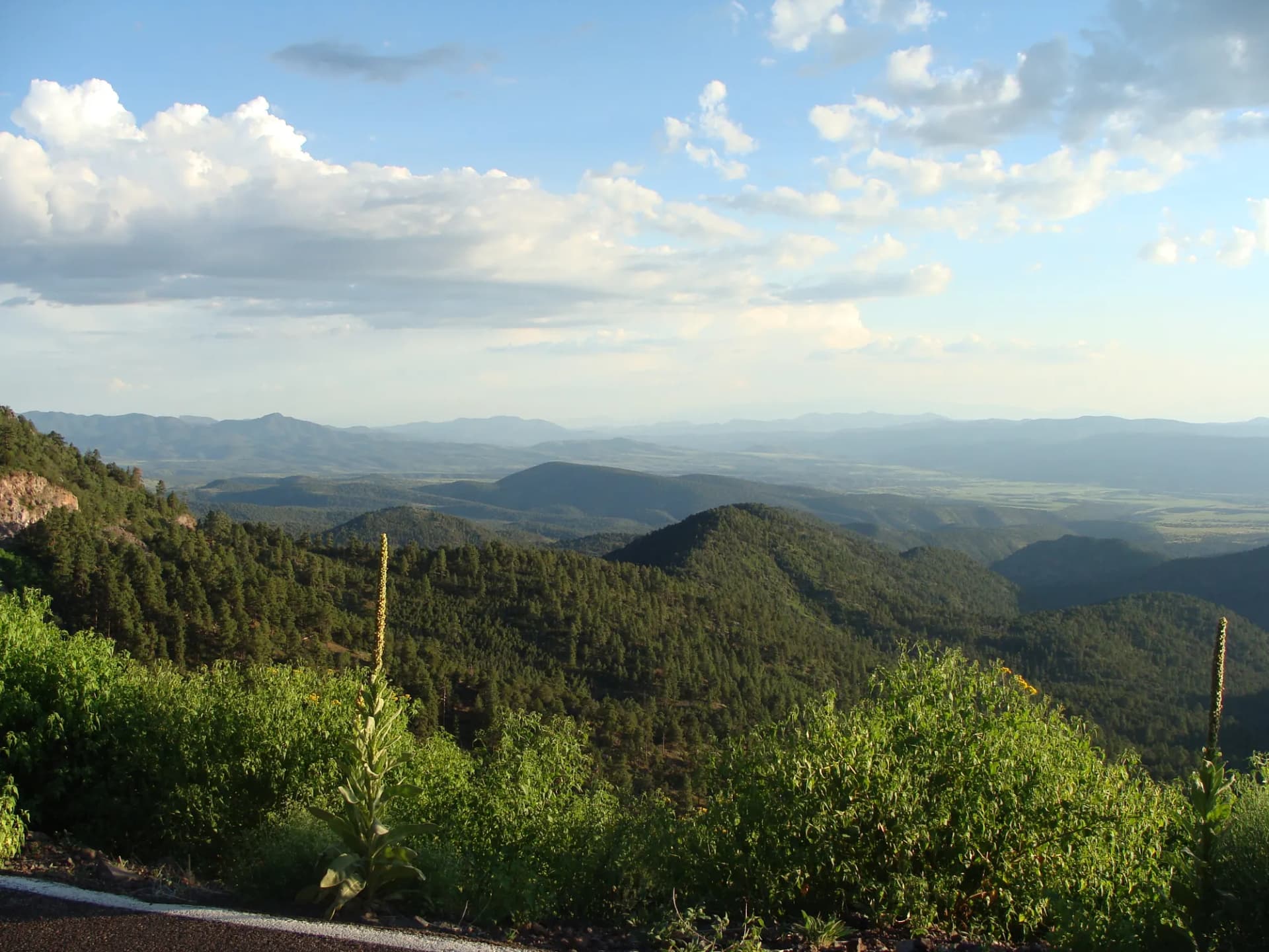
The Sitgreaves section sits primarily on the Colorado Plateau, where ponderosa pine forests cover the broad rim country at elevations between 6,500 and 11,000 feet. This elevation produces summer temperatures 30 to 40 degrees cooler than the Phoenix and Tucson valleys, making the forest a well-established warm-weather escape for Arizona's desert population centers.
Trails
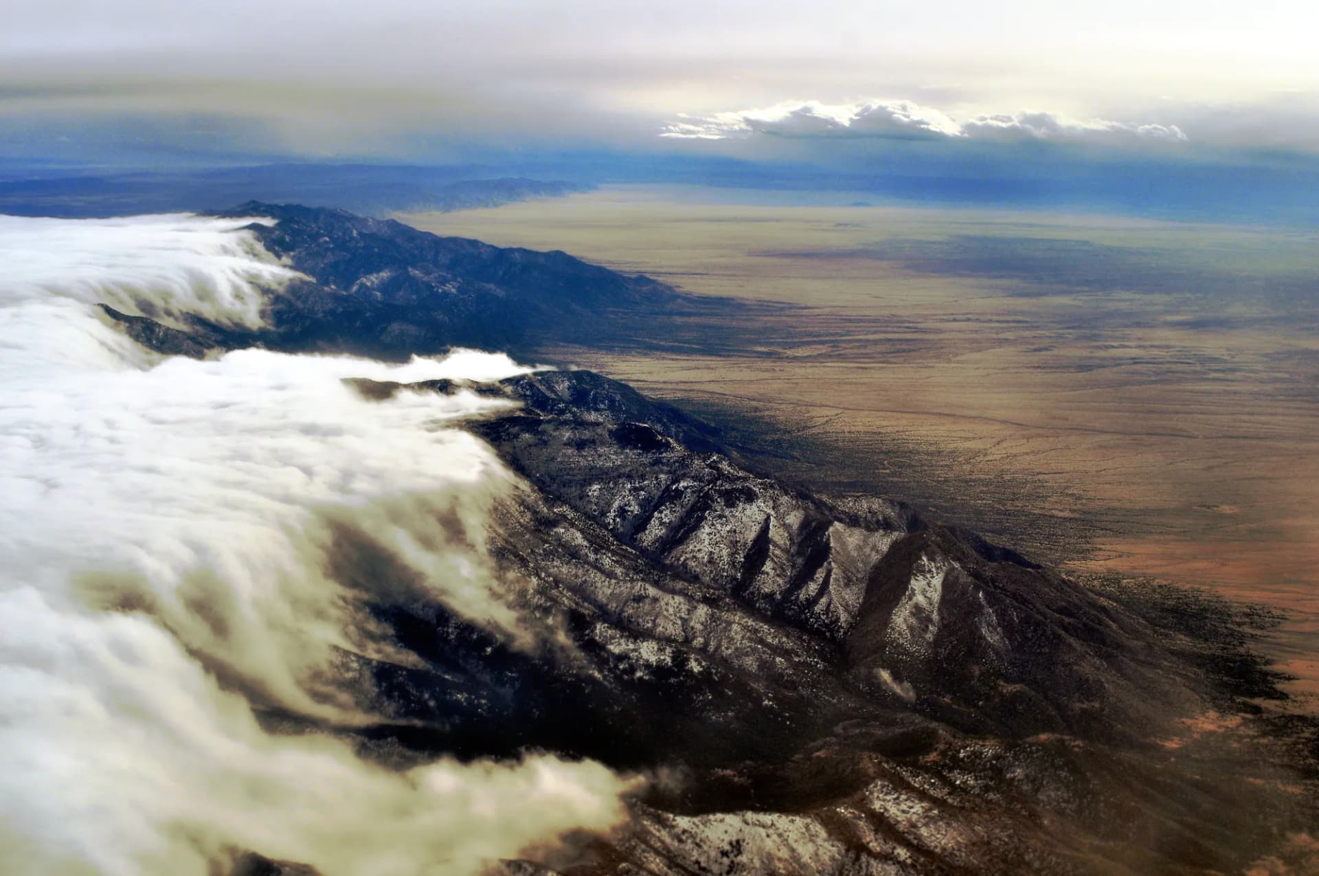
The Mogollon Rim defines the forest's western and northern edge, and the Mogollon Rim Trail runs along the rim's top edge for 14 miles with periodic overlooks dropping into the Tonto Basin and Sonoran Desert country below. The Arizona Trail crosses this section of the rim, connecting to longer trail corridors north and south.
The Blue Range country in the eastern forest, preserved in part as one of the few remaining Primitive Areas in the national forest system, harbors the Blue River Trail along 18 miles of riparian canyon habitat. The Blue Range was the site of the first wolf reintroduction under the Mexican Wolf Recovery Program, and this corridor continues to host wolf pack territories. Follow current USFS and US Fish and Wildlife guidance regarding wolf encounters in this area.
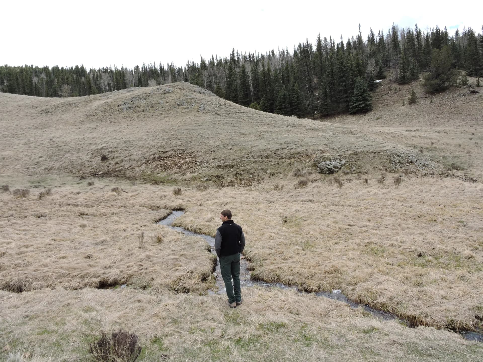
Mount Thomas at 11,420 feet is the highest point accessible by trail in the forest, a strenuous 9-mile round-trip that rewards hikers with panoramic views across both the Sitgreaves and Apache sections. Shorter options include the Soldier Creek Trail and the Pueblo Park Trail, which are more accessible to visitors new to the elevation.
Wildlife
The Sitgreaves section sits within the Mexican wolf recovery zone. Wolves have been documented throughout the Blue Range country since reintroduction efforts began in the late 1990s, and sightings or howling are occasionally reported by visitors. Elk are abundant throughout the forest and are a primary draw for hunters in fall. Mule deer, pronghorn at lower elevations, black bears, and mountain lions are all present. The Apache trout, Arizona's state fish and a threatened species, inhabits the Black River and a handful of tributaries within the forest. Follow current USFS wildlife guidelines when traveling in the backcountry, particularly in the Blue Range area.
Getting There
From Phoenix, take US-60 east to Show Low, approximately 175 miles and about 2.5 hours. Show Low sits at the edge of the forest boundary and serves as the main gateway community. From Flagstaff, take US-40 east to Holbrook, then US-260 south to Show Low, approximately 90 miles and 1.5 hours. The Blue Range country in the eastern section is reached via US-191 south from Alpine, Arizona, approximately 3 hours from Phoenix.
Seasons
Summer (May through September): The primary recreation season. Temperatures are mild at rim elevations. Monsoon season begins in early July and brings afternoon and evening thunderstorms most days; lightning on exposed ridges is a genuine hazard. Plan summit and rim walks for morning completion.
Fall (October through November): Hunting season peaks in October. Aspen groves in the high country turn gold in late September and early October. Roads and trails are generally accessible through October.
Winter: Snow arrives at rim elevations by November and can persist through March. Some forest roads close seasonally. Snowmobiling and cross-country skiing occur in the Show Low and Pinetop areas.
Spring (March through May): Mud season on forest roads. Higher trails may hold snow into May. Wildflowers bloom in lower-elevation meadows from March through May.
Nearby
Show Low (population around 12,000) is the main service hub, with full lodging, dining, and supply options. Pinetop-Lakeside, 15 miles south, is a resort community with additional lodging and restaurants oriented toward the Arizona weekend visitor market. The White Mountain Apache Tribe's Fort Apache Reservation borders the forest to the south and west; Sunrise Park Resort on the reservation offers skiing in winter. Alpine, Arizona, near the eastern forest boundary, is a small mountain town that serves as a gateway for Blue Range access. For dispersed camping rules, review our dispersed camping guide. Practice Leave No Trace principles throughout.
Planning and Resources
No permit is required for day hiking or dispersed camping in Apache-Sitgreaves National Forest (as of 2026). Developed campground fees vary; reservations are available through Recreation.gov for many sites. America the Beautiful passes cover applicable fee sites. Veterans and permanently disabled individuals may qualify for federal discount passes. The Springerville, Show Low, and Alpine Ranger Districts manage different sections of the forest; contact the district serving your destination for current conditions and any active fire restrictions. Wildfire is a significant and recurring concern in this forest; the 2011 Wallow Fire burned over 500,000 acres across the combined Apache-Sitgreaves and adjacent lands, the largest wildfire in Arizona history at that time, and fire management remains a central issue in the forest. Review conditions before you go and check InciWeb for any active fires before any summer visit to the Mogollon Rim country.