The Tonto National Forest is both the largest national forest in Arizona and the most visited in the United States, a fact explained by its position as the backyard wilderness of the Phoenix metropolitan area. With nearly 5 million people living within 90 miles, the Tonto absorbs extraordinary recreational pressure while still containing seven designated wilderness areas, 900 miles of trails, and terrain that ranges from lowland saguaro desert to the pine forests of the Mogollon Rim.
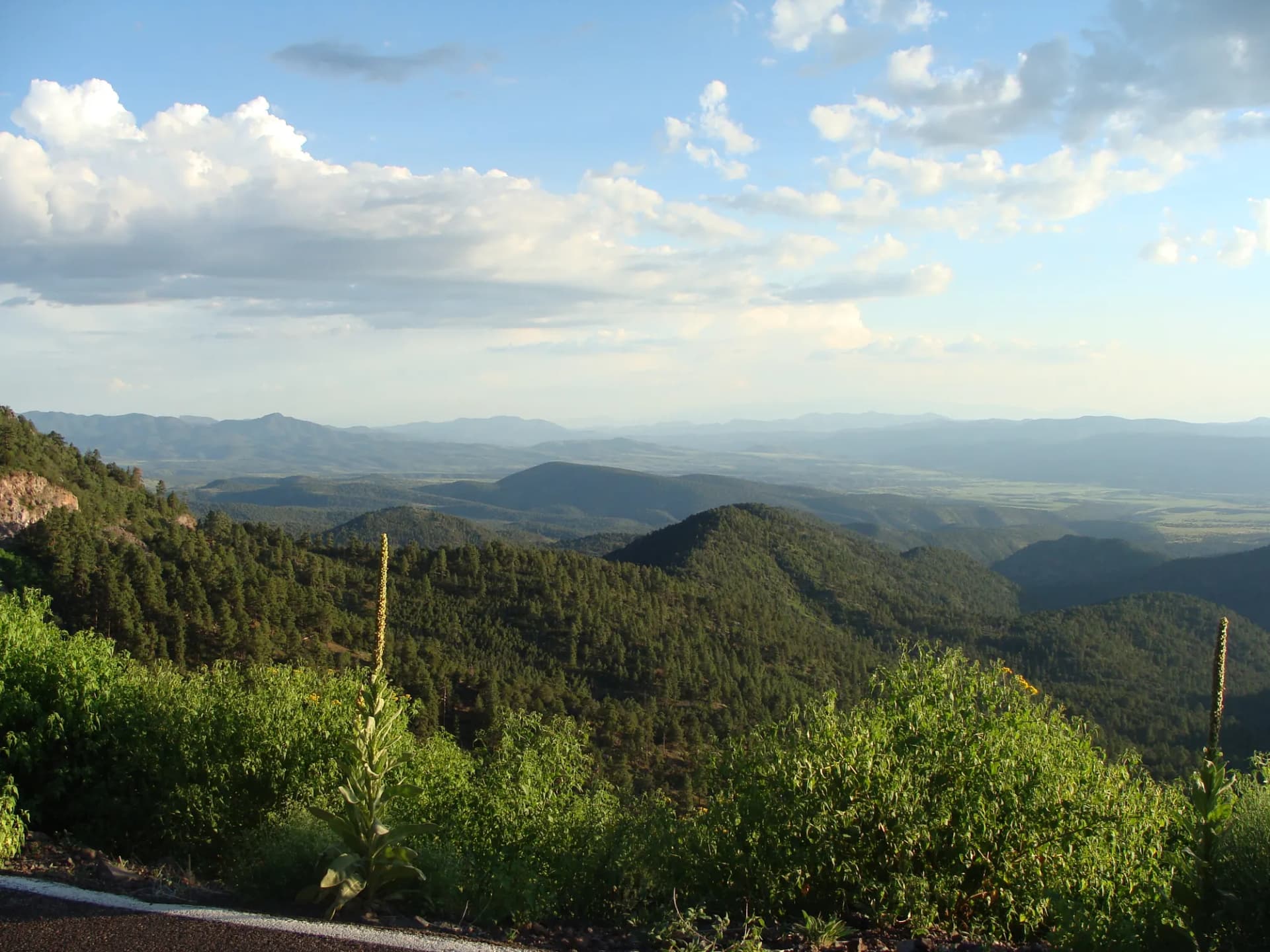
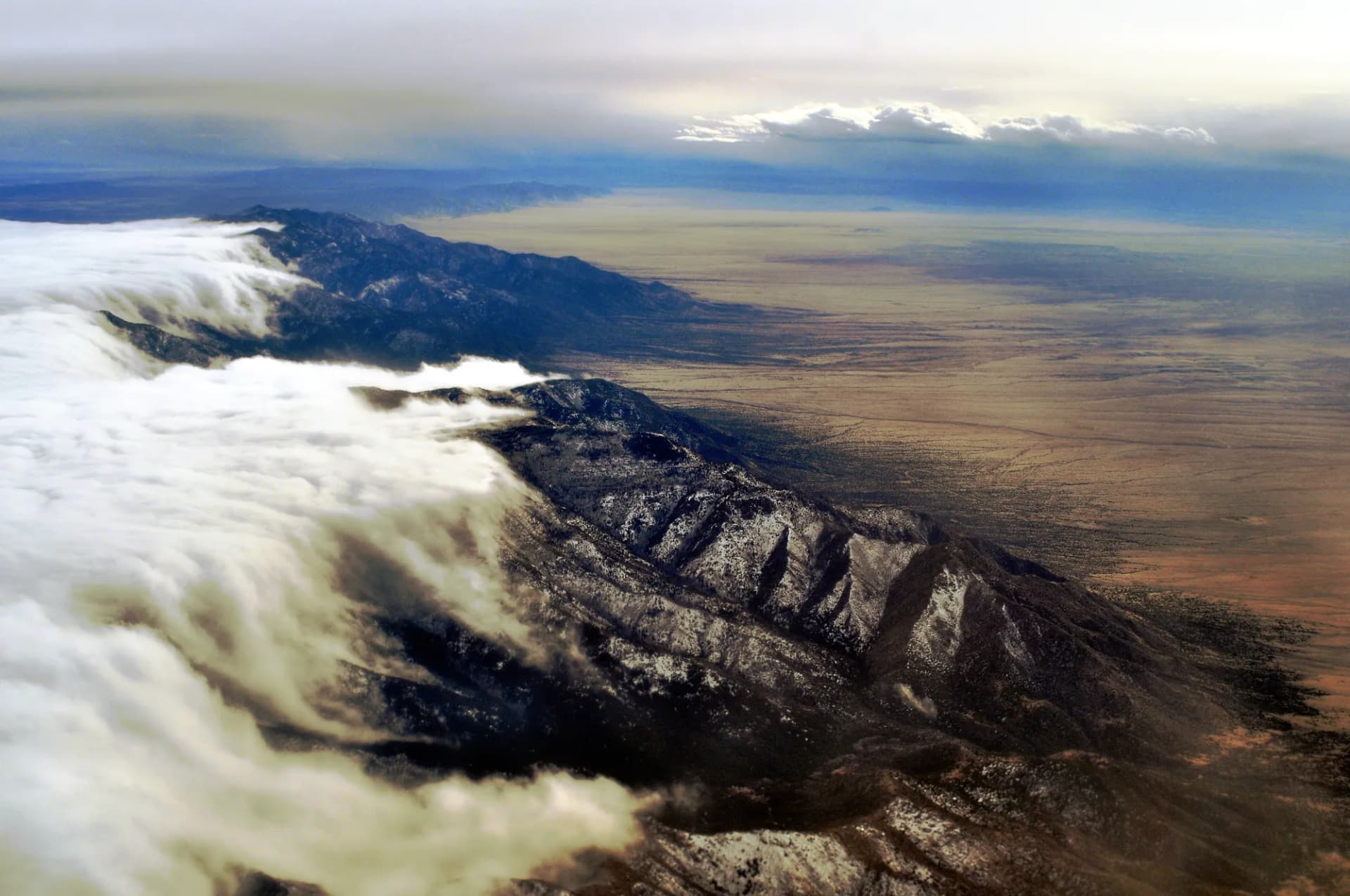
The forest spans a dramatic elevation gradient: from the Salt River valley at around 1,300 feet through the Mazatzal and Four Peaks wilderness areas to the Mogollon Rim at nearly 8,000 feet. This elevation range creates distinct seasonal windows for different parts of the forest. The lower desert terrain around the chain of lakes and in the Superstition Wilderness is best October through April, while the high-country trails near Payson and the Rim are the summer-and-fall option.
Heat is the defining management issue in the Tonto. Summer temperatures at lower elevations regularly exceed 110 degrees Fahrenheit, and the forest posts heat advisories throughout July and August. Many hikers carry 3-4 liters of water on desert trails and plan to complete hikes before 8 a.m. Individual hydration needs vary with temperature and exertion, but heat illness is a genuine and recurring emergency situation in the Tonto's desert terrain. Flash flooding during monsoon season (July through September) adds risk in canyon drainages.
Why Tonto Stands Out
The Four Peaks and Mazatzal Wilderness. The rugged ridge and canyon country of the Mazatzal Mountains and Four Peaks Wilderness represents the Tonto at its most demanding. Four Peaks (four distinct summits above 7,000 feet) is the visible landmark of the Phoenix skyline from the east. Climbing to that high country from the desert below is one of the more dramatic elevation transitions in the Southwest.
The Chain of Lakes. Theodore Roosevelt Lake, Apache Lake, Canyon Lake, and Saguaro Lake form a chain of reservoirs on the Salt and Verde Rivers within the forest. These are major recreation destinations for boating, camping, and fishing. The Tonto Pass is required at most lake recreation areas.
Desert Wilderness Near a Major City. Hiking into genuine wilderness 45 minutes from a 5-million-person metro area is unusual. The Barnhardt Trail and Mazatzal Peak Trail access roadless terrain where the Phoenix skyline is below and behind you. Understanding the difference between national forests and national parks is helpful context; the Tonto's dispersed recreation model means fewer facilities and more freedom than park equivalents.
Best Trails in Tonto
Four Peaks Trail is the signature summit hike: 8 miles round trip with 2,400 feet of gain to the prominent quartzite peaks visible from most of metropolitan Phoenix. Mazatzal Peak Trail is the most demanding day hike in the forest, climbing 3,500 feet in 12 miles to one of central Arizona's most remote summit views.
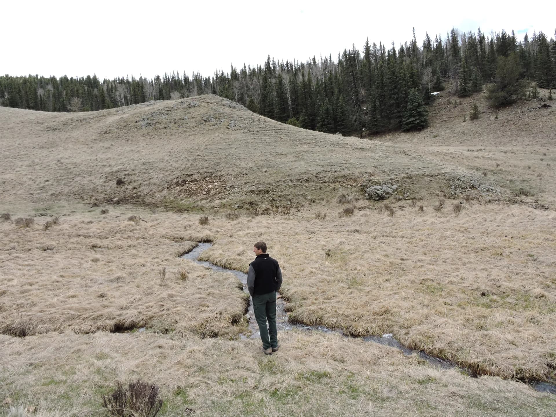
Barnhardt Trail provides access to the Mazatzal Wilderness in a slightly more gradual way, gaining 2,100 feet to the wilderness crest with dramatic canyon views. Horton Springs via Highline Trail delivers a more moderate Mogollon Rim experience, following the historic Highline Trail to a perennial spring in the ponderosa pine zone.
Permits and Passes
The Tonto Pass is unique among Arizona national forests. Required at most recreation sites, it costs $8/day or $80/year as of 2026. Purchase online at Recreation.gov or at vendors throughout the Phoenix area. The America the Beautiful Pass does not substitute for the Tonto Pass at most Tonto sites.
Veterans should still check veteran benefits in national forests for applicable pass programs. Review the national forest camping permit guide for camping reservation procedures.
Camping
Cholla Campground on Theodore Roosevelt Lake with 206 sites is the Tonto's largest facility. Lake-access sites fill rapidly on winter and spring weekends; reserve through Recreation.gov well in advance.
Christopher Creek Campground near Payson at 5,600 feet elevation offers a cool-summer alternative. Sites in the pine forest provide a notably different atmosphere than the desert lake campgrounds.
Dispersed camping is available throughout the forest subject to campfire restrictions and 14-night maximum stays. The Tonto's fire danger can result in complete restrictions that prohibit even charcoal grills; always verify current status.
When to Visit
October through April for lower-elevation desert trails. May through October for the high country near the Mogollon Rim. The two windows rarely overlap except at mid-elevation (4,000-6,000 feet) in the shoulder seasons.
Monsoon season (July through September) adds flash flood risk to the forest's canyon terrain. The Tonto's geology and canyon drainage systems make flash flooding a serious and rapid hazard. Check current weather forecasts before any canyon hike. See checking conditions before you go for current conditions resources.
Getting There
From Phoenix: US-60 east through Mesa to Globe provides access to the eastern Tonto. AZ-87 north through Fountain Hills accesses the Mazatzal and Payson areas. AZ-88 (Apache Trail) provides the classic scenic route to the chain of lakes.
From Tucson: I-10 north to Florence Junction, then US-60 west or AZ-79 north to reach various forest entry points.
Practical Tips
Purchase the Tonto Pass before leaving home. Many trailhead vendors sell out on busy weekends. Verify current fee requirements, as the program has changed periodically.
Desert summer heat is a genuine safety issue. The forest's rule of thumb for summer hiking is: start before 7 a.m., be off the trail by 10 a.m. Many experienced desert hikers carry 3-4 liters of water per person; individual needs vary significantly with temperature and effort level.
Cell service is limited to non-existent in most backcountry areas. A downloaded offline map is essential for any trail beyond heavily used corridors.
Planning Your Trip
Payson, Globe, and the Phoenix metro area all provide services. The Apache Trail (AZ-88) route from Apache Junction to Roosevelt Lake passes through the forest's most scenic terrain. This road is partly unpaved and not suitable for large RVs; verify current road conditions before driving it.
Emergency services response times in the more remote Tonto wilderness areas can be lengthy. A personal locator beacon (PLB) or satellite communicator is strongly recommended for backcountry trips, particularly in summer.