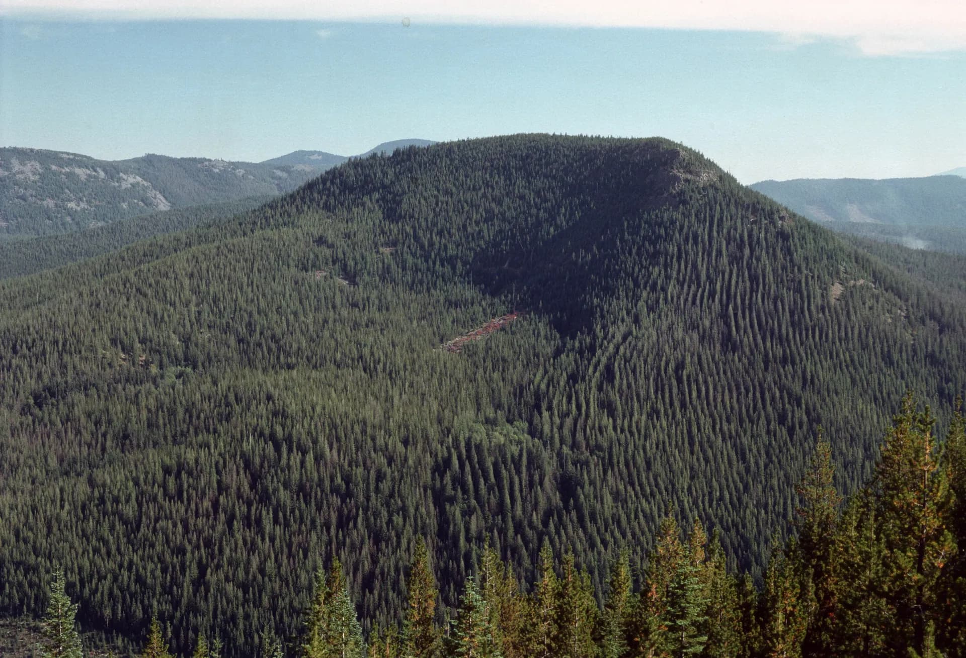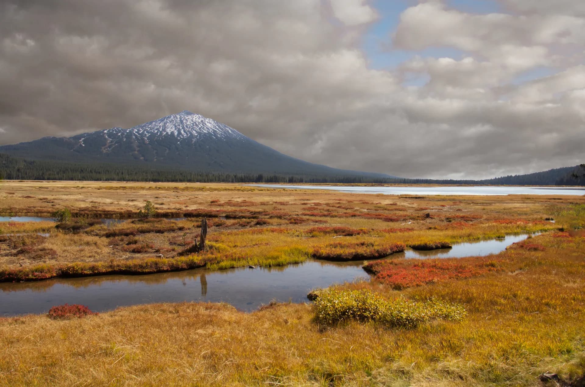
Deschutes National Forest
1,596,900 acresJune through October
Complete guide to Deschutes National Forest in central Oregon. Trail recommendations, campgrounds, permits, volcanic landscapes, and trip planning resources.
9 min read
The Beaver State
From volcanic peaks to old-growth rainforest: 30 million acres of public land to explore.
53% of Oregon is publicly owned, one of the highest percentages in the country
Oregon has 20+ named volcanic peaks in the Cascades, including three over 10,000 ft
Crater Lake (1,943 ft deep) is the deepest lake in the United States
Oregon contains more old-growth forest than any other state in the lower 48
Over 8,000 miles of hiking trails cross Oregon's national forest lands
August and September bring peak fire season. Check conditions before any trip
Mid-June through October for most trails. High alpine routes (above 7,000 ft) often stay snowed in until late July.
The Pacific Crest Trail crosses 362 miles through Oregon, more than any other state.
Deschutes National Forest gets 300 days of sunshine per year, making it one of the driest national forests in the Pacific Northwest.
Mount Hood is the most-climbed glaciated peak in North America, with over 10,000 summit attempts per year.
Oregon's Opal Creek Wilderness contains some of the last unlogged watershed in the state, with trees over 1,000 years old.
The Three Sisters (South, Middle, and North) are the third, fourth, and fifth highest peaks in Oregon, and you can see all three from a single trail.