Uinta-Wasatch-Cache National Forest
2,119,930 acresJune through October
Complete guide to Uinta-Wasatch-Cache National Forest in Utah. Trail recommendations, campgrounds, permits, alpine lakes, and trip planning resources.
10 min read
The Beehive State
Red rock canyons, the Wasatch Front, and the highest average elevation of any state in the nation.
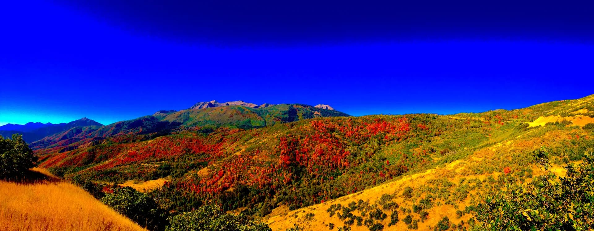
The Wasatch Range rises directly behind Salt Lake City, putting world-class trails within 30 minutes of 2 million people
Utah's 'Greatest Snow on Earth' trademark reflects Wasatch forests receiving 500+ inches of dry powder annually
Utah's five national parks (the Mighty Five) are surrounded by national forest land that offers similar scenery with far fewer crowds
Utah has the highest mean elevation of any state at 6,100 ft, with most forest trails starting above 7,000 ft
Wasatch-Cache National Forest provides 60% of Salt Lake City's drinking water from mountain snowpack and springs
The Uinta Mountains are the only major east-west running range in the contiguous US, with Utah's highest peak at 13,534 ft
May through October for most trails. High Uintas stay snowed in until late June. Desert-adjacent forests are best in spring and fall. The Wasatch Range offers reliable conditions June through October.
The High Uintas Wilderness is the largest wilderness area in Utah at over 460,000 acres, with more than 1,000 lakes.
Dixie National Forest is the largest national forest in Utah at nearly 2 million acres, stretching across southern Utah.
Wasatch-Cache National Forest manages the ski terrain for 7 of Utah's major ski resorts during winter months.
The Bonneville Shoreline Trail follows the ancient shoreline of Lake Bonneville, which covered most of western Utah 15,000 years ago.
Manti-La Sal National Forest contains the La Sal Mountains, which rise from red rock desert to nearly 13,000 ft in just a few miles.