Helena-Lewis and Clark National Forest has an unusual relationship with the city it surrounds. Montana's state capital sits in a valley bowl with national forest land beginning practically at the edge of town, making this one of the most accessible large national forests in the country for its nearest urban population. Residents of Helena can be on a genuine wilderness trail in 20 minutes. The forest is not just a distant recreation resource it is the literal backyard of a state capital.
The forest covers 2.9 million acres across central Montana in two separate units: the Helena unit surrounding the capital and extending north along the Continental Divide, and the Lewis and Clark unit covering the Big Belt and Little Belt mountains to the east. The 2015 merger of these historically separate forests created an administrative unit with remarkable ecological diversity, from the limestone canyon country of the Little Belts to the high-divide terrain near the Scapegoat Wilderness.
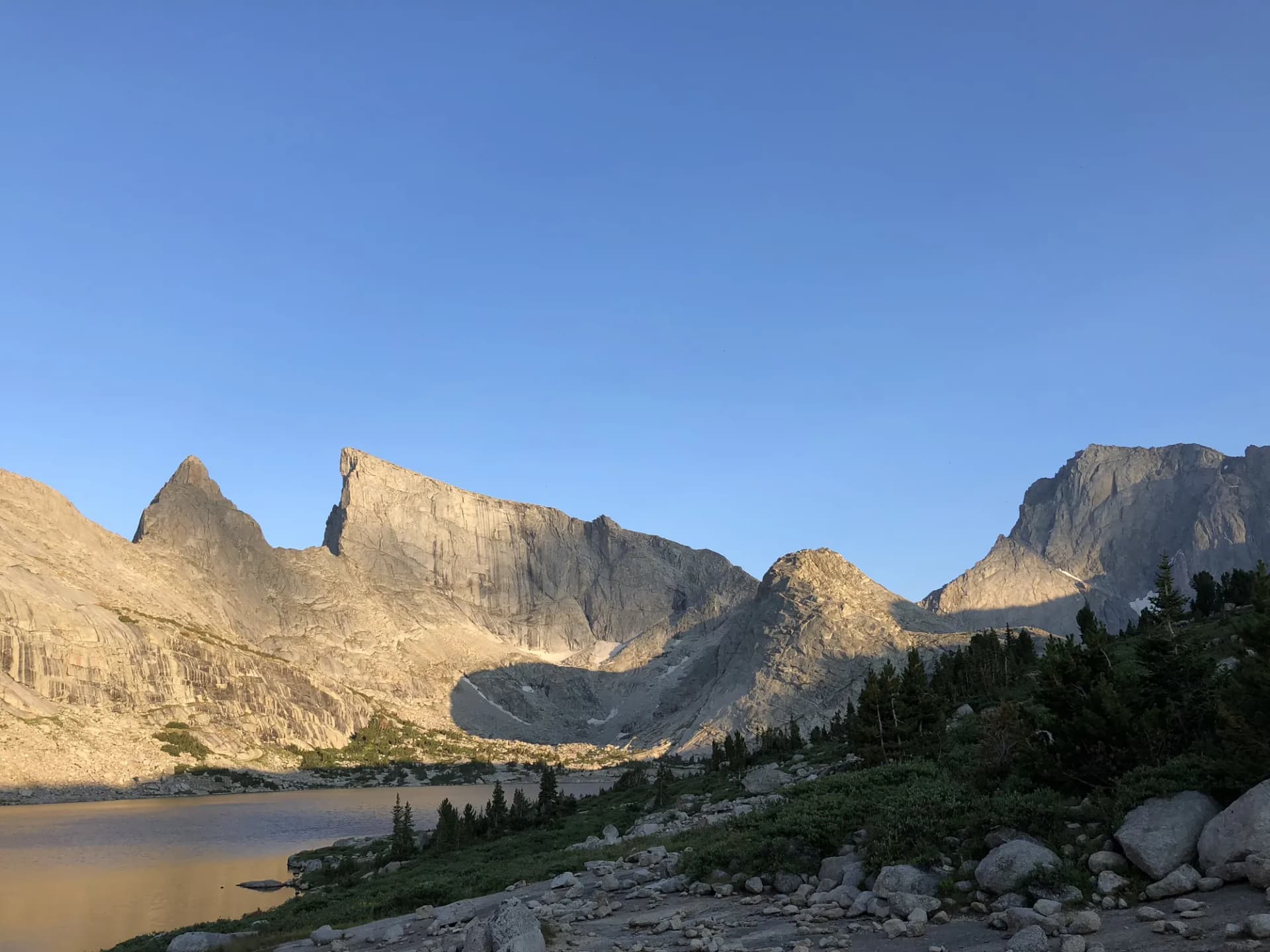
Three designated wilderness areas protect the most sensitive terrain. Gates of the Mountains Wilderness, named by Meriwether Lewis in 1805 when the Missouri River's limestone cliffs seemed to open before the Corps of Discovery, sits immediately north of Helena on the Missouri River. The Scapegoat Wilderness adjoins the famous Bob Marshall Wilderness complex to the north, and together these two areas create a contiguous wilderness spanning over a million acres one of the largest in the lower 48 states.
Why Helena-Lewis and Clark Stands Out
Proximity to Helena
The practical significance of having 2.9 million acres of national forest surrounding a state capital is difficult to overstate. Trails like Little Prickly Pear Creek are accessible before and after work. The Refrigerator Canyon trail is a 30-minute drive from downtown Helena. For outdoor recreation, this is an exceptional urban arrangement.
Limestone Canyon Geology
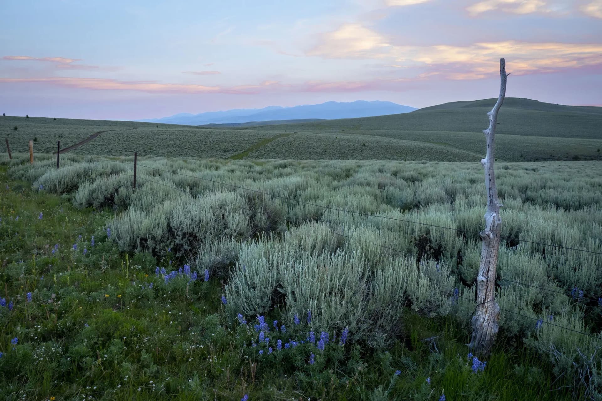
The Little Belt Mountains offer a fundamentally different geological experience than the granite and volcanic landscapes that characterize most Montana ranges. Limestone karst creates canyon features, caves, and formations unique in the state. The Boulder Lake Trail and Refrigerator Canyon both access this landscape, which remains cooler than other ranges in summer due to the canyon microclimate.
Continental Divide Access
The CDT section near Helena provides high-divide walking with views that extend across the Helena Valley to the east and north toward the Bob Marshall country. The CDT section accessible from the forest's western trailheads is one of the more underused segments of this national scenic trail in Montana.
Best Trails in Helena-Lewis and Clark National Forest
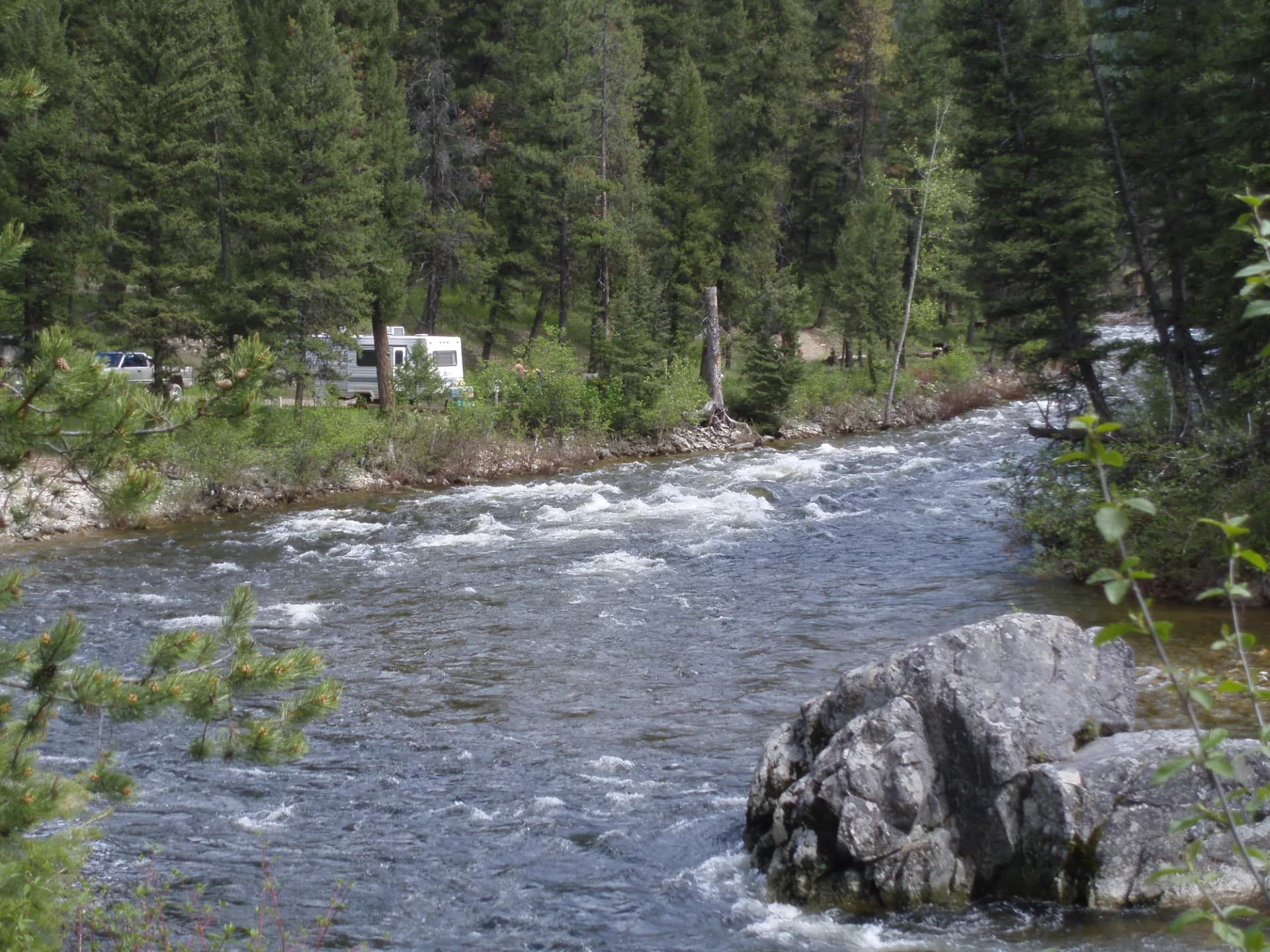
Boulder Lake Trail is the premier high-country destination, a 9-mile round-trip with 2,000 feet of gain to a scenic lake in the Big Belt Mountains. Refrigerator Canyon to Hanging Valley is a unique cool-canyon experience with 1,800 feet of gain to an elevated valley viewpoint.
For easier outings near Helena, Little Prickly Pear Creek Trail is a gentle 7-mile route along a creek corridor, and Strickland Gulch offers a short 4-mile loop accessible to all fitness levels. Longer routes include the CDT Section near Helena and the Crow Creek Trail.
Permits and Passes
No permit is required for most day hiking as of 2026. Developed campground reservations are available through Recreation.gov. America the Beautiful passes cover day-use fees at developed sites. Veterans should review fee benefits in our veteran benefits guide.
Verify current requirements with the appropriate ranger district before your trip.
Camping
Developed campgrounds range from Vigilante Campground in the Helena area to Dry Wolf in the Little Belt Mountains. Dispersed camping is permitted throughout most of the forest. See the camping permit guide for practical guidance on national forest camping.
When to Visit
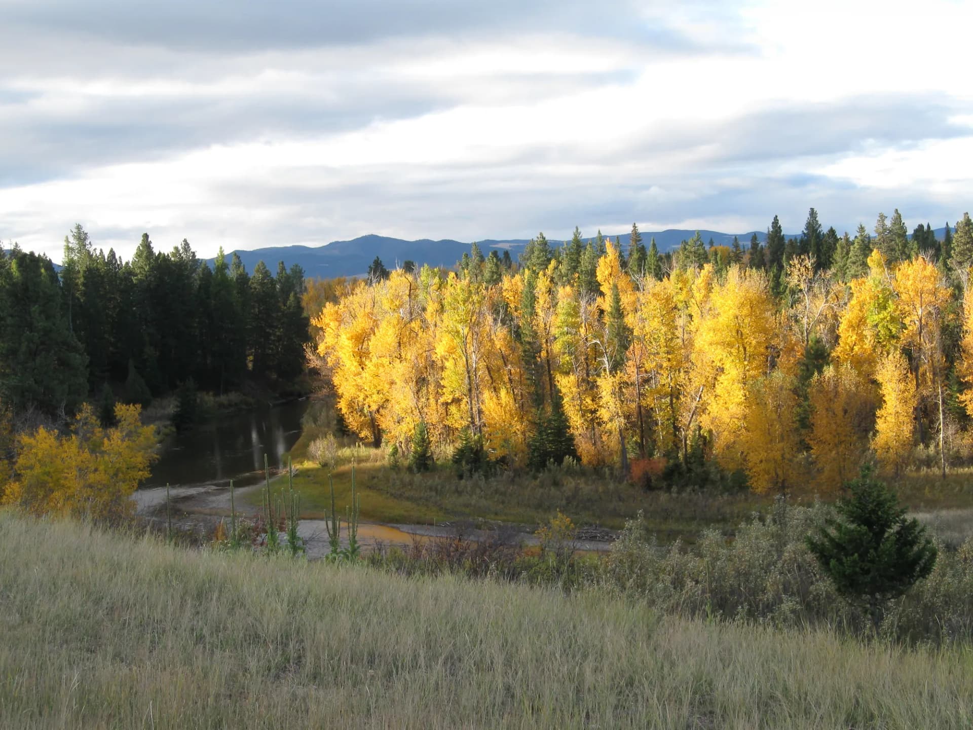
The forest's central Montana location means a longer usable season than the higher-elevation forests to the west and south. Lower-elevation trails in the Helena area and Little Belt Mountains open by late May. High-elevation routes in the Big Belt and Lewis Range are accessible July through September. Fall in the Little Belts can be exceptional for color.
Before visiting, review the conditions-checking guide for current road and trail conditions.
Getting There
Helena is on I-15, approximately 105 miles north of Butte and 110 miles south of Great Falls. US-12 east from Helena leads to the Little Belt Mountains and the Judith Ranger District. MT-280 and local roads lead to the Helena unit trailheads.
Practical Tips
Bears both black and grizzly are present throughout the forest. Bear spray is a reasonable precaution throughout the backcountry. The proximity to Helena means more trail traffic on weekends than many comparable forests, particularly on trails within 30 miles of the city.
Planning Your Trip
Helena is an excellent base for the forest the city has hotels, good restaurants, and the Montana Historical Society museum if a day of rain interrupts outdoor plans. See our national forest overview for background on how national forests differ from national parks in rules and expectations.