Rogue River-Siskiyou National Forest occupies the southwestern corner of Oregon, stretching from the volcanic Cascades in the east to the botanically extraordinary Klamath-Siskiyou Mountains in the west. At 1.8 million acres with eight designated wilderness areas, it is one of the most diverse national forests in the Pacific Northwest, encompassing wild river canyons, volcanic lake districts, ancient lava cap mesas, and one of the world's recognized biodiversity hotspots.
The forest's two names reflect its dual character. The Rogue River portion follows the wild and scenic corridor of the Rogue River as it cuts through an 84-mile roadless canyon between Grave Creek and the coast. The canyon is warm, dramatic, and remote enough that hiking or floating its length constitutes a genuine wilderness journey. The Siskiyou portion covers the mountains straddling the Oregon-California border, where geological complexity and a collision of Pacific and continental climates produce a landscape with more plant species per square mile than almost anywhere in North America.
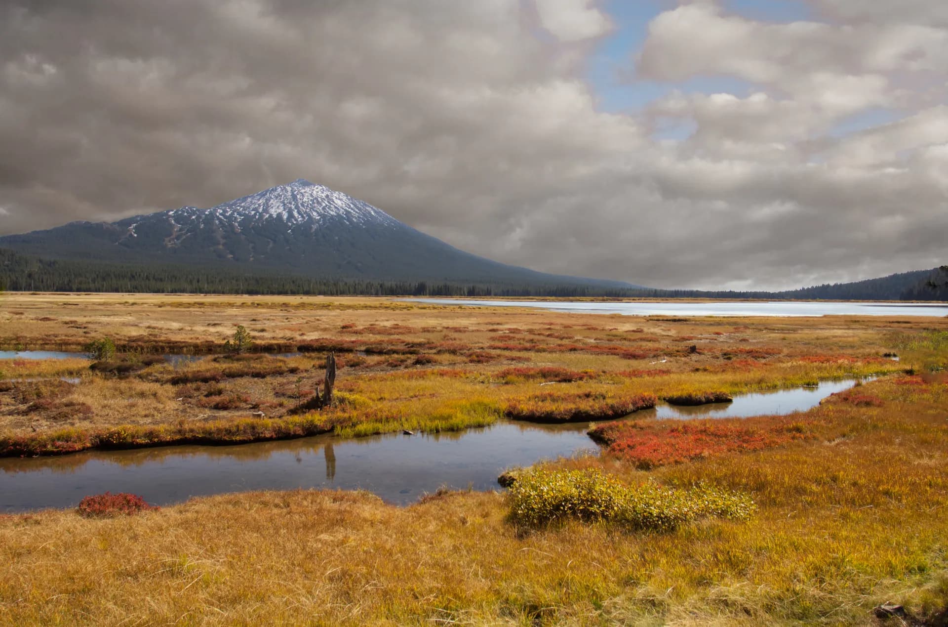
Southern Oregon's climate sets this forest apart from the Cascade and Coast Range forests to the north. Medford, at the forest's edge, is one of Oregon's warmest cities. The Rogue River canyon below the town is essentially a different climate zone, hot and dry in summer with mild winters. High elevation areas like the Sky Lakes Wilderness at 4,500 to 7,500 feet operate on a Pacific climate with heavy snowpack. The variety within driving distance of Medford is remarkable.
Why Rogue River-Siskiyou Stands Out
The Wild and Scenic Rogue River
The 84-mile wild section of the Rogue River between Grave Creek and Illahee is one of the premier river wilderness experiences in the West. The Rogue River National Recreation Trail parallels the river for most of its length, offering a multi-day backpacking route through a canyon that is genuinely remote by Pacific Northwest standards. The cliffs, swimming holes, and wildlife density of the canyon make it a destination for both hikers and float-trip participants. Black bears are common along the river; osprey and bald eagles fish overhead.
Sky Lakes Wilderness
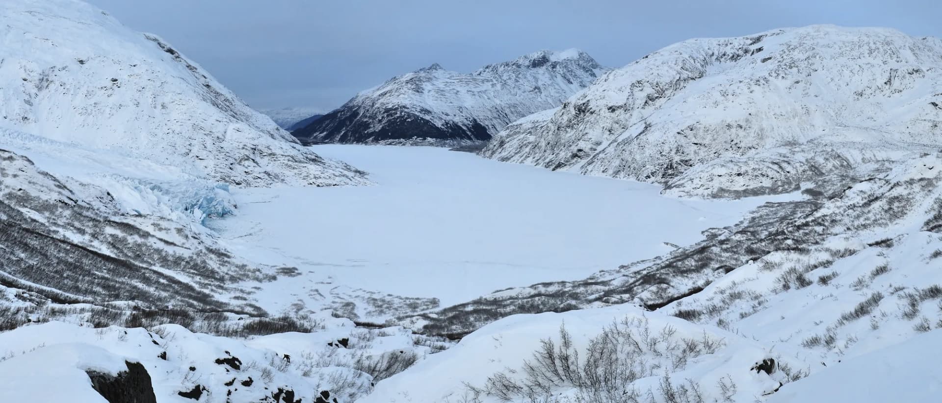
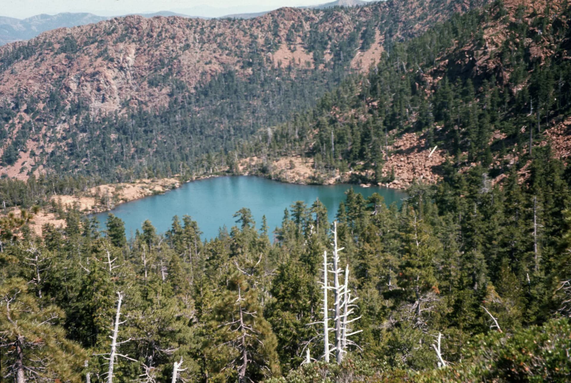
The Sky Lakes Wilderness sits astride the Cascade crest south of Crater Lake, containing more than 200 lakes in a volcanic landscape of lava flows, cinder cones, and subalpine meadows. The concentration of lakes in a relatively compact area (116,000 acres) is extraordinary. The wilderness is the southern anchor of the Oregon Skyline Trail and Cascade Route. Hiking here means traversing volcanic rock, circling lake after lake, and camping in a high-country landscape that feels Alaskan in its openness.
Botanical Diversity
The Klamath-Siskiyou region holds more conifer species than any equal area in the world. The forest includes rare endemic plants found nowhere else, including the Brewer spruce (weeping spruce), Port Orford cedar, and several orchid and lily species restricted to the ultramafic soils of the Siskiyous. Botanists visit specifically to find species impossible to see elsewhere.
Best Trails in Rogue River-Siskiyou National Forest
Rogue River National Recreation Trail follows the Wild and Scenic corridor for 40 miles, with the described day hike section covering 10 miles through some of the most dramatic canyon terrain. See the Rogue River Trail guide.
Sky Lakes Wilderness Loop circles through the volcanic lake district in a 9-mile circuit with multiple lake destinations. See the Sky Lakes guide.
Upper Table Rock climbs to the summit of a 3,198-foot lava cap mesa above Medford with panoramic Rogue Valley views. The Upper Table Rock guide covers the route.
Grayback Mountain is the forest's best strenuous summit hike, a 7.8-mile climb to the highest point in the Siskiyou Mountains accessible by trail. Details at the Grayback Mountain guide.
Permits and Passes
A Northwest Forest Pass is required at most developed trailheads (as of 2026). The America the Beautiful Interagency Annual Pass covers this fee. Veterans and active military may be eligible for a free pass; see veteran benefits for national forests.
Wilderness permits for the Sky Lakes and other wilderness areas are free self-issue at trailheads (as of 2026). The Rogue River floating permit is separate and required for multi-day float trips; contact the Medford District office for current float permit requirements.
Camping
Farewell Bend Campground near Prospect is the most popular drive-in option in the eastern portion of the forest. Foster Bar serves as the takeout and camping area for Rogue River float trips in the lower canyon. Dispersed camping is permitted throughout most of the forest; see the Leave No Trace principles for guidelines.
The national forest camping permit guide covers the general process for national forest overnight trips.
When to Visit
The forest spans an enormous elevation range and the best season varies by destination. The Rogue River canyon is best from April through June and September through October (summer temperatures exceed 100°F regularly). The Sky Lakes Wilderness and high-elevation Cascade trails are best from July through September. Table Rock and lower-elevation Siskiyou hikes are accessible March through November.
Getting There
Interstate 5 through southern Oregon provides the main access corridor. Medford is the central hub, with Highway 62 north to the Crater Lake and Sky Lakes area, Highway 238 southwest toward the Illinois Valley and Siskiyous, and Interstate 5 south to Ashland and the Siskiyou Pass.
Portland is approximately 270 miles north via I-5 (about 4 hours). San Francisco is approximately 370 miles south.
Practical Tips
- Wildfire is a significant hazard in the Siskiyou region in late summer. Check air quality and closure status before heading out, especially August through September. See current conditions for fire information resources.
- The Rogue River canyon can be brutally hot from June through August. Hike early, carry abundant water, and consider avoiding midday sun in the canyon bottom.
- Rattlesnakes are present in the lower-elevation portions of the forest, particularly the Rogue canyon and Siskiyou foothills. The USFS recommends staying on trail and watching your step.
- Review the national forest vs. national park guide for the relationship between this forest and adjacent Crater Lake National Park.
Planning Your Trip
The Rogue River-Siskiyou National Forest has two ranger districts with local information: the Medford District (east and central portions) and the Siskiyou Mountains Ranger District (west and south). The Medford District office is in Medford. The Galice-Grave Creek area (Rogue canyon trailhead) is accessible from Grants Pass.