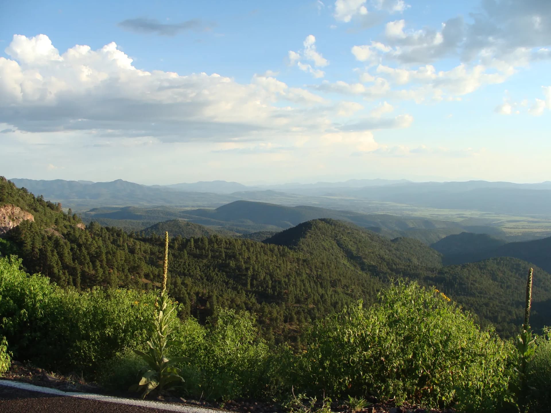
Carson National Forest fans out across northern New Mexico from the Colorado border south to the Taos Plateau, covering 1.5 million acres of terrain that includes New Mexico's highest peak, five separate wilderness areas, and an astonishing variety of landscapes within a single forest boundary. The forest is named for the legendary scout and frontiersman Kit Carson, who lived in Taos for much of his adult life and is buried there.
The crown jewel is Wheeler Peak at 13,161 feet, New Mexico's highest point, rising above Taos Ski Valley in the Wheeler Peak Wilderness. The standard summit route is one of the most accessible high-altitude hikes in the Southwest, combining a high starting elevation with a well-maintained trail that gains the summit in 8 miles round trip. But Wheeler Peak is only one of the forest's attractions. The Latir Peak Wilderness to the north offers more remote and equally dramatic terrain with far fewer hikers. Williams Lake is one of the most rewarding short hikes in New Mexico. The Hondo Canyon and the Rio Hondo drainage that flows through the heart of the Taos Mountains provide miles of forest and canyon hiking accessible within 20 minutes of Taos Plaza.
Why Carson Stands Out
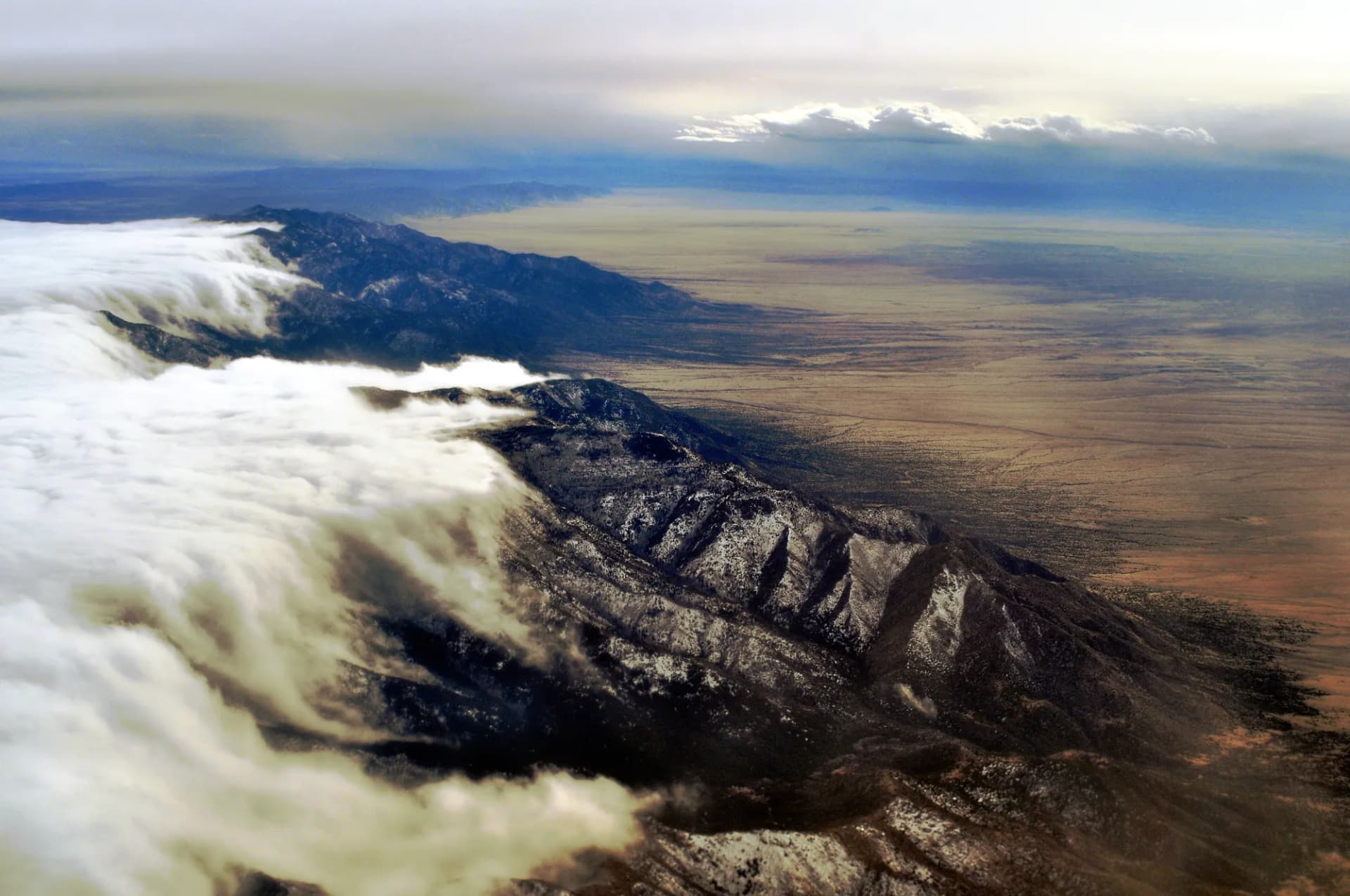
New Mexico's Highest Peak. Wheeler Peak at 13,161 feet is the state highpoint and sits fully within Carson National Forest. The Taos Ski Valley trailhead starts at 9,450 feet, giving the summit route an 8-mile round trip profile that is demanding but achievable for fit day hikers without technical climbing skills. The summit view on a clear day encompasses much of northern New Mexico and southern Colorado, with the Rio Grande Gorge visible to the west and the Sangre de Cristo peaks stretching in both directions.
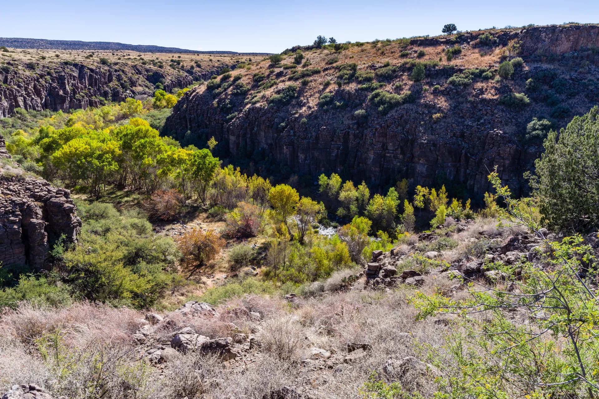
Wilderness Variety. Carson National Forest contains five separate wilderness areas covering a wide range of terrain. The Wheeler Peak Wilderness (19,661 acres) protects the main Taos high-country. The Latir Peak Wilderness (20,506 acres) to the north is wilder and less visited. The Columbine-Hondo Wilderness (43,592 acres) covers the canyons and peaks draining into the Rio Hondo. Each area has its own character and trail system.
Year-Round Recreation. Taos Ski Valley in the heart of the forest is a world-class alpine ski area in winter, and the same terrain becomes prime hiking in summer. The combination of ski infrastructure (parking, roads, a lodge) and high-altitude trail access makes the Wheeler Peak and Williams Lake corridors more accessible than comparable peaks in more remote wilderness. The ski valley also provides the only high-altitude starting point for trails in the area.
Best Trails in Carson National Forest
Wheeler Peak Summit (8 miles round trip) is the signature hike in the forest, climbing from Taos Ski Valley to New Mexico's highest point. The route gains 2,700 feet through the Wheeler Peak Wilderness and requires careful afternoon thunderstorm management in summer. See the Wheeler Peak trail guide.
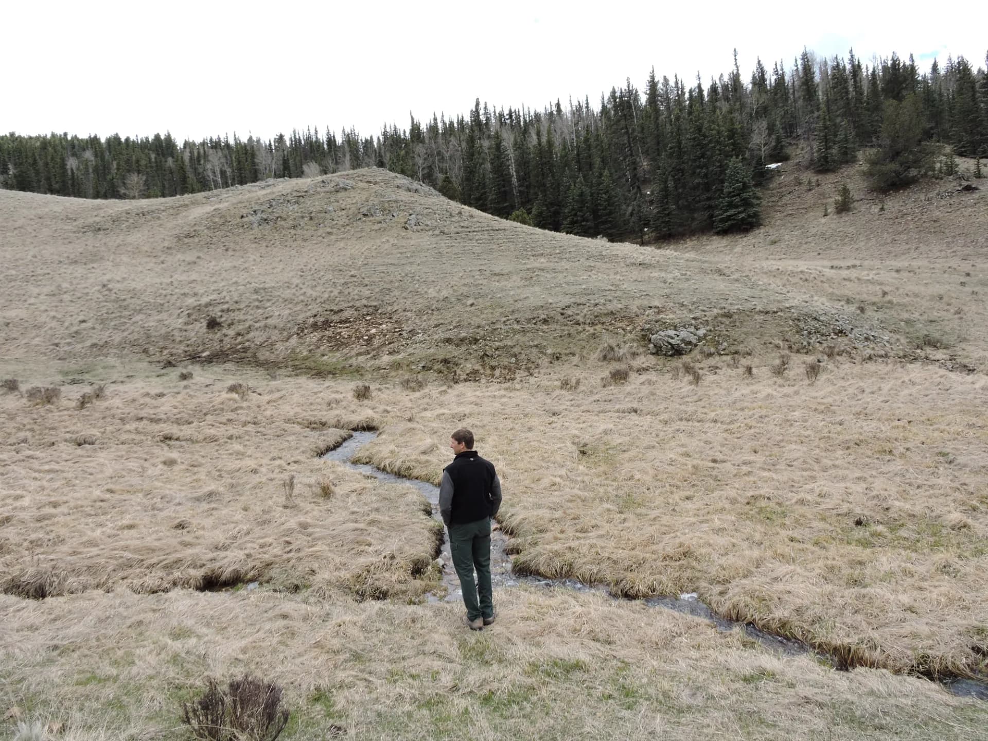
Williams Lake (4.4 miles round trip) is the most popular short hike in the Taos Mountains, reaching a dramatic alpine lake below Wheeler Peak at 11,040 feet. The trail is accessible and rewarding, with the lake backed by a steep headwall that holds snow well into summer. See the Williams Lake trail guide.
Latir Peak Wilderness Trail (9 miles round trip) reaches into the remote northern wilderness with far fewer visitors than the Wheeler Peak approaches. The route accesses the Latir Lakes basin and Latir Peak, offering a more demanding and solitary experience. See the Latir Peak trail guide.
Middle Fork Lake (8 miles round trip) in the Columbine-Hondo Wilderness offers a moderate-hard approach to a scenic alpine lake in the western portion of the Taos Mountains. See the Middle Fork Lake trail guide.
Permits and Passes
No permits are required for day hiking or wilderness camping in Carson National Forest as of 2026. No quota systems are in place for the Wheeler Peak or Latir Peak wilderness areas. Campground fees apply at developed sites. Verify current requirements with the applicable ranger district before your trip, as regulations can change.
Fire restrictions are common in spring and early summer. Check the Carson National Forest website and InciWeb before any trip. The America the Beautiful Pass is accepted at applicable fee areas.
Camping
Developed campgrounds serve the major trail corridors. Columbine Campground near Taos Ski Valley is the most used, with 27 sites that can be reserved through recreation.gov. The campground sits in the Rio Hondo drainage at 7,900 feet and stays busy on summer weekends.
Cabresto Lake Campground provides access to the Latir Peak area from the north, near Questa. It is small (7 sites) and first-come first-served.
Dispersed camping is permitted throughout the forest outside of developed areas and within wilderness areas, with standard 200-foot setback requirements from water sources and trails. Review the national forest camping guide for dispersed camping protocols.
When to Visit
June through October covers the primary hiking season for high-altitude destinations. Wheeler Peak's summit is typically accessible by late June. The monsoon season from mid-July through early September brings daily afternoon thunderstorms; plan summits and exposed ridge crossings for morning.
The Taos area is popular in fall, when aspens in the Rio Hondo Canyon and throughout the forest turn brilliant gold. The peak fall color window is typically late September to mid-October and is one of the more spectacular in the Southwest.
Getting There
Taos is the primary gateway for Carson National Forest. From Santa Fe, take US-285 north to Española, then NM Highway 68 north to Taos, approximately 75 miles and 90 minutes. From Albuquerque, the most direct route is I-25 north to US-64 east through Cimarron to Taos, approximately 130 miles.
For Taos Ski Valley (Wheeler Peak and Williams Lake trailheads), take NM Highway 150 northeast from Taos approximately 18 miles to the ski valley. The road is paved and suitable for all vehicles. For the Latir Peak area near Questa, take NM Highway 38 north from Taos to Questa, then NM Highway 563 north toward Cabresto Lake.
Practical Tips
Altitude is a significant factor in Carson National Forest. The city of Taos sits at nearly 7,000 feet, but the major trailheads begin at 9,000 to 10,000 feet and the summits exceed 13,000 feet. Plan time to acclimatize in Taos before attempting high-altitude routes. Individual responses to altitude vary; consult a physician if you have cardiovascular or respiratory concerns.
Bears are present in the forest. Store food properly on overnight trips. See the bear canister requirements guide for current guidance. Water sources are plentiful in the high country but require filtering or treatment.
Planning Your Trip
Carson National Forest is managed across six ranger districts: Camino Real, El Rito, Jicarilla, Questa, Tres Piedras, and Canjilon. Most of the hiking covered in this guide falls under the Questa Ranger District (Wheeler Peak, Latir) or the Camino Real District (Hondo Canyon, Williams Lake area).
Compare with the neighboring Santa Fe National Forest to the south and Cibola National Forest to the southwest for a full picture of New Mexico's highland national forest hiking corridor. All three forests share the Sangre de Cristo spine while covering different portions of the state's mountain ranges.
Veterans and active military can use the Military Annual Pass and America the Beautiful Access Pass at applicable Carson National Forest fee areas. See the veteran benefits guide for the full summary of available benefits.