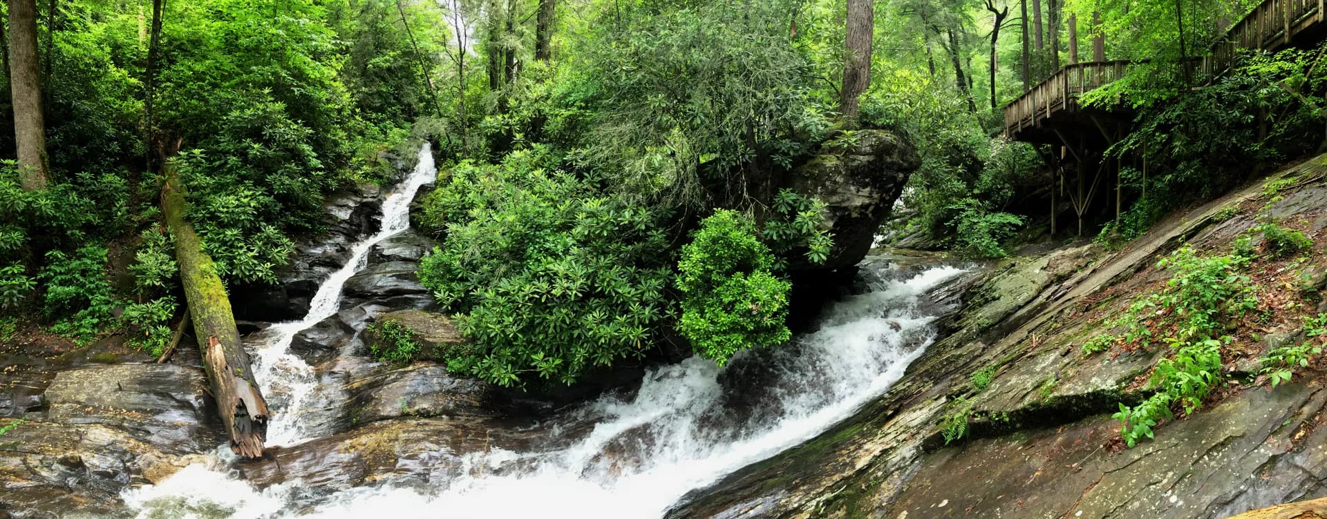
Bienville National Forest covers 179,000 acres of rolling pine and hardwood country in central Mississippi, occupying the watershed between the Pearl River to the west and the Chunky-Chickasawhay River system to the east. The terrain is gently rolling rather than flat, unusual by Mississippi standards, with mixed pine-hardwood ridges and creek bottoms. The forest's character is shaped more by its hunting and fishing heritage than by dramatic scenery, but it holds several distinctive features: a rare prairie remnant at Harrell Prairie, a scenic pine area at Bienville Pines, and the primary equestrian trail system in central Mississippi.
The forest is named for Jean-Baptiste Le Moyne de Bienville, the French colonial governor who founded New Orleans and administered the Louisiana territory in the early 18th century. The land here was part of that French colonial claim before passing to Spain, then back to France, and finally to the United States in the Louisiana Purchase. The forest's mix of French and Native American place names reflects that layered history.
Why Bienville Stands Out
Harrell Prairie Heritage Area. In a state dominated by pine forest and bottomland hardwood, the 35-acre Harrell Prairie is something genuinely unusual: a natural grassland opening with native wiregrass, coneflowers, and other prairie plants that managed to persist through the logging era and subsequent reforestation. The USFS manages the prairie with prescribed burns. The short Harrell Prairie Nature Trail loops through the opening with interpretive signs explaining the ecology.
Bienville Pines Scenic Area. A remnant stand of mature longleaf and loblolly pine in the central section of the forest provides a sense of the forest's original character. The trees here are larger and older than the surrounding managed timber stands, with a more open understory. The Bienville Pines Trail loops through this area.
Shockaloe Trail system. The 23-mile Shockaloe Trail is the primary equestrian and hiking route in the forest, running through the eastern sections of the forest across rolling hardwood and pine terrain. The trail system is one of the more developed in Mississippi's national forests.
Best Trails
The Shockaloe Trail (23 miles, moderate) is the signature route of the forest, covering rolling pine-hardwood ridges and creek bottoms in a system primarily used by equestrians and backpackers. The Lake Mike Conner Loop (5 miles, easy-moderate) circles the reservoir with lake views and fishing access throughout. The Harrell Prairie Nature Trail (1 mile, easy) is a short interpretive loop through the rare prairie opening.
The Bienville Pines Scenic Area Trail (3 miles, easy) explores the mature pine stand in the forest's central section. The Upper Chunky Creek Trail (6.5 miles, moderate) follows the creek drainage through bottomland hardwood. The Marathon Lake Loop (4.0 miles, easy) circles Marathon Lake with good birding. The Shockaloe Short Loop (8.0 miles, moderate) covers the most scenic section of the Shockaloe Trail system. The Bienville Forest Road Ridge Walk (5.5 miles, easy-moderate) traverses a ridge-top route through mixed forest with views over the Chunky Creek watershed.
Permits and Passes
No permit is required for day hiking or dispersed camping in Bienville National Forest. Developed campground sites require fees. The America the Beautiful pass covers day use fees. Veterans have additional options in our veteran benefits guide.
Check current conditions and any closures before visiting, particularly during hunting seasons. See our checking conditions guide for USFS resources.
Camping
Bienville Pines Campground (26 sites) is the primary developed campground, adjacent to the scenic pine area. Sites have picnic tables and fire rings, with vault restrooms. Reservations through Recreation.gov are possible.
Marathon Lake Campground (18 sites) sits near the lake, with basic facilities and first-come, first-served access. Good base for fishing.
Shockaloe Horse Camp is a primitive camp at the Shockaloe Trail trailhead, designed for equestrian parties with hitching posts and water. Free to use.
When to Visit
October through April is the most comfortable period. Temperatures range from 40s to 70s, insects are minimal, and wildlife activity is high during hunting seasons and spring migration. November through January is prime hunting season; hikers should wear blaze orange during firearm seasons.
May through September: Hot and humid. Morning hikes are manageable before 10am. The lake and creek areas are most pleasant in early morning.
Getting There
From Jackson: Take I-20 east to the Forest/Scott County exit, then south to the forest. The Bienville Ranger District office in Forest is about 55 miles east of Jackson. Allow 1 hour.
From Meridian: Take US-80 west or I-20 west to Forest/Scott County. The eastern sections of the forest are closest to Meridian, about 40 miles and 50 minutes.
Practical Tips
Hunting seasons from October through January mean that wearing blaze orange on forest trails during firearm deer and turkey seasons is strongly recommended by the USFS and the Mississippi Department of Wildlife, Fisheries and Parks.
Mosquitoes and ticks are active from March through October. DEET repellent and tick checks after any outing are worthwhile precautions.
Copperheads are the most common venomous snake in central Mississippi forests. Watching where you step in rocky and brushy terrain is a reasonable precaution. See the USFS recommendations for snake encounter safety.
The Leave No Trace seven principles help preserve Bienville's character, particularly in the lake and creek areas where visitor pressure is highest.