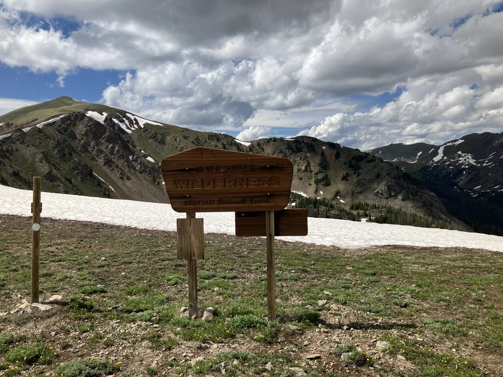
Bear River Range Above Logan
Cache National Forest occupies the Bear River Range in northern Utah, running along the Utah-Idaho border above the city of Logan. Covering roughly 1,034,000 acres, it forms the northern section of the combined Uinta-Wasatch-Cache National Forest administrative unit. Where the Wasatch section serves Salt Lake City's millions, Cache serves the Cache Valley and draws visitors who want a less crowded version of Utah alpine country.
Logan Canyon National Scenic Byway (US-89) cuts through the heart of the forest, climbing from the valley floor at 4,500 feet to the summit plateau near Bear Lake at 6,000 feet. This road alone is worth the drive: dramatic limestone canyon walls, fly-fishing on the Logan River, and trailhead access for most of the forest's major routes. The geology here is different from the granite and gneiss of the Wasatch section. The Bear River Range is primarily limestone and quartzite, a maritime reef system lifted and tilted over millions of years, which explains the sharp cliffs, sinkholes, and karst features throughout the landscape.
What Makes This Forest Distinct
The Bear River Range lacks the fame of the central Wasatch, but that is precisely its advantage. Trailhead parking is rarely a problem. Trails like the Jardine Juniper and the Tony Grove Lake loop draw local crowds but nothing approaching the weekend chaos at Donut Falls or Cecret Lake.
Tony Grove Lake is the single most visited destination in the forest: a glacial lake at 8,050 feet ringed by white limestone cliffs, subalpine fir, and wildflower meadows that peak in mid-July. The lake is accessible via an easy 1.5-mile loop, making it accessible for hikers of varying ability. The surrounding basin offers significantly more: Naomi Peak (9,980 feet), the high point of the range, is a 7-mile round trip from Tony Grove with panoramic views stretching into Idaho and across the Great Basin.
The Jardine Juniper is a legitimate natural wonder. This Rocky Mountain juniper sits on a ridge above Wood Camp Canyon and is estimated to be over 3,200 years old, placing its germination around 1200 BCE. Reaching it requires a 10-mile round trip with 1,600 feet of elevation gain, but the combination of canyon scenery, ridge views, and the tree itself makes it one of the best single-purpose hikes in northern Utah.
Best Trails
Naomi Peak Trail (7.0 miles, out-and-back) departs from Tony Grove and climbs steadily through subalpine forest to the highest point in the Bear River Range at 9,980 feet. The upper section crosses open limestone terrain with views extending north into Idaho's Bear Lake Valley. This trail is a strong option for fit hikers who want a Summit without the crowds of the central Wasatch.
Tony Grove Lake Trail (1.5 miles, loop) circles the glacial lake through wildflower meadows and stands of Engelmann spruce. The trail is nearly flat and works well for families and visitors who want a taste of subalpine scenery without significant climbing. Wildflowers peak in late July.
Jardine Juniper Trail (10.0 miles, out-and-back) is the forest's signature long hike. Starting from the Wood Camp trailhead in Logan Canyon, the route climbs 1,600 feet through mixed forest and open ridge terrain to reach the ancient juniper. The views from the ridge south toward the Wellsville Mountains are worth the effort even if the tree itself weren't there.
Bear River Ridge Trail (8.5 miles, out-and-back) follows the spine of the Bear River Range through subalpine meadows with long views on both flanks. The trail connects Tony Grove with the high plateau country and is popular with backpackers seeking a straightforward overnight.
Mount Elmer (9.0 miles, out-and-back) is a strenuous Summit route rising to 9,720 feet with views stretching from the Wasatch to the Great Basin. Less trafficked than Naomi Peak, this trail rewards hikers looking for solitude at elevation.
Steam Mill Lake (4.0 miles, out-and-back) reaches a quiet mountain lake in the northern section of the range, passing through old-growth fir stands that see far fewer visitors than the Tony Grove basin.
Permits and Passes
No permit is required for day hiking or dispersed camping in Cache National Forest (as of 2026). Developed campground reservations are handled through Recreation.gov.
The America the Beautiful pass covers day-use fees at developed recreation areas. Veterans and permanently disabled individuals may qualify for free or discounted access. See veteran benefits in national forests for details.
Camping
Tony Grove Campground (37 sites, reservable) is the highest and most scenic developed campground in the forest, sitting directly beside Tony Grove Lake at 8,050 feet. It fills quickly on summer weekends. Reserve through Recreation.gov well in advance for July and August weekends.
Logan Canyon has several smaller campgrounds at various points along US-89, ranging from primitive to semi-developed. Guinavah-Malibu Campground near the canyon mouth is a good option for families who want canyon access without the elevation of Tony Grove.
Dispersed camping is available throughout the forest away from developed areas. Review current restrictions with the Logan Ranger District, particularly during high fire danger periods. The dispersed camping guide covers general USFS rules that apply here.
When to Visit
June through October is the primary hiking season. Tony Grove and the high plateau roads are snow-covered through late June in most years. The wildflower peak at Tony Grove runs mid-July through early August. Fall color in the Logan Canyon aspens typically peaks in late September and early October, coinciding with one of the most scenic periods on the Scenic Byway.
Winter brings cross-country skiing and snowshoeing on groomed and ungroomed routes throughout the canyon. Logan Canyon itself remains accessible year-round on US-89.
Getting There
From Logan (Cache Valley), take US-89 east up Logan Canyon. Tony Grove Road branches north from the highway approximately 25 miles from Logan. For most canyon trailheads, simply pull off US-89 at the marked trailhead parking areas. The canyon road is well-maintained and accessible to all vehicles.
From Salt Lake City, take I-15 north to I-84 west, then north on US-89 through Brigham City and up to Logan. The total drive from SLC is approximately 85 miles, around 1 hour and 20 minutes.
Check current conditions before your visit at checking conditions before you go, particularly in early season when high-elevation roads may still be snow-covered. Practice Leave No Trace principles throughout the forest, especially around Tony Grove Lake where heavy foot traffic has impacted vegetation near the shoreline.