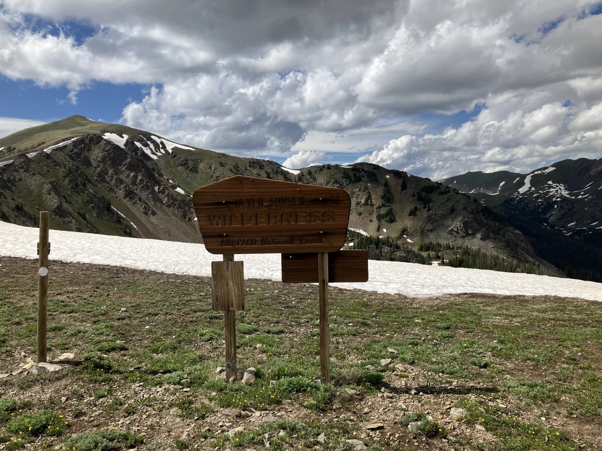
A High-Plateau Sanctuary in South-Central Utah
Fishlake National Forest sits on the high plateaus of south-central Utah, a landscape defined by sweeping aspen groves, volcanic rimrock, and clear-water lakes perched above 8,000 feet. Established in 1899, the forest covers 1.5 million acres across Sevier, Piute, Wayne, and Millard counties. Its signature attraction is Fish Lake, a natural lake resting at 8,843 feet elevation that draws anglers, paddlers, and anyone who wants to breathe cool mountain air far from the crowds of Utah's most famous parks.
The forest shares a geographic and cultural region with Capitol Reef and Bryce Canyon country, yet it sees a fraction of the visitor pressure. That relative solitude is a defining characteristic. Many days at Fish Lake or on the Mytoge Mountain ridgeline, you will pass more deer than people. The plateau terrain rewards cross-country skiers and snowshoers in winter and wildflower photographers from July through August when the meadows fill with paintbrush, lupine, and columbine.
Why Fishlake National Forest Stands Out
The Pando Clone No visit to Fishlake is complete without a stop at Pando, the enormous quaking aspen clone growing along the southwest shore of Fish Lake. Scientists estimate this single organism spans 106 acres, weighs roughly 6 million kilograms, and may be thousands of years old. The individual stems look like any other aspen forest, but every tree shares identical genetics and a connected root system. The USFS has installed an interpretive loop trail through part of the grove, making this a genuinely singular stop that nothing else in North America can replicate. Walk the Pando Interpretive Loop for the full experience.
High-Elevation Fishing at Fish Lake Fish Lake is one of Utah's largest natural lakes and one of the highest. The lake holds populations of mackinaw (lake trout), splake, and yellow perch. Fishing pressure is lower than at more accessible reservoirs on the Wasatch Front, and the setting, framed by the Mytoge Mountain ridgeline and dense aspen, makes even a slow day on the water worthwhile. Boat rentals are available at the Fish Lake Lodge and Bowery Haven Resort during summer.
Plateau Hiking with Big Payoffs The Fishlake Plateau tops out above 11,000 feet on routes like the Mount Terrill summit trail. From the high points, the views extend across the Colorado Plateau to the Henry Mountains and beyond. Because the forest sits on a broad plateau rather than a single dramatic peak, there are also miles of gentle ridgeline walking that require almost no climbing once you are up. The Johnson Valley area, south of Fish Lake, offers meadow routes through some of the densest aspen cover in Utah.
Best Trails
Fishlake National Forest has more than 500 miles of maintained trail, covering terrain from flat lakeshore paths to demanding summit routes. The eight trails below offer a cross-section of what the forest delivers.
The Fish Lake Loop (6.0 miles, easy) circles the lake on a mostly flat path that alternates between aspen forest and shoreline meadow. It is the most popular trail in the forest and works well for families or anyone wanting a relaxed outing with consistently good scenery.
The Pando Interpretive Loop (1.5 miles, easy) is a short walk through the famous Pando aspen clone. Informational signs explain the biology and ecology of the organism. This is a genuine must-do for any visitor to the Fish Lake area.
The Mytoge Mountain Trail (9.2 miles, moderate) climbs the long ridge east of Fish Lake, delivering sustained views of the lake and surrounding plateau. The route follows the ridgeline for several miles before looping back through aspen.
The Johnson Valley Rim Trail (5.8 miles, moderate) traces the western edge of Johnson Valley, passing through open meadows and aspen groves with views into the canyon country below.
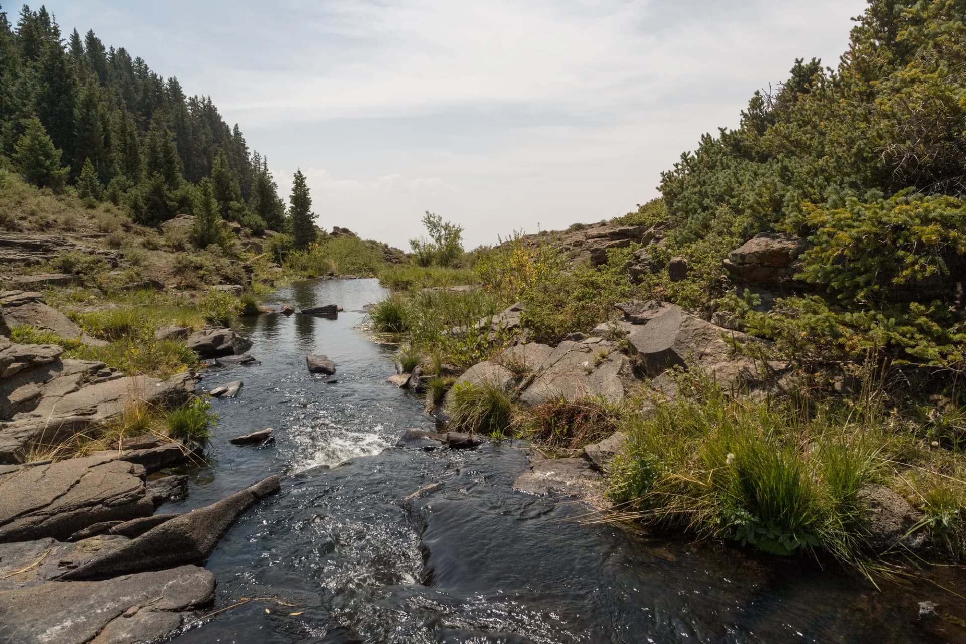
The Pelican Canyon Trail (4.2 miles, moderate) drops into a quiet canyon south of Fish Lake, following a seasonal creek through cottonwood and oak before climbing back to the plateau rim.
The Mount Terrill Summit (7.4 miles, strenuous) ascends to the highest point on the Fishlake Plateau at 11,631 feet. The upper mile crosses open tundra with 360-degree views on clear days. This trail demands good physical condition and attention to afternoon thunderstorm windows.
The Fremont River Canyon Hike (6.6 miles, moderate) follows the upper Fremont River through a riparian corridor popular with fly fishers, connecting several dispersed camping areas along the way.
The Thousand Lake Mountain Loop (8.8 miles, moderate-hard) circumnavigates the flanks of Thousand Lake Mountain, passing through old-growth spruce-fir forest and offering glimpses of the Waterpocket Fold country to the southeast.
Permits and Passes
Day hiking and dispersed camping in Fishlake National Forest require no permit and no fee as of 2026. Developed campground sites at Fish Lake and throughout the forest require a reservation fee paid through Recreation.gov.
The America the Beautiful Annual Pass covers entrance and standard amenity fees at all federal recreation sites. Holders of the Military Annual Pass or Access Pass receive free day-use access. Veterans and active-duty service members can review full federal land benefits at /learn/america-the-beautiful-pass-veterans and /learn/veteran-benefits-national-forests.
No dispersed camping permit is required as of 2026. Campers should follow Leave No Trace principles and camp at least 200 feet from water sources, roads, and developed recreation sites.
Camping
Mackinaw Campground is the largest developed site at Fish Lake, with 70 sites near the north shore. It offers flush toilets and a dump station and stays open from May through October. Reservations are strongly recommended for summer weekends.
Bowery Haven Resort Area (43 sites) sits at the south end of Fish Lake and books up quickly in July and August. The campground is adjacent to the resort marina, making it the best choice for anglers who want easy lake access.
Doctor Creek Campground (31 sites) on the lake's east side is smaller and quieter than Mackinaw. It operates from June through September and fills on holiday weekends. Many sites have direct sight lines to the water.
Frying Pan Campground (11 sites) near the Fremont River corridor serves dispersed-style campers who want a smaller, more rustic experience. Sites are first-come, first-served at $18/night (as of 2026).
When to Visit
June through July is the prime window for most visitors. Snowmelt fills the streams, wildflowers are at peak, and daytime temperatures on the plateau stay comfortable in the 60s and low 70s. The lake warms enough for non-motorized boating, and fishing is excellent in early summer.
August through September brings slightly warmer afternoons and the first hints of fall color in the aspen groves. Afternoon thunderstorms are common in August, so plan high-elevation hikes for morning hours.
October is the most dramatic month for aspen color. The plateau turns gold and orange, and visitor numbers drop sharply after Labor Day. Nights dip below freezing by mid-October, so cold-weather camping gear is needed.
November through May, the forest transitions to a winter recreation destination. Fish Lake Highway may close temporarily after heavy snow. Cross-country skiers and snowshoers find reliable conditions from December through March on the plateau terrain.
Getting There
From Richfield (30 miles, 40 minutes): Take I-70 east to Exit 23, then follow UT-24 south and east to UT-25 north into the Fish Lake area. Richfield has the closest full-service amenities including gas, groceries, and lodging.
From Provo (145 miles, 2 hours 15 minutes): Head south on I-15 to Fillmore, then east on UT-100 to Richfield, continuing as above. The drive crosses the high desert valleys of central Utah.
From Salt Lake City (200 miles, 3 hours): Follow I-15 south to Nephi, then US-89 south to Sevier and on to Richfield. From Richfield, follow the Richfield directions above.
Practical Tips
Wildlife is abundant throughout the forest. Mule deer are common near the lake and in the meadows. Black bears range through the forest, particularly in berry season from late July through September. Storing food properly and reviewing USFS bear awareness guidelines before your trip is worthwhile. Learn how to check current conditions at /learn/checking-conditions-before-you-go.
Afternoon thunderstorms are a reliable summer pattern on the plateau, typically building between noon and 3 p.m. Start high-elevation hikes early and plan to be below treeline by early afternoon. Lightning exposure on open ridgelines is a serious concern.
Water from Fish Lake and the surrounding streams requires treatment before drinking. Many hikers carry a filter or purification tablets. Individual needs vary, but most hikers on moderate routes consider carrying at least a liter per hour of expected exertion.
The Fish Lake area has no cell service from most carriers. Download offline maps and let someone know your itinerary before heading out. Practice Leave No Trace principles on every outing: details at /learn/leave-no-trace-7-principles.