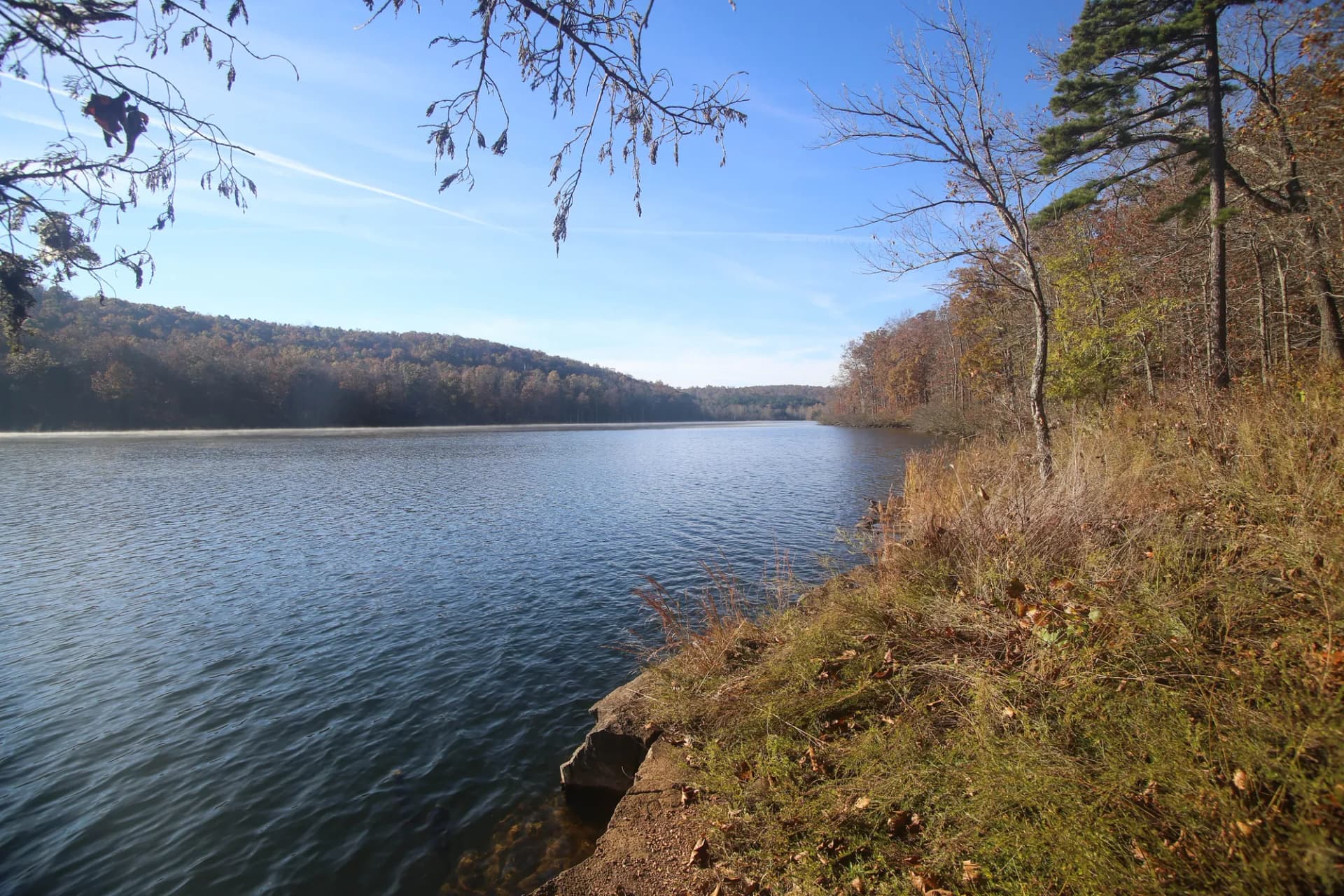
Chequamegon-Nicolet National Forest is Wisconsin's northwoods at its most expansive. Stretching across 1.5 million acres in the northern third of the state, the combined forest (formed by the merger of two separate national forests in 1993) offers more lakes, rivers, and wetlands than almost any other forest in the national system. This is glacially shaped terrain: shallow lakes tucked into kettle depressions, rivers that meander through stands of sugar maple and yellow birch, and ridges covered in dense boreal forest. The scenery is understated compared to mountain destinations out west, but the quiet is deeper, the solitude more reliable, and the fishing exceptional.
The Chequamegon (pronounced shuh-WAH-muh-gun) portion in the west covers three ranger districts around Washburn, Medford, and Park Falls. The Nicolet portion in the east fans out from the Eagle River and Florence areas. Together they form a continuous 1.5-million-acre block that protects some of the most intact northwoods habitat remaining in the Great Lakes region. Loons call across morning lakes. Black bears work through berry patches in late summer. Wolves reestablished after decades of absence maintain territories in the more remote sections.
The forest is accessible to millions of people within a day's drive. Milwaukee, Minneapolis, Chicago, and Madison are all within a few hours. Yet the interior lake country and wilderness areas feel genuinely remote once you're away from the highway corridors. That combination of accessibility and wildness makes Chequamegon-Nicolet one of the most visited national forests in the eastern United States.
Why Chequamegon-Nicolet Stands Out
Three Federally Designated Wilderness Areas
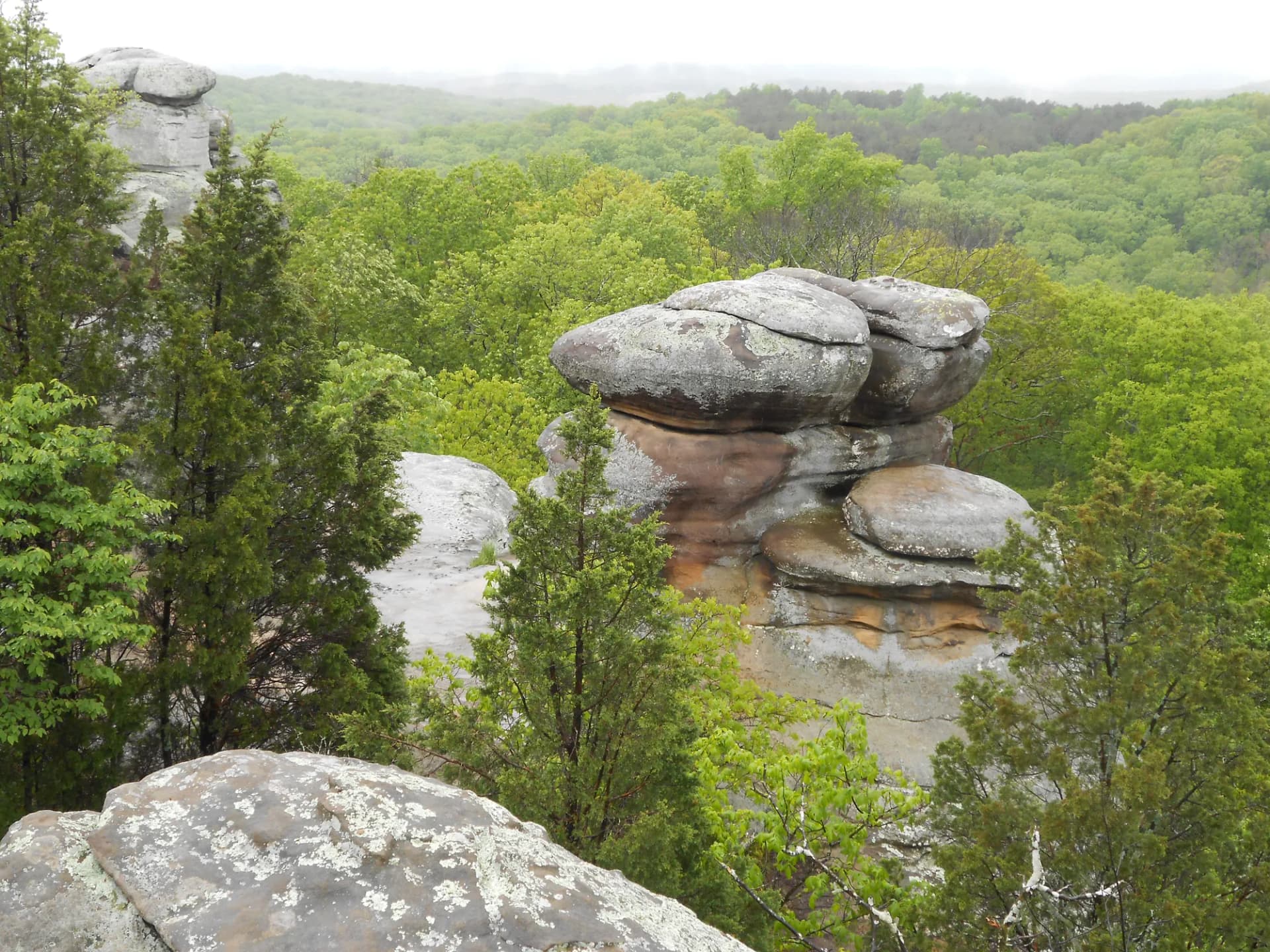
The forest protects three wilderness areas that receive no motorized use and minimal management: Rainbow Lake Wilderness (6,580 acres), Porcupine Lake Wilderness (4,446 acres), and Headwaters Wilderness (20,000 acres). These are not dramatic mountain wildernesses no peaks, no exposed ridgelines but the dense forest and remote lakes create a genuine sense of isolation that is increasingly rare in the Midwest. The Rainbow Lake Wilderness Loop and Porcupine Lake Wilderness Loop offer approachable introductions to these protected areas.
An Extraordinary Lake and River Network
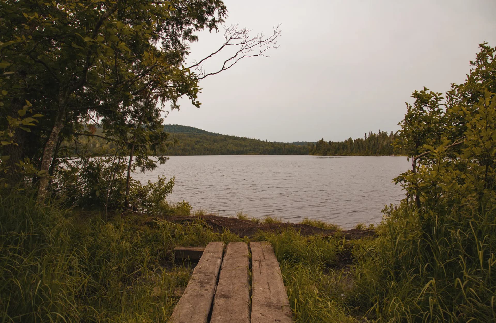
Over 900 lakes dot the forest, ranging from tiny kettles barely large enough to canoe to sprawling bodies like Namekagon Lake. The forest also contains 1,400 miles of rivers and streams, many of them designated Wild and Scenic. The Namekagon River is a federally protected Wild and Scenic River and a premier canoe route. The Flambeau River State Forest borders the forest on the south, extending the paddling and fishing corridor. Anglers come for muskellunge, walleye, and smallmouth bass in waters that rarely see the pressure of better-known fishing destinations.
The North Country National Scenic Trail
The 4,800-mile North Country Trail, the longest of America's national scenic trails, threads through the Chequamegon portion for over 60 miles. The North Country Trail section in the forest passes through rolling northwoods terrain between trailheads off Forest Road 173 and Highway 77, giving hikers and backpackers access to a long-distance trail that connects the Great Plains to the Adirondacks. The forest portion is notably flat by national scenic trail standards, making it accessible for less experienced backpackers.
Best Trails in Chequamegon-Nicolet
The forest has roughly 800 miles of trails covering everything from gentle lake loops to longer wilderness traverses. Most trails are flat to gently rolling by design this is glaciated lake country, not mountain terrain.
The North Country Trail Section is the forest's most recognized hiking corridor, covering 10 miles of northwoods terrain with gentle grades and consistent tree cover. It works well as a day hike or overnight with dispersed camping. The Rainbow Lake Wilderness Loop is an 8-mile circuit through one of the forest's three wilderness areas, passing several backcountry lakes with minimal elevation change. For something shorter, the Mount Valhalla Loop covers 4 miles around the Valhalla area near Washburn with pleasant views. The West Fork Chippewa River Trail follows the river corridor through dense hardwood forest for 7 miles out and back.
For an introduction to the Porcupine Lake Wilderness, the Porcupine Lake Wilderness Loop covers 4 miles around a glacial lake with excellent bird-watching opportunities. The Pines and Mines Trail Loop takes its name from the region's logging and mining history and connects several interpretive points across 5 miles.
Permits and Passes
Most trails and dispersed camping areas in Chequamegon-Nicolet are free and do not require advance permits. Developed campground fees apply (as of 2026), and reservations are recommended for popular sites in summer. Some OHV areas and shooting ranges require self-issue permits or fees.
The America the Beautiful pass covers day-use fees at participating recreation areas. If you hold a veteran or military pass, the fee waiver or discount may apply see the veteran benefits guide for details on the Access Pass and Military Annual Pass programs.
For updated permit information, contact the appropriate ranger district directly or check the USFS website. Always check conditions before you go, particularly in shoulder seasons when some forest roads may be closed or gated.
Camping
The forest has over 30 developed campgrounds with electric and non-electric sites. Namekagon Campground on the Namekagon River is one of the most popular, with 33 sites near excellent fishing and paddling. Day Lake Campground near Clam Lake offers 60 sites and easy lake access. Reservations are available through Recreation.gov (as of 2026) and are strongly recommended for weekend visits in July and August.
Dispersed camping is permitted throughout most of the forest at no cost, with no permit required. Standard Leave No Trace principles apply: camp at least 200 feet from water sources, pack out all waste, and avoid camping in areas showing existing impact. Fires are permitted in established rings or where conditions allow, but check current fire restrictions before your trip.
When to Visit
Summer (June through August) brings warm temperatures, accessible trails, and long days but also mosquitoes and biting flies, which can be intense in June and early July near water. Insect repellent is worth packing. Late July through September is the sweet spot: flies diminish, blueberries and blackberries are ripe, and the lakes warm enough for swimming.
Fall arrives early in northern Wisconsin. Colors typically peak in the last week of September and first week of October, and the forest is spectacular during this period. Hunting season opens in mid-September for some species, so consider blaze orange if hiking during September through November. Winter brings heavy snowfall (80-120 inches annually) and the forest becomes a destination for cross-country skiing, snowshoeing, and snowmobile riding. Many trails are groomed for winter use.
Getting There
The forest straddles US Highway 8 in the east and west, with US Highway 2 forming the northern edge and Wisconsin Highway 64 running through the southern portions. The nearest significant cities are Rhinelander and Ashland. From the Twin Cities, take I-35 north to US-8 east. From Milwaukee, take US-41 north to Hwy 64 west. Most trailheads are marked with small Forest Service signs and are accessible via paved or well-maintained gravel roads.
Cell coverage is spotty throughout the forest interior. Download offline maps before your trip. Check road conditions in spring (April through May) when frost heaves and snowmelt can close or damage forest roads.
Practical Tips
Mosquitoes and blackflies are a real consideration from late May through early July. Pack head nets and DEET-based repellent if visiting near water in those months. Black bears are present throughout the forest follow proper food storage practices at camp and on the trail. The forest is wolf country as well; encounters are rare, but wolves are present in established packs.
Water sources are abundant in the forest, but treat all backcountry water before drinking. Lakes and streams may harbor Giardia. A filter, SteriPen, or iodine tablets covers the bases for multi-day trips.
The forest has two administrative units, each with multiple ranger districts. If you're unsure which district covers your planned destination, the USFS website has a district locator and each district has its own phone line for current conditions.
Planning Your Trip
For a first visit, the Chequamegon portion around Cable and Hayward is the most accessible and offers the best combination of trails, lakes, and campgrounds. The Northwoods town of Cable is home to the American Birkebeiner, North America's largest cross-country ski race, and the surrounding area has exceptional trail infrastructure year-round.
For a wilderness experience, target the Rainbow Lake or Porcupine Lake Wilderness areas in the Chequamegon portion, or the Headwaters Wilderness in the Nicolet portion near Eagle River. These areas see modest backcountry traffic even in summer and offer the quietest experience in the forest.
See the national forests vs. national parks guide for an overview of how national forest rules and access differ from national parks particularly around dispersed camping and off-road vehicle use, which is a significant part of the culture in Chequamegon-Nicolet.