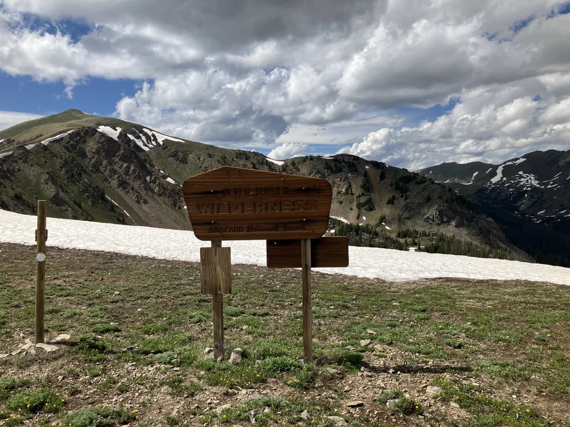
The Grand Mesa, Uncompahgre and Gunnison National Forests cover 3.1 million acres of western Colorado's most varied terrain. The administrative unit combines three geographically distinct forests: Grand Mesa in the northwest, the Uncompahgre in the southwest, and the Gunnison in the central and east. Together they span high-altitude lake plateaus, volcanic wilderness areas, a pair of wilderness-designated 14er complexes, and the agricultural valleys that separate them.
Grand Mesa is the most immediately accessible and visually distinctive component. The world's largest flat-top mountain rises to just over 10,000 feet above the surrounding desert valleys, its broad surface dotted with more than 300 lakes and reservoirs. The contrast between the mesa's lake-covered plateau and the hot, dry terrain of the Grand Valley below is striking and unusual. Colorado Highway 65 crosses the mesa from north to south, providing paved access to dozens of trailheads, campgrounds, and fishing spots.
The Uncompahgre section encompasses the Uncompahgre Plateau and the southern highlands around Ouray and Montrose, including access to Uncompahgre Peak (14,309 ft), the highest summit in the San Juan range, and the dramatic Mount Sneffels Wilderness above the Ouray corridor. The Gunnison section surrounds the city of Gunnison and extends east and south to encompass the West Elk Wilderness and the terrain adjacent to Curecanti National Recreation Area.
Why This Forest Stands Out
Grand Mesa's lake plateau is genuinely unusual in the American West. Over 300 lakes occupy a flat volcanic surface at 10,000 feet, most of them fishable, many accessible by short hikes from the highway. The mesa was formed by a thick cap of basalt that protected the underlying softer rock from erosion, leaving the plateau standing above the eroded valleys on all sides. The combination of high elevation, abundant water, and easy access makes it a consistent destination for fishing, camping, and casual hiking.
World-class 14er access exists at both ends of the GMUG complex. Uncompahgre Peak (14,309 ft) is the sixth-highest summit in Colorado and one of the more accessible 14ers for hikers with the right vehicle to reach the upper trailhead. Mount Sneffels (14,150 ft), accessed via Blue Lakes Pass, offers one of the most scenic approaches to any Colorado 14er, with the Blue Lakes basin providing a spectacular setting even for hikers who turn around before the summit. Both peaks are within the administrative boundary of the GMUG forests.
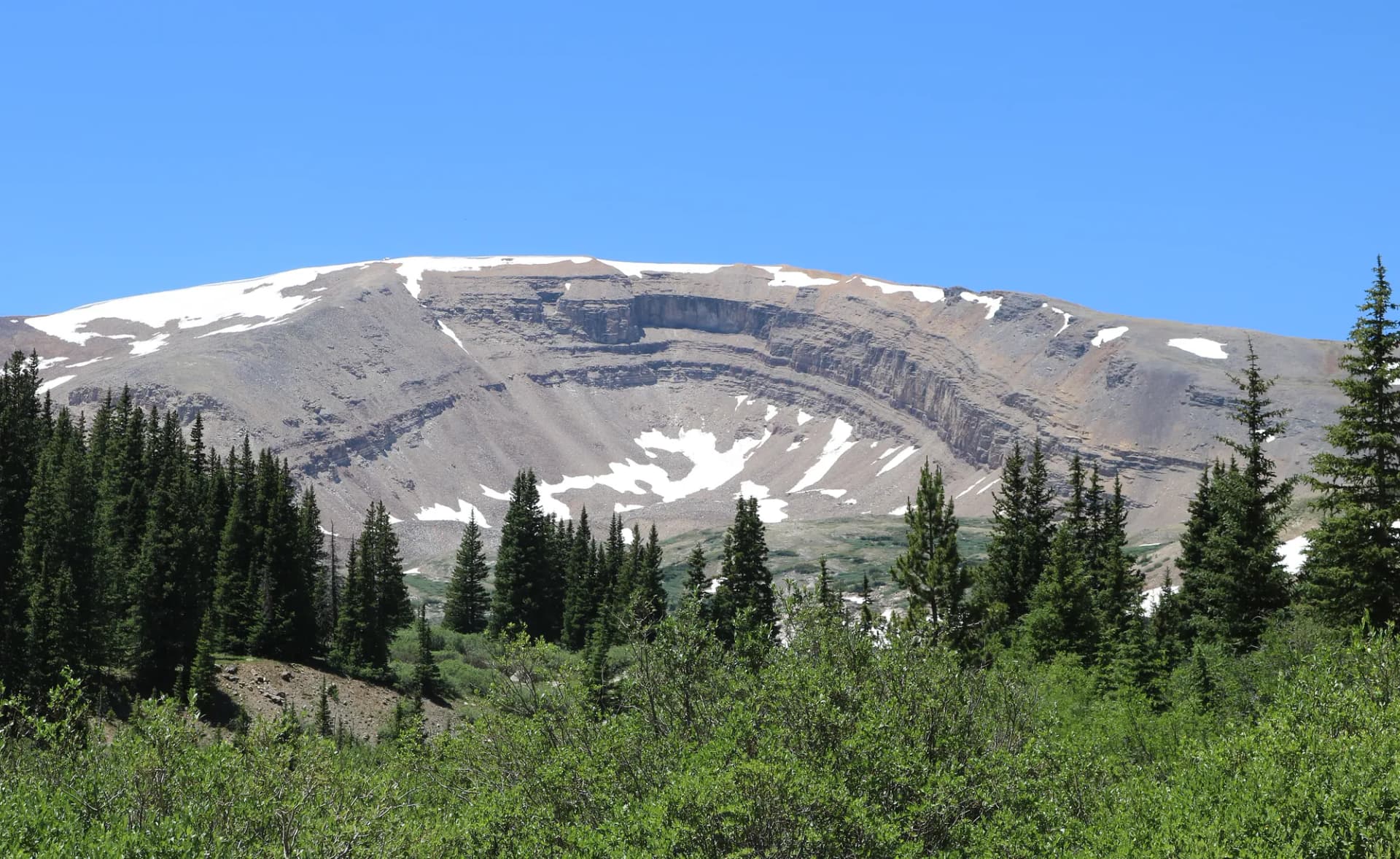
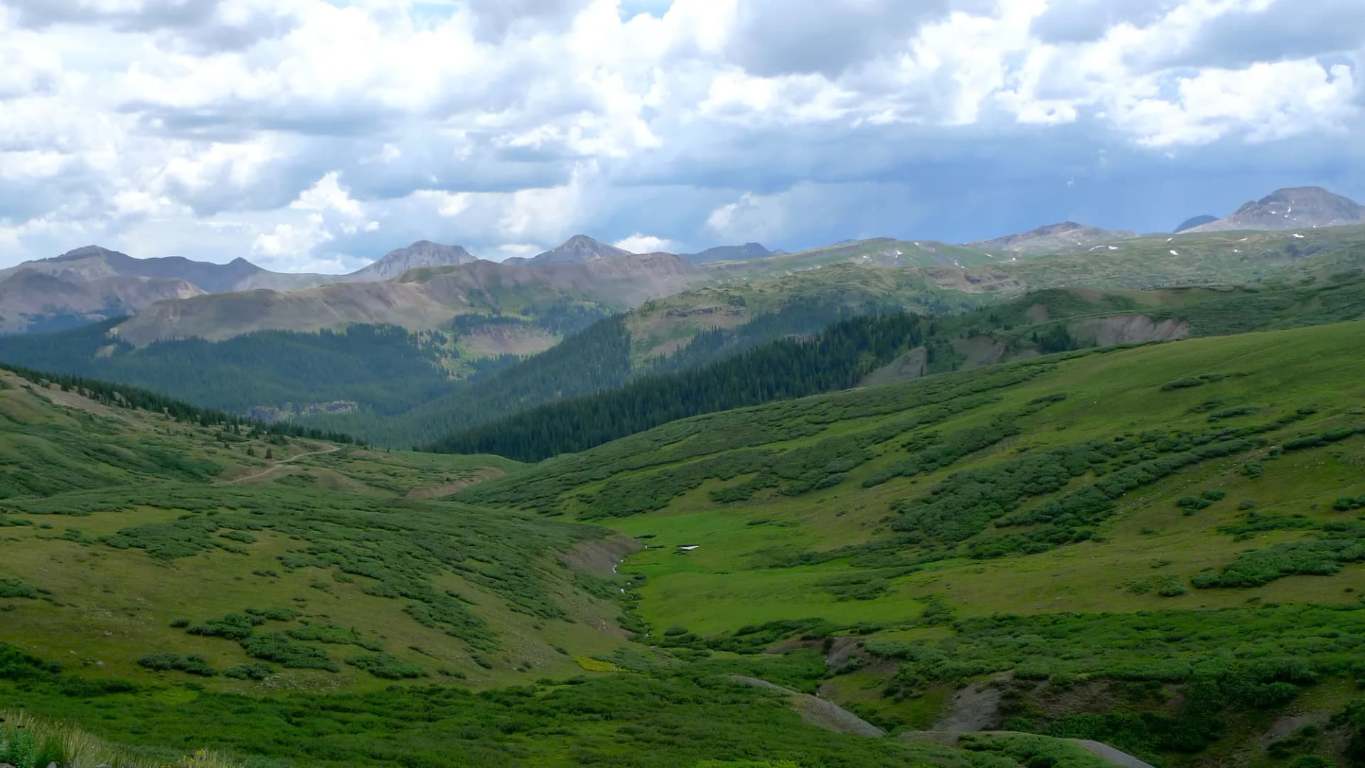
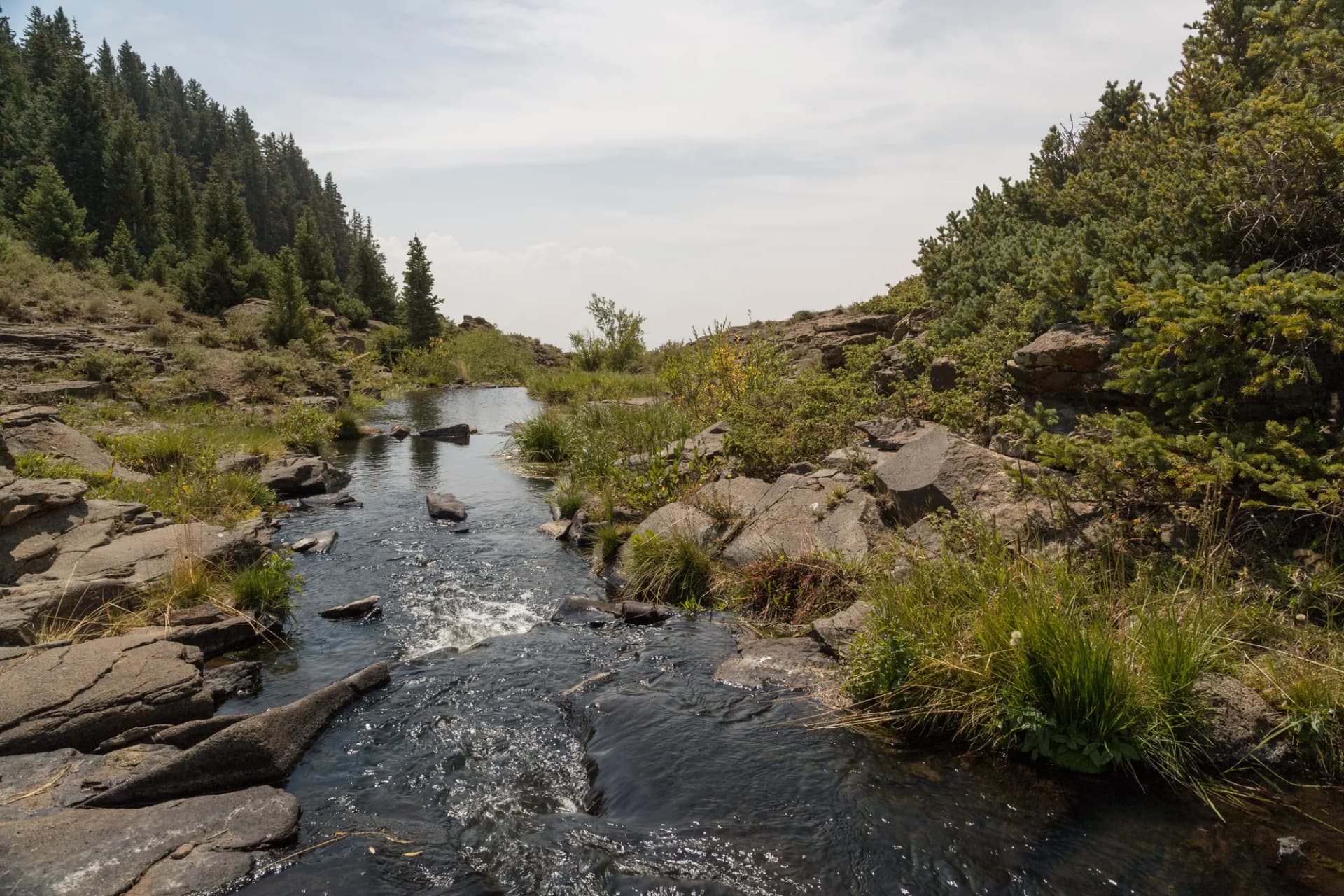
The West Elk Wilderness provides 176,172 acres of remote volcanic backcountry northeast of Gunnison. The terrain here is characterized by eroded volcanic features, mesas, buttes, and mud hills, that give it a more barren and otherworldly character than the green, forested wilderness areas to the south. The wilderness is lightly visited relative to its size, making it an excellent destination for hikers seeking genuine solitude on multi-day routes.
Best Trails in Grand Mesa, Uncompahgre and Gunnison National Forest
Crag Crest National Recreation Trail is the signature walk on Grand Mesa, covering 10.6 miles of loop trail along the mesa's highest ridge at around 11,200 feet. The views from the crest extend to the Book Cliffs, the Elk Mountains, and the San Juan Range on clear days. This is the best overall hike on the mesa and suitable for most fit hikers.
Mount Sneffels via Blue Lakes Pass provides access to one of Colorado's most photographed 14ers. The 8.5-mile round trip gains 3,100 feet and passes through the Blue Lakes basin, a stunning alpine cirque that draws hikers who never intend to reach the summit.
Uncompahgre Peak is the highest summit accessible from the GMUG forests. The 7.5-mile round trip from Nellie Creek is rated strenuous with 2,900 feet of gain, but the route itself is largely non-technical on Class 2 terrain. A high-clearance 4WD vehicle is needed for the upper trailhead.
West Elk Wilderness Trail enters the wilderness northeast of Gunnison and provides a 12-mile sample of the remote volcanic landscape. This route is for hikers comfortable with limited infrastructure and genuine backcountry.
The Land O Lakes Scenic Area and the Grand Mesa Loop are strong options for casual hikers and families exploring the mesa.
Permits and Passes
No day-use fee or wilderness permit is currently required for most GMUG trailheads (as of 2026). Campfire permits are required and are free self-issue forms available at trailheads and ranger stations. Some developed recreation sites charge day-use fees.
The America the Beautiful Annual Pass covers fees at any fee-charging sites in the forest. Veterans may qualify for free passes. See veteran benefits for national forests for details.
Always check current permit and fee requirements before your trip, as fee structures change.
Camping
Island Lake Campground on Grand Mesa offers 41 sites near one of the mesa's most scenic lakes, with reservations available through Recreation.gov. Amphitheater Campground near Ouray provides a popular base for Uncompahgre and Sneffels trips. Both fill quickly in July and August.
Dispersed camping is permitted in most of the forest outside designated campgrounds, following standard 300-foot setbacks from water and 200-foot setbacks from trails. See how to get a national forest camping permit for the procedures.
When to Visit
July through September is the reliable window for high-altitude hiking throughout the GMUG forests. Grand Mesa's lower elevation (10,000 ft on the plateau) extends the season slightly, the mesa is typically accessible from late June and remains open through October. The 14er routes are best in July and August, though September often brings the most stable weather.
Fall color on Grand Mesa runs from late September through mid-October, with aspen groves providing excellent color visible from the highway. The Uncompahgre corridor near Ouray and Ridgway also has exceptional fall aspen.
Getting There
The GMUG forests are accessible from multiple gateway towns. Grand Mesa is entered from Grand Junction to the north or Delta to the west via CO-65. Uncompahgre terrain around Ouray and Ridgway is reached via US-550. The Gunnison section is accessed from Gunnison on US-50. Denver to Gunnison is about 200 miles (3.5 hours) via US-285 and US-50. Grand Junction is served by Grand Junction Regional Airport (GJT).
Practical Tips
The GMUG Supervisor's Office is located in Delta, with ranger district offices in Grand Junction (Grand Mesa), Montrose (Uncompahgre), and Gunnison (Gunnison). Contact the appropriate district for current road and trail conditions before your visit.
Cell service is limited or absent on Grand Mesa and in the backcountry sections of the Uncompahgre and West Elk Wilderness. Download offline maps before heading out. The GMUG National Forests website provides current fire restrictions and road closures.
Planning Your Trip
The GMUG forests cover geographically distant terrain, Grand Mesa to the northwest, the Uncompahgre highlands to the southwest, and the Gunnison section in the center, so planning around a specific region or trailhead is more practical than trying to cover all three in a single trip.
For those new to national forest travel, national forest vs. national park covers the key differences. Leave No Trace principles are important throughout, particularly in the wilderness areas.