Rio Grande National Forest covers the mountain rim of the San Luis Valley in southern Colorado, a broad, high-altitude basin that is itself unusual, one of the highest and largest alpine valleys in the world at roughly 7,500 feet. The forest that encircles it on three sides climbs from the valley floor through ponderosa pine and aspen to subalpine spruce-fir, reaching the Continental Divide along the western and southern edges. The headwaters of the Rio Grande itself originate within the forest, high in the volcanic highlands above Creede.
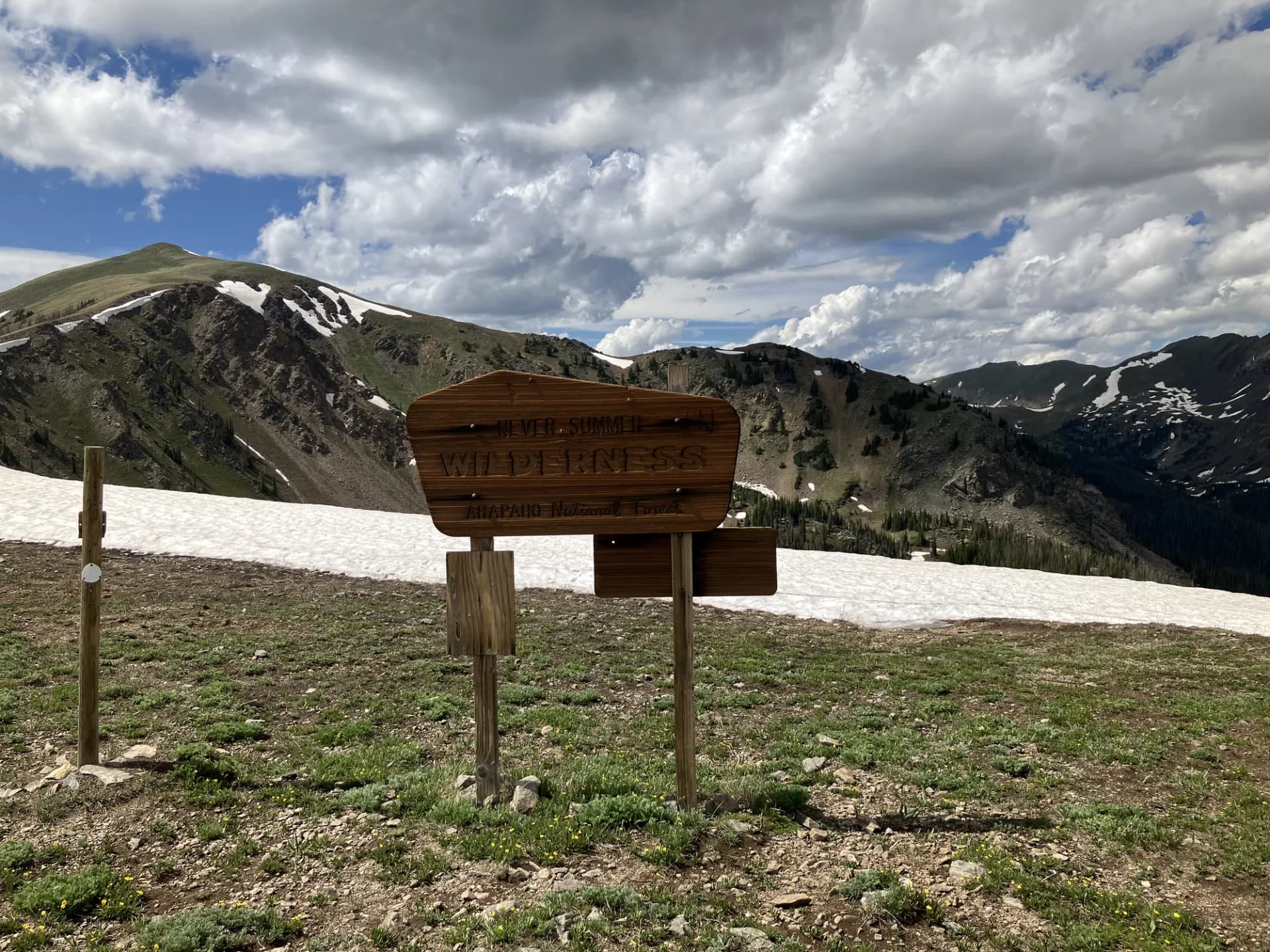
The forest is less visited than its neighbors to the west (San Juan National Forest) and draws a quieter, more self-reliant crowd. Three wilderness areas, South San Juan, La Garita, and the shared Weminuche boundary, protect some of the most remote terrain in Colorado. The South San Juan Wilderness in particular is genuinely difficult to reach, which keeps it wild and uncrowded. The Wheeler Geologic Area, accessible only by foot or horse on a 14-mile round trip, is one of the most unusual landforms in the Rocky Mountain West.
The mining history here is visible and layered. Creede was a silver boomtown in the 1890s, famous enough to attract notoriety and violence. The Summitville gold mining site higher in the mountains became one of Colorado's most serious environmental contamination cases in the 1990s, with remediation ongoing. Both sites can be visited, and they add historical context to an otherwise wild landscape.
Why Rio Grande Stands Out
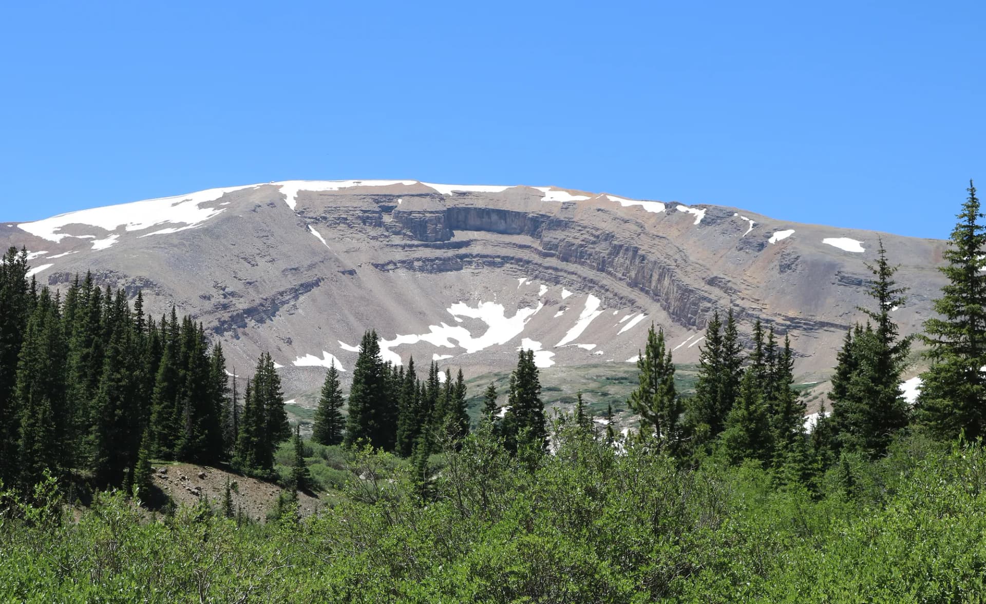
Wheeler Geologic Area is the most unusual destination in the forest. The volcanic rhyolitic ash deposits of the San Juan volcanic field eroded over millions of years into a concentrated landscape of spires, pinnacles, columns, and hoodoos that look more like something from the American Southwest desert than the Colorado Rockies. The area is genuinely remote, accessible only by a 14-mile round trip on foot or horseback, or via an extremely rough 4WD track, which preserves the sense of discovery. It was a National Monument briefly before being transferred to USFS management.
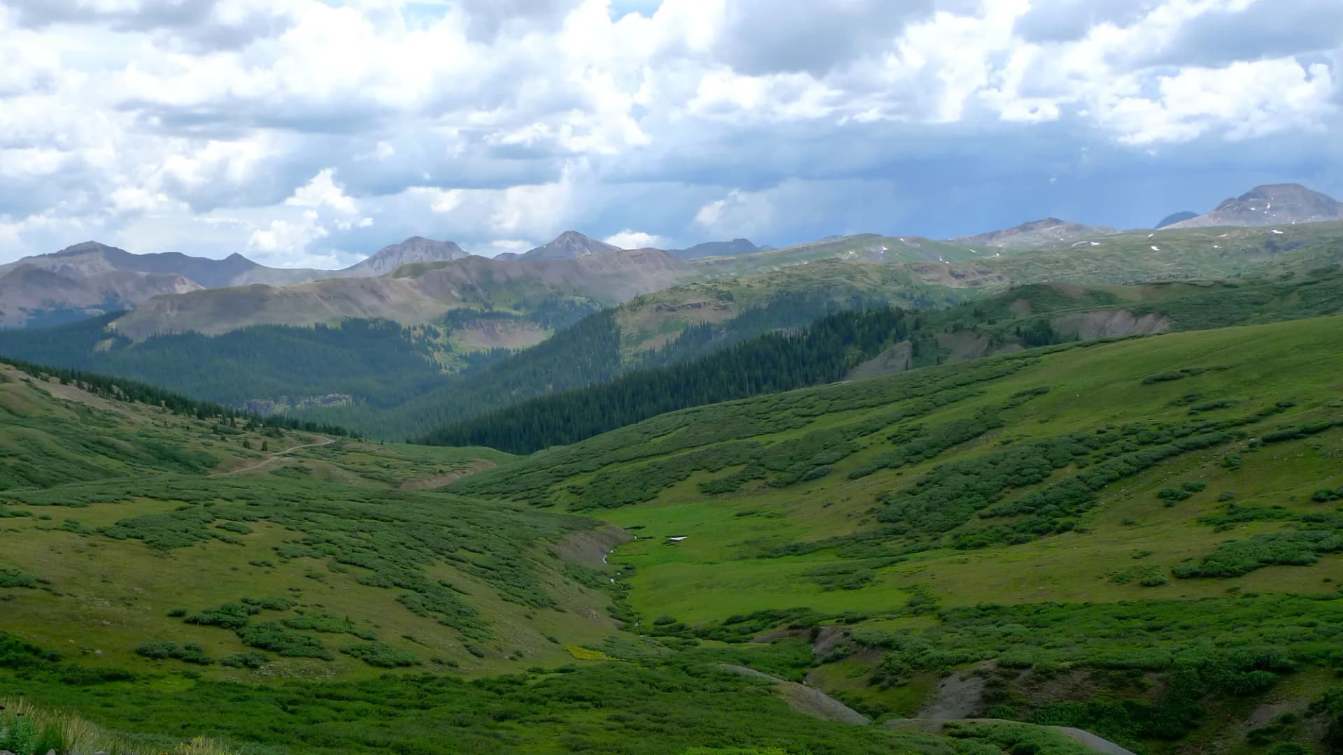
The South San Juan Wilderness covers 158,790 acres in the southern portion of the forest, with terrain that includes high volcanic plateaus, deep river canyons, and some of the most undisturbed wildlife habitat in Colorado. The wilderness sees a fraction of the use of the neighboring Weminuche despite comparable size and scenery. The Continental Divide Trail crosses through it, connecting hikers to long-distance routes north and south.
La Garita Wilderness to the northwest covers 129,626 acres anchored by the volcanic terrain of La Garita Creek and the Stewart Creek drainage. The Caldera boundary of the San Juan volcanic field runs through this wilderness, the entire landscape here is the product of a supervolcano system active 25 to 30 million years ago. The Wheeler Geologic Area sits within La Garita Wilderness.
Best Trails in Rio Grande National Forest
Wheeler Geologic Area is the signature destination, reached by a 14-mile out-and-back from the Pool Table Road trailhead. The moderate-to-hard rating comes from the distance and route-finding challenges rather than extreme elevation gain. The volcanic formations at the center of the La Garita Wilderness are worth the effort.
CDT South San Juans Section follows the Continental Divide Trail through the South San Juan Wilderness on a 10-mile out-and-back. This route samples the high, remote terrain of the southern wilderness. The views from the divide are expansive and the wildlife presence is significant.
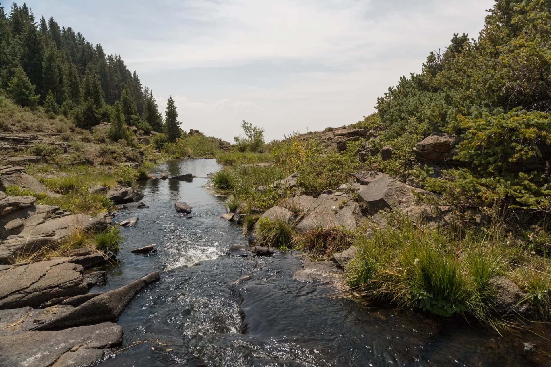
South Fork Rio Grande Trail provides an accessible 7-mile introduction to the forest's river corridor, following the South Fork of the Rio Grande through mixed forest with good fishing access. A good option for visitors who want a relaxed day in the forest without demanding terrain.
Summitville Lake Trail climbs to an alpine lake in the upper mining district, offering historical context alongside the high-altitude scenery.
Permits and Passes
No permit fee is currently required for day hiking or overnight camping in Rio Grande National Forest wilderness areas (as of 2026). Campfire permits are required and free. The America the Beautiful pass covers any fee-based recreation sites. Veterans may qualify for free lifetime passes; see veteran benefits for national forests.
Always verify current requirements before your trip, particularly for the South San Juan Wilderness where access conditions can change with trail and road maintenance.
Camping
Rio Grande National Forest has numerous smaller campgrounds spread throughout the forest, with most in the 10-25 site range. River Hill Campground near South Fork is one of the larger reservable options. Palisade and Bristol Head campgrounds are first-come, first-served.
Dispersed camping is permitted throughout the forest following the standard setbacks. The Creede Ranger District and Divide Ranger District manage the respective portions of the forest; contact either for current dispersed camping guidance. For an overview of camping procedures, see how to get a national forest camping permit.
When to Visit
June through September. The high volcanic plateaus can remain snowy into early July in heavy snow years. Trails at mid-elevation (8,000-10,000 ft) are typically accessible by late May or early June. Fall color from the aspen groves peaks in late September to mid-October and is excellent throughout the forest.
Afternoon thunderstorms are common in July and August. The volcanic plateau terrain offers limited shelter on exposed routes. Plan to be off exposed ridges and plateaus before midday when storms are building.
Getting There
US-160 connects Alamosa, Del Norte, and South Fork along the southern edge of the forest. South Fork is the primary access point for the upper Rio Grande area and the Creede corridor. From Denver, take US-285 south to Monte Vista or Alamosa (approximately 230 miles, 3.5 hours), then US-160 west to South Fork. From Albuquerque, take US-550 north to Durango, then CO-149 north to Creede (roughly 250 miles, 4 hours).
Creede is accessible from South Fork via CO-149 heading north, a scenic highway that passes through the Rio Grande Gorge.
Practical Tips
The Divide Ranger District office in Del Norte and the Creede Ranger District office in Creede are the primary contacts for current conditions. Both can provide trail maps, campfire permits, and road condition updates.
The Summitville area contains legacy contamination from historic mining operations. Follow all posted guidelines regarding water sources in that area. Do not drink from streams in the immediate Summitville vicinity without checking current conditions with the ranger district.
Cell service is limited throughout much of the forest. Download offline maps before visiting. The La Garita and South San Juan Wilderness areas have no cell coverage at all.
Planning Your Trip
Leave No Trace principles are especially important in the La Garita and South San Juan Wilderness areas, which have fragile volcanic soils and light infrastructure. Checking conditions before any trip into the wilderness is valuable, the ranger districts can advise on current trail status and access roads.
For those new to national forest camping and travel, national forest vs. national park explains the key differences in access, fees, and what to expect from USDA Forest Service lands.