Humboldt-Toiyabe National Forest is unlike any other national forest in the contiguous United States. At 6.3 million acres, it is not a single contiguous forest but a collection of mountain ranges scattered across Nevada's Basin and Range landscape, each range an island of cooler, wetter forest rising above the surrounding desert basins. The forest encompasses the Spring Mountains near Las Vegas, the Toiyabe and Toquima ranges in central Nevada, the Ruby Mountains in the northeast, portions of the Sierra Nevada along the California border, and several other ranges, unified under a single administrative structure that spans more than 500 miles of Nevada's geography.
This unusual geography means that visiting Humboldt-Toiyabe National Forest requires picking a specific destination among many that are separated by hours of desert driving. The Spring Mountains area near Las Vegas is the most visited, drawing hikers and climbers from one of the country's largest metropolitan areas. The central Nevada ranges — the Toiyabes, Toquimas, and Shoshones — are among the most remote public lands in the lower 48 states. The Ruby Mountains in northeastern Nevada are the forest's most classically alpine terrain, a compact Sierra Nevada-like range with hanging glacial cirques, granite ridgelines, and clear mountain lakes.
The forest's terrain ranges from 4,000-foot sagebrush valleys to the 11,918-foot summit of Charleston Peak, with the full spectrum of Great Basin ecology in between. Bristlecone pine, one of the longest-lived organisms on Earth, grows at the highest elevations of several of the forest's mountain ranges. Pronghorn antelope, mule deer, bighorn sheep, and mountain lions are present in different parts of the forest. For a comparison of how national forest management differs from national parks in this region, see our national forest vs. national park guide.
Why Humboldt-Toiyabe National Forest Stands Out
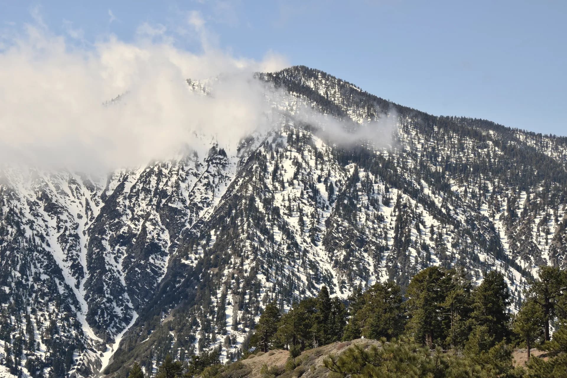
Charleston Peak and the Spring Mountains
At 11,918 feet, Charleston Peak rises nearly 10,000 feet above the Las Vegas Strip visible in the valley to the southeast. The Charleston Peak via North Loop is the most popular hike in the forest, a 10.2-mile loop gaining 4,700 feet through five distinct ecological zones. The Spring Mountains National Recreation Area within the forest also supports winter skiing, spring wildflowers, and summer temperatures 30 degrees cooler than the Las Vegas valley.
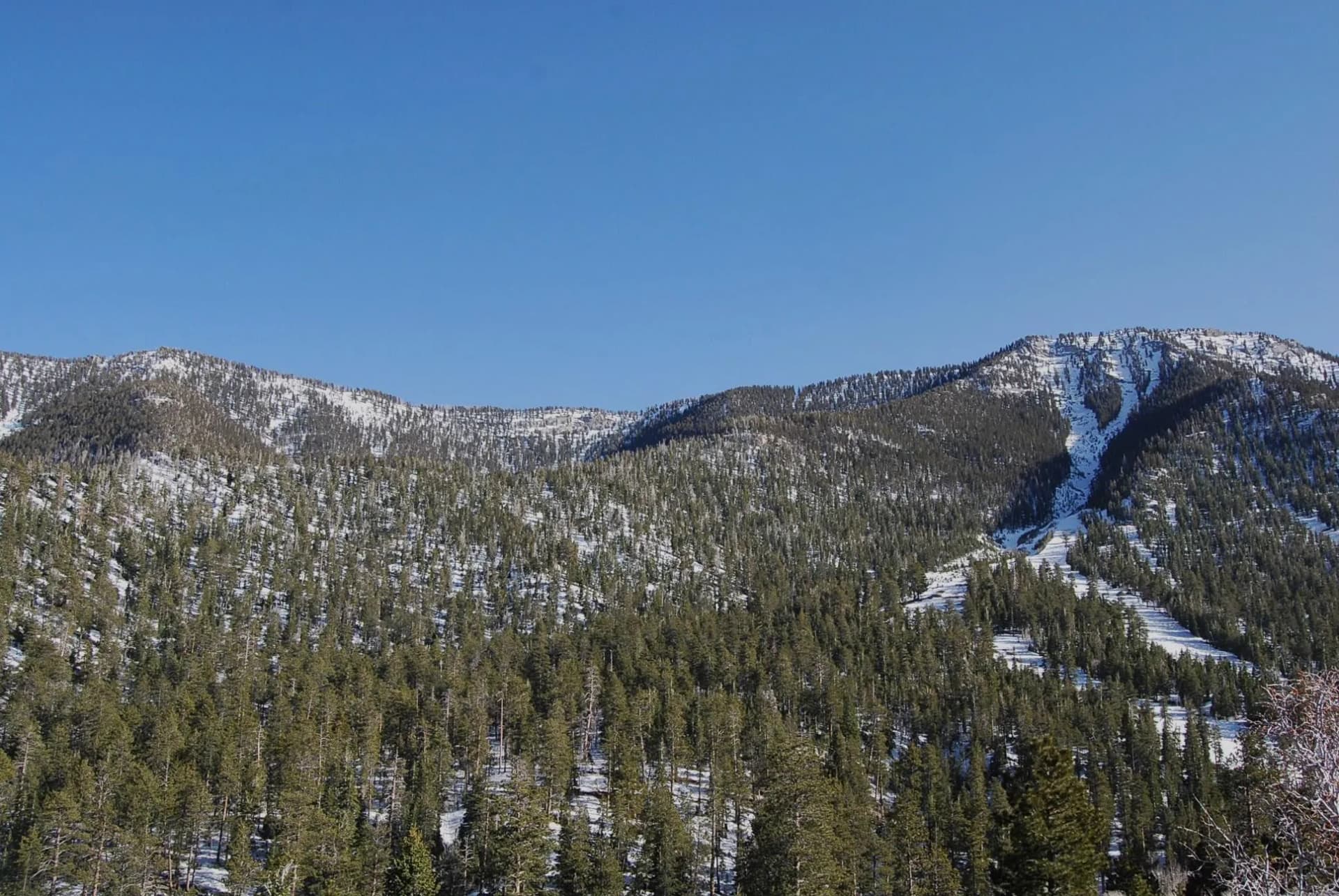
Arc Dome and the Central Nevada Wilderness
The Toiyabe Range in central Nevada contains Arc Dome Wilderness, one of the most genuinely remote wilderness areas in the lower 48 states. The nearest town with services is Austin, Nevada, population approximately 150. The Arc Dome Summit trail is a 16-mile out-and-back to the range's 11,773-foot high point, with views across hundreds of miles of Nevada's Basin and Range topography.
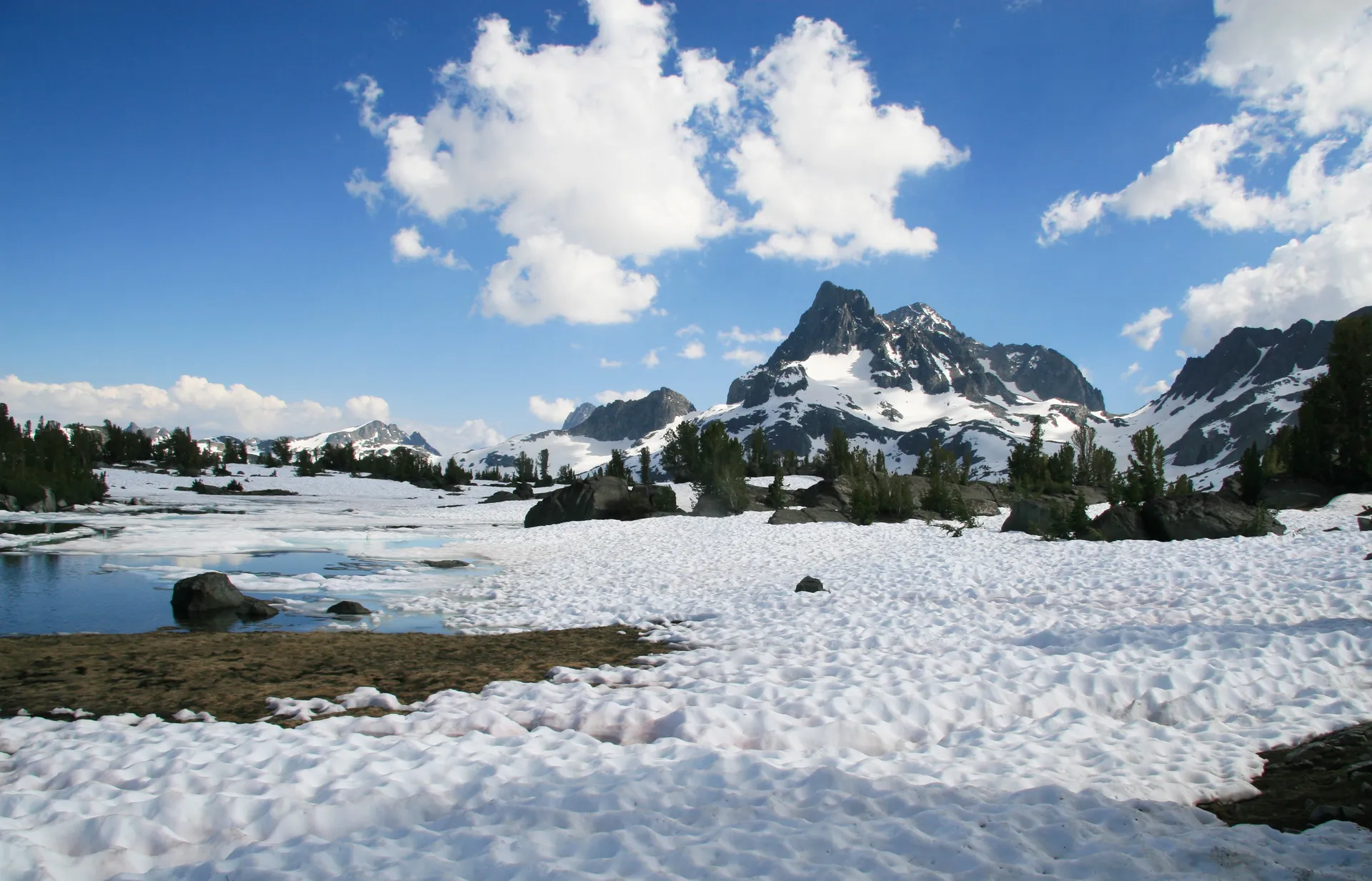
The Ruby Mountains
The Rubies are the Great Basin's finest alpine mountain range, a compact cluster of peaks, ridgelines, and glacier-carved cirques in northeastern Nevada near the town of Elko. The Island Lake via Ruby Crest route accesses the range's best scenery in a demanding 14-mile round trip. The range is less visited than comparable Sierra Nevada terrain, and the quality of the scenery is genuinely comparable.
Best Trails in Humboldt-Toiyabe National Forest
The forest's best day hikes cluster around its highest terrain. The Charleston Peak loop is the most iconic. The Arc Dome Summit is the most remote and demanding. The Bristlecone Trail is the best moderate-length hike in the Spring Mountains, reaching ancient bristlecone pines in 5.4 miles. The Galena Creek Trail near Reno provides the most accessible family-friendly option, and the Table Mountain Trail in the Toiyabe Range is the best moderate route in the forest's remote central section.
Permits and Passes
No permits are required for day hiking or overnight camping in Humboldt-Toiyabe's wilderness areas as of 2026. A free campfire permit is required for any open fire. The Spring Mountains National Recreation Area has some developed day-use fee sites; an America the Beautiful pass covers these. Veterans and service members should review our veteran benefits guide and America the Beautiful pass guide for fee coverage options.
Camping
The forest's developed campgrounds are scattered across multiple ranger districts and managed accordingly. McWilliams Campground in the Spring Mountains is the most accessible from Las Vegas. Lamoille Canyon Campground in the Ruby Mountains provides the base for most Ruby Mountain hikers. Many of the forest's central Nevada campgrounds are small, inexpensive, and first-come, first-served. For an overview of national forest camping logistics, see our camping permit guide.
When to Visit
The timing varies dramatically by district. The Spring Mountains near Las Vegas are accessible year-round at the lower trailheads, with higher routes snow-covered from November through April. Summer (June-August) is peak season for Charleston Peak; temperatures are 25 to 35 degrees cooler than Las Vegas. The Ruby Mountains and central Nevada ranges are best from late June through September. The Toiyabe Range is snowbound from November through May or June.
Getting There
The forest's multiple districts require different access routes. The Spring Mountains are reached via US Route 95 northwest from Las Vegas to State Route 157 (Kyle Canyon) or State Route 156 (Lee Canyon). The Ruby Mountains are accessed from Elko via State Route 227 south to Lamoille and Lamoille Canyon Road. The Toiyabe Range is reached via US Route 50 through Austin.
Practical Tips
- Nevada's Great Basin climate produces hot, dry summers and cold winters. Afternoon thunderstorms are a risk on all high-elevation routes from June through August.
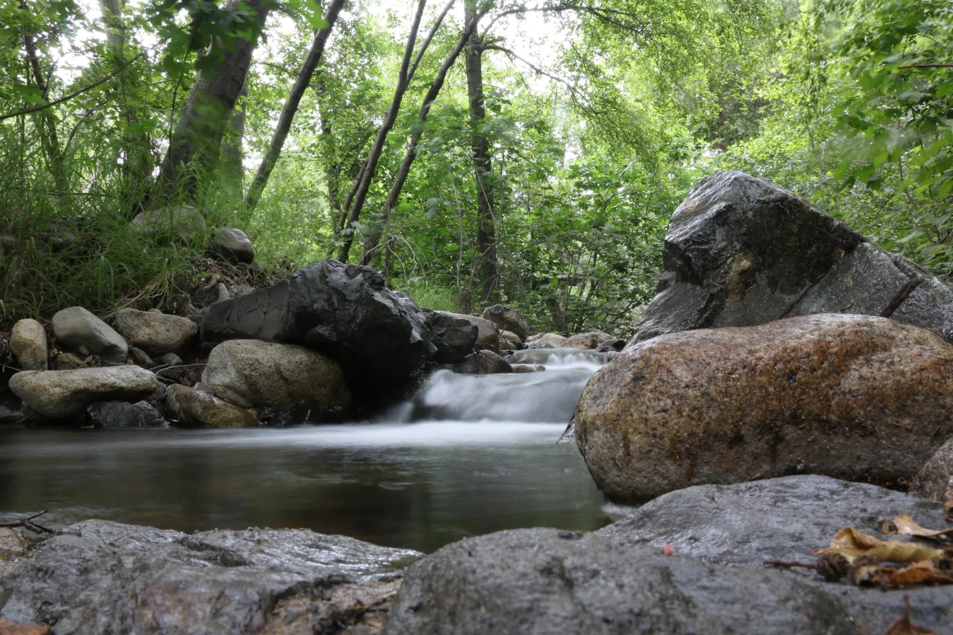
- Water is scarce in the central Nevada ranges. Many hikers carry 3 to 4 liters on full-day routes in the Toiyabes, though individual needs vary. Always confirm water availability for specific routes.
- Bears are present in the Spring Mountains and Ruby Mountains. Bear-aware food storage practices are recommended; review bear canister requirements.
- Bristlecone pines found at high elevations are protected. Do not touch, climb, or collect any part of these trees.
- Nevada has no state income tax but does have recreational land management fees at some sites. An America the Beautiful pass is the most economical option for frequent visitors.
Planning Your Trip
Humboldt-Toiyabe's scale means that a single trip cannot sample all of its character. Most visitors focus on a single district: Spring Mountains for Las Vegas visitors, Ruby Mountains for northeastern Nevada, or the Toiyabe Range for the most remote experience available. Check current conditions at the relevant ranger district office before visiting. Pre-trip condition checking is particularly important in this forest, where weather can change rapidly across the Great Basin.