Klamath National Forest occupies 1.7 million acres in the Klamath Mountains of far northern California, a region so botanically unusual that biologists rank it among the most species-diverse temperate zones on Earth. The forest stretches across Siskiyou and Humboldt counties from the Oregon border south to the upper Salmon River drainage, encompassing eight federally designated wilderness areas, several wild and scenic river corridors, and terrain that ranges from the river canyons of the lower Klamath to the high alpine rock gardens of the Russian Wilderness.
The geological history of the Klamath Mountains explains much of the region's character. Unlike the Sierra Nevada to the south, which is a relatively simple granite batholith, the Klamath Mountains are geologically ancient and complex: a jumble of volcanic, sedimentary, and metamorphic rocks that were accreted to the North American plate over hundreds of millions of years. The marble and limestone formations visible in the Marble Mountain Wilderness are among the most dramatic expressions of this geological complexity, forming cliff faces, karst terrain, and a cave system (Marble Valley Cave) that is one of the few accessible caves in a California national forest.
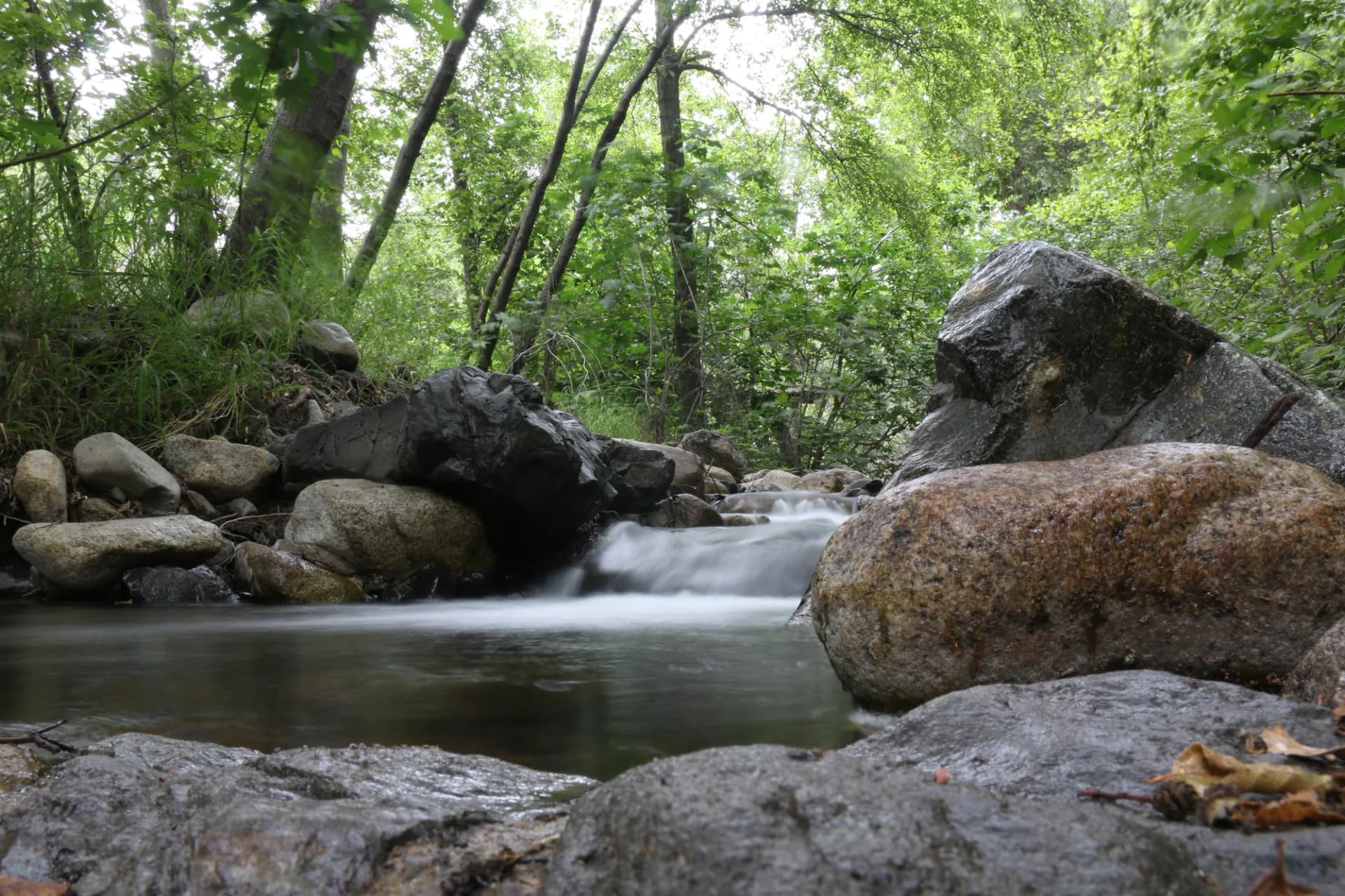
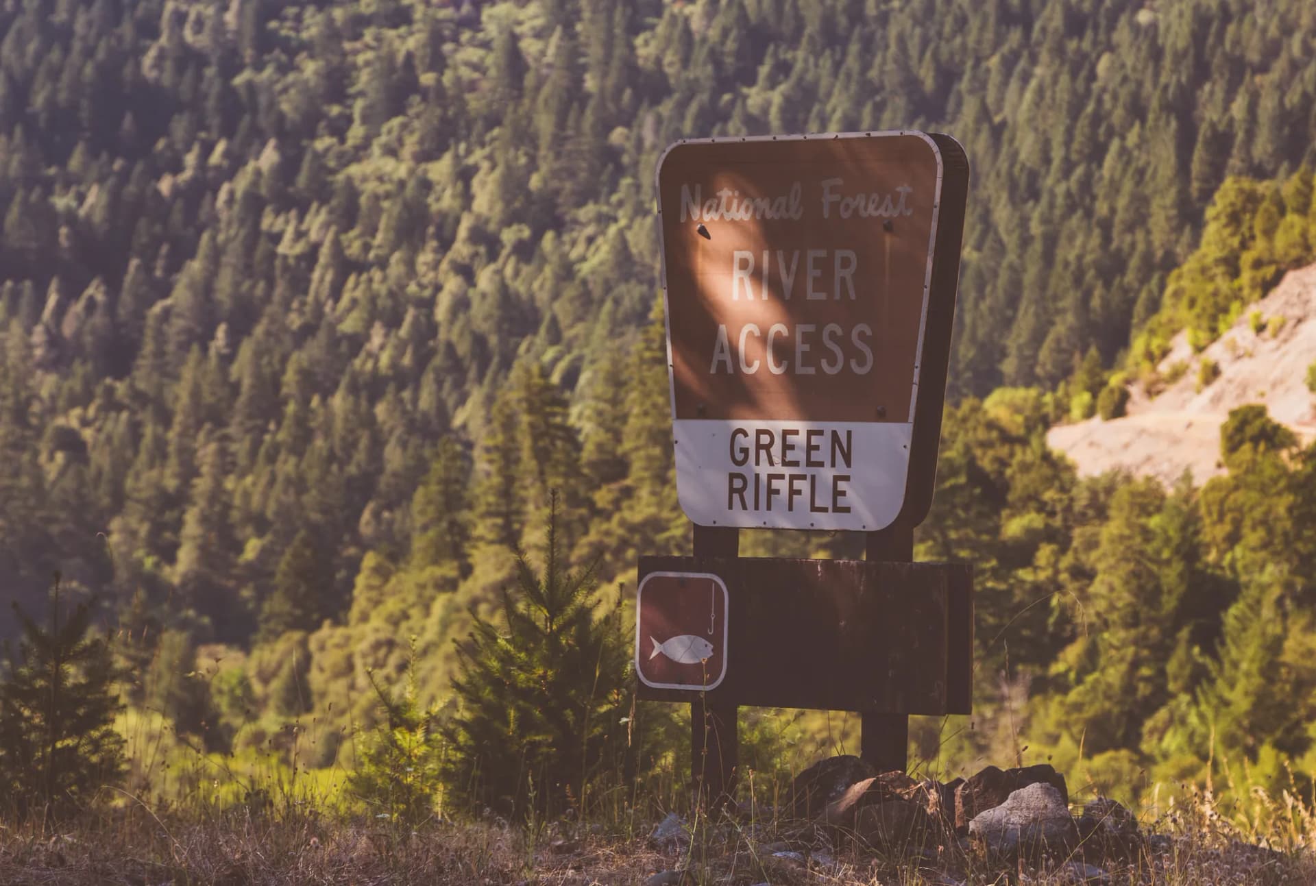
The forest is also defined by its rivers. The Klamath, Salmon, and Scott rivers drain the forest, and all three support wild salmon and steelhead runs that are among the last intact anadromous fisheries in California. The Salmon River in particular is remarkable: undammed along its entire length, it flows free through a canyon that is accessible only by trail in many sections. The Salmon River Trail provides the easiest entry into this corridor. For context on the differences between national forest and national park management, particularly around resource extraction and fishing, see our national forest vs. national park guide.
Why Klamath National Forest Stands Out
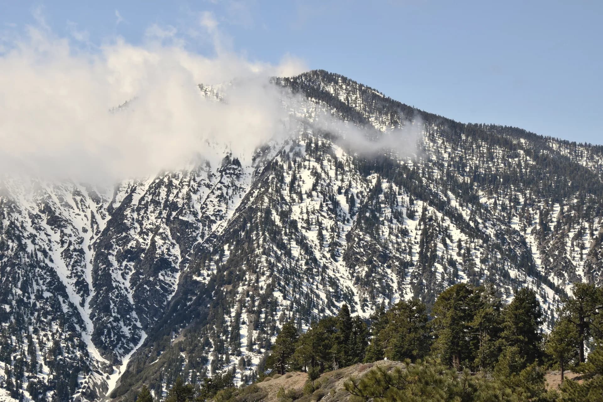
The Marble Mountain Wilderness
The Marble Mountain Wilderness covers 245,000 acres in the heart of the forest and contains the forest's most dramatic and varied high-country terrain. The marble and limestone formations along the wilderness's central ridge give the area its name, and the Sky High Lakes basin offers some of the best backcountry camping in northern California. The Marble Mountain via Sky High Lakes route is the signature hike, but dozens of other trails penetrate the wilderness from different directions.
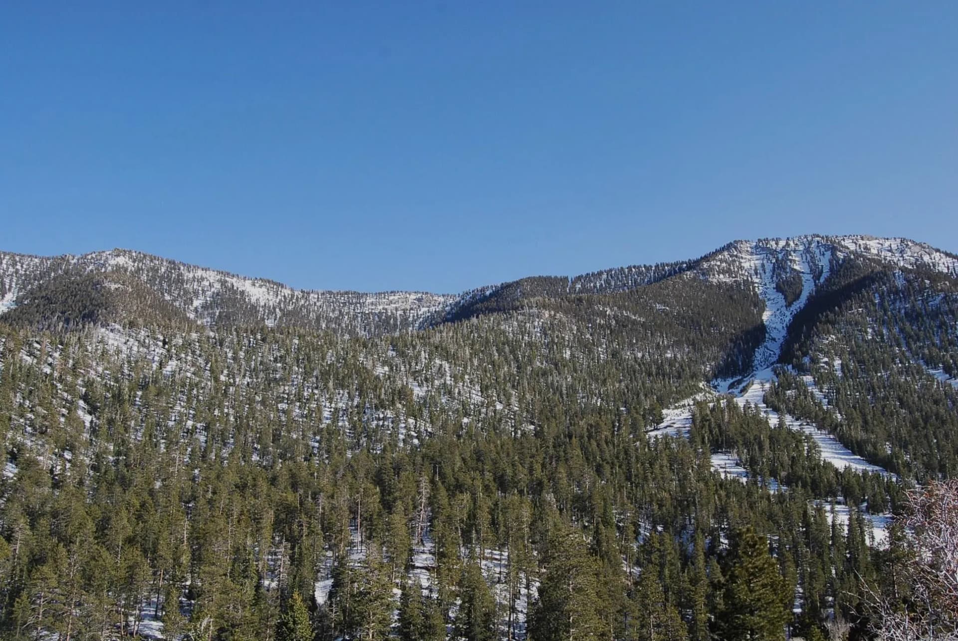
The Russian Wilderness
Smaller and more concentrated than the Marble Mountain Wilderness, the Russian Wilderness covers 12,000 acres of high alpine terrain in the Scott Mountains. The Russian Wilderness Loop samples the best of this compact wilderness in a single day, passing granite lakes, open ridgelines, and dense fir forest in a figure-eight circuit.
Botanical Richness
The serpentine soils that underlie much of the Klamath Mountains support plant communities that exist nowhere else in the world. Rare plants adapted to the low-calcium, high-magnesium chemistry of serpentine rock have evolved in isolation here, and the forest harbors more botanical endemic species than most national forests in the lower 48 states. This is a destination for serious naturalists as much as for hikers.
Best Trails in Klamath National Forest
The Marble Mountain Wilderness trail is the forest's flagship route, a 14-mile out-and-back that justifies a multi-day backpacking trip. Day hikers can sample the route's lower canyon sections and turn around before the Sky High Lakes basin.
The Haypress Meadows Trail provides a shorter alternative to the Marble Mountain Wilderness, reaching a high meadow system in 5 miles. The Kelsey Trail follows a historic pack route with consistent creek access and old-growth forest. For the most remote experience in the forest, Black Marble Mountain is a demanding summit route with views that span from the Cascades to the Coast Range.
Permits and Passes
No permit is required for day hiking or overnight camping in Klamath National Forest wilderness areas as of 2026. A free campfire permit is required for any open fire outside of developed campgrounds. Verify current requirements before your trip, as regulations can change.
Fishing on Klamath, Salmon, and Scott rivers requires a California fishing license and compliance with current CDFW regulations. Salmon and steelhead fishing regulations change annually based on fish population assessments. The America the Beautiful pass is not required for most Klamath National Forest trailheads, but may apply at some developed recreation sites. Veterans and service members should review our veteran benefits guide.
Camping
The forest's developed campgrounds are small and primarily first-come, first-served. Lovers Camp Campground near the Marble Mountain Wilderness trailhead is the most popular developed site and the logical base for the Marble Mountain routes. Dispersed camping is allowed throughout the forest outside of designated wilderness and posted closure areas, with a campfire permit. For an overview of how national forest camping permits work, see our camping permit guide.
When to Visit
June through October is the main hiking season. High-elevation routes in the Marble Mountain and Russian wilderness areas may not clear of snow until early July in heavy-snow years. The Salmon River corridor at lower elevations is accessible from May. Summer brings reliable dry weather but also increasing fire risk; fall (September-October) is often the most consistent and uncrowded season.
Wildfire is a persistent reality in northern California. Before any trip to Klamath National Forest, check current fire and smoke conditions via InciWeb and the AirNow resources covered in our pre-trip guide.
Getting There
The primary access to Klamath National Forest is via Interstate 5, with exits at Yreka, Fort Jones, and Happy Camp providing different entries to different parts of the forest. The Marble Mountain Wilderness trailheads are typically reached from Fort Jones via Indian Creek Road. State Route 96 follows the Klamath River through the northern portion of the forest. Most forest roads are unpaved; high-clearance vehicles are recommended for backcountry trailheads.
Practical Tips
- Water is abundant in the forest's creek and river drainages, but all backcountry water must be treated.
- Many hikers carry 2 to 2.5 liters, particularly on high-elevation routes between water sources. Individual needs vary.
- Bears are present throughout the forest; bear canisters are recommended for overnight trips. Review bear canister requirements.
- The forest's botanical richness means that off-trail travel can damage rare plants. Stay on trails in wilderness areas.
Planning Your Trip
Klamath National Forest rewards visitors who plan ahead. The forest's size and complexity mean that different sections have very different characters, road conditions, and access constraints. The Yreka and Happy Camp ranger district offices are the best sources of current road and trail information. For Leave No Trace practices specific to wilderness camping in old-growth forest, see our Leave No Trace guide.