Sierra National Forest covers 1.3 million acres of the central Sierra Nevada, stretching from the pine-oak foothills above Fresno to the high granite peaks along the Sierra crest. The forest is surrounded on three sides by some of the most famous protected lands in the country: Yosemite to the north, Kings Canyon to the east, and Sequoia to the south. This geographic position means Sierra National Forest attracts visitors looking for the Sierra Nevada experience without the permit queues and crowd levels that characterize the national parks.
The forest divides into two main recreation hubs connected by Highway 168. The northern hub at Huntington Lake and the Kaiser Wilderness provides high-altitude access to granite peaks, alpine lakes, and the signature Kaiser Peak summit. The southern hub at Shaver Lake and Dinkey Creek provides access to the Dinkey Lakes Wilderness and the Kings River canyon. Between these hubs, the forest transitions through conifer belts and rocky granite terrain that is genuinely wild in character despite being 55 miles from Fresno.
What Sierra National Forest offers that the parks cannot is flexibility. Dispersed camping throughout the forest means a spontaneous mid-week camping trip is possible without a reservation. The two wilderness areas (Kaiser Wilderness and Dinkey Lakes Wilderness) use free self-issue permits. The Kings River Wild and Scenic corridor provides access to one of California's premier undammed rivers. See the national forest vs. national park guide for a practical breakdown of the different rules that apply on the two sides of the park-forest boundary.
Why Sierra National Forest Stands Out
Granite High Country Without the Crowd Competition
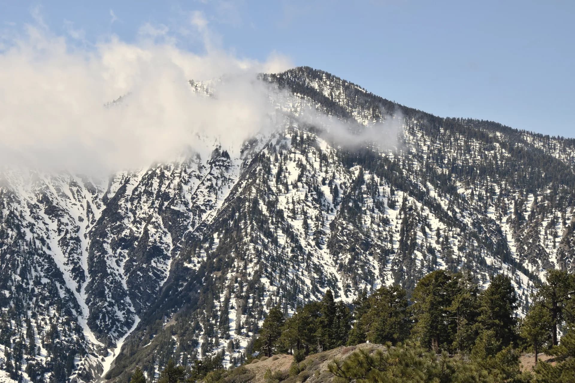
The Kaiser Wilderness occupies a compact 22,700-acre area around the Kaiser Pass area north of Huntington Lake. The wilderness contains Kaiser Peak (10,310 feet), several alpine lakes, and views that on clear days take in a significant portion of the central Sierra. The permit system is a free self-issue at the trailhead, not a competitive quota. Weekday visits to the Kaiser Wilderness provide the kind of solitude that requires planning months in advance in Yosemite.
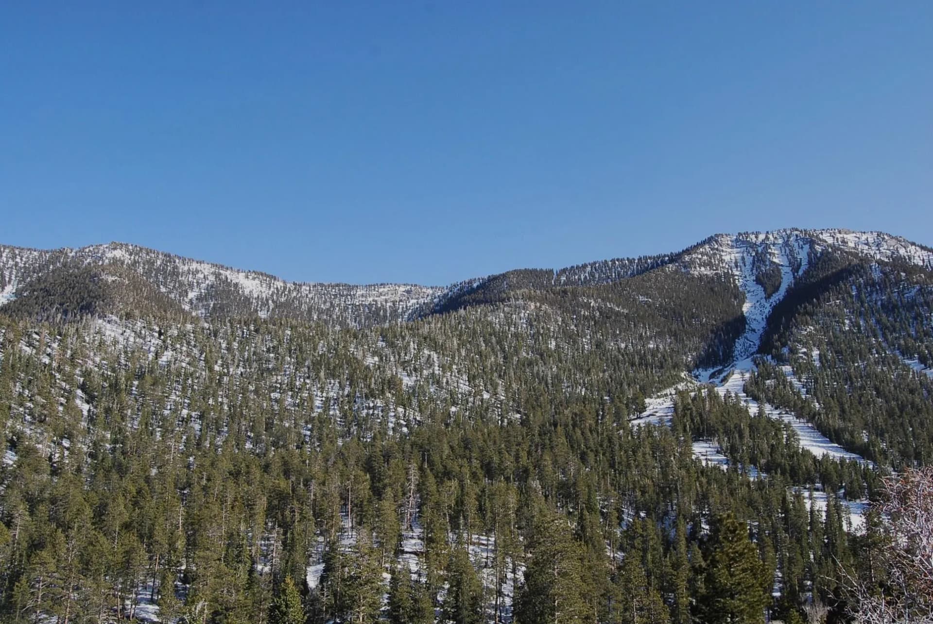
Dinkey Lakes: Four Lakes in a Compact Circuit
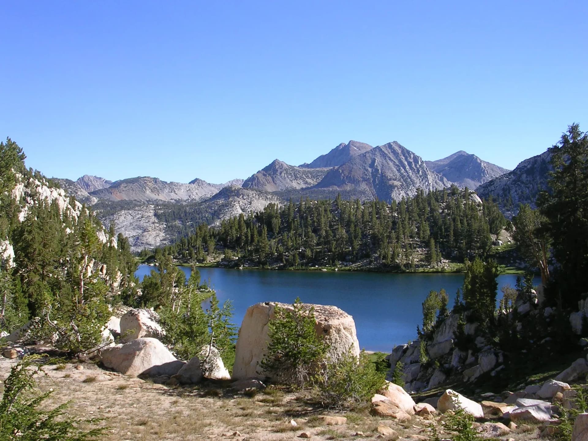
The Dinkey Lakes Wilderness southeast of Shaver Lake contains a cluster of alpine lakes accessible on loop routes that most visitors complete in a weekend backpack. The lakes sit in open granite basins that typify the central Sierra's character: polished rock, clear water, lodgepole pine forest at the margins, and high peaks closing the horizon. The Dinkey Lakes Loop is one of the most accessible multi-lake circuits in the Sierra Nevada for hikers who are not ready for the long approaches of the High Sierra Trail or JMT.
The Kings River
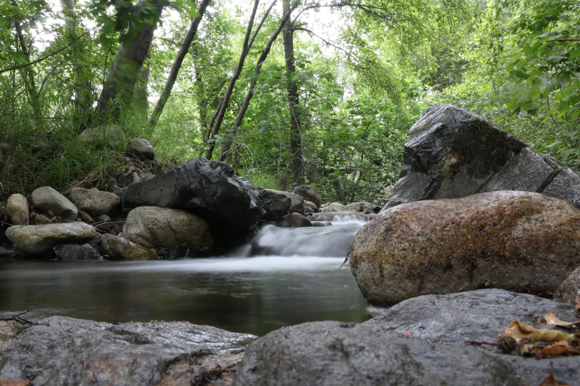
The Kings River Wild and Scenic corridor runs through the southern portion of the forest in a deep canyon that drops from the alpine peaks to elevations below 1,000 feet in the canyon bottom. The river is free-flowing and provides some of California's most demanding whitewater in spring. The Kings River Confluence Trail provides foot access to the lower canyon for visitors who want to experience the river rather than run it.
Best Trails in Sierra National Forest
Dinkey Lakes Loop
The Dinkey Lakes Loop is a 13-mile circuit through the Dinkey Lakes Wilderness, connecting First Dinkey Lake, Second Dinkey Lake, Mystery Lake, and Rock Lake in a single route that works as a day hike for strong hikers or a comfortable two-day backpack.
Kaiser Peak Trail
Kaiser Peak is the highest and most rewarding summit in the Kaiser Wilderness at 10,310 feet, reached by a 10-mile round trip from the Potter Pass Trailhead. The views from the summit encompass the full central Sierra Nevada panorama.
Rancheria Falls Trail
The Rancheria Falls Trail is a 4-mile out-and-back from the Huntington Lake area to a 150-foot waterfall in a granite canyon, one of the most accessible dramatic waterfall hikes in the forest.
Doris Lake Trail
Doris Lake in the Kaiser Wilderness is a 9-mile out-and-back that passes three lakes before reaching its destination, making it one of the more lake-rich day hikes in the forest.
Permits and Passes
Kaiser Wilderness and Dinkey Lakes Wilderness require free self-issue permits for overnight camping, available at trailhead kiosks as of 2026. No permit is required for day hiking. A free USFS campfire permit is required outside developed campgrounds. The America the Beautiful Pass covers day-use parking fees at most forest trailheads. Veterans and active military may obtain this pass at no cost; see veteran benefits on national forests for details. The how to get a national forest camping permit guide covers the general process.
Camping
Sierra National Forest has numerous developed campgrounds along Highway 168, particularly around Huntington Lake and Shaver Lake. Rancheria Campground is the largest and most popular, with 146 sites near Huntington Lake. Dinkey Creek Campground is the primary developed option for the Dinkey Lakes area. Dispersed camping is allowed throughout the forest outside of campgrounds and designated no-camping zones, with standard Leave No Trace requirements.
Bear canisters are required for overnight camping in both wilderness areas. See bear canister requirements for current guidance.
When to Visit
May through October covers the main season. Highway 168 to Huntington Lake is open year-round; the upper Kaiser Pass Road and wilderness trailheads typically open in late May or June. July and August are peak season with warm temperatures and reliable trail access above 8,000 feet. September is excellent with fall color and fewer visitors. The lower-elevation trails (Kings River confluence area) are accessible most of the year; check conditions through the conditions guide.
Fire conditions significantly affect camping and hiking from August onward. Always check current restrictions at fs.usda.gov/sierra and through CalFire before departure.
Getting There
From Fresno, drive northeast on Highway 168 through Clovis toward Shaver Lake (approximately 45 miles) and continuing to Huntington Lake (approximately 65 miles). Highway 168 is the primary access corridor for both the Kaiser Wilderness and Dinkey Lakes areas. The Dinkey Creek Road branches south from the Shaver Lake area.
For the Kings River access to the south, take Highway 99 north from Fresno to Highway 168 or reach the lower canyon via Trimmer Springs Road east of Fresno.
Practical Tips
- The Kaiser Pass Road above Huntington Lake is steep, winding, and one-lane in sections. It is not recommended for vehicles longer than 22 feet or for trailers. Check road conditions before driving.
- Cell service disappears quickly above Shaver Lake. Download maps, routes, and emergency contact information before leaving the valley.
- Start high-country hikes early: afternoon thunderstorms are common in July and August above 9,000 feet.
- Black bears are active throughout both wilderness areas. Food storage in approved containers is both legally required and practically important.
Planning Your Trip
The High Sierra Ranger District (based in Prather) handles most recreation inquiries for the forest. The Dinkey Creek area is part of the Pineridge Ranger District. Contact the relevant office for current permit and road conditions. Check conditions before any trip and review Leave No Trace principles for alpine and wilderness camping practices.