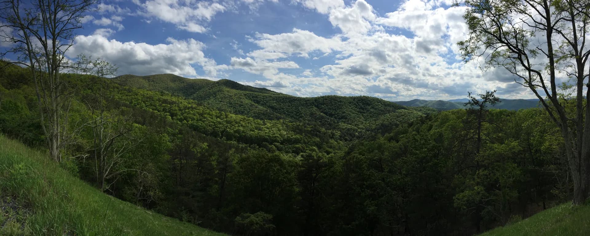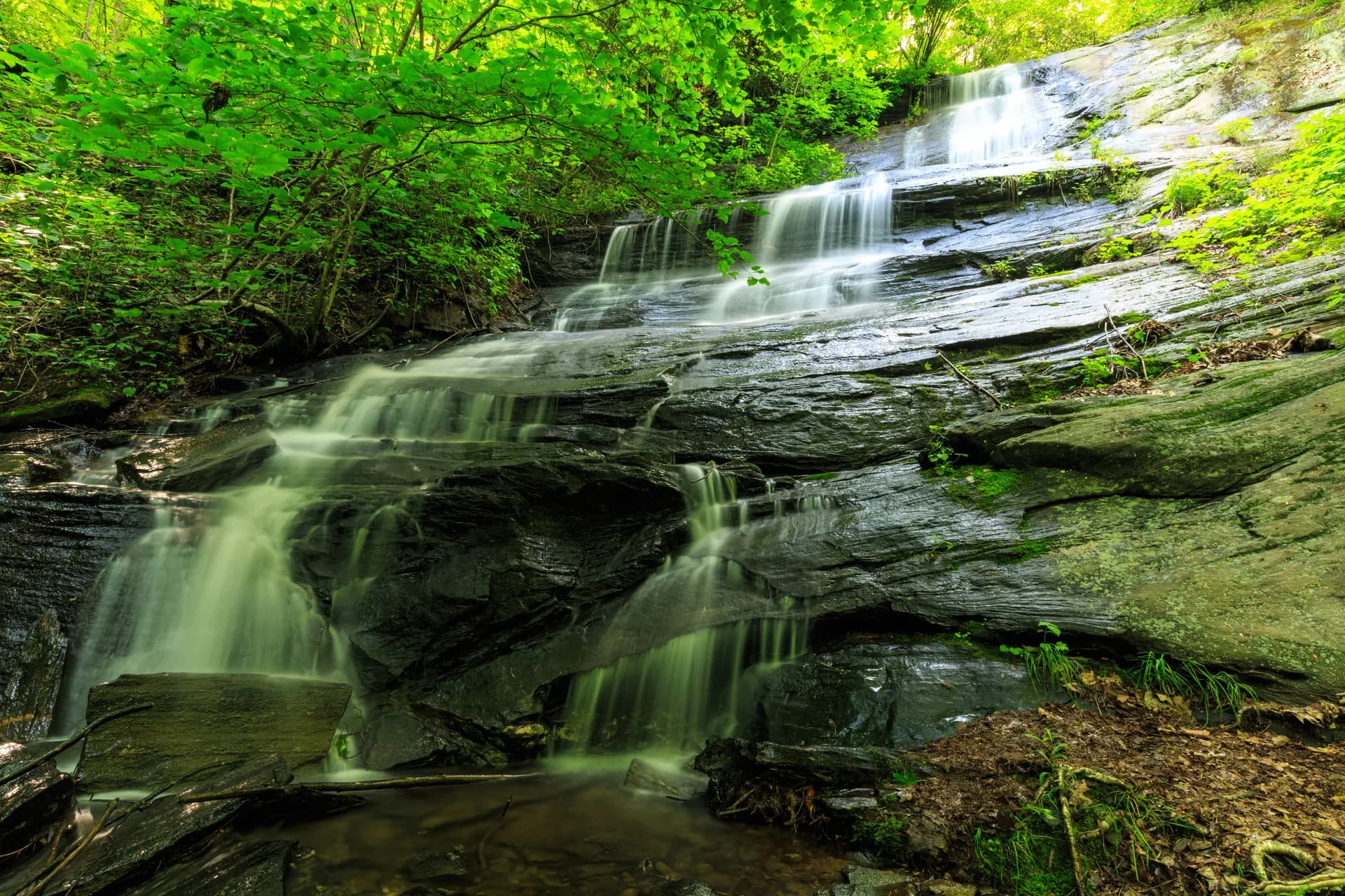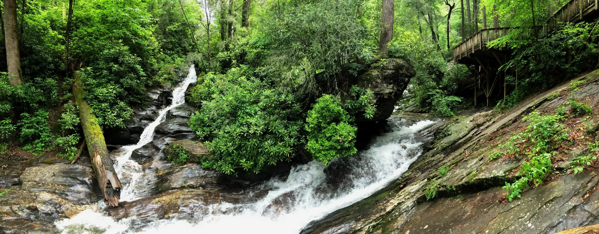
Chattahoochee-Oconee National Forests
Georgia865,790 acres
Complete guide to Chattahoochee-Oconee National Forests in Georgia. Trail recommendations, campgrounds, waterfalls, Appalachian Trail access, and trip planning resources.
15 min read
3 forests, 24 trails