The Eldorado National Forest
The Eldorado National Forest occupies a 616,000-acre swath of California's central Sierra Nevada, from the gold-rush foothills east of Sacramento to the high granite country along the Lake Tahoe basin's southern edge. The forest sits between two of the most visited landscapes in the country: the Lake Tahoe Basin to the north (with the adjacent Desolation Wilderness) and Yosemite National Park to the south. This positioning gives the Eldorado a secondary status in the tourism hierarchy that benefits the visitor: comparable mountain scenery with dramatically less crowd pressure.
The forest's name traces to the historical Gold Rush period. El Dorado County, where much of the forest lies, was central to the 1848 California Gold Rush. The forest's river canyons were placer-mined extensively, and remnants of that era (mine shafts, flumes, and rock piles) are visible in the lower elevation areas. Today the forest is better known for its Crystal Basin Recreation Area, the Mokelumne Wilderness, and its role as Sacramento's backyard mountain playground.
Why Eldorado National Forest Stands Out
The Crystal Basin Recreation Area
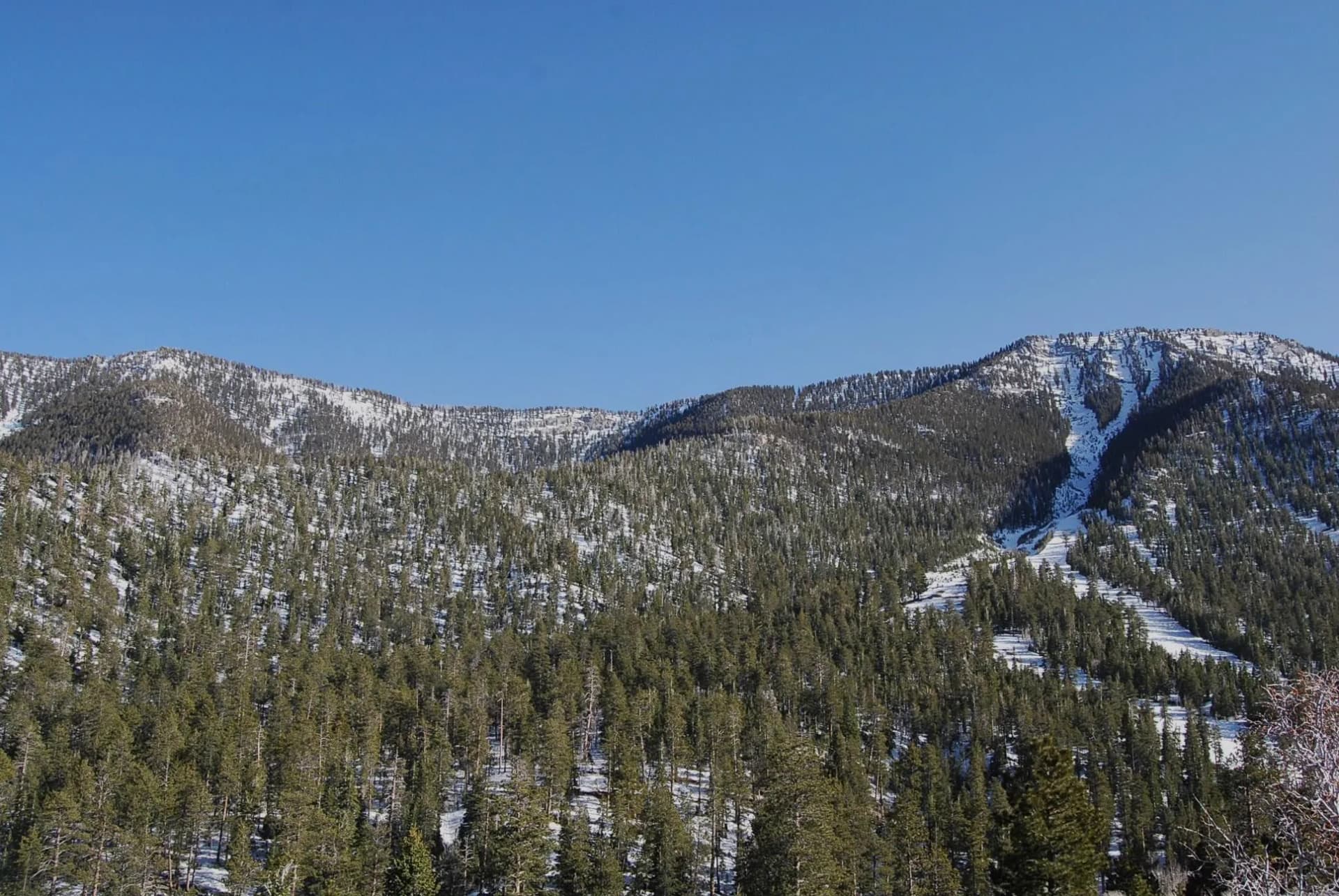
Crystal Basin is the Eldorado's primary recreation hub: a cluster of reservoirs including Ice House, Union Valley, and Loon Lake, surrounded by campgrounds and hiking trails within easy driving distance of Sacramento. The lakes provide swimming, fishing, and paddling with developed facilities and reliable access from Memorial Day through Labor Day. For the 2.5 million people in the Sacramento metro area, Crystal Basin is the closest accessible mountain lake recreation.
The Mokelumne Wilderness
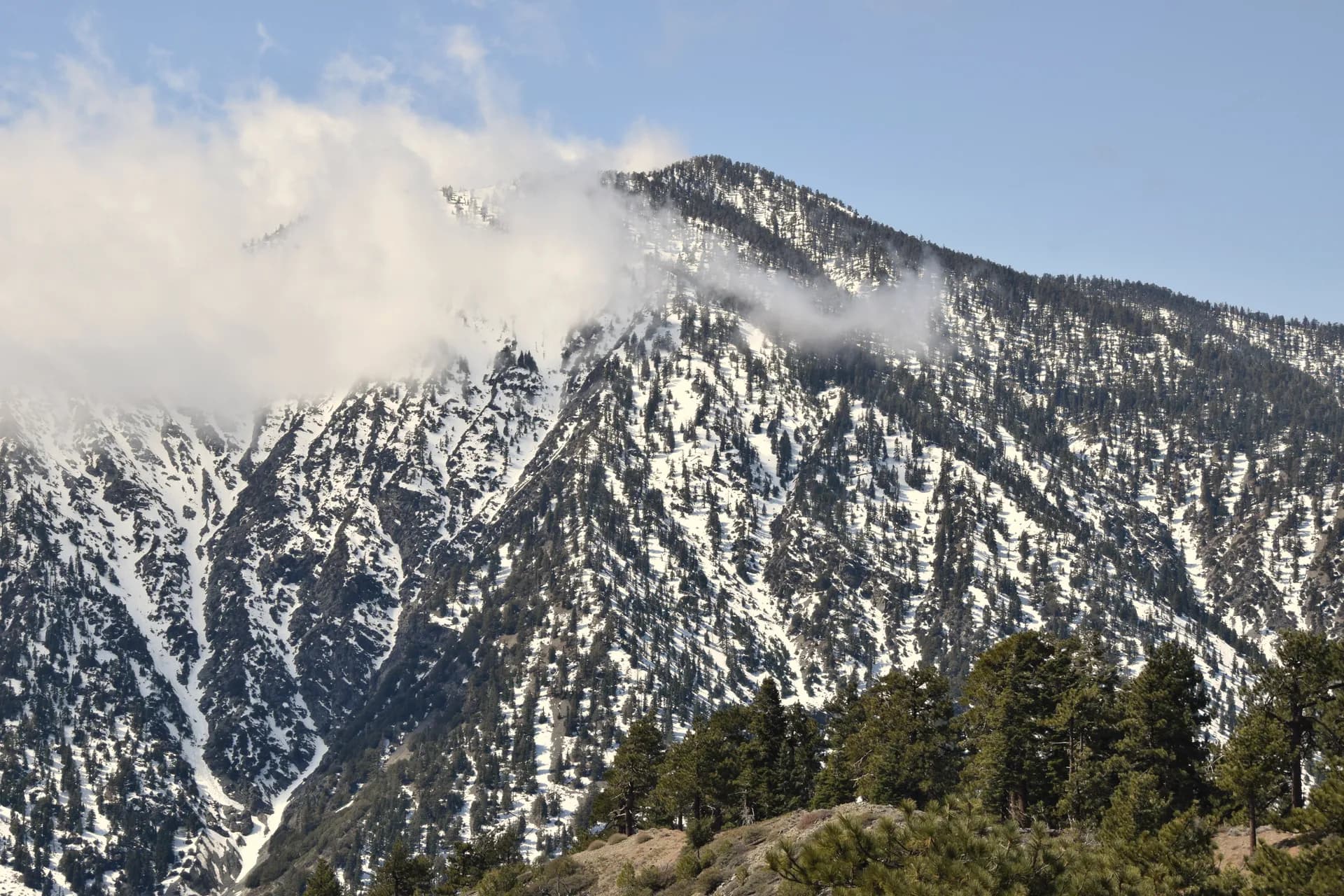
The Mokelumne Wilderness spans both the Eldorado and Stanislaus national forests, covering 105,000 acres of terrain shaped by both volcanic eruption and glacial scouring. The result is a landscape of unusual geological diversity: volcanic pinnacles, andesite cliffs, glacial lakes, and granite domes all within a relatively compact wilderness. The high point, Mokelumne Peak at 9,332 feet, is accessible via several trail routes. The wilderness is less crowded than the nearby Desolation Wilderness, partly because it lacks the name recognition and partly because access requires longer drives from Truckee or Sacramento.
Lovers Leap and Rock Climbing
Lovers Leap near Strawberry is one of Northern California's premier traditional rock climbing destinations, with hundreds of routes on a 600-foot granite face above the American River. For hikers, the trail approach to Lovers Leap provides views of the wall and easy access to the summit plateau. The climbing community has used this wall for decades and it remains a benchmark trad climbing venue.
Best Trails
Eight trails span the Eldorado from the granite climbing walls near Strawberry to the volcanic high country of the Mokelumne Wilderness.
Mokelumne Peak Trail climbs 14 miles round trip to the 9,332-foot summit of the Mokelumne Wilderness, the most demanding and most rewarding summit hike in the forest.
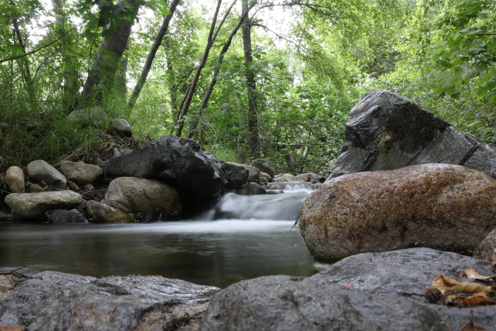
Rubicon Trail follows the Rubicon River 10.4 miles through a glacially carved canyon with swimming holes and connecting the Loon Lake to Rockbound Pass trail system.
Grouse Lake Trail is a 5.6-mile round trip to a high-elevation lake in the Desolation Wilderness adjacent to the Eldorado, accessible from the Wrights Lake Trailhead.
Lovers Leap Trail provides a 3.2-mile walk to the summit plateau above Lovers Leap's famous climbing wall, with views of the American River canyon.
Horsetail Falls Trail climbs 4.0 miles round trip to a dramatic waterfall in the Twin Bridges area, one of the most popular spring and early summer hikes in the forest.
Wentworth Springs Trail runs 8.6 miles round trip through the granite high country of the Crystal Basin area with excellent lake views.
Silver Lake Trail follows a 6.0-mile loop around Silver Lake in the Amador County area of the forest, combining reservoir views with meadow hiking.
Emigrant Lake Trail climbs 7.2 miles to a remote lake in the Mokelumne high country via a historic emigrant route through the southern Eldorado.
Permits and Passes
No permit is required for day hiking or dispersed camping on the Eldorado National Forest as of 2026. The Mokelumne Wilderness requires no permit for overnight camping as of 2026, a notable distinction from the neighboring Desolation Wilderness, which requires permits in peak season.
Developed campgrounds range from $24 to $36 per night (as of 2026) and are heavily used during summer weekends. Advance reservations through Recreation.gov are strongly recommended for peak season visits to Ice House, Wrights Lake, and Loon Lake campgrounds.
The America the Beautiful Annual Pass covers day-use fees at many federal recreation sites. For information on veterans' access programs, see our guides on the America the Beautiful pass for veterans and veteran benefits on national forests.
For context on the difference between the Eldorado's national forest designation and the adjacent national parks and wilderness areas, see our national forest vs. national park guide.
Camping
Ice House Campground is the flagship Crystal Basin campground with 83 reservable sites on Ice House Reservoir. It is heavily booked through the summer (as of 2026) and advance reservations are essential for weekend visits.
Wrights Lake Campground sits at 6,984 feet elevation near the Desolation Wilderness boundary with 65 reservable sites and direct trail access to the wilderness. The high elevation means a shorter season (June through October) but cooler summer temperatures.
Loon Lake Campground provides 55 reservable sites at the highest of the Crystal Basin reservoirs, with water access and views of the surrounding granite peaks.
Silver Fork Campground is a 35-site first-come facility along the Silver Fork of the American River, providing a no-reservation alternative at the edge of the Crystal Basin area.
When to Visit
May through June opens the lower Crystal Basin reservoirs and the river canyon trails. This is the wildflower peak for lower-elevation meadows and the snowmelt runoff creates dramatic waterfall and creek flows. Horsetail Falls is at its best in May.
July through August is peak season. Wrights Lake and high-elevation Mokelumne trails open, campgrounds reach maximum occupancy on summer weekends, and the Sierra Nevada high country is at its most accessible. Reserve campsites months in advance for July and August weekend visits.
September through October is the local secret: crowds thin after Labor Day, the aspen groves in the meadows turn gold in October, and the high-country trails are still open in most years until late October. Temperatures moderate for hiking.
Winter closes the upper-elevation roads (typically around 5,000 feet) but the lower foothills remain accessible. Cross-country skiing and snowshoeing are popular on Sly Park Road and in the lower Crystal Basin when snow allows.
Getting There
From Sacramento: Drive east on US-50 to Placerville, then continue east on US-50 to the forest boundary (approximately 60 miles, 1.5 hours from Sacramento). The Crystal Basin is accessible via the Ice House Road turnoff east of Riverton.
From South Lake Tahoe: Drive west on US-50 approximately 55 miles (1.5 hours) to the main Eldorado access points. The Wrights Lake area is most directly reached from the Echo Summit area on US-50.
From the Bay Area: Drive east on I-80 to Sacramento, then east on US-50, approximately 3 hours from San Francisco. US-50 through the American River canyon is a scenic drive in its own right.
Practical Tips
The Crystal Basin campgrounds book rapidly for summer weekends, often within minutes of becoming available on Recreation.gov. Check the booking windows (typically 6 months in advance) and set reminders for the opening date of popular campgrounds.
Mountain weather in the Sierra Nevada is unpredictable. Afternoon thunderstorms are common from July onward on high-elevation routes like Mokelumne Peak. Start summit hikes early and be below treeline before early afternoon. Check current conditions using the USFS guide.
Black bears are present throughout the Eldorado and are a significant concern in developed campgrounds, where bears have learned to associate campers with food. Use the bear boxes provided at all campgrounds. In the backcountry, carry a bear canister. Our guide on bear canister requirements covers California's specific regulations, which may require canisters in some areas.
Swimming at Crystal Basin reservoirs is popular and permitted in most areas. Water temperatures are cold even in August at the higher reservoirs. Supervise children near the water.
Follow Leave No Trace principles throughout, particularly in the heavily used Crystal Basin area and the Mokelumne Wilderness where concentration of use creates persistent impacts.