Overview
Fremont-Winema National Forest covers 2.3 million acres of south-central Oregon, a landscape defined by volcanic geology, high desert plateau, and one of the most productive bird habitats in the western United States. The forest takes two names from its administrative history: the Fremont side covers the high desert and fault-block mountain terrain of Lake County, while the Winema side covers the Cascade Mountains country bordering Crater Lake National Park and the Klamath Basin.
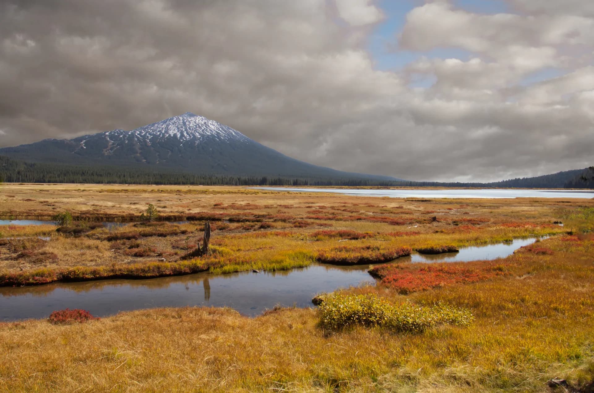
The Klamath Basin, partially within the forest's western edge, is a critical stopover for migratory birds on the Pacific Flyway. Upper Klamath Lake, at 64,000 acres, is one of the largest freshwater lakes in the Pacific Northwest and supports enormous concentrations of white pelicans, herons, and waterfowl. The Sky Lakes Wilderness in the east provides alpine lake terrain within driving distance of Klamath Falls.
Why Fremont-Winema National Forest Stands Out
Gearhart Mountain Wilderness
The Gearhart Mountain Wilderness protects 22,823 acres of Oregon's most remote wilderness country, anchored by Gearhart Mountain at 8,364 feet. The wilderness contains Gearhart Marsh and Dairy Creek, one of the most isolated wetland systems in the state. The trail system is minimal and the terrain demanding, making this a genuine wilderness experience with essentially no crowds even in peak summer.
Sky Lakes Wilderness
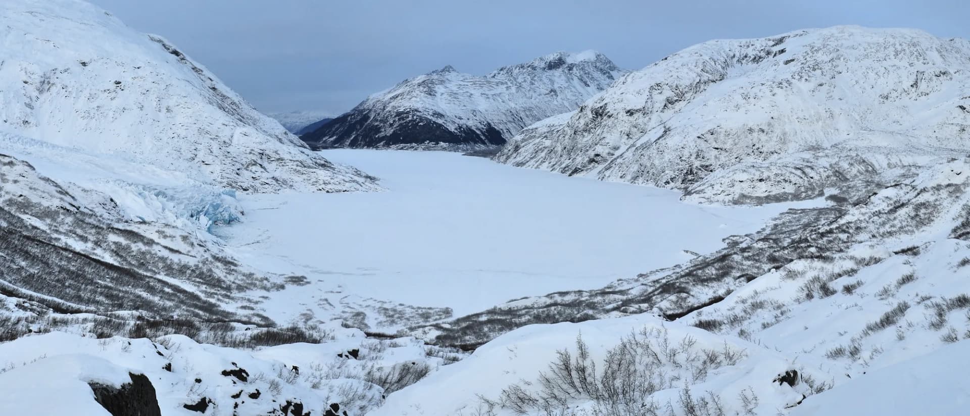
The Sky Lakes Wilderness covers 116,300 acres east of Crater Lake National Park and contains over 200 lakes and ponds in a volcanic landscape. The wilderness is popular with backpackers but still far less crowded than Crater Lake itself, and it shares the same volcanic rim geology. The Pacific Crest Trail traverses the length of the wilderness, providing a backbone for multi-day routes.
Winter Ridge and the Oregon High Desert
Winter Ridge is a dramatic fault-block escarpment dropping 3,000 feet from the forest plateau to Summer Lake basin in a single wall, one of the most striking geologic features in Oregon's high desert. The Winter Ridge Wilderness protects 22,748 acres of this transition zone. The views from the rim are among the most expansive in the state.
Best Trails
The Gearhart Mountain Trail is a 10.6-mile out-and-back to the summit of 8,364-foot Gearhart Mountain through the remote Gearhart Mountain Wilderness.
The Sky Lakes Wilderness Trail covers 8.8 miles to a series of alpine lakes in the Sky Lakes Wilderness, offering Pacific Crest Trail access and excellent volcanic lake scenery.
The Winter Ridge Trail is a 7.4-mile out-and-back along the dramatic Winter Ridge escarpment with 3,000-foot views over Summer Lake basin.
The Upper Klamath Canoe Trail is a 4-mile paddling route through the Upper Klamath Lake marsh, one of the Pacific Northwest's most productive birding areas. Listed here as a water trail but accessible by kayak or canoe.
The Mountain Lakes Loop is a 17.2-mile backpacking circuit through the Mountain Lakes Wilderness, visiting a series of volcanic caldron lakes.
The Aspen Butte Trail is a 9.4-mile out-and-back to the highest point in the Cascade Mountains of Klamath County, with views of Crater Lake, Klamath Lake, and south into California.
The Crane Prairie Rim Trail is a 6.0-mile loop through high desert plateau grassland and old-growth ponderosa pine east of the Cascades, good for wildlife viewing.
The Fourmile Lake Trail is a 5.2-mile out-and-back from Fourmile Lake into the Sky Lakes Wilderness, one of the most accessible alpine destinations in the forest.
Permits and Passes
No permit is required for day hiking or dispersed camping in Fremont-Winema National Forest or its wilderness areas (as of 2026). Developed campground fees run $10-18/night (as of 2026), with reservations at Fourmile Lake Campground available through recreation.gov.
The Sky Lakes Wilderness and Pacific Crest Trail through the forest area are very popular in summer; no entry permit is required as of 2026, but regulations can change. Check with the Klamath Falls Ranger District.
Veterans and active military receive benefits through the America the Beautiful Pass. See America the Beautiful Pass for Veterans and Veteran Benefits at National Forests.
Camping
Fourmile Lake Campground offers 25 sites at the edge of the Sky Lakes Wilderness adjacent to Fourmile Lake, reservable through recreation.gov at approximately $15/night (as of 2026), open June through October.
Sandhill Crossing Campground has 8 first-come-first-served sites in the Gearhart Mountain Wilderness approach area at approximately $10/night (as of 2026), open May through October.
Aspen Lake Campground is a free 4-site primitive facility near the Mountain Lakes Wilderness trailhead, open June through September.
Dispersed camping is available throughout the forest and wilderness areas, free of charge (as of 2026). Camps must be 100 feet from water sources.
When to Visit
June through October covers the primary hiking season. Wilderness trails above 6,000 feet are typically snow-free by late June. Gearhart Mountain and Mountain Lakes trails may retain snow through early July.
July through August is peak season across the forest. The Sky Lakes Wilderness can be crowded on summer weekends; Gearhart Mountain and Winter Ridge receive far fewer visitors.
September and October are excellent for wildlife viewing as birds concentrate in the Klamath Basin before migration, and for fall conditions in the wilderness areas.
January through March, Upper Klamath Lake is a major bald eagle wintering area. Some years see several hundred eagles along the lake margins.
Getting There
From Klamath Falls (35 miles, 45 minutes): Klamath Falls is the main gateway for the Winema side of the forest and for Sky Lakes Wilderness access. Highway 140 west from Klamath Falls leads into the forest interior. The Klamath Falls Ranger District office has maps and current information.
From Bend (100 miles, 1 hour 45 minutes): US-97 south from Bend, then Highway 31 south, provides access to the Winter Ridge and Fremont side of the forest. This is the primary route from central Oregon.
From Medford (80 miles, 1 hour 30 minutes): Highway 62 north from Medford connects to the southern Sky Lakes Wilderness access points. Medford provides full services.
Practical Tips
This forest spans a dry climate and fire is a persistent concern in summer. The eastern high desert sections burn frequently; check current fire restrictions and smoke conditions before any trip. See Checking Conditions Before You Go for a full checklist.
Black bears are present. Bear canisters are recommended for wilderness overnight trips. See Bear Canister Requirements.
The Upper Klamath Lake area has complex ecological conditions. Algae blooms can affect water quality and wildlife distribution seasonally; check current conditions with Oregon Department of Fish and Wildlife before the canoe trail.
Practice Leave No Trace 7 Principles throughout the forest, particularly around alpine lakes in the Sky Lakes and Mountain Lakes Wilderness areas where fragile aquatic ecosystems are sensitive to human impact.