Gateway to the Greater Yellowstone Ecosystem
Gallatin National Forest encompasses approximately 1,735,000 acres of southern Montana mountain terrain, running from the Gallatin Range above Bozeman south to the northern border of Yellowstone National Park, and east across the Beartooth Plateau to the Absaroka Range. It forms the western portion of the combined Custer-Gallatin National Forest administrative unit, sharing a supervisor's office with the Custer section to the east.
Few national forest sections in the Rocky Mountains offer the combination of accessible recreation and raw wildness that defines the Gallatin. Bozeman, Montana's fastest-growing city and home to Montana State University, sits directly on the forest boundary. Hyalite Canyon, a deep gorge rising directly south of town, provides hiking and ice climbing within 20 minutes of downtown. Twenty miles further south, the Gallatin and Madison Ranges rise to peaks above 11,000 feet, the Spanish Peaks area extending into serious wilderness terrain. And beyond that, the forest borders Yellowstone, placing hikers at the edge of the most complete remaining large-mammal ecosystem in the contiguous United States.
Absaroka-Beartooth Wilderness
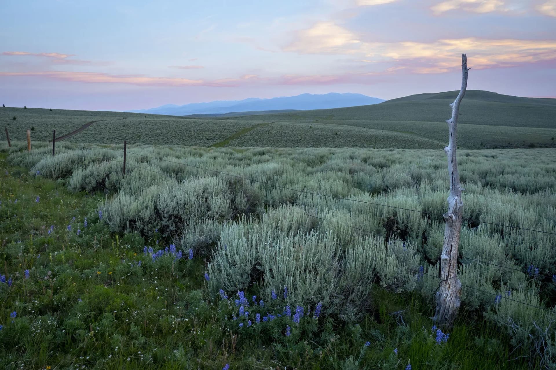
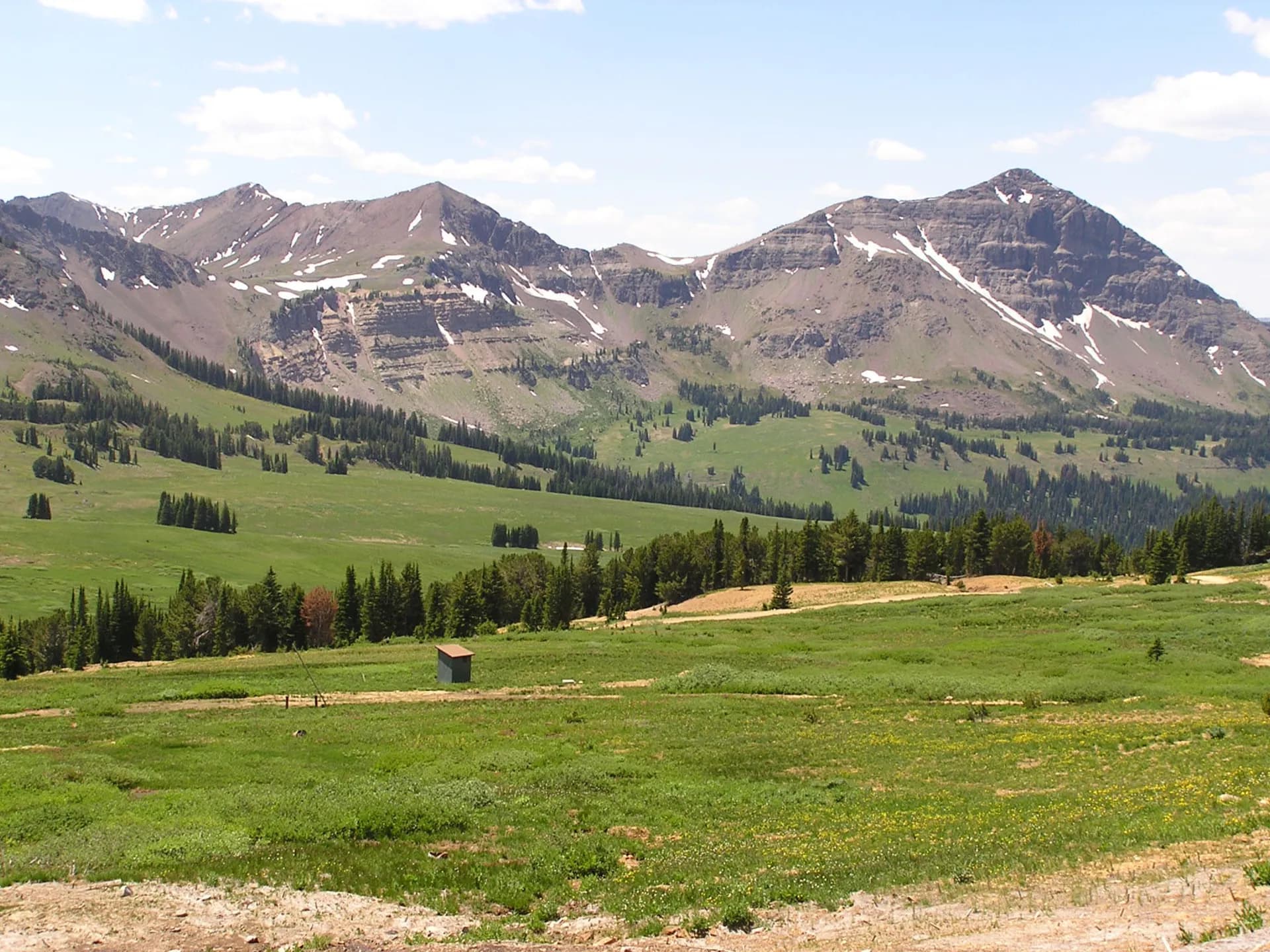
The Absaroka-Beartooth Wilderness covers approximately 943,000 acres across the Gallatin and Custer sections of the forest, making it one of the largest wilderness areas in the lower 48. The Gallatin section contains the western Beartooth Plateau approaches and portions of the Absaroka Range. The high plateau sits above 10,000 feet across most of its area, a landscape of tundra, rock, and the hundreds of glacial lakes that give it the nickname "land of a thousand lakes." The Beartooth Highway (US-212) provides summer access to the plateau from Red Lodge, Montana, but the Gallatin section approaches from the north and west, reaching the wilderness via longer, quieter approaches from the Bozeman side.
Hyalite Canyon
Hyalite Canyon is the Gallatin section's most accessible and most-used recreation corridor. South of Bozeman on Hyalite Canyon Road, the canyon holds Hyalite Reservoir and a series of hiking trails leading to waterfalls, alpine lakes, and ridge viewpoints. Hyalite Peak (10,298 feet) is accessible from the canyon, and the Palisade Falls trail reaches a dramatic 80-foot waterfall. In winter, the frozen waterfalls and mixed ice routes on the canyon walls draw climbers from across the country, making Hyalite a year-round destination.
Yellowstone Frontier Country
The forest's southern boundary runs along Yellowstone's northern edge, and the wildlife of the Greater Yellowstone Ecosystem spills freely across that invisible line. Grizzly bears, wolves, bison, and elk all use the forest land as part of their seasonal ranges. Tom Miner Basin, in the forest south of Gardiner, is particularly known for grizzly bear activity and provides one of the best wildlife viewing opportunities in the Gallatin section. Pull over slowly, keep your distance, and carry bear spray anywhere south of Livingston.
Best Trails
Mystic Lake Trail (10.5 miles, out-and-back) climbs from East Rosebud Canyon in the Beartooth section to a dramatic cirque lake at nearly 9,000 feet. The trail gains significant elevation through old-growth forest and open alpine terrain, finishing at a lake ringed by sheer rock walls.
Hyalite Canyon Loop (8.0 miles, loop) combines several waterfall and lake destinations in the Hyalite drainage, offering the most scenery per mile of any route accessible directly from the Bozeman area.
Spanish Peaks Trail (14.0 miles, out-and-back) enters the Lee Metcalf Wilderness in the Madison Range, climbing through forest and meadows to high alpine terrain with views across the Spanish Peaks. This is a less-traveled route with good wildlife viewing opportunities.
Beartooth Trail (22.0 miles, multi-day) traverses the western Beartooth Plateau through the Absaroka-Beartooth Wilderness, crossing the kind of high-altitude tundra terrain found nowhere else in Montana. Most hikers take two to three days.
Porcupine Creek Trail (11.0 miles, out-and-back) provides access into the Absaroka wilderness from the north, following a creek drainage with good elk and bear country along the way.
Permits and Passes
No permit is required for day hiking or dispersed camping in Gallatin National Forest (as of 2026). Developed campground fees apply at reservable sites. Bear spray is strongly recommended for all backcountry travel in this grizzly bear habitat. Review bear canister requirements and carry spray rather than relying on food storage alone in grizzly country.
Veterans and permanently disabled individuals may qualify for federal discount passes.
Camping
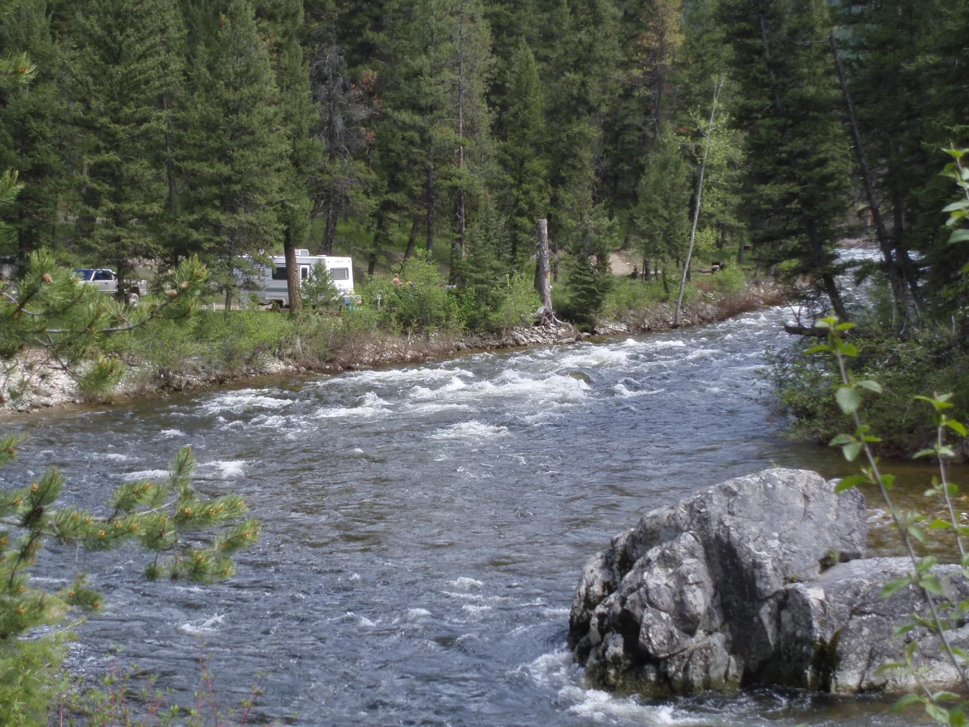
Hyalite Campground (21 sites, reservable) is the most popular option, sitting in the canyon near the reservoir. Pine Creek Campground in the Paradise Valley below the Absarokas is a good base for eastern approaches. Tom Miner Campground is the closest developed option to the Yellowstone border, popular with wildlife viewers and accessible to the backcountry south.
Dispersed camping is available throughout the forest on forest roads. The dispersed camping guide covers general USFS rules. Camp clean and store food properly throughout the entire Gallatin section.
When to Visit
July through September is the primary hiking season. The Absaroka-Beartooth high country is not fully accessible until late July in most years. October brings excellent elk rut viewing and dramatic fall colors in the aspen groves throughout the Paradise Valley. Winter in Hyalite Canyon is a specialized but rewarding season for ice climbers and snowshoers.
Check conditions at checking conditions before you go. Practice Leave No Trace principles throughout, and carry bear spray on every backcountry trip.
Getting There
From Bozeman, take Hyalite Canyon Road south directly to the Hyalite Recreation Area, about 20 minutes. For the Madison Range and Spanish Peaks, take US-191 south from Bozeman toward Big Sky. For the Paradise Valley and Livingston trailheads, take US-89 south from Livingston (90 miles east of Bozeman via I-90).