The Kootenai National Forest
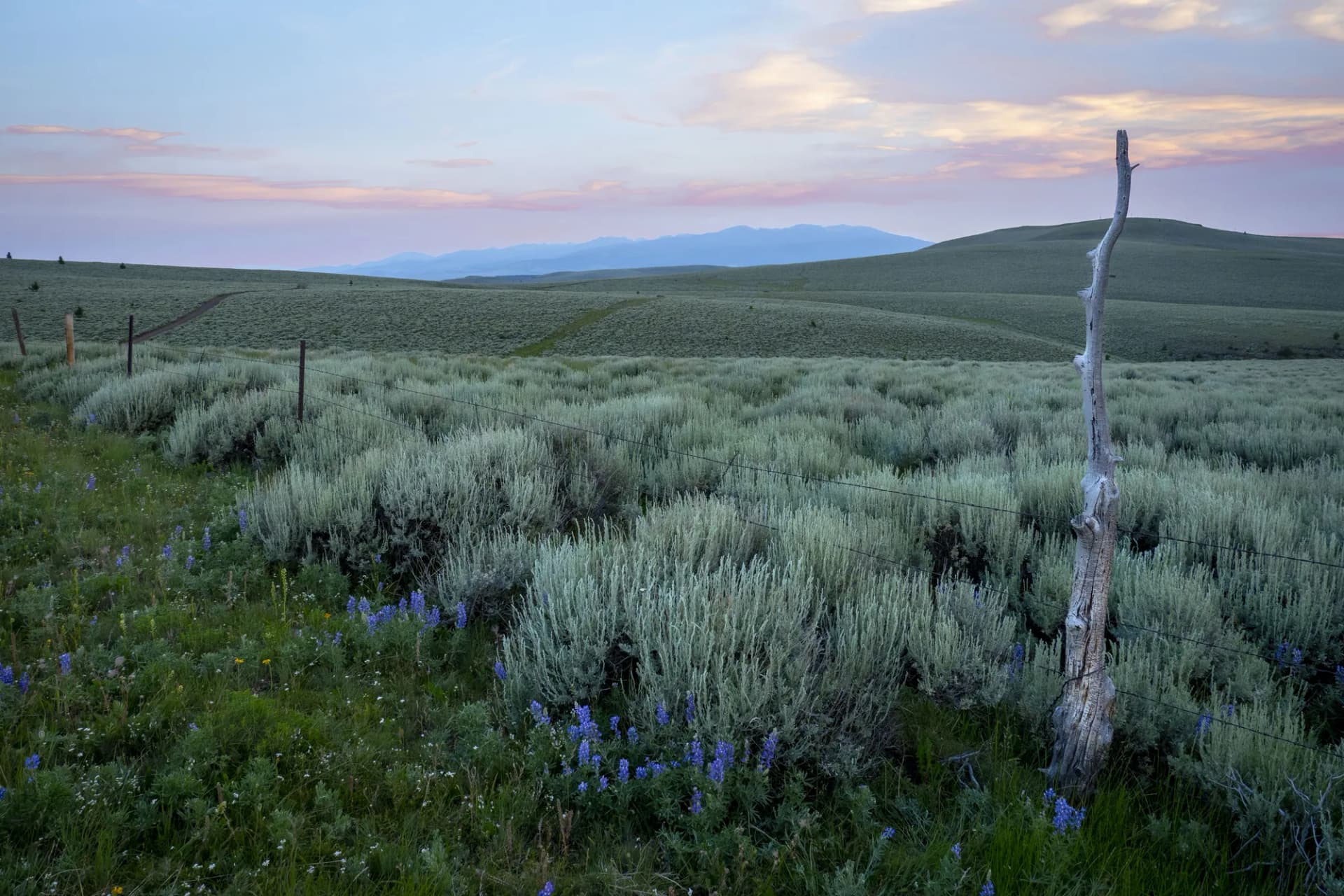
The Kootenai National Forest occupies the far northwestern corner of Montana, tucked into the angle where the Idaho panhandle meets the Canadian border. The forest's 2.2 million acres contain some of the most ecologically distinct terrain in the Northern Rockies: old-growth western redcedar and western hemlock forests that feel more like coastal British Columbia than the ponderosa grasslands of the central Rockies, dramatic Cabinet Mountains peaks rising above 8,700 feet, and wild river systems that support one of the Northwest's most significant grizzly bear recovery populations.
The forest borders Canada to the north and Idaho to the west, and the geography of this border country creates a distinct character. The moist Pacific climate penetrates deeply here, sustaining the cedar-hemlock forests that are the Kootenai's signature. The Cabinet Mountains Wilderness anchors the southern portion of the forest with granite peaks and alpine lakes. The Kootenai River, impounded at Libby Dam to form Lake Koocanusa, runs through the forest's heart before crossing into Idaho. The Cabinet-Yaak Ecosystem, spanning both the Kootenai and adjacent forests, is the focus of federal grizzly bear recovery efforts in the Northern Rockies.
Why Kootenai National Forest Stands Out
The Cabinet Mountains Wilderness
The Cabinet Mountains rise steeply from the surrounding valley floors in an isolated range that offers some of the most dramatic vertical topography accessible on foot in Montana. The wilderness covers 94,000 acres and contains over a dozen peaks above 7,000 feet, including Snowshoe Peak at 8,738 feet, the highest point in the Cabinet Range. Granite cliffs, hanging valleys, and glacially carved cirques characterize the high terrain. Wildlife density is exceptional: grizzly bears, black bears, mountain goats, and wolverine all use the wilderness.
Ross Creek Cedars Old-Growth Grove
The Ross Creek Cedars Scenic Area near Troy is one of the most accessible and impressive old-growth cedar groves in the Rocky Mountain region. Trees up to 12 feet in diameter and over 1,000 years old dominate a 100-acre grove that has somehow escaped both logging and fire long enough to develop fully. The 1.4-mile loop trail through the grove is among the most visually distinctive short walks in the Kootenai, and the contrast between the ancient cedars and the surrounding logged and second-growth forest is stark.
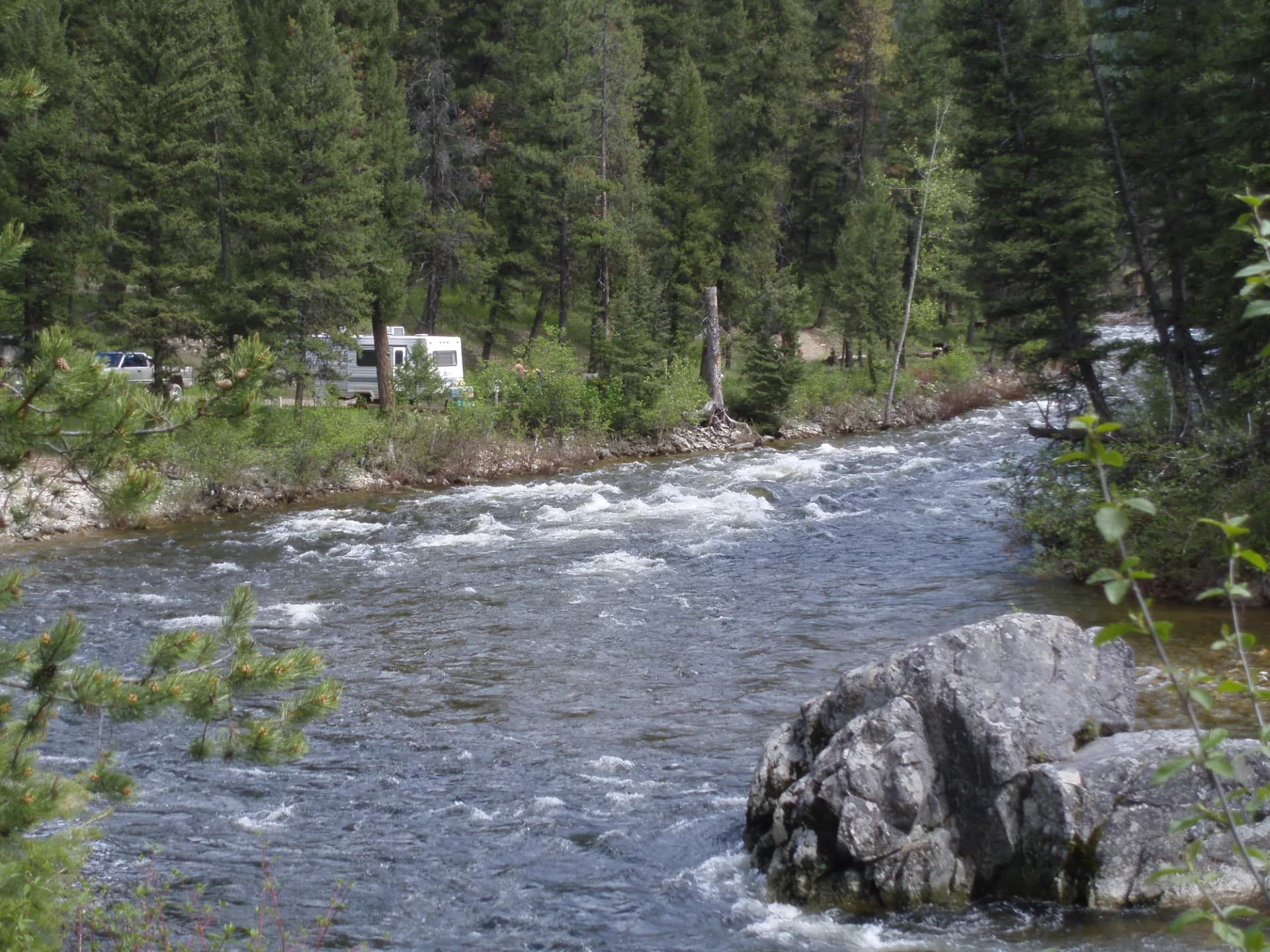
The Kootenai River and Lake Koocanusa
The Kootenai River below Libby Dam is a blue-ribbon tailwater trout fishery. The cold water released from the dam's hypolimnion maintains year-round temperatures ideal for rainbow trout, and the fishery produces fish of exceptional size relative to comparable rivers. Lake Koocanusa, the reservoir above the dam extending 90 miles into Canada, provides lake recreation and accessible camping along a shoreline accessible by car.
Best Trails
Eight trails capture the Kootenai's range from the iconic old-growth grove to the demanding Cabinet Mountains wilderness peaks.
Cabinet Mountains Wilderness Loop covers 14 miles through the core of the wilderness, visiting alpine lakes and sub-alpine ridgelines with views into the surrounding valleys and across to the Selkirk and Purcell ranges in Canada.
Ross Creek Cedars Trail is a 1.4-mile walk through the ancient cedar grove, the most visited and most accessible distinctive experience in the forest.
Leigh Lake Trail climbs 6 miles to a Cabinet Mountains lake with views of the surrounding peaks, one of the most accessible lake destinations in the wilderness.
Saint Paul Lake Trail is an 8.2-mile out-and-back to a cirque lake below Saint Paul Peak in the southern Cabinet Mountains, known for excellent grizzly bear habitat and solitude.
Ten Lakes Scenic Area Trail accesses the Ten Lakes Scenic Area in the Tobacco Valley area, a cluster of sub-alpine lakes and open parkland terrain near the Canadian border.
Kootenai Falls Trail is a short 1.8-mile round trip to the largest undammed waterfall on the Kootenai River, a cascade of impressive power even by Northwest standards.
Northwest Peak Trail climbs 7.4 miles round trip to the highest point in the northwest corner of Montana near the Idaho-Montana-Canada border, with exceptional tri-state views.
Hawkins Lakes Trail accesses a pair of remote alpine lakes in the Purcell Mountains area of the northeastern Kootenai, through old-growth forest with minimal foot traffic.
Permits and Passes
No permit is required for day hiking or dispersed camping on the Kootenai National Forest as of 2026. Developed campgrounds charge $12 to $22 per night (as of 2026).
The Cabinet Mountains Wilderness has no permit requirement for either day hiking or overnight camping as of 2026. Wilderness regulations apply: pack out all waste, no motorized vehicles, and follow fire restrictions that vary by season.
The America the Beautiful Annual Pass covers day-use fees at many federal recreation sites. For veterans' access programs, see our guides on the America the Beautiful pass for veterans and veteran benefits on national forests.
Camping
McGillivray Campground sits on Lake Koocanusa near Libby with 50 reservable sites and lake access. It is the primary developed camping hub for the northern forest and is popular for boating and fishing trips on the reservoir.
Rexford Bench Campground is a larger facility near the Canada border at the north end of Lake Koocanusa with 60 reservable sites and excellent lake views.
Bull River Campground occupies a forested site near the Cabinet Mountains Wilderness boundary with 27 first-come sites and access to wilderness trailheads.
Barron Creek Campground is a small, primitive site in the Cabinet Mountains area with 8 sites suited to backpackers and anglers accessing the Cabinet Range.
When to Visit
June through July opens the valley trails and the lower cabinet terrain while high peaks remain under snow. Ross Creek Cedars is accessible year-round but is most pleasant in early summer before the crowds.
July through August is the prime season. Most wilderness trails are clear, wildflowers peak in the high country, and the long days allow full-day objectives. The Cabinet Mountains see stable summer weather with afternoon thunderstorm potential on exposed ridges.
September through October brings fall color to the extensive larch and deciduous understory of the Kootenai. This is arguably the most beautiful time to visit, with gold larch and red huckleberry against the dark cedar-hemlock backdrop. Grizzly bears are active building pre-hibernation fat reserves in fall, so be especially attentive.
Winter brings excellent snowmobiling in the forest's road corridors and snowshoeing on lower-elevation cedar forest routes. Cross-country skiing near Libby attracts regional visitors.
Getting There
From Libby: The primary gateway city, Libby sits near the Kootenai River and provides the closest services to most of the forest's major trailheads. Most Cabinet Mountains access roads are 15 to 45 minutes from town. Libby has full services including fuel, lodging, and groceries.
From Kalispell: Drive west on US-2 approximately 85 miles (1.5 hours) to Libby. Kalispell has the nearest commercial airport, served by regional carriers from Seattle, Salt Lake City, and Denver.
From Spokane, Washington: Drive east on I-90 and north on US-2 through the Idaho panhandle to Libby, approximately 200 miles (3.5 hours).
Practical Tips
Grizzly bear awareness is not optional in the Kootenai. This is one of the most active grizzly bear recovery zones in the lower 48 states and the population here is documented and studied. Carry bear spray, know how to deploy it, and follow all USFS food storage guidelines. Bear canisters are strongly recommended for overnight wilderness camping. Our guide on bear canister requirements covers current storage standards.
The old-growth cedar forest holds moisture that generates an unusual microclimate: temperatures are cooler, the forest floor stays damp, and rain gear is useful even on partly cloudy days. Pack layers regardless of the forecast.
Cell service is limited to none in most of the forest. A satellite communicator is recommended for wilderness travel. Download maps offline before departing.
Check current conditions, fire restrictions, and wilderness access using the USFS checking guide. Follow Leave No Trace principles throughout, particularly in the grizzly recovery zone where human behavior directly affects recovery outcomes.