Overview
Malheur National Forest sprawls across 1.7 million acres of eastern Oregon, covering a landscape that shifts from high desert basins at 3,500 feet to the glacially sculpted summits of the Strawberry Range above 9,000 feet. The forest takes its name from the Malheur River, itself named by early French-Canadian fur traders meaning "unhappy water" after caches of pelts were repeatedly stolen along its banks.
The Strawberry Mountain Wilderness is the forest's centerpiece, protecting 68,700 acres of alpine terrain including Strawberry Lake, one of the most accessible and photogenic alpine lakes in eastern Oregon. Beyond the wilderness, Malheur offers a genuinely expansive landscape of ponderosa pine plateau, canyon grasslands, and remote ridges that see very little human traffic even in summer.
Why Malheur National Forest Stands Out
Strawberry Mountain Wilderness
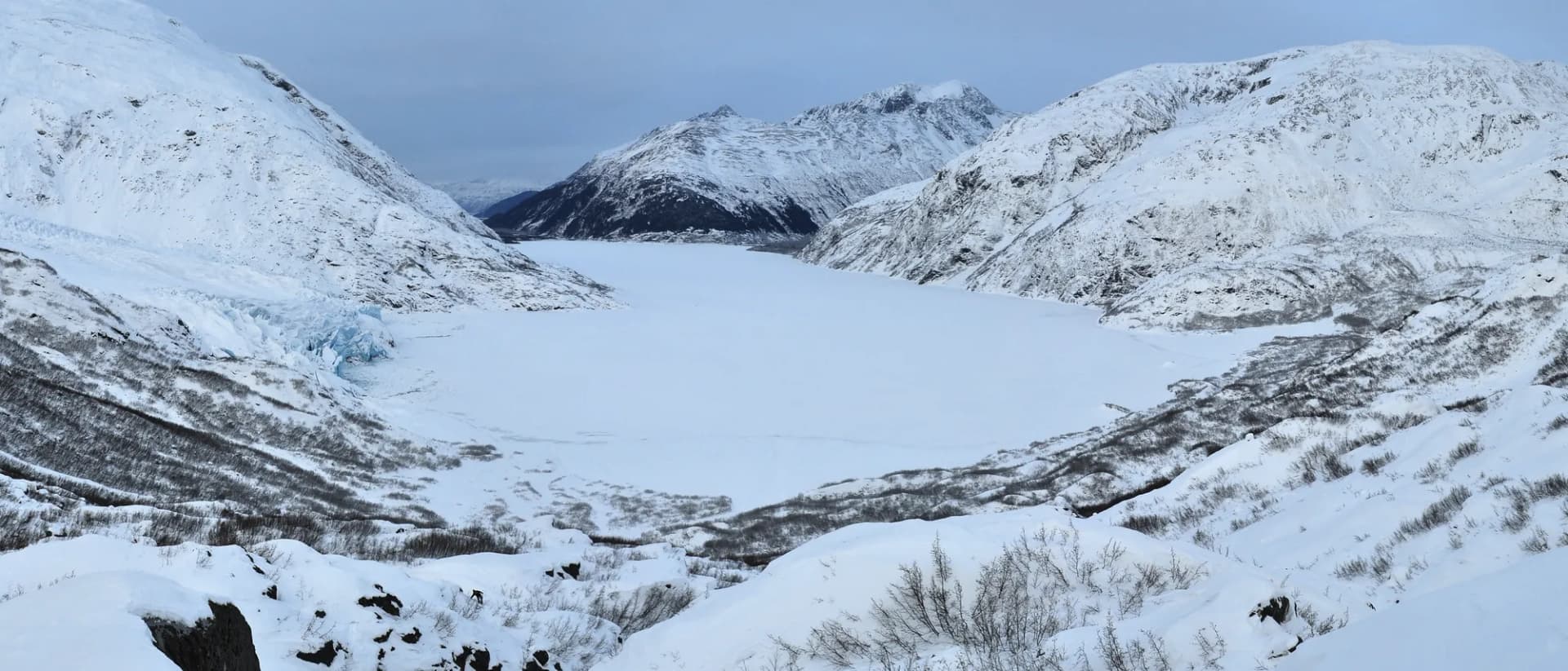
The Strawberry Range rises abruptly from the surrounding high desert, with Strawberry Mountain reaching 9,038 feet and visible from over 60 miles away on clear days. The wilderness contains a dozen named peaks, a handful of alpine lakes, and well-maintained trails accessible from the town of Prairie City. The contrast between the hot, dry basins below and the cool granite and glacial cirques above is striking.
Magone Lake and the Northern Plateaus
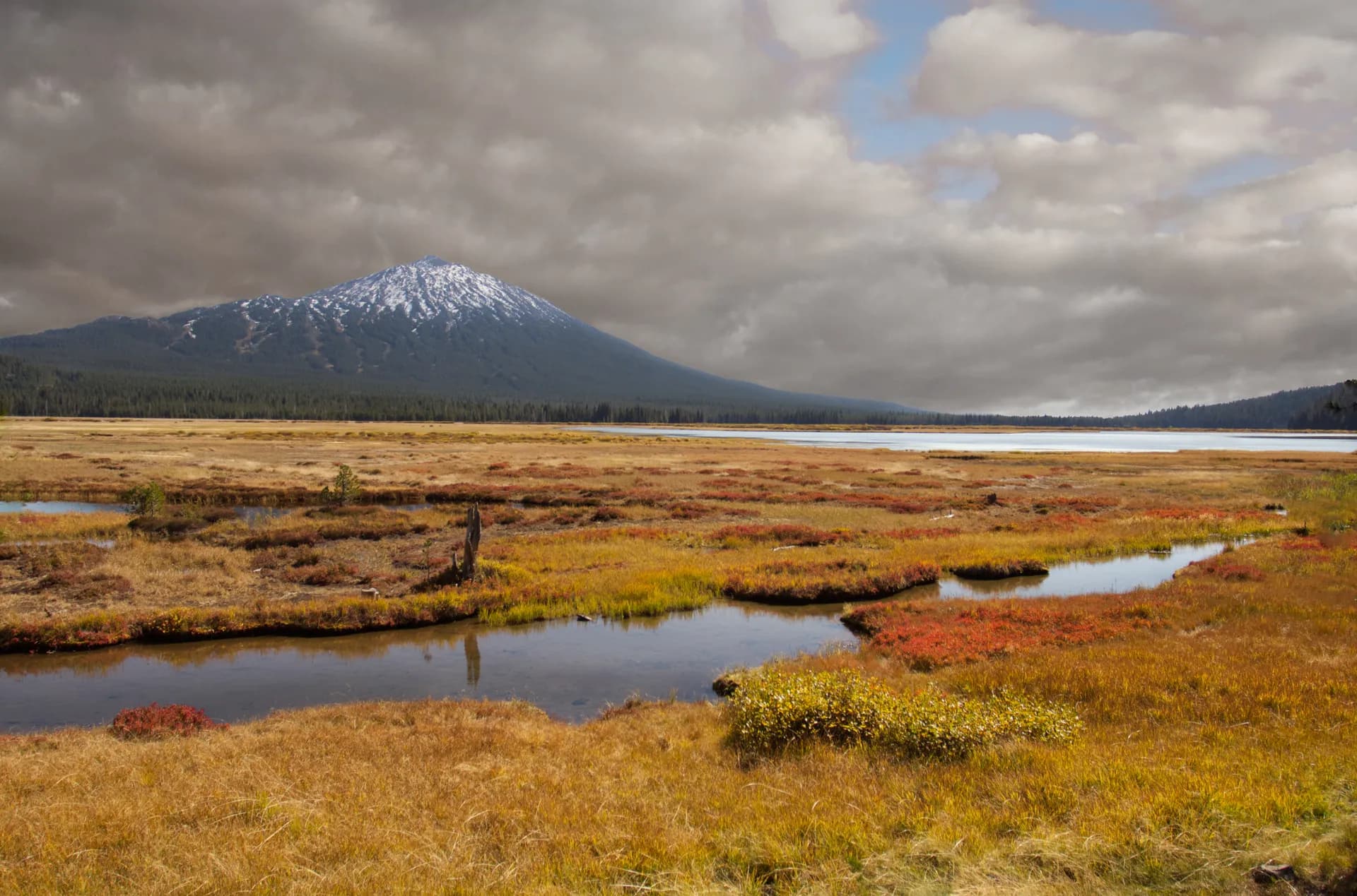
North of the Strawberry Range, Magone Lake sits in a glacially formed depression at 5,000 feet, surrounded by ponderosa pine and meadows. The lake's origin story is geological: a prehistoric landslide dammed a creek, creating a natural impoundment over centuries. The Magone Lake Campground and easy loop trail make this the most family-friendly destination in the forest.
Remote Eastern Oregon Basin Country
Much of Malheur National Forest is plateau and canyon country south of the Strawberry Range, crossed by forest roads and accessed by relatively few hikers. This is elk, mule deer, and pronghorn territory, and hunters from across the Pacific Northwest prize Malheur for its game populations. Dispersed camping is genuinely uncrowded here even in August.
Best Trails
The Strawberry Lake Trail is a 3.8-mile out-and-back to the most photographed alpine lake in eastern Oregon, with a clear turquoise lake backed by cliffs and talus. Moderate and appropriate for a wide range of experience levels.
The Strawberry Mountain Summit is a 12.6-mile out-and-back to the high point of the Strawberry Range (9,038 ft), with panoramic views across eastern Oregon. A demanding full-day hike.
The Canyon Creek Meadows Trail covers 7.2 miles through one of eastern Oregon's best wildflower displays, reaching open meadows and high-country vistas in the northern Strawberry Range.
The Magone Lake Loop is a short 1.6-mile lakeside loop accessible to all skill levels, popular with families camping at the adjacent campground.
The Little Strawberry Lake Trail is a 5.4-mile out-and-back to a smaller, more remote alpine lake above Strawberry Lake, continuing deeper into the wilderness.
The Wildcat Basin Trail covers 8.8 miles to a remote basin on the eastern slopes of the Strawberry Range, rarely visited even at peak season.
The Pine Creek Trail is a 6.2-mile out-and-back through old-growth ponderosa pine along a creek drainage in the forest's western district, excellent for birding and solitude.
The Krumbo Meadow Trail is a 4.4-mile loop through high desert meadow and ponderosa pine east of the Strawberry Range, good for wildlife viewing and early-season hiking.
Permits and Passes
No permit is required for day hiking or dispersed camping in Malheur National Forest, including the Strawberry Mountain Wilderness (as of 2026). Developed campground fees run $8-20/night (as of 2026) and reservations at Magone Lake Campground can be made through recreation.gov.
Wilderness camping in the Strawberry Mountain Wilderness requires no permit but group size limits and fire restrictions apply in summer. Check current conditions with the Blue Mountain Ranger District in John Day.
Veterans and active military qualify for discounted or free access through the America the Beautiful Pass program. See America the Beautiful Pass for Veterans and Veteran Benefits at National Forests.
Camping
Strawberry Campground is a 11-site primitive campground at the Strawberry Lake Trailhead, with vault toilets and no hookups. First-come-first-served at approximately $10/night (as of 2026), open June through October.
Magone Lake Campground offers 25 sites on the north shore of Magone Lake with vault toilets and a boat launch. Partially reservable through recreation.gov at $16/night (as of 2026), open May through October.
Starr Ridge Campground is a small, primitive 8-site facility in the southern forest with vault toilets. First-come-first-served at approximately $8/night (as of 2026), open June through September.
Dispersed camping is permitted throughout the national forest outside designated campground areas, free of charge (as of 2026). Camps must be 100 feet from water and roads.
When to Visit
Late June through July opens most wilderness trails as snow melts from higher elevations. The Strawberry Mountain Wilderness is typically accessible by late June in average snow years. Wildflowers peak in late June and early July.
August through September is peak season for the summit routes and for comfortable temperatures throughout the forest. This is also the most reliable period for the full Strawberry Mountain summit.
October brings fall color to the canyon grassland sections and is an excellent time for wildlife viewing as elk activity increases heading into the rut.
May through early June opens lower trails including Magone Lake and Pine Creek while higher elevation routes remain snowy.
Getting There
From John Day (15 miles, 25 minutes): The Blue Mountain Ranger District office in John Day is the primary gateway. Highway 26 south from John Day leads to the Prairie City trailhead access roads for the Strawberry Range. John Day has gas, groceries, and lodging.
From Burns (65 miles, 1 hour): Highway 395 north from Burns meets the forest's southern boundary. Burns provides full services and is the nearest commercial center for the southern forest districts.
From Bend (145 miles, 2 hours 15 minutes): US-20 east from Bend through Prineville to John Day is the most common approach from the population centers of central Oregon. The drive passes through interesting high desert and canyon country.
Practical Tips
Eastern Oregon weather moves fast. Afternoon thunderstorms are common above 7,000 feet from mid-July through August, and the exposed summit ridges should be cleared by noon. Check current forecasts and fire restrictions before every trip. See Checking Conditions Before You Go.
Black bears are present; store food properly. Mountain lions inhabit the Strawberry Range as well. Review Bear Canister Requirements for wilderness overnight trips.
The forest is at high elevation in summer but sun exposure is intense at 7,000-9,000 feet. Bring full sun protection. Water sources are reliable in the wilderness through September but dry up in plateau country; plan water carries accordingly.
Practice Leave No Trace 7 Principles on all trails, especially in the Strawberry Mountain Wilderness where fragile alpine soils and lake margins are sensitive to foot traffic.