Ochoco National Forest spreads across 845,000 acres of central Oregon's high plateau east of the Cascade crest, a landscape of open ponderosa pine woodland, volcanic rimrock, painted clay formations, and wide-open skies that feels unlike any other national forest in the Pacific Northwest. The Ochoco is a dryland forest, the ponderosa pine growing widely spaced over grass and bitterbrush understory in a park-like openness that gives long sight lines and an airy character missing from the dense fir forests to the west. Elevations range from around 3,500 feet on the lower Ochoco Creek drainages to 6,926 feet at Lookout Mountain.
The Ochoco's location east of Bend and south of the John Day Fossil Beds country makes it one of the least-visited national forests of its quality in the Pacific Northwest. The Deschutes and Mount Hood forests to the west pull enormous crowds from Portland and the Willamette Valley, while the Ochoco, just an hour from Bend, remains genuinely quiet on most weekdays and manageable even on summer weekends. For visitors willing to drive a little farther east, it delivers volcanic rimrock, wilderness canyons, and ponderosa pine solitude that the busier western forests cannot match.
Why Ochoco Stands Out
Lookout Mountain and the Ochoco high country. At 6,926 feet, Lookout Mountain is the highest point in the forest and the center of the Ochoco Wilderness, which encompasses 5,400 acres of subalpine forest, rocky ridgeline, and open meadow at the top of the plateau. The Lookout Mountain Trail climbs through mixed conifer forest to the summit with views spanning the entire Ochoco plateau, the Cascades, and on clear days, Mount Rainier and the Three Sisters. A historic fire lookout at the top is still standing.
Steins Pillar. One of the most striking volcanic formations in Oregon is not in the Cascades but in the Ochoco. Steins Pillar is a 350-foot column of welded tuff rising above Mill Creek canyon, visible from miles away and accessible via a maintained trail through old-growth ponderosa pine. The Steins Pillar Trail is the most popular hike in the forest, reaching the base of the pillar for close views of the formation.
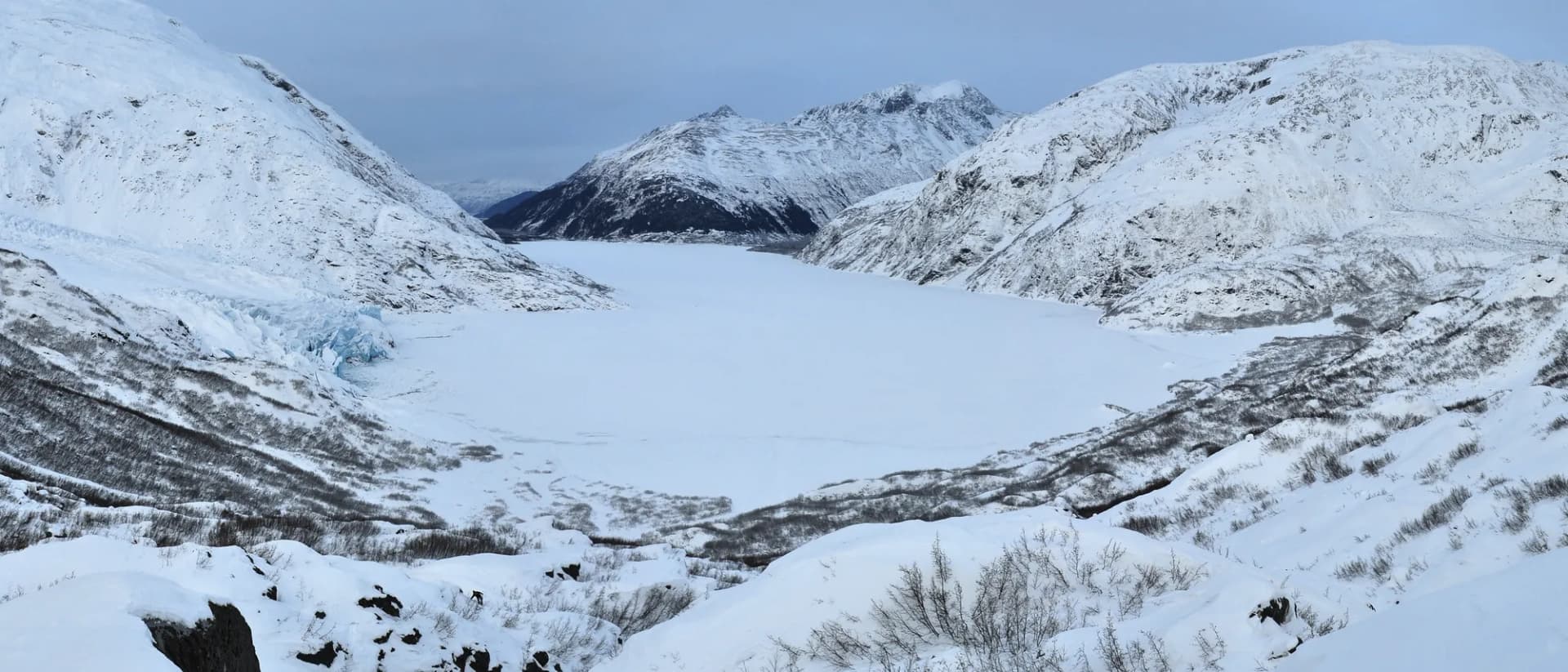
Black Canyon Wilderness. The 13,400-acre Black Canyon Wilderness preserves one of the deepest and most remote canyon systems in central Oregon, with old-growth ponderosa pine and juniper, a perennial wilderness creek, and a trail corridor that sees very few hikers even in summer. The wilderness character here is genuine: no maintained roads, no cellphone service, and wildlife including elk, mule deer, and occasional mountain lion.
Best Trails
The Lookout Mountain Trail (9.0 miles, moderate-hard) is the signature summit hike, climbing through mixed conifer forest to views that span the entire central Oregon plateau. The Steins Pillar Trail (4.0 miles, moderate) is the most popular trail in the forest, reaching the base of a dramatic 350-foot volcanic column through old-growth ponderosa pine.
The Black Canyon Wilderness Trail (9.2 miles, moderate) traverses the remote Black Canyon drainage with old-growth forest and wilderness solitude. The Walton Lake Loop (2.0 miles, easy) circles a small campground lake at 5,000 feet, popular with families and anglers.
The Round Mountain Trail (5.5 miles, moderate) climbs through old-growth ponderosa pine to open views on a secondary summit. The Mill Creek Wilderness Trail (6.5 miles, moderate) follows Mill Creek through the 17,400-acre Mill Creek Wilderness. The Twin Pillars Trail (9.0 miles, moderate-hard) reaches a pair of volcanic basalt columns in the remote forest interior. The Ochoco Divide Trail (7.5 miles, moderate) traverses the main ridge of the forest with broad views over both sides of the plateau.
Permits and Passes
No permit is required for day hiking or dispersed camping in Ochoco National Forest. Developed campground fees are modest compared to western Oregon forests, ranging from $5 to $16 per night (as of 2026). The America the Beautiful pass covers day use fees at developed recreation areas. Veterans and active military have additional options covered in our veteran benefits guide.
Fire restrictions apply in the forest typically from July through September. Check current conditions with the Ochoco National Forest office in Prineville or the USFS website before your trip. See our checking conditions guide for official links.
Camping
Walton Lake Campground (30 sites) is the primary developed campground in the forest, set on the shores of Walton Lake at 5,000 feet in ponderosa pine and fir. It is the base camp for Lookout Mountain hikes and the best campground for families. Reservable through Recreation.gov in summer.
Antelope Flat Campground (24 sites) sits on Antelope Reservoir in the southern part of the forest, popular with anglers and equestrian campers. First-come, first-served.
Deep Creek Campground (7 sites) is a small, quiet campground in the Deep Creek drainage, first-come, first-served. Good for those who want a backcountry character at a developed site.
Ochoco Lake Campground (22 sites, administered by Crook County adjacent to the forest boundary) provides an alternative base near Prineville with reservoir fishing access. First-come, first-served in shoulder season.
For dispersed camping, the ponderosa pine plateau offers dozens of forest road pull-offs and informal sites throughout the forest. No permit required at least 100 feet from water and roads.
When to Visit
May and June bring wildflowers to the forest meadows and full water in Ochoco Creek. Temperatures are mild (50s to 70s) and trails are generally snow-free at lower elevations by late May. The Lookout Mountain upper trail may hold snow into early June.
July through September is the core hiking and camping season. Temperatures reach the mid-70s to mid-80s. Early morning hiking is pleasant; afternoon heat is manageable at forest elevations. Wildfire smoke from elsewhere in Oregon can affect air quality in August and September.
October is one of the best months: the ponderosa pine bark turns golden in autumn light, elk are in rut and more visible, and trails are quiet. Temperatures drop quickly after sunset; pack layers.
November through April brings snow and cold. The forest road network is largely passable but some roads close. Cross-country skiing and snowshoeing are possible above 4,500 feet.
Getting There
From Bend: Take US-20 east to Prineville (30 miles), then US-26 east into the forest. Walton Lake and Lookout Mountain are about 55 miles east of Bend on US-26 and forest roads. Allow 1 hour.
From Portland: Take US-26 east over Mount Hood and through Madras to Prineville. The drive is about 185 miles and 3 hours.
From John Day/Burns: US-26 west from John Day reaches the eastern edge of the forest in about 40 minutes. The forest straddles US-26 for much of its length.
Practical Tips
Fire season is real in the Ochoco from mid-July through September. The ponderosa pine plateau is fire-adapted but not immune, and regional fires from elsewhere in Oregon can produce significant smoke. Check InciWeb and AirNow before any trip in July through September.
Wildlife in the Ochoco includes Rocky Mountain elk, mule deer, black bear, and pronghorn on the eastern edges of the forest. Black bears are present but infrequent on most trails; store food properly in camp. The elk rut in October brings bulls into the open meadows. The USFS recommends maintaining distance from wildlife and not approaching animals.
Water is less plentiful in the Ochoco than in western Oregon forests. Many trails cross seasonal creeks that run dry by late July. Carry more water than you think you need, especially on plateau ridge routes. The checking conditions guide has links to current USFS conditions reports.
Rattlesnakes are present on the drier lower slopes and rocky areas of the forest, particularly from May through October. The USFS recommends watching where you step and giving any snake you encounter space. Follow Leave No Trace principles throughout the forest.