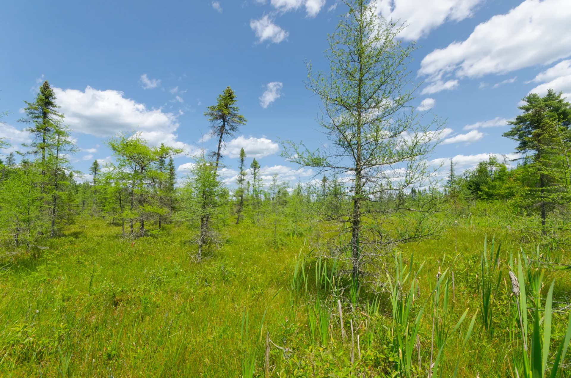
Ottawa National Forest covers 993,000 acres of Michigan's western Upper Peninsula, spreading across some of the most remote and waterfall-rich terrain in the eastern United States. The forest sits on the southern edge of the Lake Superior watershed in Michigan, where a landscape of ancient Canadian Shield rock, glacially carved lakes, and rivers dropping over basalt and sandstone ledges creates the conditions for more than 300 waterfalls. The sugar maple, yellow birch, and hemlock forests that cover the forest turn spectacular colors in September and October.
What distinguishes Ottawa from most eastern forests is its genuine remoteness. The Upper Peninsula has fewer people per square mile than nearly anywhere in the lower 48 outside the Mountain West. Campgrounds fill on summer weekends but trails outside the waterfall destinations remain consistently uncrowded. The combination of wilderness-quality backcountry, outstanding lake fishing, and world-class waterfall viewing within a day's drive of Chicago, Milwaukee, and Minneapolis makes Ottawa underrated and worth the drive.
Why Ottawa Stands Out
Sylvania Wilderness. The 18,000-acre Sylvania Wilderness contains one of the largest intact old-growth northern hardwood-hemlock forests remaining in the eastern United States. The 36 interior lakes have never been logged, their shorelines untouched by roads or development. Sugar maple and yellow birch rise to 100 feet, their root systems colonizing the glacial till. Entry requires a free wilderness permit (as of 2026). The Sylvania Wilderness Loop is the best introduction to this preserve.
More than 300 waterfalls. The rivers draining off the Ottawa upland drop repeatedly over basalt and sandstone ledges on their way to Lake Superior. The Black River corridor alone has five named waterfalls: Conglomerate, Potawatomi, Gorge, Sandstone, and Rainbow. The Black River Waterfalls trail strings them together on a single day hike. Bond Falls on the Ontonagon River is the single most dramatic waterfall in the forest and a short walk from the road.
Lake Superior at Black River Harbor. The Black River enters Lake Superior at Black River Harbor, one of the few points where a national forest meets the Great Lake directly. The harbor has a campground, a suspension bridge, and access to Superior's rocky shoreline. The views are vast and genuinely moving: Lake Superior is not a lake in any conventional sense, it is an inland sea.
Best Trails
The North Country Trail: Black River Waterfalls (8.5 miles, moderate) connects five major waterfalls in the Black River corridor from Chippewa Falls to Rainbow Falls at the lake. The Sylvania Wilderness Loop (7.0 miles, easy-moderate) circles through old-growth forest and lake shoreline in the wilderness area. The Bond Falls Loop (2.5 miles, easy) provides the most accessible experience of Ottawa's signature falls.
The Ester Lake Trail (4.8 miles, moderate) accesses a backcountry lake in the Sylvania unit with good fishing and camping. The Presque Isle River Trail (3.5 miles, easy-moderate) follows the river through its lower gorge to Lake Superior. The Victoria Dam Trail (5.0 miles, moderate) explores the Ontonagon River corridor above the historic Victoria Dam. The Sturgeon River Gorge Trail (6.5 miles, moderate-hard) accesses a dramatic gorge in the eastern unit with good wildlife viewing. The Porcupine Mountains Escarpment Trail (4.0 miles, moderate) traces the ridge above the Lake of the Clouds with some of the finest views in the Midwest, on the boundary between national forest and the adjacent Porcupine Mountains Wilderness State Park.
Permits and Passes
The Sylvania Wilderness requires a free entry permit through Recreation.gov (as of 2026), which helps limit visitor numbers and protect the old-growth ecosystem. No permit is required for day hiking or dispersed camping elsewhere in Ottawa National Forest. Developed campground fees are required at Black River Harbor and Sylvania Campgrounds, reservable through Recreation.gov. The America the Beautiful pass covers day use at developed recreation areas. Veterans and active military should review our veteran benefits guide.
Check for current closures and fire restrictions with the Ottawa National Forest website before your trip, and review our checking conditions guide for official links.
Camping
Black River Harbor Campground (40 sites) is the most popular campground in the forest, positioned at the mouth of the Black River where it meets Lake Superior. Sites are close to the suspension bridge and the start of the waterfall trail. Reservations through Recreation.gov are strongly recommended for summer weekends.
Sylvania Campground (48 sites) is located outside the wilderness boundary near the entry point for Sylvania. It serves as the base camp for most Sylvania visitors. Reservable in summer through Recreation.gov.
Perch Lake Campground (22 sites) is a quieter option in the interior of the forest, better for anglers and those who want to avoid the busy waterfall areas. First-come, first-served.
Dispersed camping is allowed throughout the national forest at least 100 feet from water and trails, except within the Sylvania Wilderness where designated camping sites are required.
When to Visit
June brings warmer temperatures after the long Upper Peninsula winter, full wildflower season, and the highest waterfall flows of the summer. Blackflies and mosquitoes are at their most intense in June; insect repellent is important.
July and August are peak season for lake swimming, kayaking, and fishing. The black flies diminish by mid-July but mosquitoes persist near water. Waterfall flows are lower but still impressive.
September and October are the best months overall. Fall color peaks from late September through mid-October, with the sugar maple and yellow birch providing an exceptional display. The insects are gone. Campground crowds thin after Labor Day.
November through April means snow, cold, and quiet. Cross-country skiing and snowmobiling are popular on the groomed trail systems. Lake Superior can produce spectacular lake-effect storms in November and December.
Getting There
From Chicago: Take I-94 north to Milwaukee, then US-41 north across the Mackinac Bridge area or US-45 north through the Peninsula. The drive from Chicago to Ironwood is about 6 hours.
From Minneapolis: Take I-35 north to Duluth, then US-2 east along Lake Superior to Ironwood and the forest. About 4 hours from Minneapolis.
From Marquette, MI: Head west on US-2 to Watersmeet, then north to the Sylvania and Ottawa areas. About 90 minutes.
Practical Tips
Black bears are common throughout Ottawa National Forest. The USFS recommends storing food in bear-resistant containers or hanging it at least 10 feet high and 4 feet from the nearest tree when camping. Bears in the Sylvania Wilderness are accustomed to human presence near campsites; extra vigilance with food storage is important there. See our bear canister guide for specifics.
Insects are the primary summer nuisance. Blackflies (early June) and mosquitoes (June through July) can be intense near water. DEET-based repellent or permethrin-treated clothing is strongly recommended for early summer visits. The fly pressure drops significantly by late July.
Weather in the Upper Peninsula changes quickly and can be severe. Lake Superior produces significant weather events, and the elevation of the Ottawa upland means temperatures 10 to 15 degrees cooler than southern Michigan. Always carry rain gear and a warm layer.
Leave no trace principles are especially important in the Sylvania Wilderness and along the popular waterfall corridor. Follow the Leave No Trace seven principles and review checking conditions for current fire restrictions and trail status.