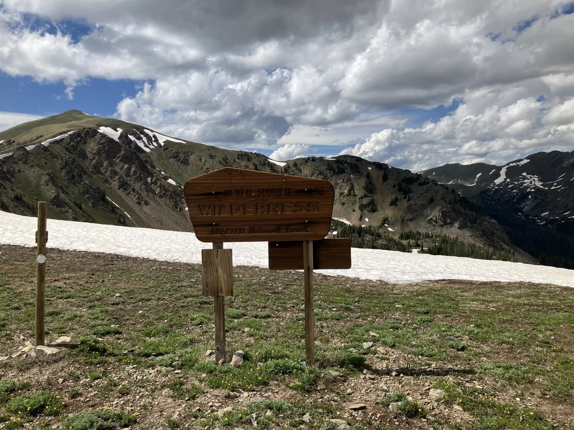
San Juan National Forest spans 1.87 million acres across the southwestern corner of Colorado, anchored by the San Juan Mountains, some of the most rugged and dramatic high-alpine terrain in the American West. The forest encompasses deep river canyons, high-elevation plateaus, ancient ponderosa forests, and the kind of jagged peaks that draw serious mountaineers from across the country. At its core sits the Weminuche Wilderness, 499,771 acres of roadless backcountry that stretches into neighboring Rio Grande National Forest and qualifies as Colorado's largest wilderness area.
The forest has been a gateway to outdoor recreation since the Durango & Silverton Narrow Gauge Railroad began carrying miners into the mountains in the 1880s. Today that same line carries hikers to remote trailheads that would otherwise require a long approach road. Durango serves as the primary hub, a city that has built its identity around outdoor access. The combination of varied terrain, reliable summer access, and proximity to services makes San Juan one of the most visited national forests in the Rocky Mountain region.
What separates the San Juans from other Colorado ranges is the scale and the character of the landscape. This is not polished resort country. The roads are rougher, the trails more demanding, and the weather less forgiving. That's the draw.
Why San Juan Stands Out
The Weminuche Wilderness is the crown of the forest. At nearly half a million acres, it offers multi-day routes that rarely cross a paved road. The Continental Divide Trail bisects the wilderness from north to south, giving through-hikers a long-distance spine to follow while side trails fan out to lakes, passes, and summits. The wilderness is genuinely remote, some sections require a full day's travel just to reach the boundary.
World-class 14er access brings technical hikers and peak-baggers to the forest every summer. Chicago Basin alone provides legal access to three 14,000-foot summits: Windom Peak (14,082 ft), Sunlight Peak (14,059 ft), and Mount Eolus (14,083 ft). These are not beginner peaks, loose rock, significant elevation gain, and afternoon lightning exposure demand experience and preparation. But the train approach makes them unique among Colorado's high routes.
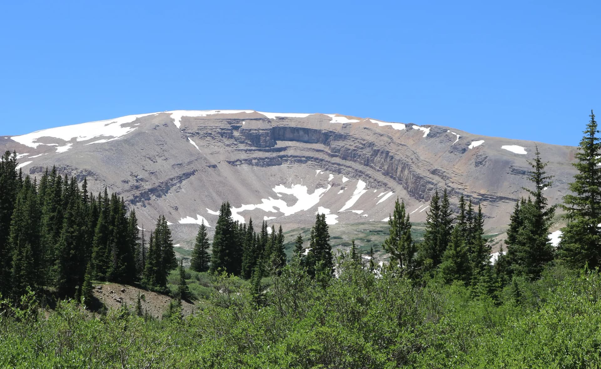
Volcanic geology and dramatic scenery give the San Juans a visual character that differs from the granite ranges farther north. Lizard Head, a volcanic neck rising 400 feet above the surrounding ridge, is one of the most recognizable formations in Colorado. The Needle Mountains, visible from Chicago Basin, present sheer quartzite faces that attract technical climbers. Ice Lake Basin displays a concentrated palette of colors, deep blue lake, red and orange talus, green tundra, that is genuinely difficult to overstate.
Best Trails in San Juan National Forest
Chicago Basin via Needle Creek is the signature route. The 14-mile round trip gains 3,200 feet and delivers hikers into one of the most dramatic basins in Colorado, with direct views of the Needle Mountains and access to three 14ers. The standard approach begins at the Needleton train stop, making a D&SNG reservation part of the logistics.
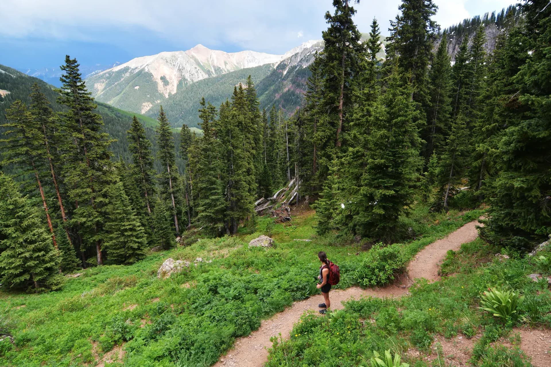
Ice Lake Basin covers 9 miles and 2,900 feet of gain from the South Mineral Creek trailhead. The payoff is a cirque of five alpine lakes at roughly 12,300 feet, surrounded by wildflower meadows and colored volcanic rock. This is one of the most visually spectacular day hikes in southwestern Colorado.
Lizard Head Wilderness Trail offers a 7-mile moderate-to-hard route through the Lizard Head Wilderness, with views of the Wilson Massif (three 14ers in a single group) and the volcanic spire of Lizard Head itself. The trail is less crowded than Chicago Basin and Ice Lake, making it a solid alternative for hikers seeking some solitude.
Weminuche Wilderness via Pine River enters the wilderness from the south via the Pine River trailhead near Vallecito Reservoir. The 12-mile out-and-back gains 2,000 feet and passes through old-growth spruce-fir forest before opening into the high-alpine terrain typical of the wilderness interior.
For something more accessible, Molas Lake Loop covers just 4 miles with minimal elevation gain and delivers panoramic views of the Needles, Grenadier Range, and the Animas River valley from the shores of Molas Lake.
Permits and Passes
San Juan National Forest does not require a day-use fee for most trailheads, though some developed sites charge for parking (as of 2026). A campfire permit is required anywhere you build a fire, these are free and available as self-issue forms at trailheads or online through the Rocky Mountain Area Coordination Center.
The America the Beautiful Annual Pass covers entrance fees at nearby Mesa Verde National Park and day-use fees at any fee-charging national forest sites. Veterans may qualify for a free lifetime pass. See veteran benefits for national forests for details on the Access Pass and Military Annual Pass.
Permits are not currently required for overnight camping in the Weminuche Wilderness (as of 2026), though this is subject to change. Always check current conditions and requirements before your trip.
Camping
Junction Creek Campground sits just 4 miles north of Durango, making it a practical base for exploring the southern end of the forest. The 34-site campground is well-maintained with vault toilets and easy access off paved road. Reservations are accepted through Recreation.gov and fill quickly in July and August.
Haviland Lake Campground, about 17 miles north of Durango on US-550, offers 43 sites near a small lake with good fishing for rainbow trout. It's a quieter alternative to Junction Creek and sees slightly less pressure.
Dispersed camping is permitted throughout much of the forest outside designated campgrounds. The general rule is 300 feet from water sources and 200 feet from trails. Many backcountry travelers car camp at informal sites along forest roads before entering the wilderness. Review Leave No Trace principles at our LNT guide before dispersed camping.
For a full overview of camping permit procedures, see how to get a national forest camping permit.
When to Visit
July through September is the reliable window for high-alpine travel in the San Juans. Snow can persist at passes and north-facing slopes through early July in average years, and late-season storms can deposit fresh snow above 11,000 feet as early as mid-September.
Mid-July brings the peak wildflower bloom at mid-elevations (9,000-11,000 ft), which is spectacular in wet years. Afternoon thunderstorms are common from late June through early August, plan to be below treeline by noon on exposed routes.
October delivers excellent fall color in aspen groves, particularly along US-550 north of Durango. The aspens typically peak between late September and mid-October. Many campgrounds close by October 1, but day hiking access remains good through mid-October most years.
Winter access is limited above road-closed elevations, but the Purgatory Ski Resort sits within the forest boundary, and snowshoeing and Nordic skiing are popular on groomed and ungroomed routes throughout the lower forest.
Getting There
Durango is the primary gateway and is served by Durango-La Plata County Airport (DRO) with connections to Denver, Phoenix, and Dallas. From Durango, US-550 (the Million Dollar Highway) runs north toward Silverton and provides access to many of the forest's most popular trailheads.
From Denver, take I-25 south to Walsenburg, then US-160 west to Durango (about 330 miles, roughly 5.5 hours). From Albuquerque, take US-550 north through Bloomfield to Durango (about 220 miles, 3.5 hours).
A high-clearance vehicle is strongly recommended for accessing many forest roads, particularly those leading to trailheads on the west side of the forest near Rico and Dolores. Four-wheel drive is advisable for roads rated as "4WD required" on the Motor Vehicle Use Map.
Practical Tips
Check the San Juan Public Lands Center in Durango before major trips. Staff there can provide current trail conditions, road closures, and fire restrictions. The center is a joint USFS/BLM office and carries all required permits and free campfire permit forms.
Cell service is limited or absent throughout most of the forest. Download offline maps before departing and carry a paper backup for multi-day routes. Many trailheads are out of range for any carrier.
Fire restrictions are common in summer, particularly in July and August. Check the current restriction level before building a campfire or using a stove that produces an open flame. Restrictions can change within 24 hours during high-fire conditions.
The Durango & Silverton train is a serious logistical consideration for Chicago Basin trips. Tickets sell out weeks in advance during peak season. Book as early as possible and verify current hiker drop-off policies directly with D&SNG.
Altitude affects visitors who arrive from lower elevations. Durango sits at 6,512 feet, while many trailheads exceed 10,000 feet. Many hikers experience mild headaches and fatigue during the first day or two at elevation. Consider arriving a day early to acclimate. See CDC guidance on altitude illness for context on individual risk factors.
Planning Your Trip
The San Juan Public Lands website and the Columbine Ranger District (Durango) are the best sources for current road and trail conditions. The Dolores and Pagosa Ranger Districts manage the western and eastern sections respectively.
For bear safety protocols in Colorado backcountry, review bear canister requirements and current USFS guidance. Bear canisters are not currently required in the Weminuche Wilderness (as of 2026) but are strongly recommended for multi-day trips.
If you're new to national forest travel, national forest vs. national park explains the key differences in rules, access, and what to expect when visiting public lands administered by the USDA Forest Service.