ForestMatters, LLC

Snoqualmie National Forest

Washington · 5 min read

State: Washington
Acres: 1,682,000
Established: 1908
Best Season: July through October
Trail Miles: 1,400 mi
Wilderness Areas: 3
Google MapsApple Maps
hikingbackpackingcampingfishingskiingsnowshoeingrock-climbingwildlife-viewingphotography

At a Glance

  • Alpine Lakes Wilderness with over 700 alpine lakes in a single wilderness area
  • Snoqualmie Pass, the most accessible Cascade crossing from Seattle
  • Mount Si, one of the most-hiked peaks in Washington State
  • Norse Peak Wilderness with summit views across the Cascades
  • Clearwater Wilderness protecting old-growth forest in the Carbon River drainage
  • Direct access from Seattle metropolitan area via I-90

Permits & Passes

Northwest Forest Pass (trailhead parking)Required

$5/day or $30/year (as of 2026)

Details
Alpine Lakes Wilderness OvernightOptional

Free (as of 2026)

Federal Discount Passes

  • Military Annual PassFree — active duty & veterans
  • Senior Pass$20 lifetime — ages 62+
  • Access PassFree lifetime — permanent disability
Learn more →

Snoqualmie National Forest covers roughly 1.68 million acres of the central Washington Cascades, stretching from Snoqualmie Pass north to Stevens Pass and east across the Cascade crest. Administered as part of the combined Mt. Baker-Snoqualmie National Forest, the Snoqualmie section is the most-visited national forest terrain in Washington State, sitting within an hour of Seattle and providing the primary alpine recreation outlet for the Puget Sound metropolitan area.

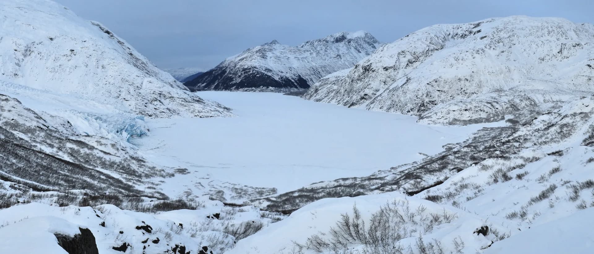
The forest's defining feature is the Alpine Lakes Wilderness, a 394,000-acre wilderness area containing more than 700 lakes and tarns in a landscape of granite peaks, glacially carved cirques, and subalpine meadows. Within this wilderness lies the Enchantments, an above-treeline lake basin that is arguably the most sought-after overnight hiking permit in the Pacific Northwest.

Trails

Snow Lake is the most accessible alpine lake in the forest, reached by the Snow Lake Trail from Snoqualmie Pass in 8 miles round-trip with 1,800 feet of gain. The trail passes through mature forest before emerging into open glacier-carved terrain above the lake. It is popular enough that trailhead parking fills early on summer weekends.

Mount Si is the most-hiked trail in Washington, an 8-mile out-and-back gaining 3,200 feet from the lowlands near North Bend to a summit plateau with views across the Puget Sound basin and to the Cascades in every direction. The trail is accessible from late spring through fall and draws year-round visitors on lower sections.

For easier options, Twin Falls covers 2.6 miles through old-growth forest to a series of waterfalls on the South Fork Snoqualmie River, one of the best short hikes in the forest. Little Si provides a moderate alternative to the main Mount Si trail, gaining 1,200 feet in 5 miles with comparable forest character.

The Granite Mountain Trail is one of the finest viewpoint hikes near Snoqualmie Pass, reaching an old lookout site with 360-degree Cascade views after 8.6 miles round-trip and 3,800 feet of gain.

Wildlife

Black bears are common throughout the forest and are regularly reported on popular trails including Snow Lake and the Snoqualmie Pass area. Mountain goats inhabit the rocky terrain of the Alpine Lakes Wilderness high country. Mule deer and black-tailed deer are widespread. The Carbon River and Clearwater drainages in the south support coho and chinook salmon runs. Spotted owls and marbled murrelets have been documented in old-growth stands in the Clearwater Wilderness. Follow current USFS guidance for wildlife encounters, and store food properly in all backcountry settings.

Getting There

From Seattle, take I-90 east approximately 35 miles to North Bend (Exit 31 or 32). For Snoqualmie Pass trailheads including Snow Lake and Granite Mountain, continue east on I-90 to Exit 52 (Snoqualmie Pass). For Mount Si, take Exit 32 from I-90 and follow Mount Si Road northeast approximately 3 miles to the trailhead. From Enumclaw (south gateway), take SR-410 north to connect with forest roads into the Norse Peak and William O. Douglas Wilderness areas.

Seasons

Summer (July through September): Peak season. High-country routes open progressively through July. Trailheads near Snoqualmie Pass draw large crowds on summer weekends; arrive before 8 AM for parking. Afternoon showers are common in August and September.

Fall (October through November): Excellent hiking with fewer people. Fall color in the vine maple and cottonwood begins in September. Some high-country routes can receive early snow in October.

Winter: Snoqualmie Pass has four downhill ski areas. Cross-country skiing and snowshoeing are popular from December through March on lower forest trails. Some forest roads close seasonally.

Spring (April through June): Lower trails accessible from April. High-country snow persists through June most years. Waterfall trails like Twin Falls are exceptional in May and early June.

Nearby

North Bend (population around 7,000) is the primary gateway for the I-90 corridor trails, with restaurants, a grocery store, and lodging. Snoqualmie Pass itself has ski area lodges and limited services at the pass. Cle Elum, on the east side of the Cascades about 20 miles east of the pass, is a small town with full services and serves as a base for east-side forest access. For permit guidance, see our national forest camping permit guide. Review Leave No Trace principles before any backcountry trip in this heavily used wilderness.

Planning and Resources

The Northwest Forest Pass ($5/day or $30/year as of 2026) is required at most developed trailheads in the Snoqualmie section of the combined Mt. Baker-Snoqualmie unit. America the Beautiful passes substitute for the Northwest Forest Pass. Veterans and permanently disabled individuals may qualify for federal discount passes. The Snoqualmie Ranger District office in North Bend is the primary contact for trail conditions, closures, and permit information. Weekend trailhead parking at I-90 corridor trailheads (Mount Si, Little Si, Twin Falls) fills extremely early; arrival by 7-8 AM is advisable on summer weekends. Wildfire is less common in the wetter west-slope Cascades but does occur; check InciWeb for any active situations before visiting. The 10 Essentials and checking conditions resources are practical references for any outing in this high-use forest.

Trail Guides

strenuousout-and-back

Commonwealth Basin Trail

10 mi2,800 ft gain
July through October

Hike Commonwealth Basin in Snoqualmie National Forest, Washington. This strenuous 10-mile out-and-back gains 2,800 feet to an alpine lake and high basin in the Alpine Lakes Wilderness with stunning views.

3 min read

strenuousout-and-back

Granite Mountain Trail

8.6 mi3,800 ft gain
July through October

Climb Granite Mountain in Snoqualmie National Forest, Washington. This strenuous 8.6-mile out-and-back gains 3,800 feet to a historic fire lookout with panoramic Cascade views and summer wildflowers.

3 min read

moderateout-and-back

Little Si Trail

5 mi1,200 ft gain
March through November

Hike Little Si in Snoqualmie National Forest, Washington. This moderate 5-mile out-and-back gains 1,200 feet through second-growth forest to a ridgeline with views of the Snoqualmie Valley and the Cascades.

3 min read

moderateout-and-back

Mirror Lake Trail

4.5 mi900 ft gain
July through October

Hike to Mirror Lake in Snoqualmie National Forest, Washington. This moderate 4.5-mile out-and-back gains 900 feet to a reflective alpine lake with wildflowers and Cascade mountain views.

3 min read

strenuousout-and-back

Mount Si Trail

8 mi3,150 ft gain
May through November

Climb Mount Si in Snoqualmie National Forest, Washington. This strenuous 8-mile out-and-back gains 3,150 feet to one of Washington's most climbed peaks with panoramic Cascade and Puget Sound views.

3 min read

moderate-hardout-and-back

Snow Lake Trail

7.2 mi1,800 ft gain
July through October

Hike to Snow Lake in Snoqualmie National Forest, Washington. This moderate-hard 7.2-mile out-and-back gains 1,800 feet to the largest alpine lake in the Alpine Lakes Wilderness with stunning Cascade views.

3 min read

moderateout-and-back

Talus Caves Trail

2 mi600 ft gain
April through November

Hike to the Talus Caves in Snoqualmie National Forest, Washington. This moderate 2-mile out-and-back gains 600 feet through forest to a fascinating jumble of boulders with natural cave passages in the Cascade foothills.

3 min read

easyout-and-back

Twin Falls Trail

2.6 mi500 ft gain
March through November

Hike to Twin Falls in Snoqualmie National Forest, Washington. This easy 2.6-mile out-and-back gains 500 feet through old-growth forest to two dramatic waterfalls on the South Fork Snoqualmie River.

2 min read

Campgrounds

Tinkham Campground

47 sitesReservable$22/night (as of 2026)

Denny Creek Campground

33 sitesReservable$22/night (as of 2026)

Kachess Campground

120 sitesReservable$24/night (as of 2026)

Getting There

North Bend
10 miles15 minutes
Enumclaw
15 miles25 minutes
Seattle
35 miles45 minutes

More in the Pacific Northwest

Frequently Asked Questions

Is Snoqualmie National Forest the same as Mt. Baker-Snoqualmie National Forest?
Snoqualmie National Forest is the southern portion of the combined Mt. Baker-Snoqualmie National Forest administrative unit. The Snoqualmie section covers the Cascades south of US-2 (Stevens Pass), including the Alpine Lakes Wilderness and Snoqualmie Pass, while the Mt. Baker section covers the northern Cascades above Stevens Pass. Both sections are administered from the supervisor's office in Everett.
Do I need a permit to hike in the Alpine Lakes Wilderness?
No overnight permit is required for the Alpine Lakes Wilderness as of 2026, though high-use areas like the Enchantments (within the Alpine Lakes Wilderness but accessed from Wenatchee National Forest) do require permits. Day hiking in Alpine Lakes Wilderness does not require a permit beyond the Northwest Forest Pass for trailhead parking. Verify current requirements with the North Bend Ranger District before your trip, as permit systems are subject to change.
Is Mount Si a difficult hike?
Mount Si is 8 miles round-trip with approximately 3,200 feet of elevation gain. The trail is well-maintained but relentlessly steep in sections. The gain comes primarily in the first 3.5 miles. The hike is described as strenuous and is not recommended for those new to elevation gain or without adequate fitness preparation. The summit area (the Haystack) requires a short scramble and is optional. Many hikers turn around at the main summit plateau.
When do trails at Snoqualmie Pass open after winter?
Lower-elevation trails like Twin Falls are accessible year-round. The Snoqualmie Pass area trails (Snow Lake, Commonwealth Basin, Granite Mountain) typically open by late June. High-country routes in Alpine Lakes Wilderness are usually snow-free by mid-July in most years. The Norse Peak and William O. Douglas Wilderness trails to the south open later, often not until mid-July. Check current conditions with the North Bend or Enumclaw Ranger Districts before your trip.
Federal Discount Passes

Free and Discounted Entry for Qualified Visitors

Military Annual Pass

Active duty & veterans (any discharge except dishonorable)

Free · Annual

Senior Pass

U.S. citizens or permanent residents age 62+

$20 · Lifetime

Access Pass

Permanent disability (includes 50% off many camping fees)

Free · Lifetime
Get passes at any ranger station or store.usgs.gov/passLearn more →