Targhee National Forest covers roughly 1.6 million acres spanning the west slope of the Teton Range and the broad volcanic plateau of the Island Park area in eastern Idaho and a portion of western Wyoming. The forest is the northern portion of the combined Caribou-Targhee National Forest, sharing a supervisor's office in Idaho Falls with the Caribou section to the south. The Targhee section draws its name from Targhee, a Bannock leader of the 19th century, and the forest represents one of the primary gateways to the west side of the Tetons and the southern edge of the Yellowstone ecosystem.
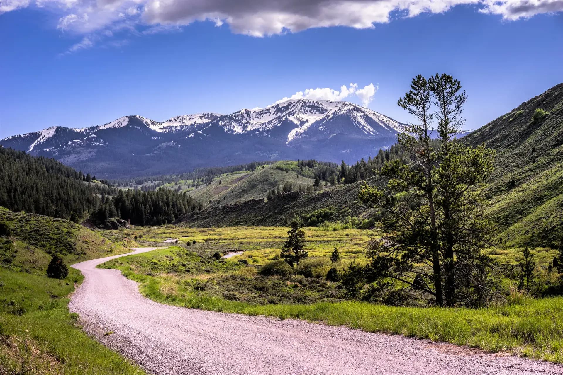
The Teton west slope, accessed through Teton Canyon from the Teton Valley communities of Driggs and Victor, offers the same granite peaks and dramatic vertical relief as Grand Teton National Park without the entrance fees and permit requirements that characterize the park's east-side trailheads. The Jedediah Smith Wilderness protects most of this west-slope terrain.
Trails
The Teton Crest South Trail is the premier multi-day route in the forest, covering 20 miles of the Teton Divide with continuous high-alpine scenery. This section of the Teton Crest Trail passes through the Jedediah Smith Wilderness and connects to the Alaska Basin area, where tarns and wildflower meadows fill a high cirque directly below the main Teton summits. The route requires two to three days and considerable fitness and alpine experience.
Moose Creek Trail offers a more accessible 9-mile round-trip through the Jedediah Smith Wilderness, reaching a forested valley with reliable moose sightings and connecting to the broader wilderness trail network. For day hikers seeking a shorter Teton experience, Bear Gulch Trail covers 7 miles with consistent mountain views.
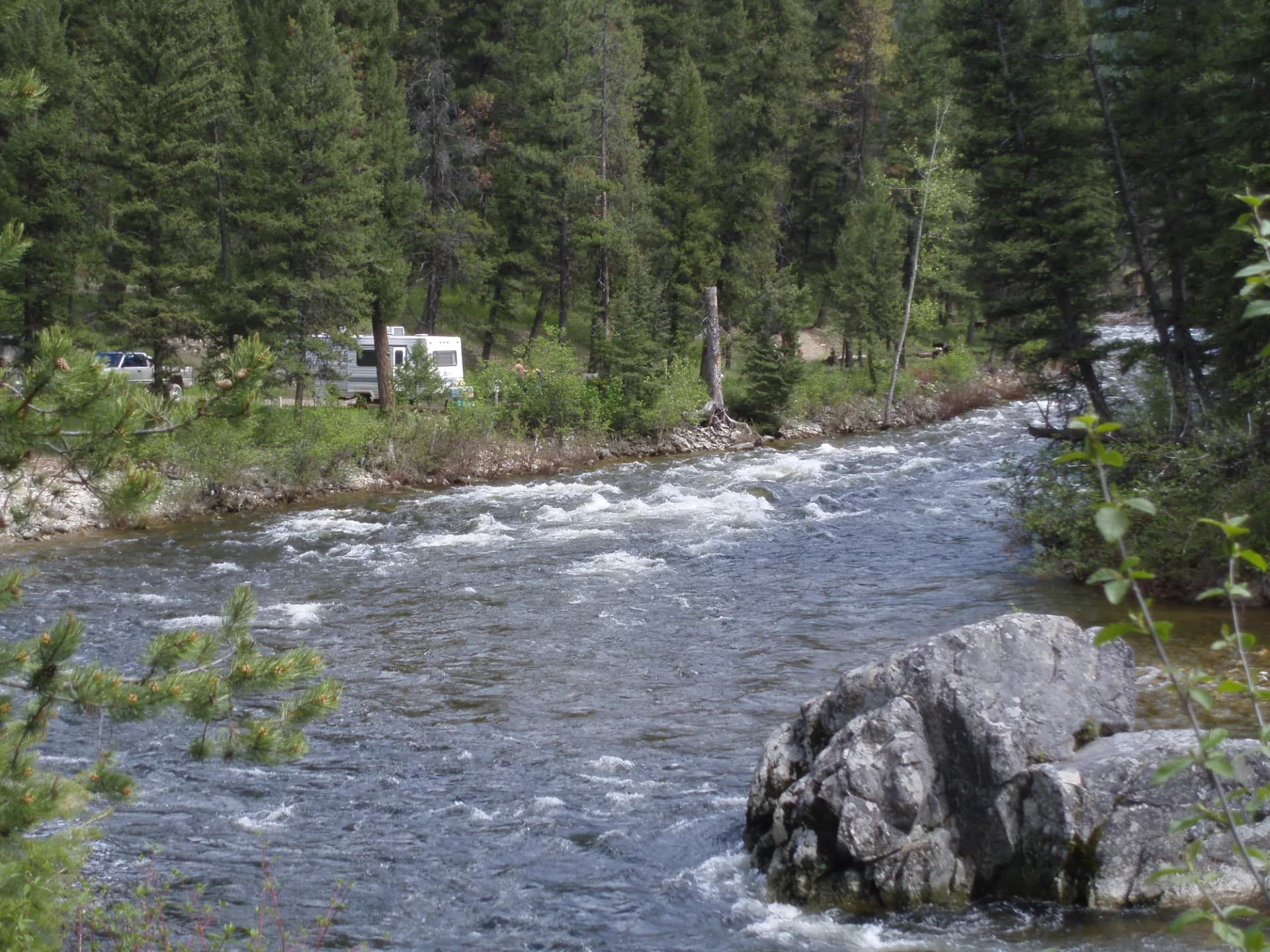
In the Island Park area, the Henry's Fork Caldera Trail traverses volcanic terrain around the Island Park caldera, providing geological interpretation and views across the high plateau. The Harriman Trail is an easy 6-mile route through the historic Harriman Ranch property adjacent to the forest, with excellent bird watching and moose viewing along the Henry's Fork.
Wildlife
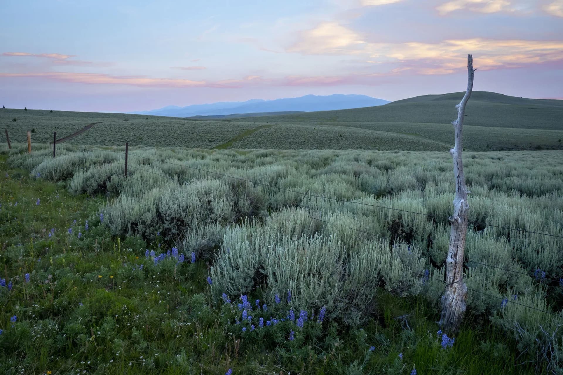
The Targhee section sits within the Greater Yellowstone Ecosystem, which supports one of the largest intact temperate wildlife assemblages remaining in the Northern Hemisphere. Grizzly bears are present in and near the Teton corridor and the forest's northern sections bordering Yellowstone; the USFS and Idaho Fish and Game publish current activity advisories. Moose are common in the riparian areas throughout the forest, particularly along Henry's Fork and in the Teton Canyon approach. Elk herds move through the forest seasonally and concentrate in the lower meadows during fall. Bison occasionally range into the forest from Yellowstone. Gray wolves from the Yellowstone and central Idaho packs have been documented throughout the region. Follow current USFS guidelines for wildlife encounters and carry bear spray in the Teton and northern sections.
Getting There
The primary access to the Teton side of the forest is through the Teton Valley, Idaho, with the towns of Driggs and Victor on US-33. From Idaho Falls, take US-20 north to Rexburg, then US-33 east toward Driggs, approximately 90 miles total. From Jackson, Wyoming, cross Teton Pass on WY/ID-22 and descend into Teton Valley on the Idaho side, approximately 25 miles. For the Island Park area (Henry's Fork, Mesa Falls), take US-20 north from Idaho Falls through Rexburg to Island Park and Ashton, approximately 80 miles. Mesa Falls is accessed via the Mesa Falls Scenic Byway east of Ashton.
Seasons
Summer (June through September): The primary hiking and fishing season. High-country trails in the Jedediah Smith Wilderness are typically snow-free by late June. Henry's Fork fly fishing peaks in summer. Island Park sees significant summer recreational use.
Fall: Hunting season in October draws visitors for elk and deer. The Greater Yellowstone wildlife migrations make September and October excellent for wildlife viewing.
Winter: Island Park is a major snowmobiling destination from December through March, with extensive groomed trails. Grand Targhee Resort (on the Wyoming side of the range, accessed via Teton Canyon Road) provides downhill skiing.
Spring: Snowmelt fills Henry's Fork. Lower-elevation trails accessible by late May. High-country routes require patience until late June.
Nearby
Driggs (population around 1,700) and Victor are the primary Teton Valley gateway communities, with restaurants, lodging, and outdoor gear shops. Grand Teton National Park is accessible via Teton Pass approximately 25 miles to the east. Island Park, a resort community on US-20, serves the Henry's Fork corridor with lodging and services oriented toward fishing and snowmobiling visitors. Idaho Falls, 60 miles to the south, is the closest full-service city with an airport. Review bear canister requirements before any wilderness overnight trip, and check conditions before you go. Practice Leave No Trace principles throughout, especially in the heavily used Teton Canyon corridor.
Planning and Resources
America the Beautiful passes cover applicable fee sites in the combined Caribou-Targhee unit. Veterans and permanently disabled individuals may qualify for federal discount passes. The Teton Basin and Ashton-Island Park Ranger Districts are the primary contacts for trail conditions and permit information. Overnight camping in the Jedediah Smith Wilderness requires a self-issued permit (free, obtained at trailhead registers as of 2026). Bear canisters are strongly recommended for all Jedediah Smith overnight trips given active black bear populations. The Henry's Fork of the Snake River is one of the most storied dry-fly trout fishing streams in North America; Idaho Fish and Game manages licensing requirements. The 10 Essentials checklist is a useful reference for any outing in this forest, which spans from valley floor to high alpine terrain across a substantial elevation range.