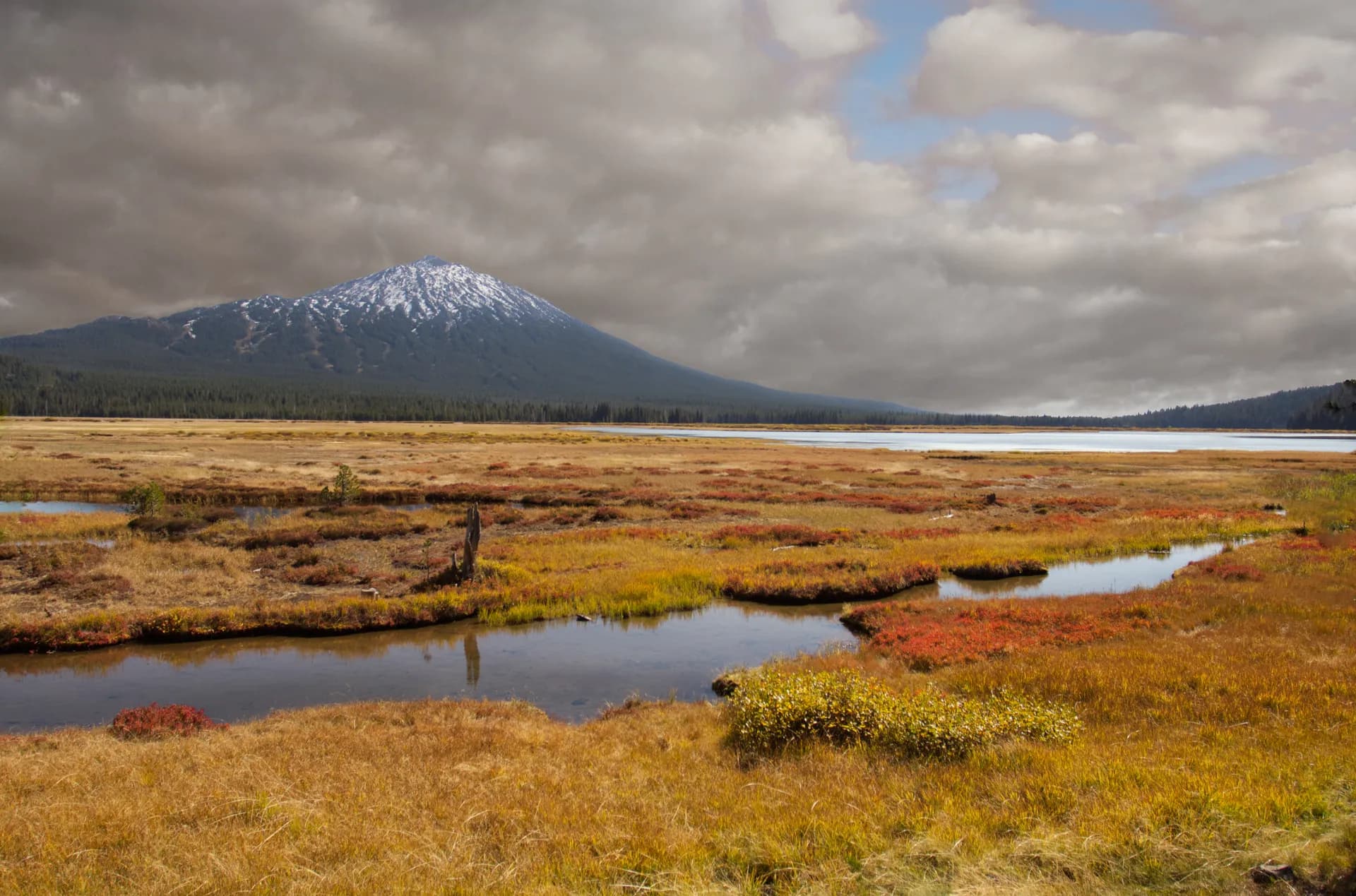
Umatilla National Forest spreads across 1.4 million acres of the Blue Mountains in northeastern Oregon and southeastern Washington, a region that does not match anyone's postcard idea of the Pacific Northwest but has its own distinct and compelling character. The Blue Mountains are older and lower than the Cascades, built of volcanic basalt and deeply dissected by rivers that cut canyon systems hundreds of feet deep. Ponderosa pine dominates the lower slopes, giving way to grand fir, larch, and Engelmann spruce as elevation rises. Ridgelines open onto sweeping views of canyon country that extends for miles in every direction without a road or building in sight.
The forest is less visited than almost any comparable acreage in the Northwest. Its remoteness from major population centers, combined with an interior road network that requires forest roads and patience to traverse, keeps crowds low and trailhead parking lots manageable even on summer weekends. Pendleton and La Grande are the nearest cities of any size, and the forest serves as the primary public lands playground for residents of northeastern Oregon and the Walla Walla, Washington area.
Why Umatilla Stands Out
Old-growth ponderosa pine at North Fork John Day. The North Fork John Day Wilderness protects 121,000 acres of some of the least-disturbed old-growth ponderosa pine forest remaining in the Pacific Northwest. The North Fork John Day River cuts through this landscape in a canyon that drops 1,000 feet below the surrounding plateau. Old ponderosas here reach 200 to 300 years of age, with the characteristic orange and black bark plates, open parklike spacing, and the vanilla smell of warm bark that defines mature ponderosa stands. The North Fork John Day Trail follows the river through the heart of this wilderness for over 20 miles.
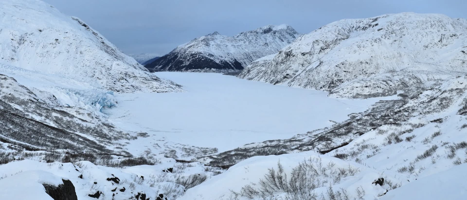
Wenaha-Tucannon Wilderness. At 177,000 acres, the Wenaha-Tucannon is one of the most remote wilderness areas in either Oregon or Washington. The terrain is canyon-dominated, with the Wenaha River cutting a canyon 1,500 feet deep through basalt and gravel deposits. Rocky Mountain bighorn sheep were reintroduced here in 1967 and the population has thrived, making the canyon rims some of the best places in the Northwest to watch bighorn in their element. The Wenaha River Trail runs the length of the canyon from Troy, Oregon into the Washington portion of the wilderness.
Steelhead and salmon rivers. Several major tributaries of the Columbia pass through or originate in Umatilla National Forest, including the Grande Ronde, Wenaha, and Umatilla Rivers. All support runs of wild chinook salmon and steelhead that travel hundreds of miles from the Pacific Ocean. The Grande Ronde in particular is one of the top steelhead rivers in the Northwest, and the forest's interior streams support resident populations of bull trout, a species that requires cold, clean water and intact stream habitat to persist.
Best Trails
The Wenaha River Trail (19 miles one way, moderate) is the defining hike of the Wenaha-Tucannon Wilderness, following the river through a deep basalt canyon with bighorn sheep watching from the rims above. Most hikers do it as a multi-day backpack, entering at Troy and exiting at the trailhead near Dayton, Washington. The North Fork John Day Trail (23 miles one way, moderate) is the other great wilderness route, running through old-growth ponderosa canyon country with good fishing and wildlife throughout.
For day hikers, the Table Rock Wilderness Trail (5.5 miles round trip, moderate-hard) climbs to a volcanic rimrock plateau with 360-degree views of the Blue Mountains. The Jubilee Lake Loop (3.8 miles, easy) circles a high-elevation reservoir popular with families and beginners.
The Painted Hills Connector Trail (4 miles, easy-moderate) traverses the rolling high country near the forest's western boundary. The South Fork Umatilla River Trail (7 miles, moderate) follows a cold trout stream through a narrow canyon with good wildlife habitat. The Lookingglass Creek Trail (6 miles, moderate) traces a tributary of the Grande Ronde through mixed conifer forest. The Tucannon River Loop (8 miles, moderate-hard) drops into the Washington portion of the Wenaha-Tucannon canyon country.
Permits and Passes
No permit is required for day hiking or dispersed camping throughout Umatilla National Forest. Self-issue wilderness permits are available at several trailhead registers for the North Fork John Day and Wenaha-Tucannon Wilderness areas; these are free and used for visitor use tracking. Developed campgrounds charge a nightly fee (as of 2026), payable at the site or through Recreation.gov where reservations are available. The America the Beautiful pass covers day use fees at developed recreation areas. Veterans and active military have additional options in our veteran benefits guide.
Fire restrictions are common from July through September. Always check current restrictions at the USFS Umatilla website before entering the forest, particularly if you plan to use a campfire. Our checking conditions guide covers all official sources.
Camping
Jubilee Lake Campground (48 sites) is the most developed and popular campground in the forest, sitting on the shore of a 90-acre reservoir at 4,800 feet elevation near Tollgate. It has vault toilets, drinking water, and reservable sites, and fills on summer weekends. Fishing and paddling on the lake draw most visitors.
Target Meadows Campground (20 sites) occupies a large meadow on the edge of the Wenaha-Tucannon Wilderness near Pomeroy, Washington. It is a popular staging area for wilderness trips and a quiet base for day hiking in the high plateau country. No reservations, first-come.
Mottet Campground (6 sites) is a small, primitive camp at 5,500 feet elevation near the Wenaha-Tucannon Wilderness boundary. It is basic but serves hikers entering the wilderness from the Washington side. Open July through September depending on snowpack.
Woodland Campground (15 sites) sits in ponderosa pine forest near the Oregon portions of the forest, with vault toilets and direct access to forest road networks connecting to trail systems.
For dispersed camping, Umatilla's vast acreage and low visitation make it one of the easier forests in the Northwest for finding a quiet site away from developed areas. Stay at least 100 feet from water and trails, and pack out all waste.
When to Visit
June and July are the transition months. Snow clears from high trails in June (variable by year), wildflowers peak in open meadows through July, and temperatures are mild. Mosquitoes can be significant near creeks and meadows through late June.
August and September are the driest and most comfortable months for hiking. Fire smoke from regional fires sometimes affects air quality; check AirNow conditions before multi-day backcountry trips. Elk are active through summer, and early September brings the beginning of bugling season.
October is a compelling month to visit. Western larch turns brilliant gold across the high slopes, elk bugle through the canyon country, and hunting season begins. Hikers on popular trails during firearm seasons should wear blaze orange as a precaution.
November through May sees snow at higher elevations from October through May in most years. Snowmobiling and cross-country skiing use forest roads and some trail corridors. Lower canyon trails (Wenaha River, North Fork John Day) can be hiked year-round in mild winters, but expect cold and wet conditions.
Getting There
From Pendleton, OR: Take I-84 east to US-30 east, or head south on US-395 to reach the forest's southern portions. The forest supervisor's office is in Pendleton. Allow 45 to 60 minutes to reach most trailheads from town.
From La Grande, OR: The La Grande Ranger District covers the southern forest. Take OR-82 east toward Elgin, then forest roads north to access the North Fork John Day area. Allow 1 to 1.5 hours to wilderness trailheads.
From Walla Walla, WA: Take US-12 east toward Dayton and Pomeroy to access the Washington portions of the forest and the Wenaha-Tucannon Wilderness. Target Meadows and Troy are primary entry points. Allow 1 to 1.5 hours.
Practical Tips
Rattlesnakes are present in the lower canyon country, particularly in the Wenaha and Grande Ronde drainages below 3,500 feet. They are most active in spring and early summer when they emerge from hibernation. Follow USFS guidance: watch where you step and place your hands, give any snake you encounter a wide berth, and stay on trail in rocky terrain.
Water sources in the wilderness areas require treatment. The forest's rivers and streams are generally clean but carry giardia. Many hikers carry a filter or chemical treatment for all water obtained from natural sources.
Road conditions matter significantly in Umatilla. Many trailheads are accessed on unpaved forest roads that require high-clearance vehicles, particularly after spring snowmelt. Call the ranger district before making a long drive to a trailhead in early season.
Leave No Trace principles are especially important in the wilderness areas of Umatilla, where use is concentrated at popular camping spots along river corridors. The Leave No Trace seven principles cover campfire management, waste disposal, and minimizing impact in remote settings. Review our checking conditions guide for fire restriction and trail condition resources.