ForestMatters, LLC

Winema National Forest

Oregon · 5 min read

State: Oregon
Acres: 1,005,000
Established: 1961
Best Season: July through October
Trail Miles: 600 mi
Wilderness Areas: 2
Google MapsApple Maps
hikingbackpackingcampingfishinghuntingsnowshoeingwildlife-viewingphotographycross-country-skiing

At a Glance

  • Sky Lakes Wilderness, a high-plateau wilderness of volcanic lakes and meadows
  • Mountain Lakes Wilderness, a compact wilderness preserving a caldera lake basin
  • Pelican Butte, a high volcanic peak with panoramic Cascade views
  • Klamath Marsh National Wildlife Refuge adjacent to the forest's eastern edge
  • Diverse conifer forest transitioning from Cascade to Great Basin plant communities
  • Southern approach to Crater Lake National Park's volcanic landscape

Permits & Passes

Day Hiking and Dispersed CampingOptional

Free (as of 2026)

Developed Campground FeesRequired

$12-20/night (as of 2026)

Details

Federal Discount Passes

  • Military Annual PassFree — active duty & veterans
  • Senior Pass$20 lifetime — ages 62+
  • Access PassFree lifetime — permanent disability
Learn more →

Winema National Forest covers roughly one million acres of the eastern Cascade slopes in south-central Oregon, stretching from the southern rim of Crater Lake National Park south to the California border area and east toward the Klamath Basin. It forms the eastern portion of the combined Fremont-Winema National Forest, sharing administration with the Fremont section covering the high desert country to the east. The forest is named for Winema (Toby Riddle), a Modoc woman who played a significant role as a translator and peacemaker during the Modoc War of 1872-73.

The Winema section occupies an ecological transition zone between the wetter western Cascade forests and the drier pine country of the Klamath Basin. This transition produces a distinctive mix of plant communities: dense true fir forest at the highest elevations giving way to ponderosa pine at mid-elevations and ultimately to the open country of the Klamath marshes and Upper Klamath Lake below.

Trails

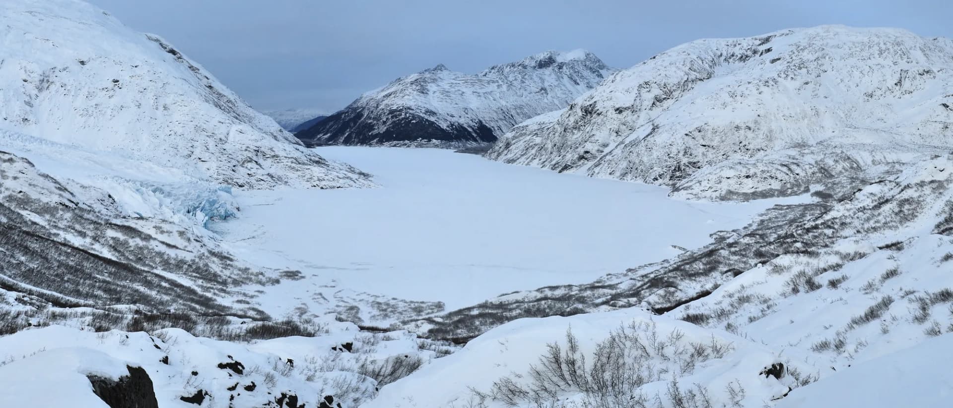
The Sky Lakes Wilderness Trail provides access to the southern portion of the Sky Lakes Wilderness from Fourmile Lake trailhead, covering 16 miles through a chain of volcanic lakes and meadows on the Cascade Divide. The trail connects to the Pacific Crest Trail corridor running through the wilderness and offers backpacking opportunities ranging from one to several nights.

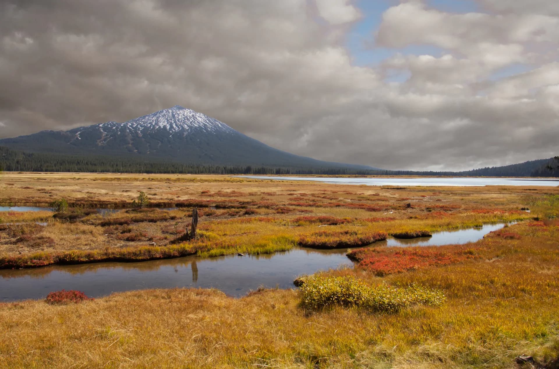
Pelican Butte is the signature viewpoint hike in the Winema section, a 5-mile round-trip gaining 2,500 feet to a summit overlooking the Klamath Basin, Upper Klamath Lake, and distant Cascade peaks. The views on a clear day extend north to the visible caldera rim of Crater Lake. This is the best single hike for visitors wanting a panoramic introduction to the forest's landscape.

The Mountain Lakes Wilderness Loop is a 17-mile circuit through the compact Mountain Lakes caldera basin, offering a genuine wilderness backpacking experience close to Klamath Falls. The loop visits multiple volcanic lakes in terrain shaped by ancient volcanic collapse.

Brown Mountain Trail traverses the lower flanks of a young volcanic cone through lava flow terrain and older forest, 9 miles that mix geological interest with forest walking.

Wildlife

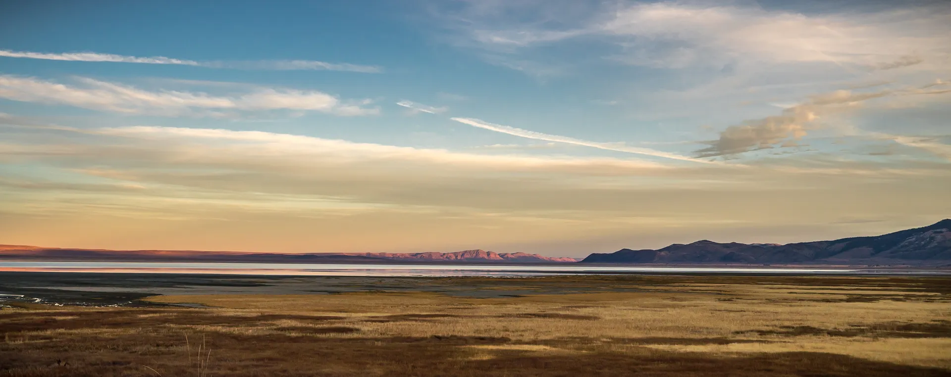
The Klamath Basin, adjacent to the forest's eastern and southern edges, is one of the most important waterfowl staging areas on the Pacific Flyway, with millions of ducks and geese using the basin during fall migration. Sandhill cranes are present in spring and fall. Osprey and bald eagles are common along the lake corridors. American white pelicans nest in large colonies on islands in Upper Klamath Lake. Mule deer and elk are present throughout the forest, with the forest providing summer range for basin herds. Black bears inhabit the forested zones. The Klamath River and tributaries within and adjacent to the forest support coho salmon, chinook salmon, and steelhead runs; the Klamath Basin salmon restoration effort is an ongoing major conservation initiative. Follow current USFS guidance for wildlife encounters.

Getting There

From Klamath Falls, take OR-140 west approximately 25 miles toward Lake of the Woods to reach the Fourmile Lake and Sky Lakes trailheads. For Pelican Butte, continue west on OR-140 and turn north on the forest road to the trailhead, approximately 30 miles from Klamath Falls. From Medford, take OR-62 north toward Crater Lake and then south on forest roads to approach the Winema section from the north. The Pacific Crest Trail corridor crosses the forest from north to south, providing thru-hiker access throughout the summer season.

Seasons

Summer (July through October): The primary hiking season. High-country trails are accessible by early July in most years. The Sky Lakes and Mountain Lakes areas draw backpackers throughout the summer, with peak use in August.

Fall (October through November): Good hiking weather into October. Waterfowl viewing in the adjacent Klamath Basin is outstanding from October through December as migration peaks.

Winter: Snowshoeing and cross-country skiing in the forest from December through March. OR-140 can be closed or require chains. Some forest roads close seasonally.

Spring (May through June): Migratory bird activity in the Klamath Basin peaks in March through May. High-country snow persists on wilderness trails into July.

Nearby

Klamath Falls (population around 22,000) is the regional city and primary gateway, with lodging, restaurants, an airport, and full services. The city sits on the south end of Upper Klamath Lake at 4,100 feet and serves as a base for both forest and basin recreation. Chiloquin, a small town 20 miles north on US-97, serves as a gateway for the northern Winema section. Crater Lake National Park is approximately 50 miles to the north via OR-62 and provides a complementary volcanic landscape experience. For backcountry trip planning, see our dispersed camping guide and Leave No Trace principles. Check conditions before you go for current road and trail status.

Planning and Resources

A free wilderness permit (self-issued at trailhead registers) is required for overnight camping in the Sky Lakes and Mountain Lakes Wilderness areas (as of 2026). No permit is required for day hiking. America the Beautiful passes cover applicable fee sites. Veterans and permanently disabled individuals may qualify for federal discount passes. The Klamath Ranger District is the primary contact for current wilderness conditions, fire restrictions, and access road status. Wildfire is a recurring concern in the eastern Oregon Cascades; fire restrictions are typically in effect from late June through October in dry years. Mosquitoes are severe from mid-June through early August throughout the Sky Lakes basin; insect repellent and a head net are practical investments for early-season visits. The Klamath Basin's birdlife, including white pelicans, great egrets, and numerous waterfowl, makes the area adjacent to the Klamath Marsh an exceptional wildlife viewing destination separate from the wilderness hiking experience.

Trail Guides

moderateout-and-back

Alta Lake Trail

5.2 mi1,000 ft gain
July through October

Hike to Alta Lake in Winema National Forest, Oregon. This moderate 5.2-mile out-and-back climbs through mountain hemlock forest to a quiet alpine lake near the Oregon-California border.

3 min read

moderateout-and-back

Brown Mountain Trail

7 mi900 ft gain
May through November

Hike the Brown Mountain Trail in Winema National Forest, Oregon. This moderate 7.0-mile out-and-back traverses a young lava flow on the flank of Brown Mountain with views toward Mount McLoughlin.

3 min read

moderate-hardloop

Mountain Lakes Wilderness Trail

17 mi3,200 ft gain
July through October

Backpack the Mountain Lakes Wilderness Loop in Winema National Forest, Oregon. This moderate-hard 17.0-mile loop circles a collapsed volcanic caldera with multiple high lakes in one of Oregon's smallest wilderness areas.

3 min read

moderateout-and-back

Old Crater Trail

5.8 mi1,100 ft gain
June through October

Explore the Old Crater Trail in Winema National Forest, Oregon. This moderate 5.8-mile out-and-back visits an ancient volcanic crater with views over the Klamath Basin and access to obsidian deposits.

3 min read

strenuousout-and-back

Pelican Butte Trail

7.6 mi2,700 ft gain
July through October

Summit Pelican Butte in Winema National Forest, Oregon. This strenuous 7.6-mile out-and-back climbs to an 8,036-foot summit with a historic fire lookout and panoramic views over Klamath Lake and the Sky Lakes.

3 min read

moderateout-and-back

Sky Lakes South Trail

9 mi1,800 ft gain
July through October

Hike the Sky Lakes South Trail in Winema National Forest, Oregon. This moderate 9.0-mile out-and-back approaches the southern Sky Lakes Wilderness from the Klamath side, reaching a cluster of alpine lakes on the Cascade crest.

3 min read

moderate-hardout-and-back

Sky Lakes Wilderness Trail

16 mi2,800 ft gain
July through October

Backpack the Sky Lakes Wilderness Trail in Winema National Forest, Oregon. This moderate-hard 16.0-mile out-and-back explores a chain of alpine lakes on the Cascade crest between Crater Lake and Mount McLoughlin.

3 min read

easyout-and-back

Westside Trail

6 mi200 ft gain
April through October

Hike the Westside Trail along Upper Klamath Lake in Winema National Forest, Oregon. This easy 6.0-mile out-and-back follows the western shore of Oregon's largest lake through rare marsh and canoe trail habitat.

3 min read

Campgrounds

Fourmile Lake Campground

25 sitesReservable$16/night (as of 2026)

Sunset Campground

67 sitesReservable$18/night (as of 2026)

Cold Springs Campground

10 sitesFirst-comeFree (as of 2026)

Getting There

Klamath Falls
25 miles35 minutes
Chiloquin
20 miles30 minutes
Medford
65 miles1 hour 15 minutes

More in the Pacific Northwest

Frequently Asked Questions

Is Winema National Forest the same as Fremont-Winema National Forest?
Winema National Forest is one of two proclaimed units forming the combined Fremont-Winema National Forest administrative unit. The Winema section covers the eastern Cascades slopes south of Crater Lake, including the Sky Lakes and Mountain Lakes Wilderness areas. The Fremont section covers the Great Basin rim country in south-central Oregon east of the Cascades. Both sections are administered from the supervisor's office in Lakeview.
What is the Sky Lakes Wilderness?
The Sky Lakes Wilderness spans approximately 116,000 acres straddling the Cascade crest between Crater Lake National Park to the north and the Mountain Lakes Wilderness to the south. The northern portion of Sky Lakes falls within the Rogue River-Siskiyou National Forest, while the southern portion is in Winema National Forest. The wilderness is named for its dozens of high-elevation lakes scattered across a volcanic plateau and high ridges. It sees moderate use and provides a genuine wilderness experience relatively close to the Klamath Falls area.
What is Pelican Butte?
Pelican Butte is a volcanic cone rising to 8,036 feet on the western edge of the forest above Upper Klamath Lake. A 5-mile trail with about 2,500 feet of gain reaches the summit, where views extend across the Klamath Basin, Klamath Lake, and north to the rim of Crater Lake National Park. The name refers to the American white pelicans that nest on islands in Upper Klamath Lake below, a significant colony that is part of the Klamath Basin National Wildlife Refuge complex.
Is the Mountain Lakes Wilderness different from the Sky Lakes Wilderness?
Yes. Mountain Lakes Wilderness is a smaller, more compact wilderness area of about 23,000 acres entirely within the Winema section, separate from the Sky Lakes Wilderness. It preserves a caldera lake basin with a cluster of volcanic lakes at high elevation. The Mountain Lakes Loop Trail provides a 17-mile circuit through the wilderness. The area sees fewer visitors than Sky Lakes and offers a more secluded experience.
Federal Discount Passes

Free and Discounted Entry for Qualified Visitors

Military Annual Pass

Active duty & veterans (any discharge except dishonorable)

Free · Annual

Senior Pass

U.S. citizens or permanent residents age 62+

$20 · Lifetime

Access Pass

Permanent disability (includes 50% off many camping fees)

Free · Lifetime
Get passes at any ranger station or store.usgs.gov/passLearn more →