Lolo National Forest
~13 mi from MissoulaMontana
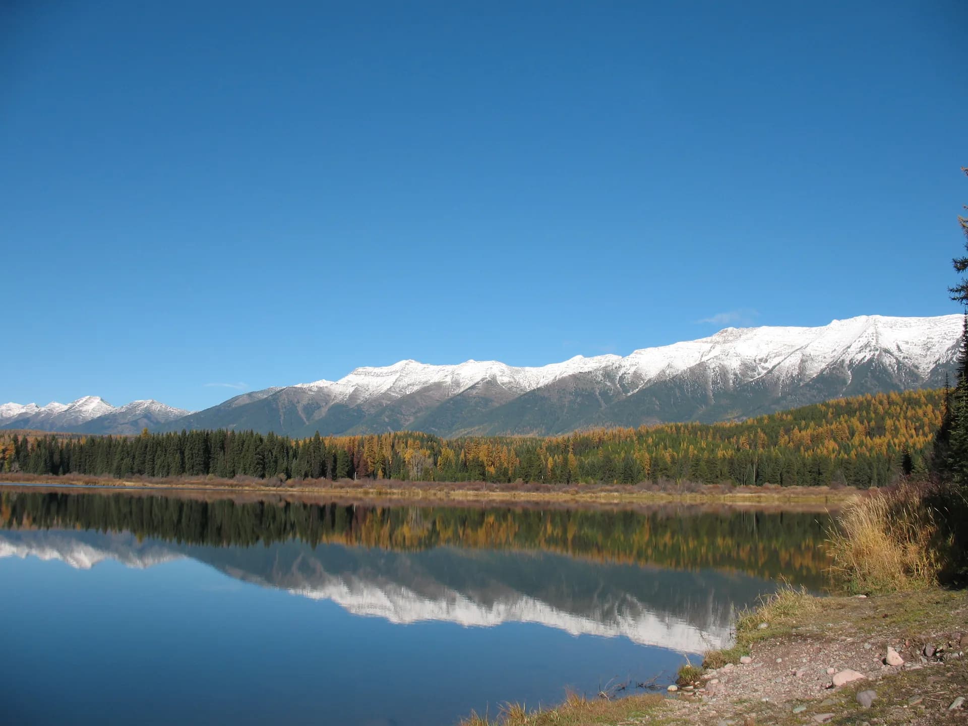
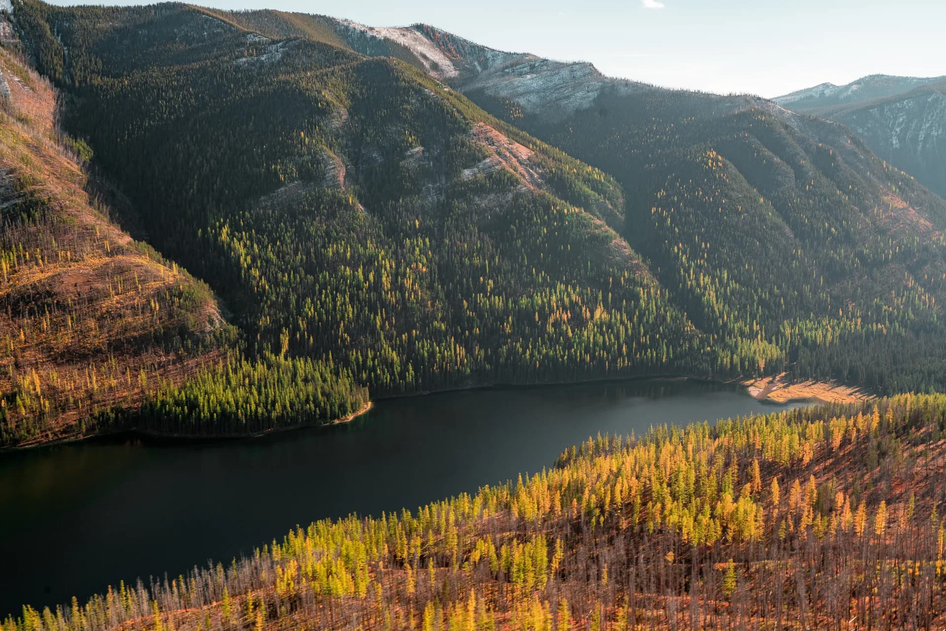
The Lolo National Forest surrounds Missoula with 2.2 million acres of forested mountains, wilderness rivers, and the historic Lolo Trail corridor used by the Lewis and Clark Expedition.
7 min read
MT · Northern Rockies
8 forest guides within driving distance
The Lolo National Forest surrounds Missoula with 2.2 million acres of forested mountains, wilderness rivers, and the historic Lolo Trail corridor used by the Lewis and Clark Expedition.
7 min read

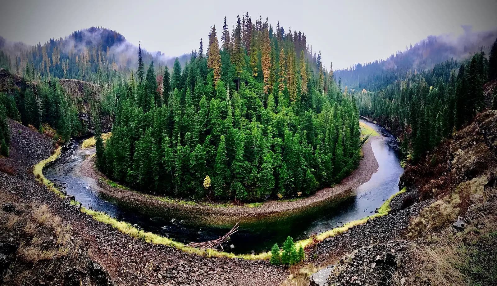
The Bitterroot National Forest spans 1.6 million acres of rugged Montana wilderness along the Idaho border, anchored by the Selway-Bitterroot Wilderness and some of the most remote canyon country in the lower 48.
8 min read
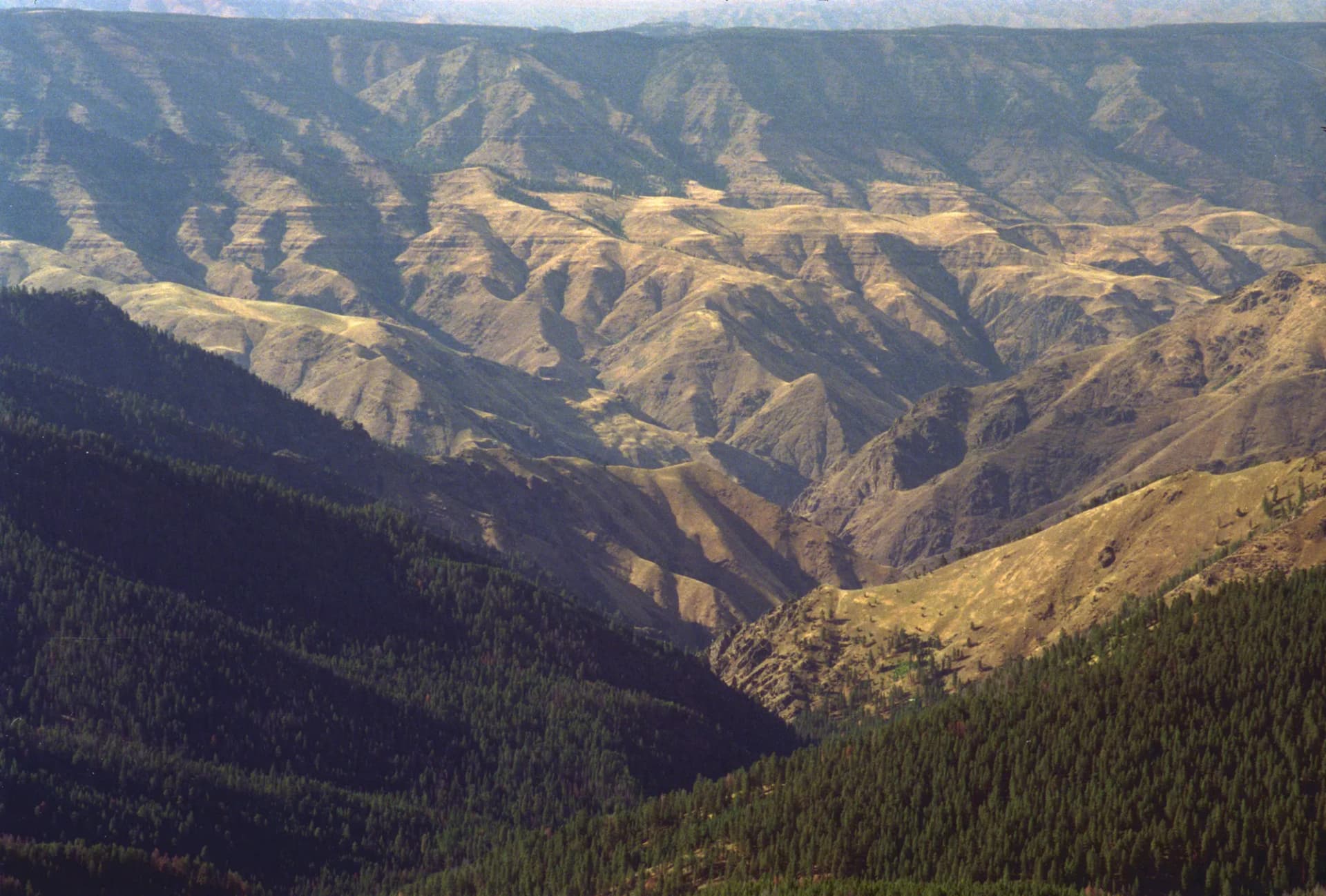
Nez Perce-Clearwater National Forest protects 4 million acres of northern Idaho's deepest river canyons, ancient cedar groves, and wilderness mountain terrain, home to the Selway-Bitterroot and Frank Church wilderness areas.
6 min read
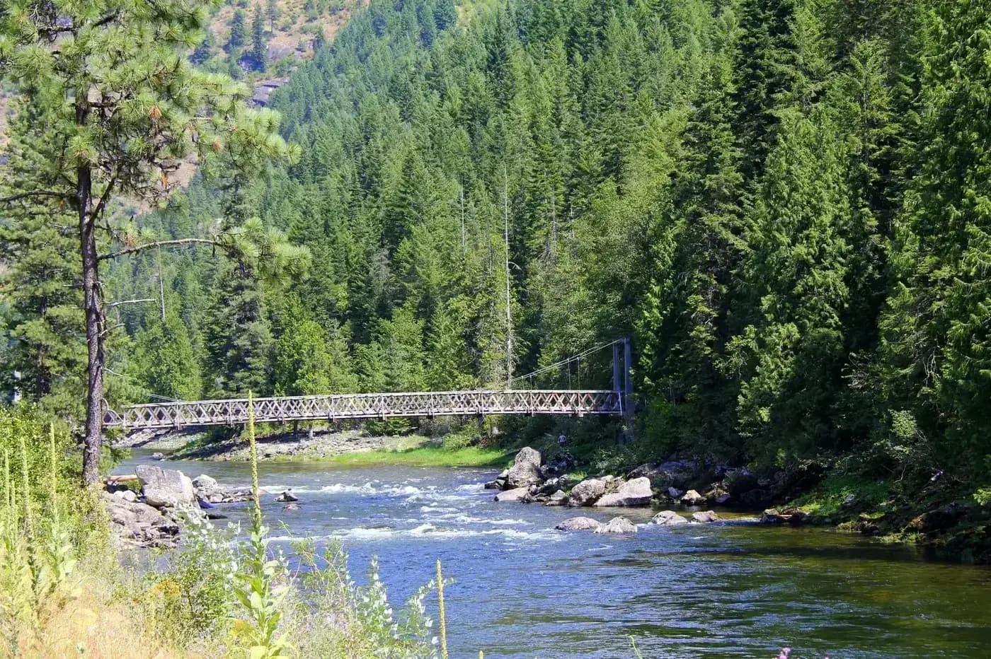
Clearwater National Forest protects the wild Lochsa River corridor and Selway Wilderness in northern Idaho, offering world-class whitewater, remote backpacking, and pristine old-growth forest.
5 min read
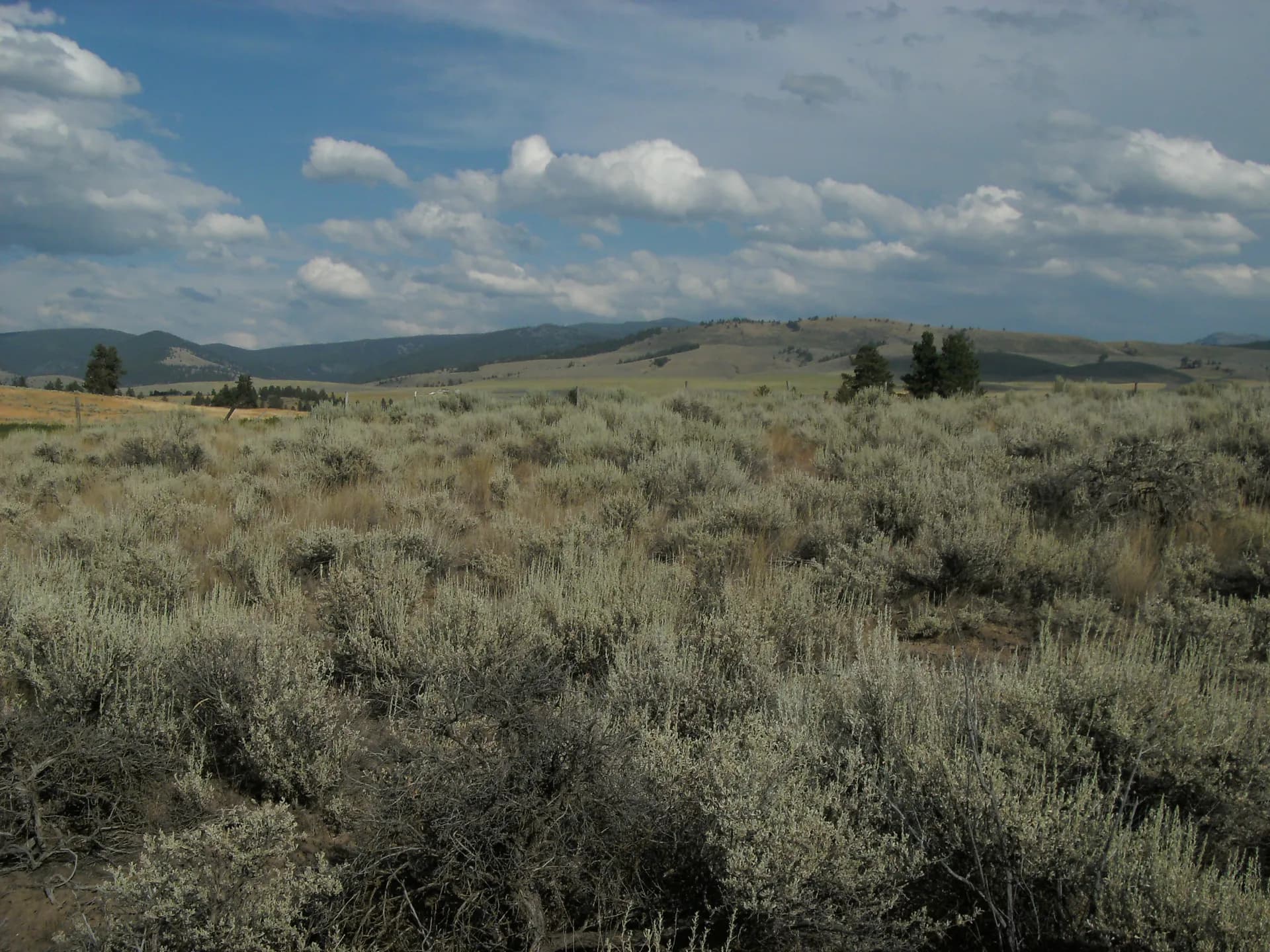
Deerlodge National Forest covers the Anaconda and Flint Creek Ranges of southwestern Montana, featuring the Anaconda-Pintler Wilderness and extensive mining history near historic Anaconda.
5 min read
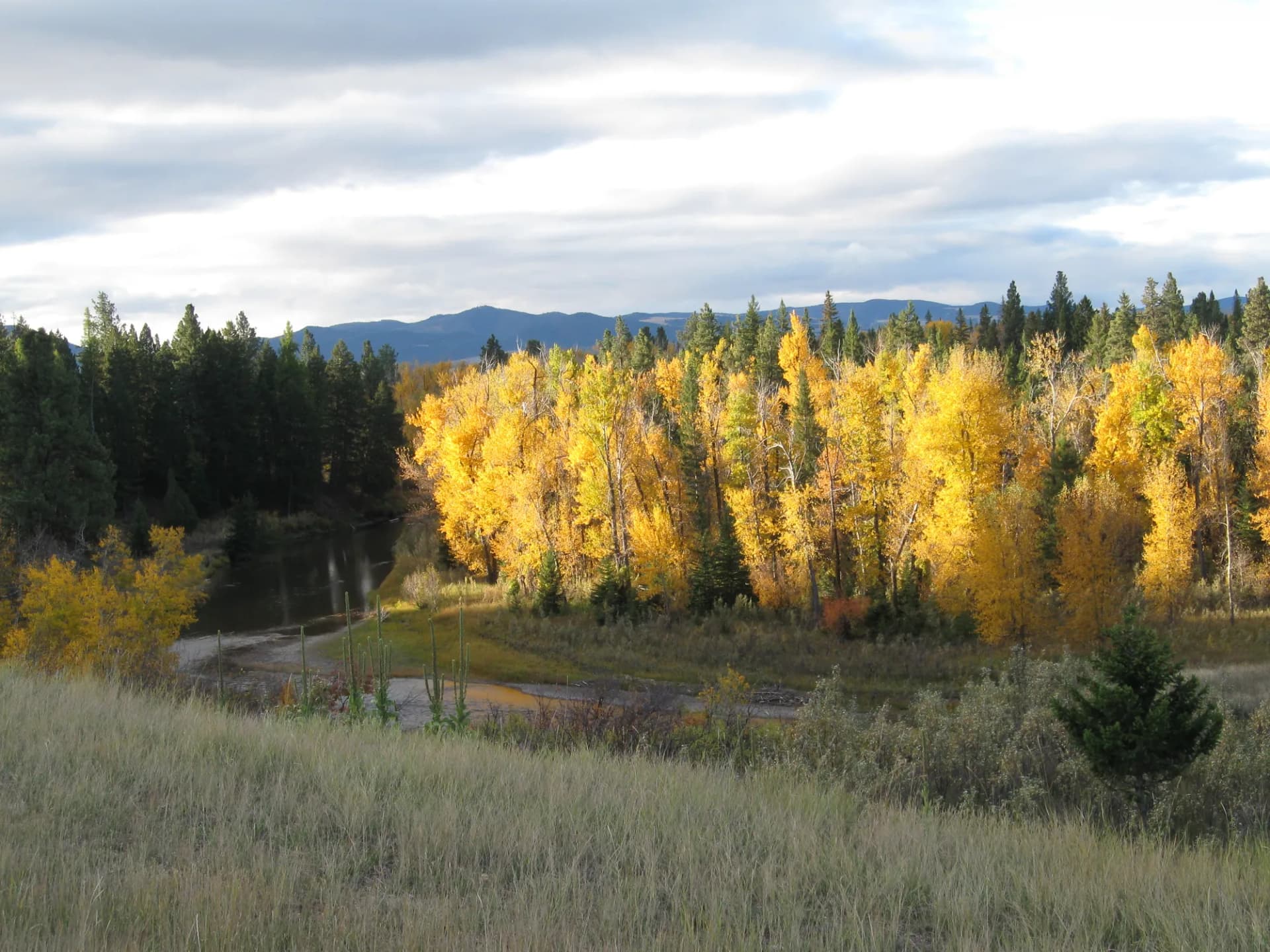
Complete guide to Flathead National Forest in northwest Montana. Trail recommendations, campgrounds, permits, grizzly bear country, and trip planning resources.
13 min read
St. Joe National Forest in northern Idaho protects the Wild and Scenic St. Joe River watershed, Huckleberry Mountains, and some of the most remote backcountry terrain in the Idaho Panhandle.
5 min read
Helena-Lewis and Clark National Forest spans 2.9 million acres in central Montana, surrounding the state capital and encompassing the Big Belt, Little Belt, and Elkhorn mountains with 800 miles of trails and three designated wilderness areas.
5 min read
A 5-mile loop on the bench above Missoula with open ponderosa forest, valley views, and a comfortable grade popular with families, trail runners, and mountain bikers near the city.
4 min read
A 6.4-mile out-and-back into the Rattlesnake Wilderness from the edge of Missoula, following a pristine mountain creek through old-growth forest with views of the surrounding wilderness.
4 min read
A 5.2-mile loop through a forested canyon immediately east of Missoula, popular with trail runners, mountain bikers, and hikers seeking a quick forest escape from the university city.
4 min read
A 7.6-mile out-and-back to the Marshall Mountain area east of Missoula, sharing terrain with a winter ski area and delivering views of the Clark Fork Valley and the surrounding mountain ranges.
3 min read
A strenuous 12-mile out-and-back to an 8,562-foot summit with sweeping views across the Clark Fork Valley and the Rattlesnake Wilderness, the demanding frontcountry summit above Missoula.
4 min read
A 7-mile out-and-back through a quiet northern Lolo drainage with extensive old-growth cedar-hemlock forest, good fishing, and exceptional solitude compared to the Missoula front-range trails.
4 min read
A 9-mile out-and-back to the 9,096-foot summit of Lolo Peak, the dominant high point above Lolo Pass with commanding views of the Bitterroot Valley and the historic Lewis and Clark corridor.
4 min read
A remote 8.8-mile out-and-back through old-growth cedar and western redcedar forest in a seldom-visited western drainage of the Lolo National Forest, with excellent solitude and wildlife habitat.
4 min read
A 6-mile out-and-back to Moose Lake in the Flint Creek Range of Beaverhead-Deerlodge National Forest, climbing 1,400 feet through old-growth forest to a secluded alpine lake known for moose sightings.
3 min read
A strenuous 9.4-mile out-and-back to a historic fire lookout at 9,351 feet with sweeping panoramic views of the Bitterroot Valley and the Sapphire Mountains.
4 min read
Guide to the Holland Lake Falls Trail in Flathead National Forest, Montana. An easy 3.0-mile out-and-back to a beautiful waterfall at the head of Holland Lake, with views of the Swan Range and access for hikers of nearly all abilities.
7 min read
An 8.4-mile out-and-back canyon hike with swimming holes, old-growth forest, and access to the Selway-Bitterroot Wilderness, popular with Hamilton-area hikers and anglers.
4 min read
Hike Upper Flint Creek Canyon in Deerlodge National Forest, Montana. This moderate 5.8-mile out-and-back follows a scenic canyon creek with mountain views and wildflowers.
3 min read
Hike to Storm Lake in Deerlodge National Forest, Montana. This strenuous 9.6-mile out-and-back climbs through the Flint Creek Range to a remote alpine lake with mountain views.
3 min read
Climb Granite Mountain in Deerlodge National Forest, Montana. This strenuous 10.4-mile out-and-back gains 3,800 feet to one of the highest summits in the Flint Creek Range with panoramic views.
3 min read
A stunning 9-mile out-and-back through one of Montana's most dramatic granite canyons, with towering quartzite walls rising over 3,000 feet above the canyon floor.
4 min read
An 11.2-mile out-and-back through the Mill Creek drainage to a remote high-elevation lake beneath the granite peaks of the Bitterroot Range, with exceptional solitude and wildlife.
4 min read
A gentle 5.6-mile out-and-back canyon walk through old-growth ponderosa forest with good fishing access and light foot traffic, a relaxed alternative to the busier Bitterroot canyon trails.
4 min read
Hike the Racetrack Trail in Deerlodge National Forest, Montana. This moderate 7.0-mile loop traverses a scenic valley with views of the surrounding mountains and frequent wildlife sightings.
3 min read
Hike the Meadow Lake Loop in Clearwater National Forest, Idaho. This moderate-hard 7.4-mile loop visits a backcountry lake through subalpine forest with summer wildflowers.
3 min read
A 7-mile out-and-back to Twin Lakes in the Anaconda-Pintler Wilderness of Beaverhead-Deerlodge National Forest, gaining 1,600 feet through spruce-fir forest to a pair of scenic alpine lakes below the Continental Divide.
3 min read
Backpack the Pintler Pass Loop in Deerlodge National Forest, Montana. This strenuous 17-mile loop is a premier multi-day route through the Anaconda-Pintler Wilderness with alpine lakes and wildflowers.
3 min read
Hike the Pintler Pass Trail in Deerlodge National Forest, Montana. This strenuous 14-mile loop crosses the Anaconda-Pintler Wilderness with alpine lakes, wildflowers, and mountain views.
3 min read
A strenuous 12-mile loop through the Anaconda-Pintler Wilderness in Beaverhead-Deerlodge National Forest, gaining 2,500 feet over passes along the Continental Divide with sweeping views of southwest Montana.
4 min read