America's First Wilderness and Wild New Mexico
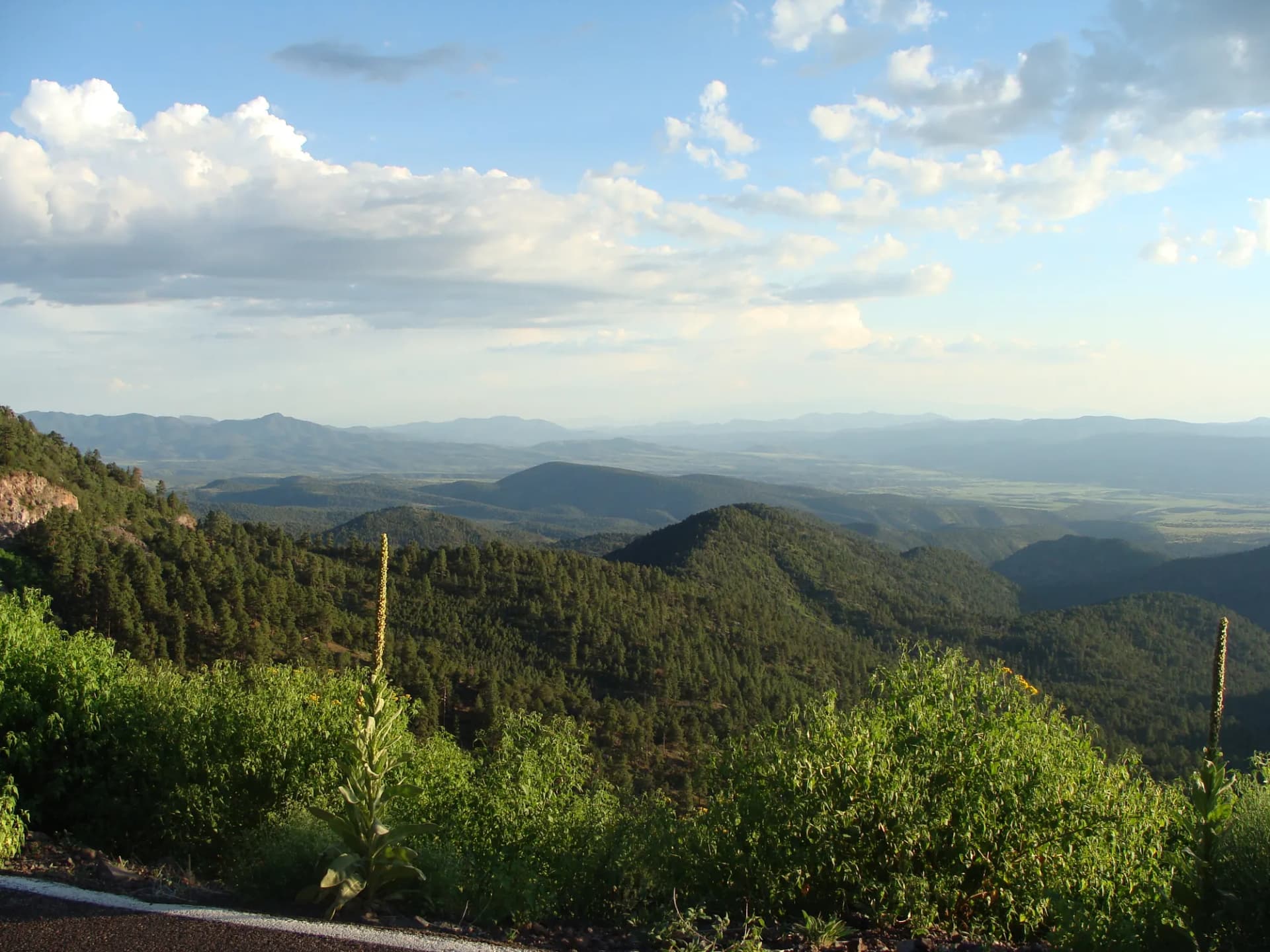
Gila National Forest covers 3,300,000 acres of southwestern New Mexico, encompassing the Mogollon, Black Range, and Mimbres mountain ranges in terrain that ranges from Chihuahuan Desert grassland at 4,000 feet to pine-forested summits approaching 11,000 feet. Established in 1899 as one of the earliest national forests, it contains a distinction no other forest can claim: the Gila Wilderness, designated in 1924, was the first federally protected wilderness area in the world. Aldo Leopold, who would later write "A Sand County Almanac" and articulate the land ethic, was a forest ranger here and advocated for wilderness protection in these mountains.
The forest remains among the least visited and most remote public lands in the lower 48 states. The drive to the inner forest from Silver City takes an hour on a paved road, and the trail network of more than 1,570 miles extends into terrain where cellular service, other hikers, and maintained infrastructure are all scarce. For hikers and backpackers seeking genuine wilderness solitude within reach of civilization, the Gila has few rivals.
Why Gila National Forest Stands Out
Aldo Leopold and the World's First Wilderness
When Aldo Leopold proposed setting aside the upper Gila River headwaters as roadless wilderness in 1922, the idea of formally protecting land from development by policy rather than law was unprecedented. The Forest Service's 1924 designation of the Gila Primitive Area (later designated Gila Wilderness under the 1964 Wilderness Act) established the template that would eventually protect more than 110 million acres of American wilderness. Leopold's connection to this land is central to American conservation history. The Leopold Wilderness to the north of the Gila Wilderness was designated posthumously in his honor.
Gila River Canyon and the Hot Springs
The Gila River carves a canyon through the central portion of the forest that is accessible only by foot. The river crossing count on a full-day or multi-day Gila River Canyon traverse runs from dozens to over one hundred depending on the route, as narrow canyon walls force hikers from bank to bank continuously. Several natural hot springs bubble directly from the riverbank within the canyon, accessible only to those who make the river walk. The springs are warm enough for comfortable soaking and the canyon is remote enough that multiple nights of solitude are common even in peak season.
Gila Cliff Dwellings and Mogollon Culture
Gila Cliff Dwellings National Monument sits within the forest's outer boundary and is administered cooperatively with the USFS. The 700-year-old cliff dwellings, built by the Mogollon people in the late 1200s, are accessible via a 1-mile loop that enters the natural caves and walks through the rooms themselves. The site is one of the best preserved and most accessible cliff dwelling complexes in the Southwest.
Best Trails
Gila River Canyon Trail (14.0 miles, out-and-back or point-to-point) is the signature hike of the forest, traversing the river canyon with dozens of crossings through one of the most remote wild corridors in the Southwest.
Gila Cliff Dwellings Loop (1.0 mile, loop) visits the Mogollon cliff dwellings in their natural cave settings, a short but profoundly historic walk accessible to virtually all visitors.
Whitewater Baldy Summit Trail (15.0 miles, out-and-back) climbs to the 10,892-foot summit of Whitewater Baldy, the highest point in the Mogollon Mountains and in the forest, through alpine terrain above 9,000 feet.
Catwalk National Recreation Trail (2.1 miles, out-and-back) follows a metal catwalk bolted to the walls of Whitewater Creek Canyon through a narrow gorge, a unique and historically significant trail in the Mogollon Mountains.
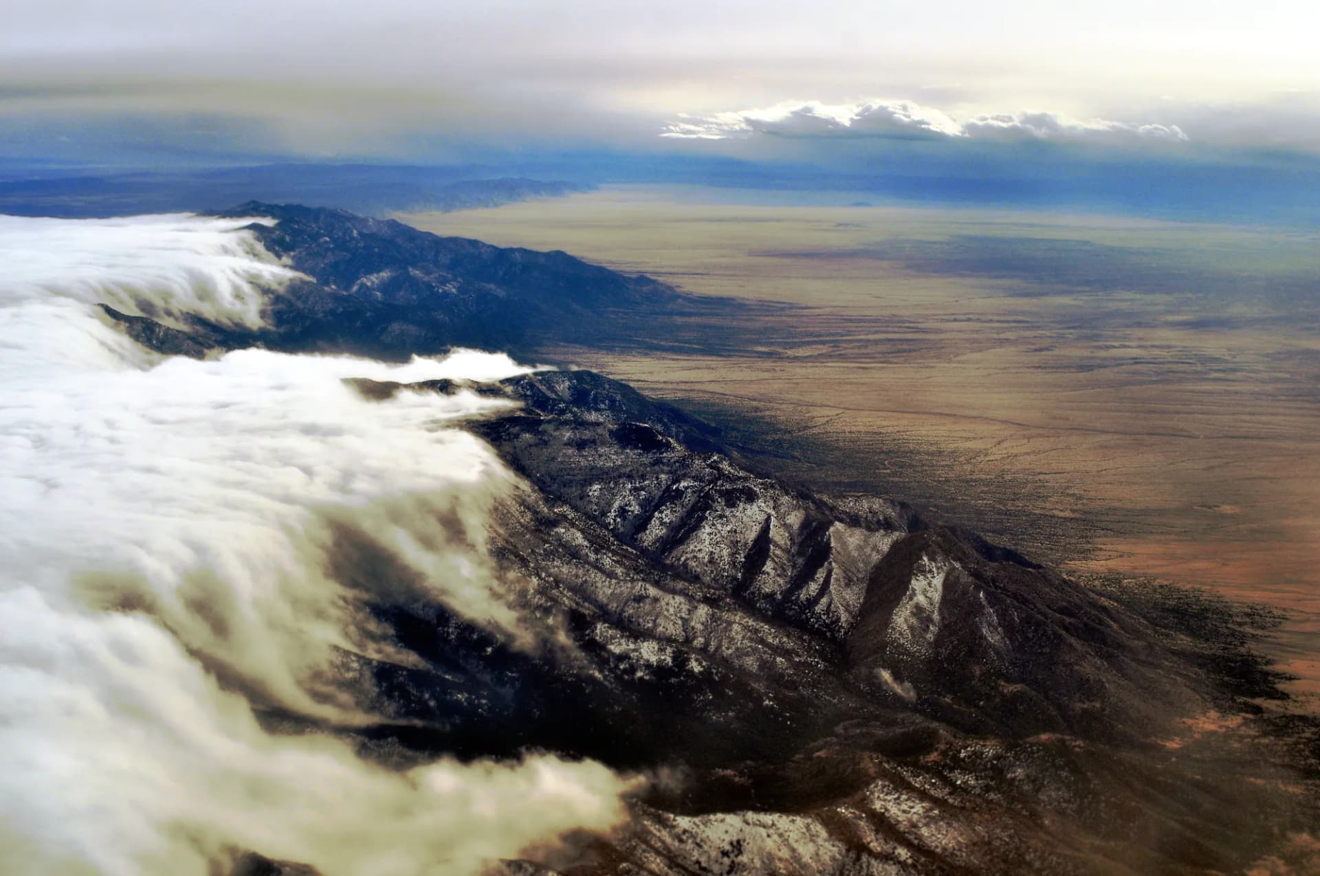
Signal Peak Trail (5.0 miles, out-and-back) climbs through the Black Range to a summit with long views across the Chihuahuan Desert and back into the Mogollons.
Little Bear Canyon Trail (4.0 miles, out-and-back) follows a smaller canyon tributary of the Gila River through riparian woodland with springs and wildlife.
Aldo Leopold Wilderness Loop (12.0 miles, loop) traverses the namesake wilderness of the conservation pioneer through Black Range ridge terrain.
McKenna Park Trail (6.5 miles, out-and-back) reaches an alpine meadow park in the Mogollon Mountains above 9,000 feet, through old-growth ponderosa forest.
Permits and Passes
No permit is required for day hiking or camping anywhere in Gila National Forest or the Gila Wilderness (as of 2026). Developed campgrounds at sites like Lake Roberts and Pueblo Park charge nominal fees of $10 to $15 per night and are first-come, first-served. The America the Beautiful Annual Pass is accepted at sites where fees are collected. See America the Beautiful Pass for Veterans and Veteran Benefits in National Forests for details on veteran benefits.
The Gila Cliff Dwellings National Monument charges a separate entry fee for the cliff dwellings themselves (as of 2026); verify current fees before visiting.
Camping
Gila Cliff Dwellings Campground at the end of NM-15 provides the closest base camp to the cliff dwellings and the Gila River Canyon trailheads. Forty sites, first-come, first-served, pit toilets, no hookups.
Lake Roberts Campground in the southeastern forest offers 36 sites on a small fishing lake with year-round access. First-come, first-served.
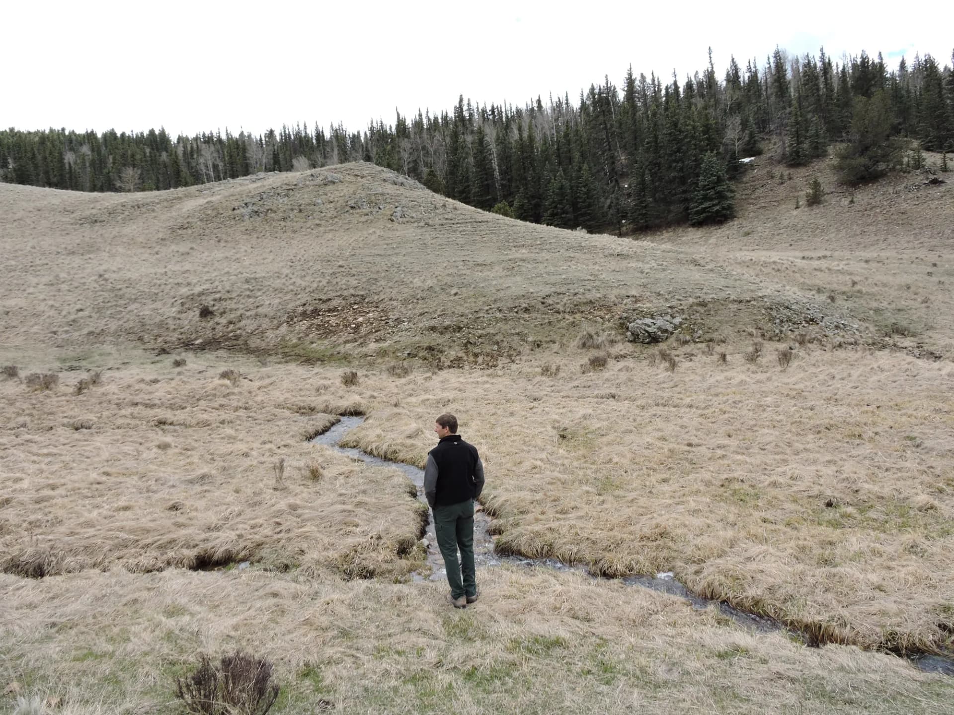
Dispersed camping is the norm throughout the Gila Wilderness and most of the forest. Camp 300 feet from water, trails, and roads. The remoteness of this forest means many dispersed sites are genuinely pristine.
When to Visit
April through June is the most comfortable season. Spring wildflowers bloom in the lower canyon country. Temperatures at the higher elevations range from 50 to 70 degrees. The Gila River carries spring snowmelt and crossings can be thigh-deep or higher in April; call the ranger district for current river levels before planning a canyon route.
July through September brings monsoon rains. The canyon is spectacular in monsoon green, but flash flood risk in narrow drainages is real. The Catwalk and other narrow canyon trails should be avoided during and immediately after heavy rain. Mexican gray wolves are most active with pups in summer.
October through November is arguably the best season. Fall color in the riparian cottonwood groves along the Gila River is vivid. River levels drop, making crossings easier. Elk are in rut and visible in the meadows. The forest is at its least crowded.
December through March brings cold at higher elevations and occasional snow above 7,000 feet. The lower canyon country near the cliff dwellings remains accessible. River crossings in winter can involve cold water.
Getting There
From Silver City: NM-15 runs north from Silver City through the Mimbres Valley to the Gila Cliff Dwellings. The 44-mile drive takes approximately one hour on a winding mountain road. This is the primary access route for most visitors.
From Deming: Take I-25 north to Hatch, then US-26 north to NM-152 through the Black Range. This scenic but longer route provides access to the Black Range unit from the south. Approximately 85 miles and 1.5 hours.
From Socorro: US-60 west to Reserve, then NM-159 south into the Mogollon Mountains. This northern approach serves the Whitewater Baldy and Mogollon Rim areas. About 140 miles and 2.5 hours.
Practical Tips
The Gila River Canyon crossings require careful evaluation before committing. Water levels fluctuate significantly with season and recent weather. High water in spring can make crossings dangerous. Always check current river conditions with the Silver City Ranger District before attempting any canyon route.
Mexican gray wolves were reintroduced to the Gila and Apache-Sitgreaves National Forests beginning in 1998 and the population has grown to over 200 animals. Wolf encounters are possible particularly in the wilderness core. Do not leave food unattended. Review bear canister requirements for guidance on food storage; while bear canisters are not required in the Gila, hanging food or using a hard-sided container is strongly advised.
Black bears, mountain lions, and rattlesnakes all inhabit the forest. The Mexican black bear subspecies here is smaller than those in the Rockies but requires the same food storage precautions.
The remote nature of the Gila means cell service is nonexistent throughout most of the forest. Download offline maps and trail data before leaving Silver City. Tell someone your itinerary and expected return time. Check conditions and any access road closures at checking conditions before you go. Practice Leave No Trace principles throughout, particularly in the Gila Wilderness where preservation of the wild character is both legally required and ethically essential.