A Forest of Two Worlds
Manti-La Sal National Forest is one of the more unusual units in the national forest system, combining two geographically separate mountain ranges under a single administration. The Manti unit covers the Wasatch Plateau in central Utah, a broad, high-elevation landmass that stretches 80 miles north to south. The La Sal unit encompasses the La Sal Mountains, an isolated cluster of laccolith peaks that rise dramatically above the canyon country around Moab, visible from Arches and Canyonlands national parks.
Established in 1903, the forest totals 1.4 million acres across Utah and a sliver into Colorado. What it lacks in single-mountain drama it makes up in variety: you can spend a morning hiking through alpine tundra near Mount Peale's 12,721-foot summit and an afternoon driving down to the Moab valley for red-rock scenery, or spend a week exploring the Wasatch Plateau's ridge trails and canyon systems without repeating terrain.
Why Manti-La Sal National Forest Stands Out
The La Sal Mountains Above Moab The La Sals are what make this forest truly distinctive. These peaks rise nearly 8,000 feet above the Colorado River canyon floor, creating a remarkable visual contrast between the red desert below and the green alpine slopes above. Mount Peale at 12,721 feet is the second-highest summit in Utah, and the La Sal Loop Road that circles the range offers some of the most dramatic driving scenery in the American West, providing access to trailheads at Oowah Lake, Warner Lake, and the high basin trails.
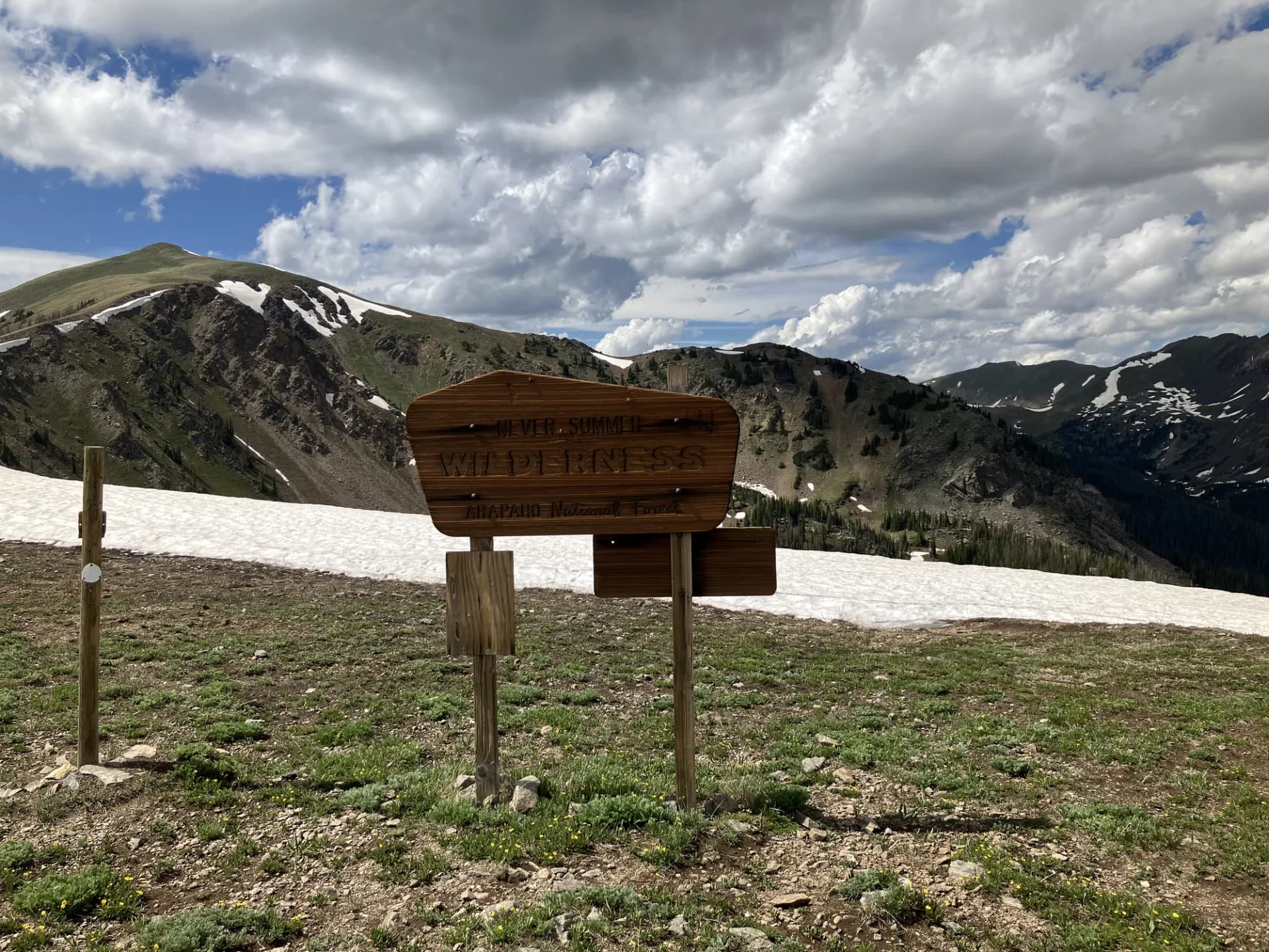
Wasatch Plateau Backcountry The Manti unit's Wasatch Plateau is a different kind of wilderness: broad, high, and accessible. The plateau tops out above 11,000 feet on the Skyline Drive ridge, and the terrain is well-suited to extended backpacking, horseback riding, and cross-country travel. The canyon systems that drain east and west off the plateau, including Manti Canyon and Ferron Canyon, cut through hundreds of feet of sedimentary rock, creating colorful gorges with reliable creek flow.
Proximity to National Parks Few national forests sit in closer proximity to major national parks than the La Sal unit. Arches National Park is 20 miles north of the La Sal trailheads, and Canyonlands National Park is 30 miles southwest. Visitors who have spent days in those parks often find the La Sals offer a refreshing cooler, greener, and quieter counterpoint to the desert scenery below.
Best Trails
The forest's 450 miles of trail span both units. The eight trails below represent the best the forest has to offer across a range of difficulties and landscapes.
The Mount Peale Summit (7.8 miles, strenuous) is the crown jewel of the La Sal Mountains, climbing to the second-highest summit in Utah with sweeping views of canyon country and neighboring peaks.
The Warner Lake Loop (5.2 miles, moderate) circles a high-mountain lake in the La Sal Mountains through aspen and spruce forest, with views of Mount Tukuhnikivatz and the canyon country below.
The Wasatch Plateau Skyline Trail (10.4 miles, moderate) follows the broad crest of the Wasatch Plateau with continuous ridge views and access to the highest terrain in the Manti unit.
The Dark Canyon Overlook (4.8 miles, easy-moderate) approaches the dramatic rim of the Manti Canyon system, with views into one of the most colorful canyon corridors on the Wasatch Plateau's eastern face.
The Oowah Lake Trail (2.8 miles, easy) visits a popular high-mountain lake in the La Sals, popular with families and anglers looking for a short, rewarding outing near Moab.
The Geyser Pass Trail (6.2 miles, moderate-hard) climbs through the high basin between the La Sal peaks to a scenic pass with views across the canyon country.
The Ferron Canyon Hike (7.0 miles, moderate) follows Ferron Creek through a narrow sandstone canyon on the Wasatch Plateau's east side, passing colorful canyon walls and riparian vegetation.
The Manti Canyon Trail (5.6 miles, moderate) explores the canyon system below Manti city, following a creek-carved drainage through aspen, oak, and cliffside terrain.
Permits and Passes
Day hiking and dispersed camping in Manti-La Sal National Forest require no permit and no fee as of 2026. Developed campground sites require reservations and fees paid through Recreation.gov.
The America the Beautiful Annual Pass covers standard amenity fees. Veterans and active-duty service members receive full benefits at federal recreation sites. See /learn/america-the-beautiful-pass-veterans and /learn/veteran-benefits-national-forests for details.
Camping
Warner Lake Campground (20 sites) sits in the La Sal Mountains at 9,400 feet, adjacent to the lake. It is the most popular campground in the forest and books up weeks in advance for summer weekends. Open June through October. Sites run $22/night (as of 2026).
Oowah Lake Campground (24 sites) provides access to the Oowah Lake trail system. At 8,800 feet, nights are cool even in July. Open June through September at $20/night (as of 2026).
Manti Community Campground (30 sites) serves the Wasatch Plateau unit near Manti city. First-come, first-served at $15/night (as of 2026). Open May through October.
Ferron Canyon Campground (31 sites) on the east side of the Wasatch Plateau is a quieter option away from peak-season crowds. First-come, first-served at $15/night (as of 2026).
When to Visit
June and July open the La Sal Mountains after snowmelt. Lower-elevation trails on the Wasatch Plateau are accessible from mid-May. Wildflowers peak in the La Sal high basins in July.
August is peak summer season. Afternoon thunderstorms are common in both units. Plan high-elevation hikes for morning hours and carry a rain layer.
September is the ideal month: crisp air, excellent visibility, the beginning of aspen color in the La Sals, and significantly reduced crowds.
October brings peak fall color, particularly in the La Sal Mountains where aspen groves above Moab turn gold and orange. The La Sal Loop Road becomes one of the most photographed drives in Utah during peak color.
Winter brings deep snow to both units. The Wasatch Plateau is a destination for snowmobiling and cross-country skiing. The La Sal backcountry attracts ski tourers, though avalanche hazard is significant. Check avalanche.org conditions before any winter backcountry trip.
Getting There
From Moab (15 miles, 30 minutes, La Sal unit): Take US-191 south from Moab to the La Sal Loop Road turnoff near Moab Golf Club. Follow the La Sal Loop Road east and up into the mountains. The road is paved but steep and winding; RVs and trailers are not advised.
From Price (75 miles, 1 hour 30 minutes, Manti unit): Take US-6 south from Price to Manti on US-89. From Manti, Forest Road 100 climbs into Manti Canyon. Price is the major supply hub for the northern Wasatch Plateau unit.
From Manti (5 miles, 10 minutes, Manti unit): The Manti Canyon Road (Forest Road 100) climbs directly from town into the forest. Manti has gas and limited services.
Practical Tips
Black bears are present in the La Sal Mountains, particularly during berry season from late July through September. Store food in hard-sided containers or bear canisters when camping. Review /learn/bear-canister-requirements for current guidance.
The La Sal Mountains receive far more precipitation than the Moab valley below and can be significantly colder. Always bring layers and rain gear, even when the weather looks clear in town. Afternoon thunderstorm season runs July through August.
Check current conditions before heading out: /learn/checking-conditions-before-you-go. Practice Leave No Trace on all outings: /learn/leave-no-trace-7-principles.