Wasatch National Forest rises steeply from the Salt Lake Valley floor to crest the Wasatch Range at peaks exceeding 11,000 feet, covering roughly 1.03 million acres of the central Wasatch Front above Salt Lake City, Provo, and Ogden. The forest is the most urbanly proximate alpine terrain in Utah and one of the most accessible mountain environments from any major Western city. It forms the central section of the combined Uinta-Wasatch-Cache National Forest, sharing management with the Cache section to the north and the Uinta section to the east.
The two primary canyon corridors, Big Cottonwood and Little Cottonwood, cut deep into the Wasatch Range and provide the main access routes. Both canyons hold ski areas among the best in the country (Brighton and Solitude in Big Cottonwood; Alta and Snowbird in Little Cottonwood), and the same terrain that draws skiers in winter draws hikers in summer.
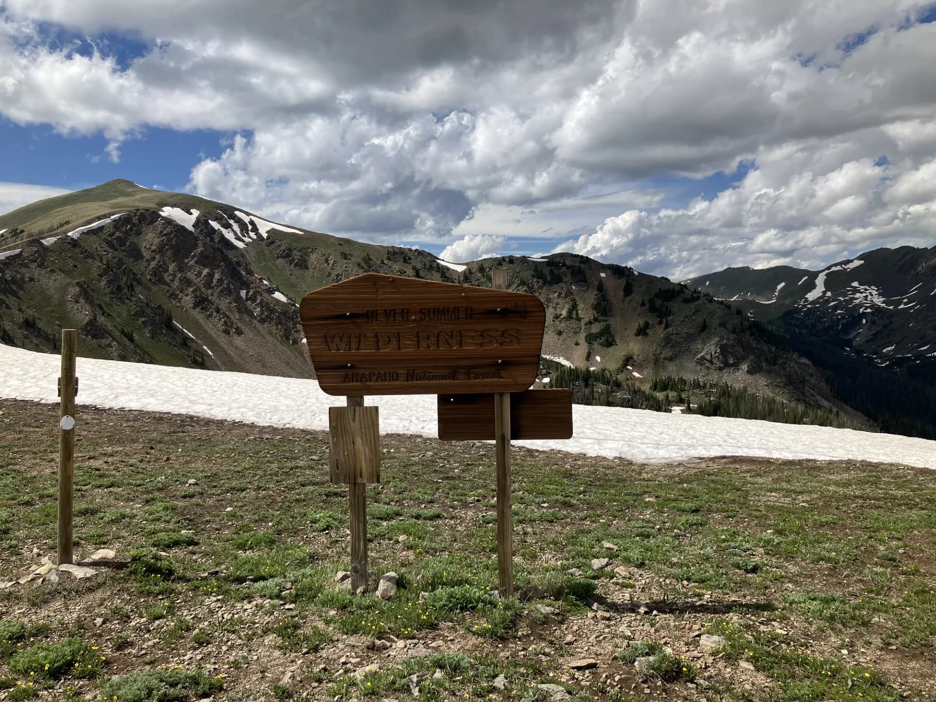
Trails
The Mount Olympus Trail is the most iconic hike from the Salt Lake Valley, climbing 8.4 miles round-trip to the distinctive double-peaked summit visible from nearly every point in the city below. The upper section involves significant scrambling on steep granite, and the route requires careful footing on the final approach. The views from the top encompass the Salt Lake Valley, the Great Salt Lake, and the Oquirrh and Stansbury ranges to the west.
Red Pine Lake Trail is the signature lake hike in Little Cottonwood Canyon, reaching a high alpine lake beneath the Lone Peak Wilderness in 6.8 miles with significant elevation gain. Grandeur Peak at 6.6 miles provides one of the best ridge walks above the east bench of Salt Lake City.
The Donut Falls Trail at 2.2 miles round-trip is one of the most accessible hikes in the forest, leading to a unique waterfall that flows through a hole in a granite boulder in Big Cottonwood Canyon. The nearby Cecret Lake Trail in Albion Basin reaches a glacially carved lake in 1.4 miles, making it one of the most popular family hikes in Little Cottonwood Canyon.
Wildlife
Mule deer are common throughout the Wasatch canyons and are regularly seen at canyon campgrounds. Rocky Mountain goats inhabit the high rocky terrain of the Twin Peaks Wilderness and are occasionally visible from the trail. Moose are present in the riparian areas of both major canyons and are occasionally reported in campgrounds; give them wide berth. Black bears are present but less commonly encountered than in more remote forests. The canyon streams support small populations of cutthroat trout. Raptors including red-tailed hawks and Cooper's hawks are common. Follow current USFS and Utah Division of Wildlife guidance for wildlife encounters.
Getting There
From Salt Lake City, Big Cottonwood Canyon is reached via I-215 to 6200 South, then east to Wasatch Boulevard and south to the canyon entrance, approximately 15 miles and 30 minutes from downtown. Little Cottonwood Canyon is reached via I-215 to SR-209 east to Wasatch Boulevard south to the canyon entrance, approximately 20 miles. From Provo, take I-15 north to the Draper or Sandy exits and connect to either canyon via Wasatch Boulevard. The canyon roads are clearly signed and heavily trafficked on summer weekends.
Seasons
Summer (June through October): The hiking season. High-country trails are accessible from late June. Trailhead parking fills early on summer weekends; a Saturday or Sunday arrival before 7 AM is often needed to secure a parking spot at popular locations. A summer shuttle pilot program has operated in Little Cottonwood Canyon; check current UTA options before driving.
Fall (October through November): Excellent hiking with dramatically reduced crowds after Labor Day. Aspen color in the upper canyons peaks in late September and early October.
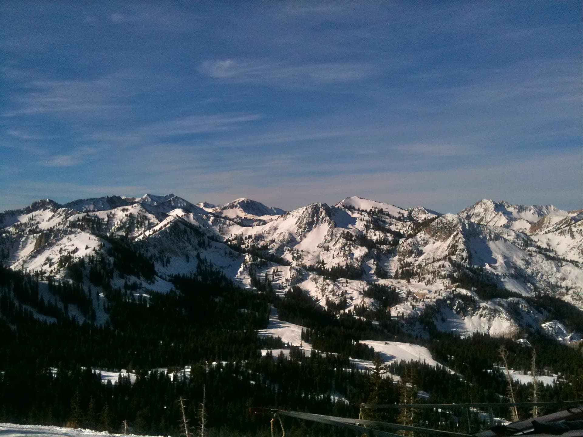
Winter: All four ski areas operate from roughly Thanksgiving through April. Big and Little Cottonwood Canyons are among the snowiest in North America, with the Wasatch Range averaging over 500 inches of annual snowfall at higher elevations.
Spring: Snowmelt and wildflowers at lower elevations from April. Higher trails hold snow well into June. Waterfall flow in the canyons peaks in May.
Nearby
Salt Lake City (population around 200,000) is the primary urban base, with full hotel, dining, and transportation infrastructure including an international airport. The city is about 30 minutes from the canyon trailheads. Cottonwood Heights and Sandy are the canyon gateway suburbs, with groceries, gear shops, and lodging options. For permit guidance, see our national forest camping permit guide. Review Leave No Trace principles before any backcountry trip in these heavily visited canyons.
Planning and Resources
America the Beautiful passes cover parking fees at fee-site trailheads throughout the combined Uinta-Wasatch-Cache unit. Veterans and permanently disabled individuals may qualify for federal discount passes. The Salt Lake Ranger District office is located in Salt Lake City and can provide current conditions, trail status, and camping information. The Little Cottonwood Canyon summer shuttle program (when operating) provides a good alternative to driving and competing for parking on summer weekends; check the Utah Transit Authority for current schedules and stops. For general backcountry trip planning, the 10 Essentials and dispersed camping guide provide applicable guidance for forest outings in this heavily used landscape. Wildfire risk in summer and fall is real; review current fire restrictions before any camp trip in the forest.