Whitman National Forest covers roughly 2.08 million acres of the Blue Mountains and Elkhorn Range in northeast Oregon, extending south from Baker City through the John Day country and into the Strawberry Mountain area. The forest is the southern portion of the combined Wallowa-Whitman National Forest, with the Wallowa section covering the more-famous Eagle Cap Wilderness and Wallowa Mountains to the northeast. Despite the Wallowa section's greater name recognition, the Whitman section contains substantial wilderness terrain and some of the most intact wild river corridors remaining in the Pacific Northwest.
The Blue Mountains are geologically distinct from the Cascades to the west: older, more complex, and composed of oceanic terranes that were accreted onto North America before the Cascades formed. The landscape is a mix of broad forested ridges, deep river canyons, and isolated high peaks, with a drier character than western Oregon forests.
Trails
The North Fork John Day Trail follows the Wild and Scenic North Fork John Day River through the wilderness for 22 miles, one of the best river canyon backpacking routes in Oregon. The trail crosses back and forth across the river multiple times and requires fording in high water. The river corridor supports wild salmon and steelhead, and the wilderness maintains genuine solitude.
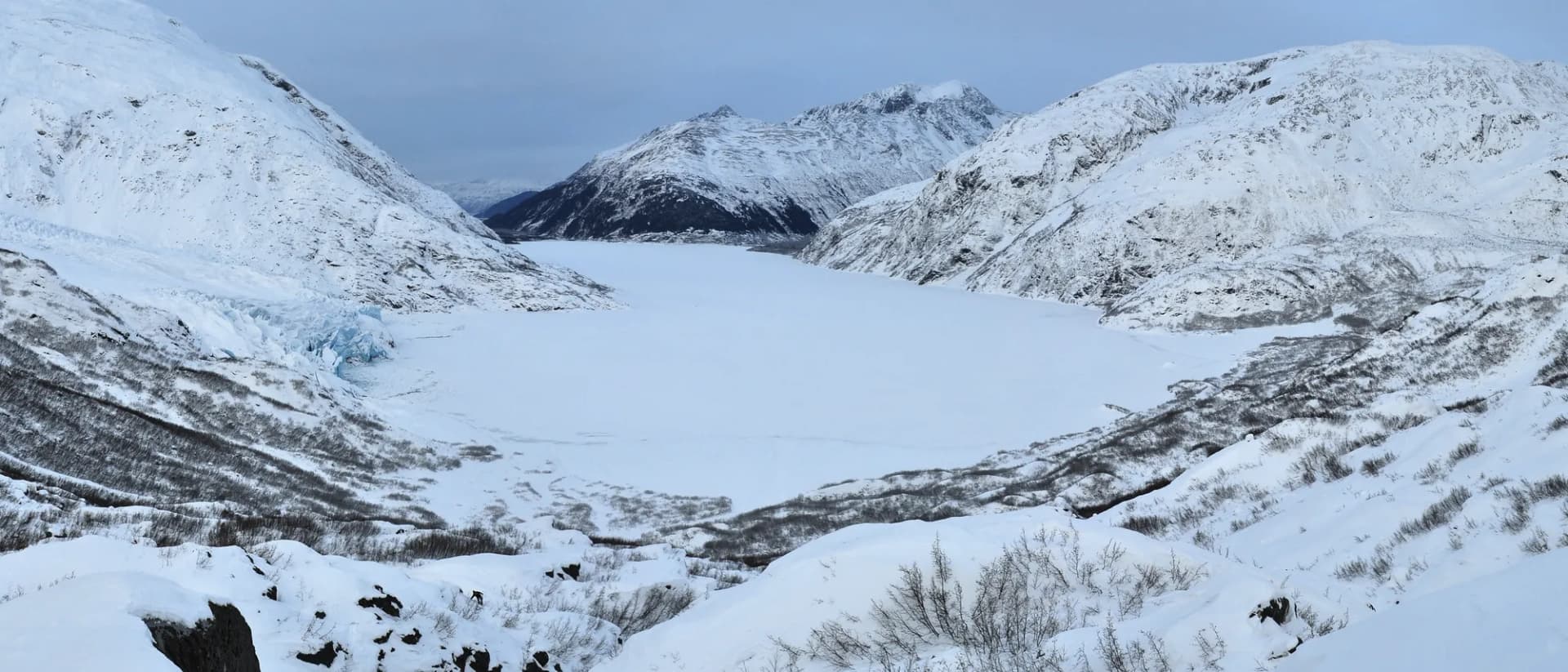
Anthony Lake Trail is the most accessible route in the Elkhorn Range, a 3.2-mile loop around the glacially carved lake basin at 7,100 feet with views up to Gunsight Mountain and the surrounding peaks. The trail is popular with families and visitors new to the area.
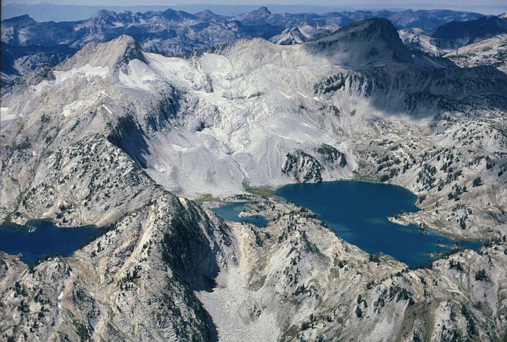
The Elkhorn Crest Trail traverses the full length of the Elkhorn Range from Anthony Lakes south to Marble Creek on a 14-mile point-to-point route along a high ridge with panoramic views. This is the premier single-day hike in the Whitman section.
Van Patten Lake at 6.4 miles reaches a high lake in the Elkhorn Range through open terrain that allows views throughout the approach.
Wildlife
The Blue Mountains hold one of the larger elk concentrations in the Pacific Northwest, and elk watching and hunting are significant drivers of forest visitation. The North Fork John Day and its tributaries contain federally protected bull trout as well as steelhead and chinook salmon. Gray wolves from recovered northeast Oregon packs range throughout the forest; Oregon Department of Fish and Wildlife and the USFS publish current pack locations and activity advisories. Black bears are common in the forested zones. Pronghorn antelope are present in the lower-elevation open terrain around the John Day River. Golden eagles and prairie falcons nest on cliff faces throughout the Blue Mountain canyons.
Getting There
From Baker City, take I-84 west toward La Grande, then exit at North Powder and take Anthony Lakes Road (Forest Route 73) west approximately 18 miles to Anthony Lakes, the main recreation hub. For the North Fork John Day Wilderness, take US-395 south from La Grande through Dale to the wilderness trailheads near the North Fork John Day Campground, approximately 80 miles. From John Day, take US-395 north through Kimberly to the southern wilderness access roads.
Seasons
Summer (June through October): The hiking window. Anthony Lakes area trails accessible from June. High-country terrain in the Elkhorn Range is typically snow-free by late June. The North Fork John Day trail may require fording during high water in June.
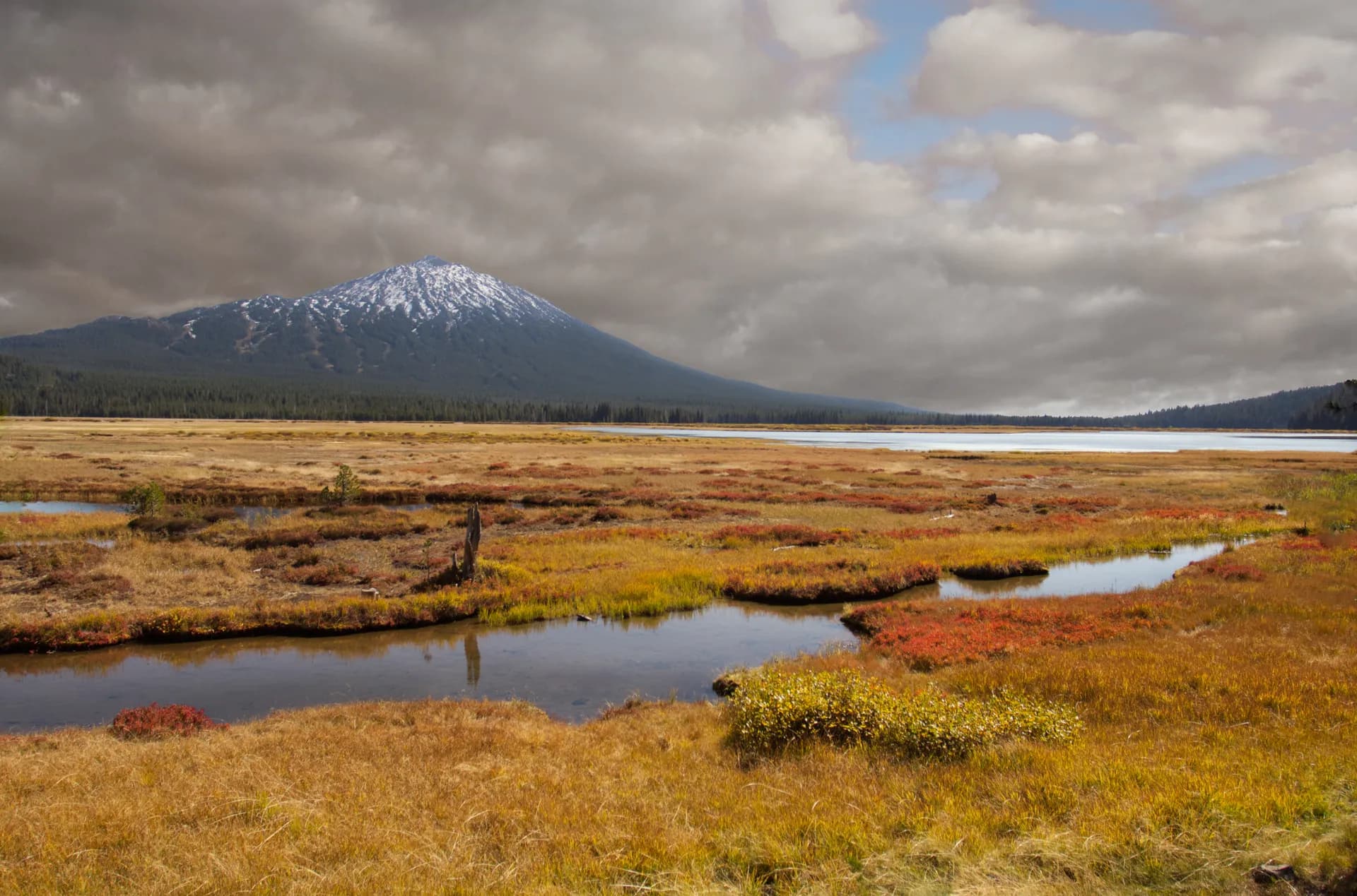
Fall (October through November): Elk hunting season draws significant visitors in October. The aspen-lined drainages in the Blue Mountains turn gold in late September and early October.
Winter: Anthony Lakes ski area operates in winter, with downhill and nordic skiing from December through March. Some forest roads close seasonally.
Spring (May through June): Wildflower season in the lower canyons. The John Day River and its tributaries run high through June. Higher roads remain closed until June.
Nearby
Baker City (population around 10,000) is the primary gateway, a historic gold rush town with preserved Victorian architecture, lodging, and restaurants. The Oregon Trail Interpretive Center east of town is a major regional attraction. La Grande, 40 miles northwest on I-84, is the regional university town with additional services. John Day, 50 miles southwest on US-395, is the gateway to the Strawberry Mountain area and the John Day Fossil Beds National Monument to the west. For trip planning, review Leave No Trace principles and check conditions before you go through the Baker City Ranger District.
Planning and Resources
No permit is required for day hiking or dispersed camping in Whitman National Forest (as of 2026). Developed campground fees at sites like Anthony Lakes are modest; reservations are handled through Recreation.gov for reservable sites. America the Beautiful passes are accepted at applicable fee sites. Veterans and permanently disabled individuals may qualify for federal discount passes. The Baker City, La Grande, and Heppner Ranger Districts serve different sections of the combined Umatilla-Whitman unit; contact the district closest to your destination for current conditions. Fire restrictions in the Blue Mountains are common from July through September; review conditions before you go before any backcountry trip. The North Fork John Day Wilderness is one of the more ecologically intact river corridors in the Pacific Northwest; practice Leave No Trace principles to preserve that character.