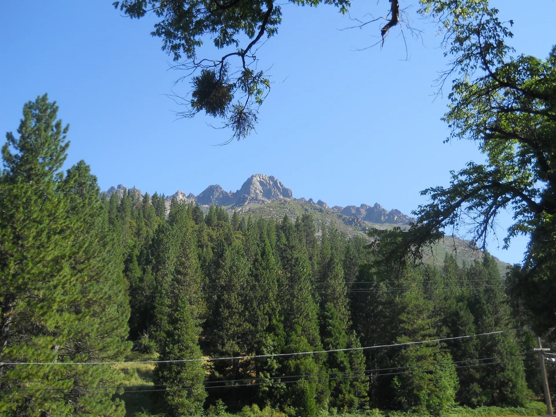
Tahoe National Forest
~54 mi from SacramentoCalifornia
Complete guide to Tahoe National Forest in California. Trail recommendations, campgrounds, permits, seasonal tips, and everything you need to plan your trip.
12 min read
CA · Pacific Southwest
8 forest guides within driving distance
Complete guide to Tahoe National Forest in California. Trail recommendations, campgrounds, permits, seasonal tips, and everything you need to plan your trip.
12 min read
The Eldorado National Forest spans 616,000 acres of California's Sierra Nevada foothills and high country between Lake Tahoe and Yosemite, with granite peaks, volcanic terrain, and year-round recreation.
7 min read

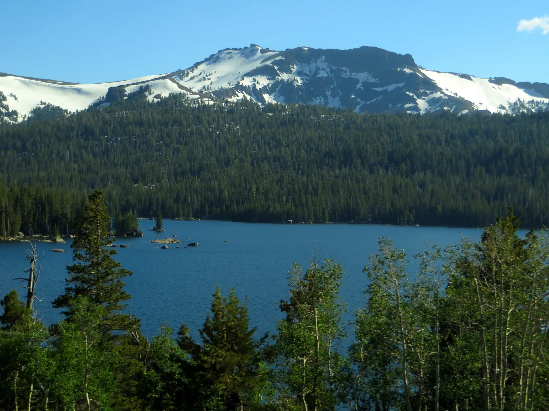
154,000 acres surrounding America's most iconic alpine lake: crystal-clear water, granite peaks, forest ridgelines, and year-round outdoor recreation from South Lake Tahoe to Truckee.
8 min read

913,000 acres of remote Coast Range wilderness in northern California: the only national forest in California with no paved roads through its interior, with wild turkey, black bear, and spring wildflowers unmatched in the state.
6 min read
A Sierra Nevada national forest covering nearly 900,000 acres from the Central Valley foothills to the Emigrant Wilderness, with 800 miles of trails, the Clark Fork of the Stanislaus River, and high-country access from Sonora Pass.
7 min read
1.1 million acres of the northern Sierra Nevada and Cascades foothills: the Feather River canyon, a dozen glacially carved lakes, and one of California's most diverse mountain forests between Sacramento and Reno.
6 min read
Lassen National Forest spans 1.2 million acres of volcanic terrain, alpine meadows, and old-growth conifers in northeastern California, neighboring the geothermal wonders of Lassen Volcanic National Park.
7 min read
A 1.3-million-acre national forest in the central Sierra Nevada bordering Yosemite, Kings Canyon, and Sequoia, featuring the Kaiser Wilderness, Dinkey Lakes Wilderness, and hundreds of miles of trails from foothills to alpine peaks.
6 min read
A 3.2-mile hike to the summit plateau above Lovers Leap, one of Northern California's premier rock climbing walls, with American River canyon views and accessible terrain near Strawberry, California.
3 min read
A 4-mile out-and-back to a spectacular Sierra Nevada waterfall in the Twin Bridges area near Strawberry, one of the most dramatic spring and early summer hikes accessible from US-50.
3 min read
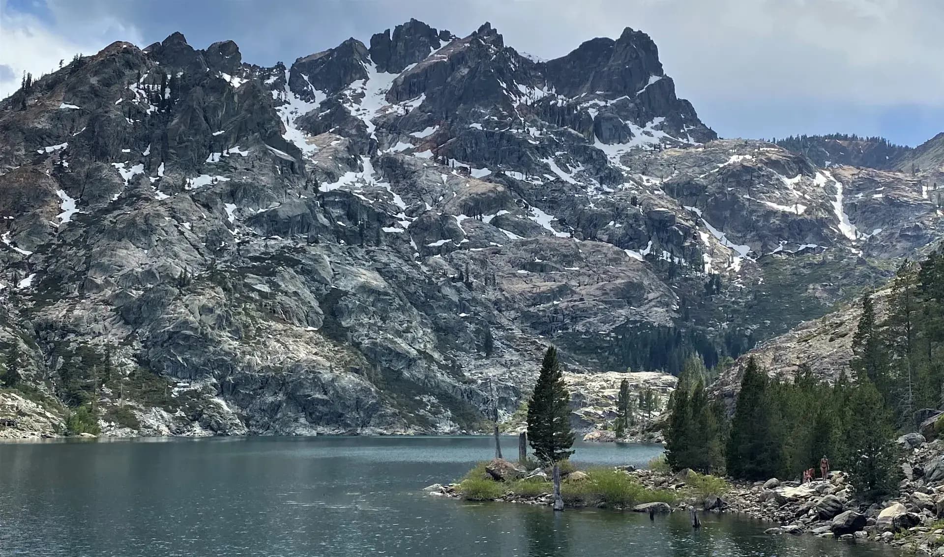
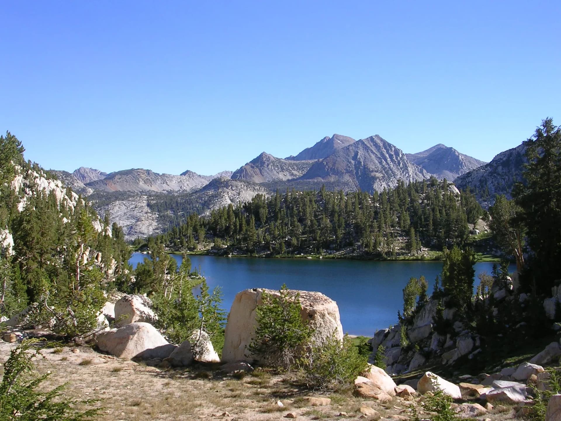
An 8.6-mile out-and-back through the Crystal Basin high country with panoramic granite lake views, connecting the Loon Lake area to the historic Wentworth Springs area in the northern Eldorado National Forest.
3 min read
Guide to the Palisade Creek Trail in Tahoe National Forest, California. A 12.7-mile out-and-back from French Meadows Reservoir into a remote granite canyon draining the Granite Chief Wilderness.
6 min read
A 5.6-mile out-and-back to a high-elevation granite lake on the edge of the Desolation Wilderness, accessible from the Wrights Lake Trailhead with views of the Sierra Nevada high country.
3 min read
A 10.4-mile out-and-back following the Rubicon River through a glacially carved Sierra Nevada canyon with swimming holes, granite scenery, and connections to the Desolation Wilderness trail network.
3 min read
Guide to the Loch Leven Lakes Trail in Tahoe National Forest, California. A 7.5-mile out-and-back from the I-80 corridor through pine and granite terrain to three alpine lakes between 6,800 and 6,900 feet.
6 min read
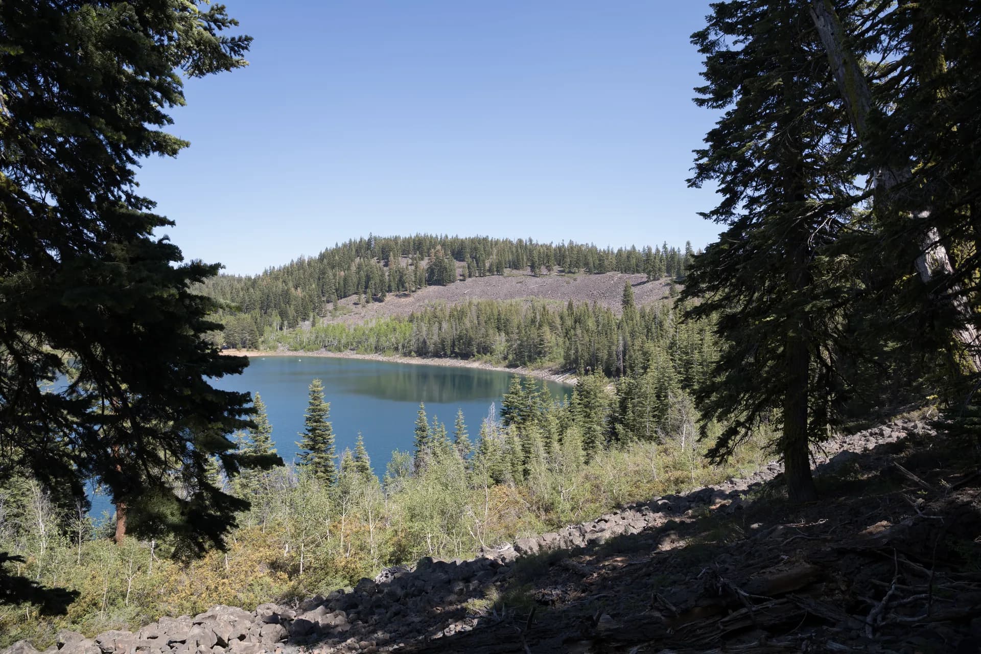
Guide to the Grouse Ridge Trail in Tahoe National Forest, California. A 10.1-mile loop from the Grouse Ridge trailhead through the Gold Lakes Basin, passing Milk Lake, Island Lake, Long Lake, and Glacier Lake.
6 min read
A 9.5-mile out-and-back to Feather Falls, one of the highest waterfalls in the continental United States at 410 feet, through mixed conifer forest in the southwestern foothills of Plumas National Forest.
3 min read
A 9.4-mile loop to one of the tallest waterfalls in the United States, dropping 640 feet into the Middle Fork Feather River canyon in the Plumas National Forest-adjacent corner of Lassen National Forest.
3 min read
Guide to the Round Lake Trail in Tahoe National Forest, California. An easy 4.5-mile out-and-back from the Carr Lake trailhead through the Gold Lakes Basin to Round Lake at 7,000 feet.
6 min read
A 6-mile loop around Silver Lake in the Amador County section of the Eldorado National Forest, combining reservoir views with mountain meadow hiking at 7,200 feet elevation near Kirkwood.
3 min read
A 9.4-mile out-and-back to the 9,735-foot summit of Mount Tallac in the Lake Tahoe Basin, with 3,300 feet of elevation gain through the Desolation Wilderness fringe and a summit panorama ranked among the finest in the Sierra Nevada.
3 min read
A 10.0-mile out-and-back into the Desolation Wilderness from Bayview Campground, climbing through granite and subalpine forest to three connected granite-rimmed lakes with good backcountry camping and fishing.
3 min read
A 7.2-mile out-and-back to a remote lake in the Mokelumne high country via a historic emigrant route, with views of volcanic Sierra peaks and excellent solitude in the southern Eldorado National Forest.
3 min read
Guide to the Five Lakes Trail in Tahoe National Forest, California. A 4.6-mile out-and-back from Alpine Meadows Road into the Granite Chief Wilderness, with nearly all elevation gain in the first mile.
6 min read
A 2.0-mile out-and-back to Eagle Lake above Emerald Bay in the Lake Tahoe Basin, one of the most popular short hikes in the Sierra Nevada, ascending granite steps to a clear cirque lake with views back toward Lake Tahoe.
3 min read
A 1.5-mile out-and-back to the classic Emerald Bay overlook above Lake Tahoe, the most photographed view in the basin, with Fannette Island, the historic Vikingsholm, and Tahoe's blue water below.
3 min read
A 6.5-mile out-and-back from Fallen Leaf Lake into the Desolation Wilderness along a historic wagon road through Glen Alpine Springs, with access to Grass and Susie Lakes in the Sierra Nevada high country.
3 min read
Guide to the Granite Chief Trail in Tahoe National Forest, California. A 6.8-mile out-and-back to the 9,019-foot summit of Granite Chief, the high point of the Granite Chief Wilderness above Palisades Tahoe.
6 min read
Guide to the Castle Peak Trail in Tahoe National Forest, California. A 6-mile out-and-back from the Boreal trailhead at Donner Summit to the 9,103-foot summit of Castle Peak, with Pacific Crest Trail access.
6 min read
A 6.5-mile loop around Fallen Leaf Lake south of South Lake Tahoe, through old-growth Jeffrey pine and white fir with shoreline views of one of the Tahoe Basin's most beautiful secondary lakes.
3 min read
A strenuous 14-mile out-and-back to the 9,332-foot summit of the Mokelumne Wilderness, the defining summit hike of the Eldorado National Forest with views of the Sierra Nevada from Lake Tahoe to the Central Valley.
3 min read
A 7.0-mile out-and-back on the Tahoe Rim Trail from the Big Meadow Trailhead on Luther Pass, traversing the south shore ridgeline above 8,000 feet with Lake Tahoe views and access to the Round Lake and Dardanelles area.
3 min read