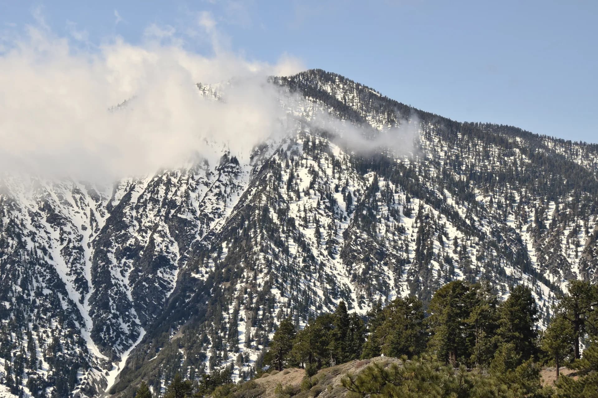
Angeles National Forest
California700,386 acres
Complete guide to Angeles National Forest in Southern California. Trail recommendations, campgrounds, permits, mountain peaks, and trip planning resources for LA's backyard wilderness.
12 min read
Independent Outdoor Research
Accurate stats, honest difficulty ratings, and the detail that actually helps you plan your next trip.
Did You Know?
158,000 mi
of hiking trails
More than any land system in America
60%
of western freshwater
Originates in national forest watersheds
Free entry
at most forests
No entrance fee unlike national parks
Accurate distances, actual elevation gains, current permit costs. No recycled descriptions or copy-pasted stats from outdated sources. Every stat verified against USFS data.
We call out brutal summer heat, sketchy creek crossings, and trails that are harder than their rating suggests. Seasonal conditions, not just ideal conditions.
No tourism board money, no sponsored "best of" lists. We built the resource we wanted: independent, accurate, and written by people who actually use public lands.